Weather observing in the Antarctic
Observing the weather in the Antarctic can be challenging. However, we at the Bureau of Meteorology can often call upon a considerable experience working in other extreme climates that braces us for the polar extremes — particularly the wind!
The work begins before even arriving on the frozen continent, with a full program of weather observations at sea on the voyage south. Reports are generally made every three hours, and include important information about sea and swells, which can get quite epic! In an otherwise data-sparse region of the Southern Ocean, these reports are critical for forecast and warning service providers across the southern hemisphere.
Antarctica is of course, known for its extreme winds, and no less so at Mawson, where enhanced katabatic winds are a feature of the local climate. This often impacts on an already steady, and often strong, south-easterly air flow, that can result in blizzard conditions.
The Bureau has defined a blizzard as when the following conditions occur together: The air temperature is 0ºC or less; the visibility is 100m or less; and the average wind speed is 34 knots (63km/h; gale force) or more and lasting for at least one hour. The latter is the only condition with a time constraint, so we often experience poor visibility and low temperatures together, but the wind may not be gale force.
This year has been an active one for blizzards, and we were introduced to their ferocity with no less than four events in our first month of February! Clearly blizzards are not confined to any particular time of the year, as we discovered. June has so far registered the most events, with 9; our season total is now 40, although I’m sure we have yet to see the last!
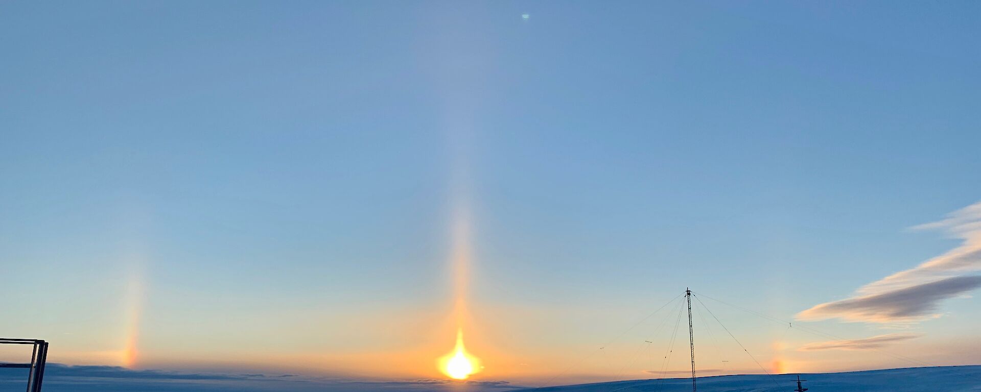
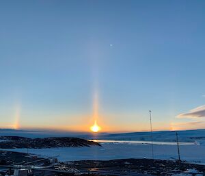
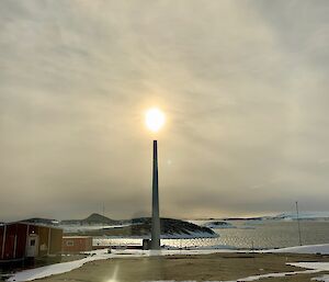
Other than blizzards, phenomena not often seen on mainland Australia are experienced, including solar pillars, often developing into sun dogs and eventually a full halo; and polar stratospheric cloud, also known as nacreous cloud. Solar pillars are not infrequent, and can be a quite spectacular pillar of light stretching directly above a rising sun. If conditions are conducive, the event can develop sun dogs. which is part of a larger halo and occurs when sunlight is refracted off ice crystals.
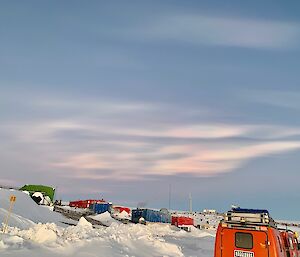
Nacreous cloud are an infrequent event, but can be spectacular, manifesting as brightly-coloured layers, almost mother-of-pearl in appearance, occurring very high in the atmosphere where temperatures are very cold and other cloud is unlikely to form. The colours form as a result of diffraction and interference of light waves. The event experienced here at Mawson coincided with preparations for the Midwinter swim, so provided quite a spectacular backdrop.
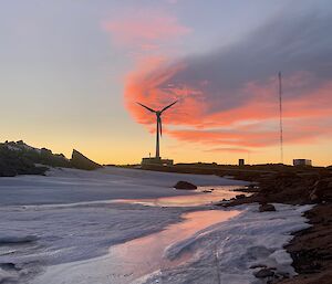
It has been a privileged experience to work here reporting the weather. The skies and landscapes offer a treat for the eyes, and the camera lens. We utilise the latest modern equipment and methods to perform that work. I think back to, and greatly respect, our predecessors in days gone by, when conditions were considerably more spartan, and recording and reporting the weather was very much hands-on. However, we share the same goal, then as now: to maintain recording equipment, and to record and report the weather from an isolated location — one which has considerable bearing on the broader climate across the globe, including Australia.
- Roelof Hoebee (BoM Senior Observer — 72nd ANARE).

