Navigation using GPS (Global Positioning System)
GPS is a satellite system that can give positions accurate to within a metre. Civilian receivers (of the type used by expeditioners in the AAP), are accurate to between 15 m and 100 m.
GPS gives a position in a range of latitude and longitude coordinates. It works by measuring the time taken for time signals to travel from a satellite.
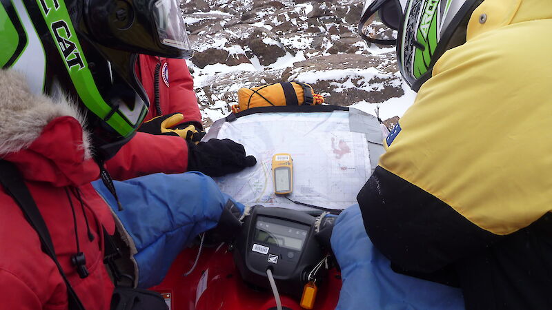
Many routes off Australian stations are marked by cane lines, along which are defined locations known as waypoints. In the context of GPS navigation, you travel from waypoint to waypoint.
Each cane and each waypoint has a unique number. The location (latitude/longitude) of each cane, and waypoints at every change in direction, are recorded in the cane line database. These are available in printed or electronic forms to every expeditioner on station.
All station over–snow vehicles are equipped with GPS navigation equipment.
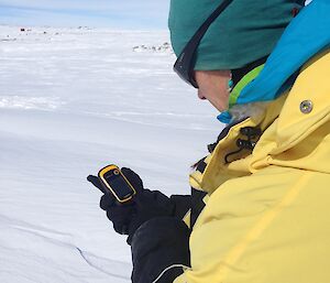
In cold weather, the LCD screens may not function well. Keep hand–held GPS units in a warm pocket and minimise exposure to the cold. Always carry spare batteries. Batteries never last very long in cold weather.
GPS units should only be used as navigation aids, not as the sole means of navigation.
Navigation using radar
Vehicles can be navigated using marine radars. Marine radars work at temperatures as low as –35 ˚C.
Canes, poles and drums may be detected at distances of up to 10 km. Other vehicles are detectable at a distance of 30 km. Vehicle campsites with caravans have been located at distances of 37 km. Zones of high sastrugi may also register.
The radar is particularly useful for locating fuel dumps, unstaffed observatories and camps. It will aid navigation in conditions of poor visibility when moving along established routes.
Radar can be hazardous to people outside the vehicle. Never use the radar when on station, at a field camp, when people are present outside or riding in the rear cab.


