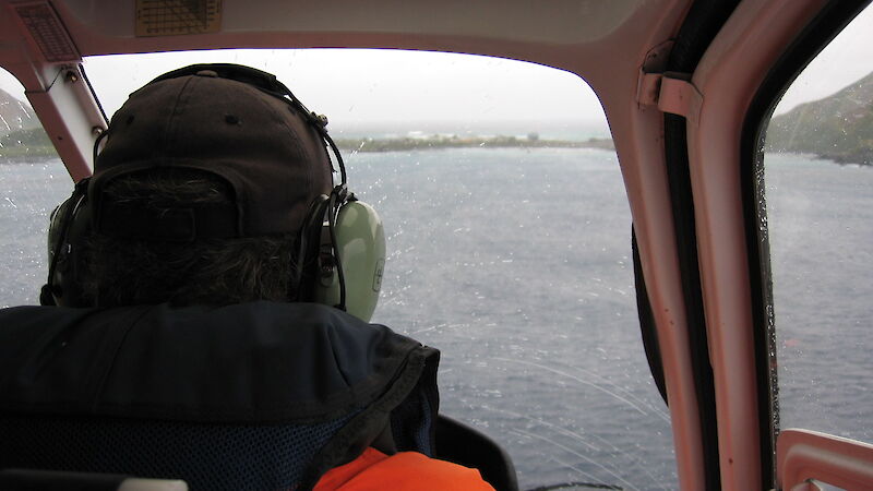
Helicopters operate under ‘Visual Flight Rules’ (VFR). This means that they have to be able to visually determine their position by reference to the ground or water at regular intervals.
Helicopters used by the AAD in Antarctica use ‘dead reckoning’ as the primary form of navigation. Dead reckoning is the use of maps and known landmarks combined with aircraft airspeed to determine position.
The introduction of GPS, combined with increasing satellite reliability, has allowed aircraft position and ground speed to be displayed instantly to the pilot. Although this is very useful, the pilot must still be able to navigate by dead reckoning in case of system failure.
GPS is particularly useful when flying over featureless terrain like sea ice or the ice plateau, with few or no mapped landmarks. GPS also allows aircraft position to be sent to communications staff instantly.
Many of the programs currently supported by helicopters are reliant on satellite–based technology. Although GPS navigation is not a requirement for helicopter navigation, it is needed to meet the requirements of these programs. Such programs include deploying buoys onto ice floes, deploying equipment in featureless terrain and deploying stakes to monitor glacier movement.
The position of these items can be accurately recorded using GPS, making recovery much easier.

