
Meteorological measurements support forecasting and climate information services such as those provided by the Bureau of Meteorology and the World Meteorological Organisation for weather and shipping forecasts and climate modelling. Meteorological data such as sea ice properties, temperature, wind speed and wave heights are also important for the day-to-day operation of the ship at sea.
Atmospheric research includes studying interactions between the atmosphere, ice and ocean, which help us understand large-scale patterns of climate variability that can influence weather and climate in Australia and other parts of the world. Atmospheric research incorporates meteorological data, but also relies on specialist instruments to study aerosols, clouds, gravity waves, cosmic rays, ozone and ozone depleting substances.
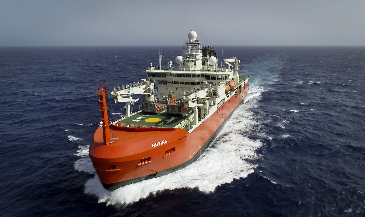
To support the meteorological and atmospheric science needs the ship includes:
- a weather radar, in prime position at the very top of the ship, to measure precipitation and winds out to hundreds of kilometres from the ship, in support of vessel operations and scientific research
- an air sampling mast and air chemistry sensor space (suitable for a range of instruments measuring gases, aerosols and ozone) at the bow of the ship, away from sources of air contamination
- an instrument to measure carbon dioxide in the atmosphere and ocean
- balloon inflation and launching facilities – to launch balloon-borne sondes that collect data on temperature, wind speed and direction, humidity and ozone concentration
- a ‘ceilometer’ to measure cloud height and properties (useful for helicopter operations and cloud research)
- an ice navigation radar to differentiate between open water, ice pans, leads in ice fields, and the thicker ice ridges that impact operations in ice zones
- a wave monitoring radar to measure wave and swell height and direction, and surface currents
- receivers to collect real-time polar orbiting environmental satellite imagery for sea ice analysis, weather analysis and forecasting
- an ‘automatic total sky imager’ (a camera) to calculate fractional cloud cover and sunshine duration.
The upper and heli decks also have capacity to accommodate emerging and anticipated future research needs, including the launch and retrieval of Uncrewed Aerial Vehicles and tethered devices such as kites and balloons. The upper deck has space for four 20 foot containers to house specialist laboratories and other equipment such as a LIDAR (light detection and ranging) instrument, used to study climate in the middle atmosphere (10–100km above).
Weather Radar
The weather radar is an X-band (3.2 cm), dual polarization, offset feed, Doppler weather radar designed to produce research quality data. It features a high-power, pulsed, magnetron transmitter, a digital IF processor, a 1-degree beam-width dual polarity antenna that is steered by a dual axis pedestal. It has a maximum range of 256 km. The weather radar data is provided to the science data management system (SDMS).
Sensors
Sensors for measuring meteorological and atmospheric parameters are located in various areas of the ship that have unimpeded access to factors that they measure. These areas include:
Foremast:
- Ultrasonic wind sensors - port and starboard
- Humidity and temperature probe
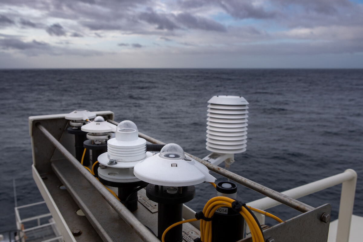
Monkey Island (Deck 11) and Mainmast:
- Humidity and temperature probes - port and starboard
- UV biometers - port and starboard
- Radiometers - port and starboard
- Long wave radiation sensors - port and starboard
- Photosynthetically active radiometers - port and starboard
- Pyranometers - port and starboard
- Digital barometer
- Visibility and present weather sensor
- Ceilometer cloud height sensor
- Ice wave radar
Starboard Bridge wing:
- Infrared Sea surface temperature Autonomous Radiometer (ISAR)
Aft (Deck 9):
- Ultrasonic wind sensor