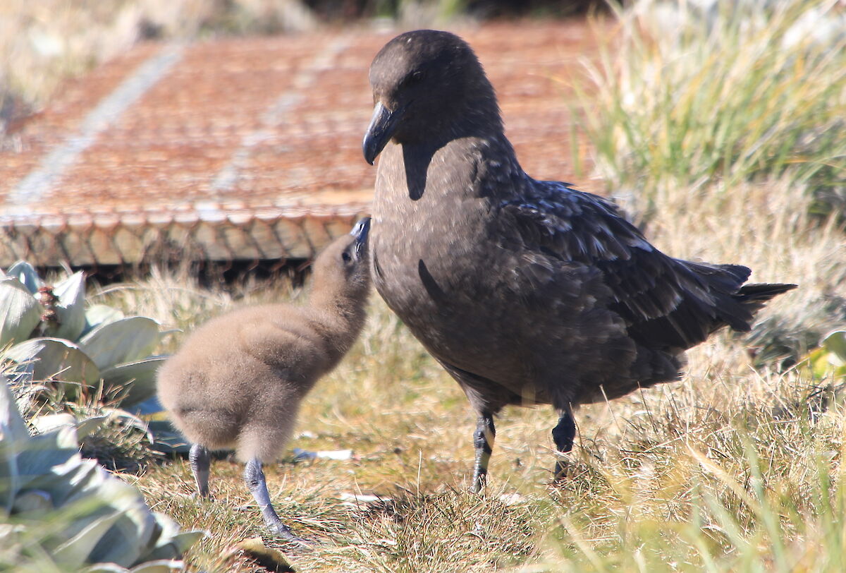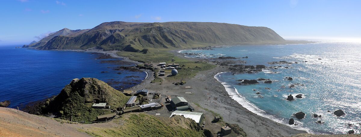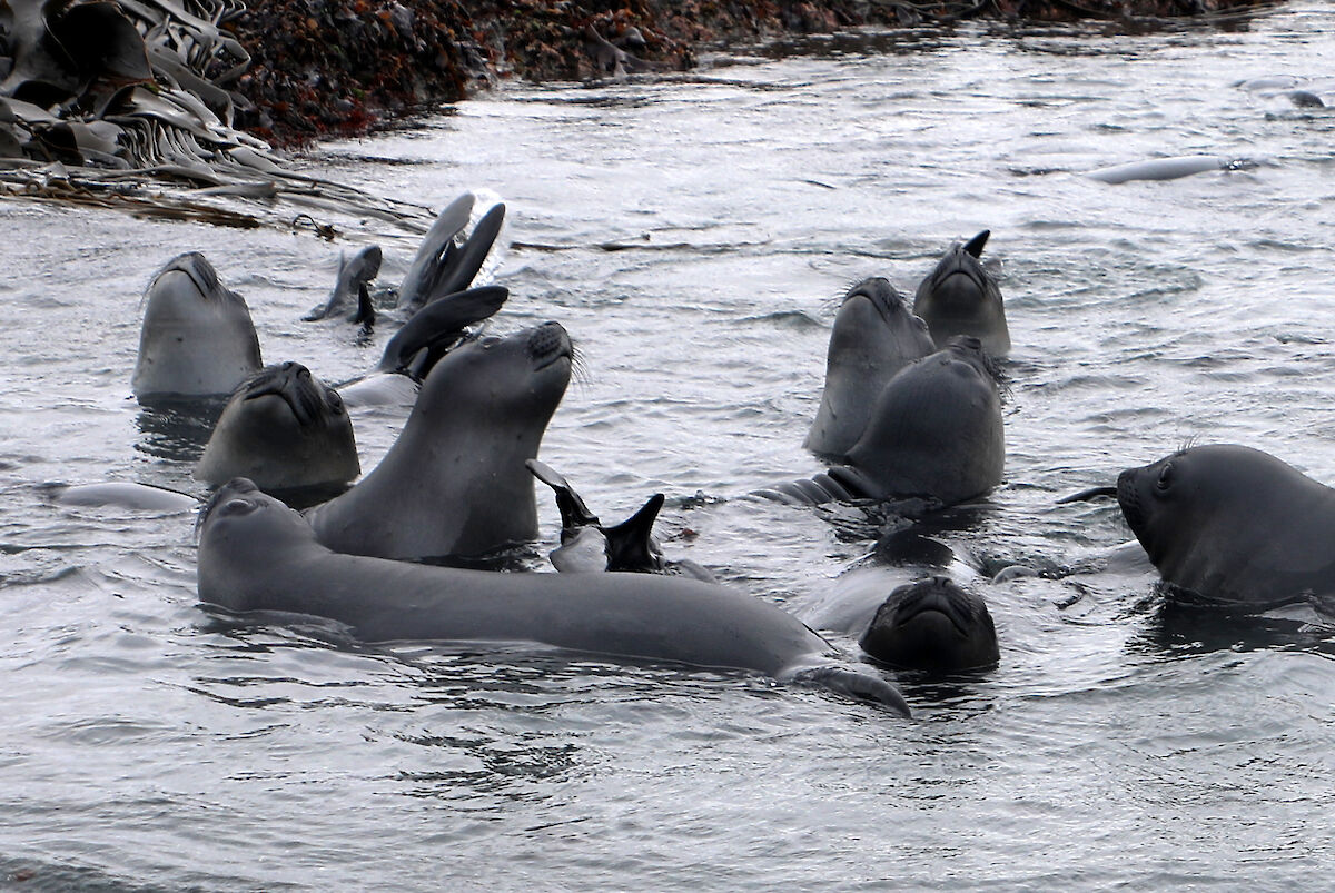

A not so active moment on Macca
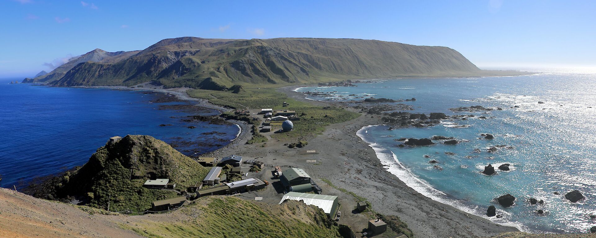
Last Sunday night, 12 December, at 8:30 pm a siren sounded across the station. For me, as a new arrival on station, I had to think for a while as to which of the four possible alarms this particular one was. I was pretty sure it wasn’t the Meteorological Office hydrogen alarm as I was sitting working in that office. That left the Search and Rescue or Fire and Tsunami alarms. Regardless of which it was I still had to grab my stuff, get out of the office and head to the main muster area. This gave me a bit of time to think about it. The alarm was a single rising tone that lasted for about 3 seconds and then repeated. I remembered then that I had a bit of a mnemonic for this one. Rising tone equals what I have to do — rise — not just get off my bottom and start moving but get to high ground. It was the tsunami alarm.
The Station Leader, Derek, received a phone call from the Bureau of Meteorology’s Joint Australian Tsunami Warning Centre (JATWC) to say there had been an earthquake to the south southwest of us, about 700km to the SSW, and there was a potential tsunami threat. Derek sprang into action and hit the alarm button while he waited for more information from the JATWC.
As far as earthquakes go, the earth hadn’t moved for me or anybody else on station come to that. Fortunately for us it was only a 6.6 magnitude quake and far enough away to only generate a Marine Threat. “Which is what?” I found myself asking. Well, I can now tell you that there are three categories of threat level in our tsunami warnings. They are:
- No threat. An undersea earthquake has been detected; however, it has not generated a tsunami, or the tsunami poses no threat to Australia and its offshore territories.
- Marine and immediate foreshore threat. Warning of potentially dangerous rips, waves and strong ocean currents in the marine environment and the possibility of only some localised overflow onto the immediate foreshore.
- Land inundation threat. Warning for low-lying coastal areas of major land inundation, flooding, dangerous rips, waves and strong ocean currents.
This meant those who had just high tailed it up the rough narrow track to our designated tsunami meeting point, the Ham shack, tackling 105 steps with survival packs on, and who were now desperately trying to get their breathing and heart rates back under control, were told there was no need for them to be there. Naturally they were very pleased to have to come back down.
We had been given an impact time of about half an hour for the small wave to reach us, but this is Macca and despite watching closely it was lost in the usual 1-3m waves we have rolling in all the time. As it turned out there was ‘no threat’ at all. So, it was a bit like trying to spot a narwhal out there.
I did also find out that the Richter Scale is a bit too simple for today’s tastes, so it has been succeeded by the Moment Magnitude Scale. The Moment Magnitude Scale was introduced in 1979 as a successor to the Richter Scale. The Moment Magnitude Scale compares energy released by earthquakes and is based on the moment of the earthquake, which is equal to the rigidity of the earth multiplied by the average amount of slip on the fault and the size of the area that slipped. Then after all that and using more formulas it is converted effectively back to the Richter Scale, brilliant!
For more info on the work that we and Geoscience Australia do to protect our community from tsunamis have a look here: http://www.bom.gov.au/tsunami/about/jatwc.shtml
From Will and your friendly neighbourhood Macca crew