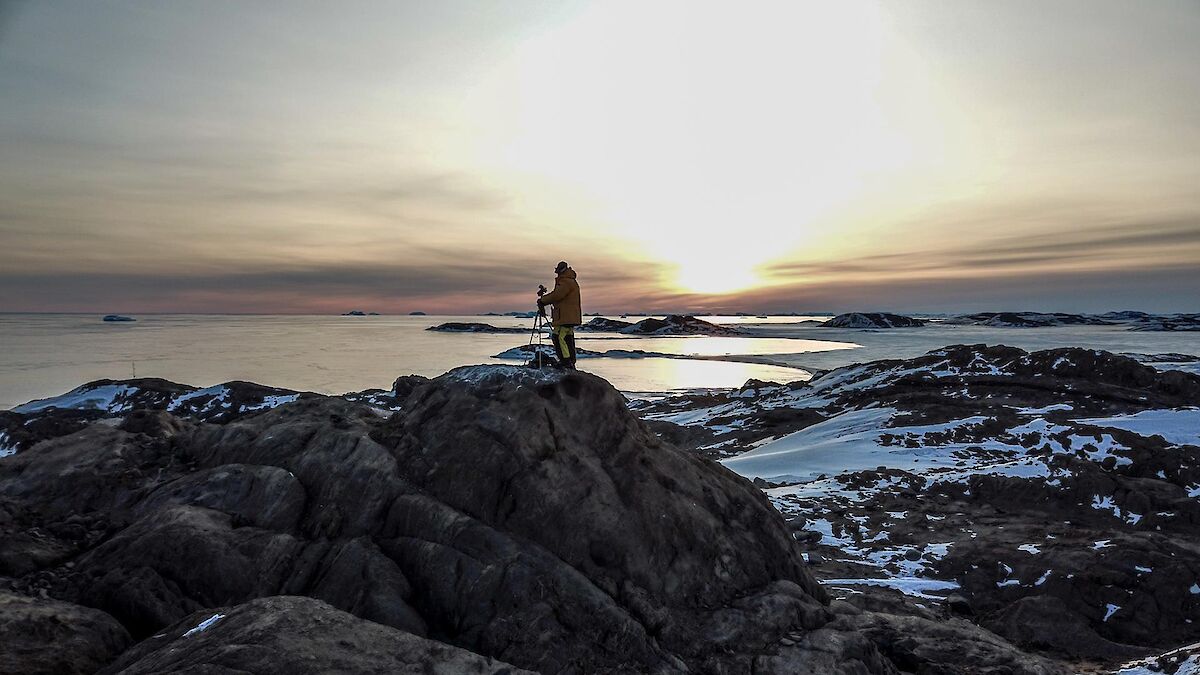

A new point of view….
With the price of today’s technology, purchasing a drone for casual flying is now an affordable hobby — and with a trip to Antarctica ahead of me, I couldn’t find a reason not to purchase one. With onboard GPS, automatic stabilisation to counter for environmental factors such as wind, plus 30 minutes of flight time — even in minus 10°C — it wasn’t long before I had this drone giving me footage of the station with a real ‘wow’ factor.
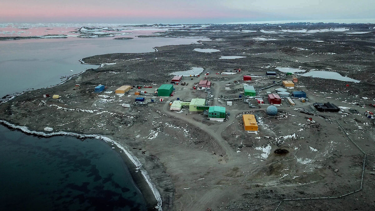
The inbuilt 4k camera allows me to view the footage, in real time, straight from my smart phone. Different modes of operation allow me to take full control myself, set way points for the drone to automatically fly to, or even actively track a selected target — maintaining it in view while I fly the drone around.
With all this capability, it isn’t hard to see why it wasn’t long before we started using the drone for more than just fascinating scenery shots.
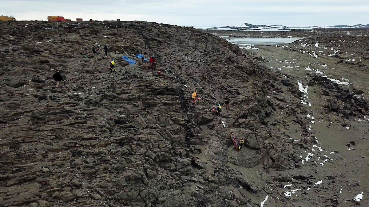
During a search and rescue (SAR) exercise the drone was used to capture some unique footage of the techniques used. The footage collected can now be used in future training to provide a better understanding of the procedures.
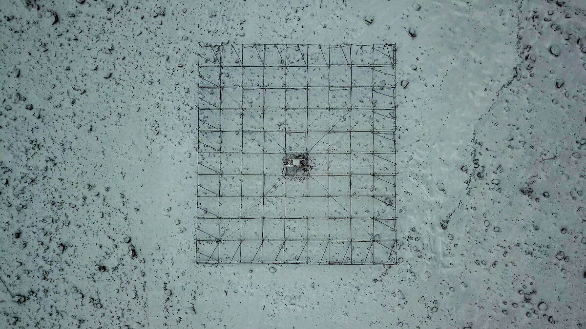
With the vast build-up of snow over the previous winter, the stations Southern Hemisphere Imaging Riometer Experiment (SHIRE) — a 7mx7m array of passive antennas, used for detection of radio frequency noise in the ionosphere — suffered damage as the ice moved and bent parts of the equipment. With the use of the drone we were able to provide high quality footage back to Australia to assess the damage and plan for repairs.
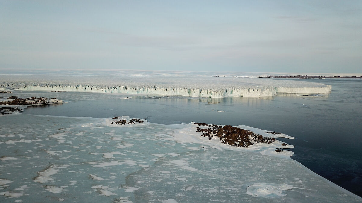
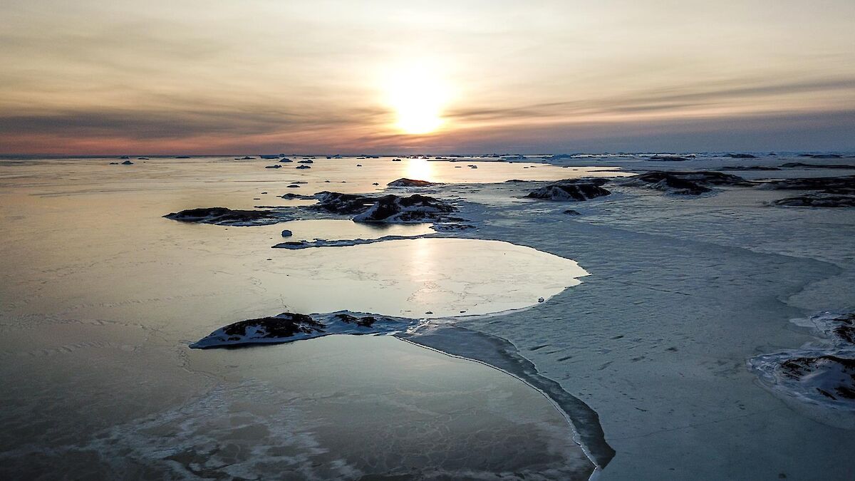
During periods of strong winds, the newly formed sea ice (which we have come to depend on for travel) can break away and be blown out to sea. With the use of the drone we can see these break outs in nearby areas of sea ice and identify any hazardous areas, prior to any sea ice vehicle travel.
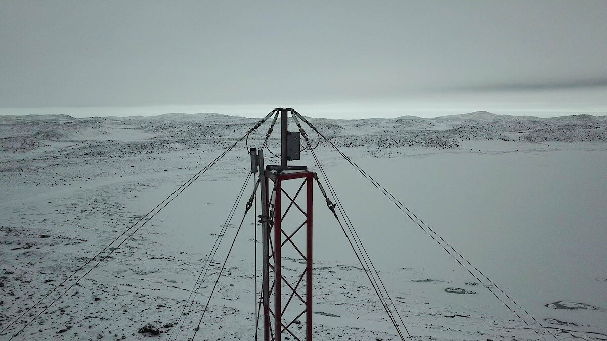
Limited only by the Civil Aviation Safety Authority (CASA) maximum flight height of 120 meters, the drone gives us the ability to inspect equipment on communication towers, negating the need for personnel to be risked with climbing in the harsh Antarctic conditions.
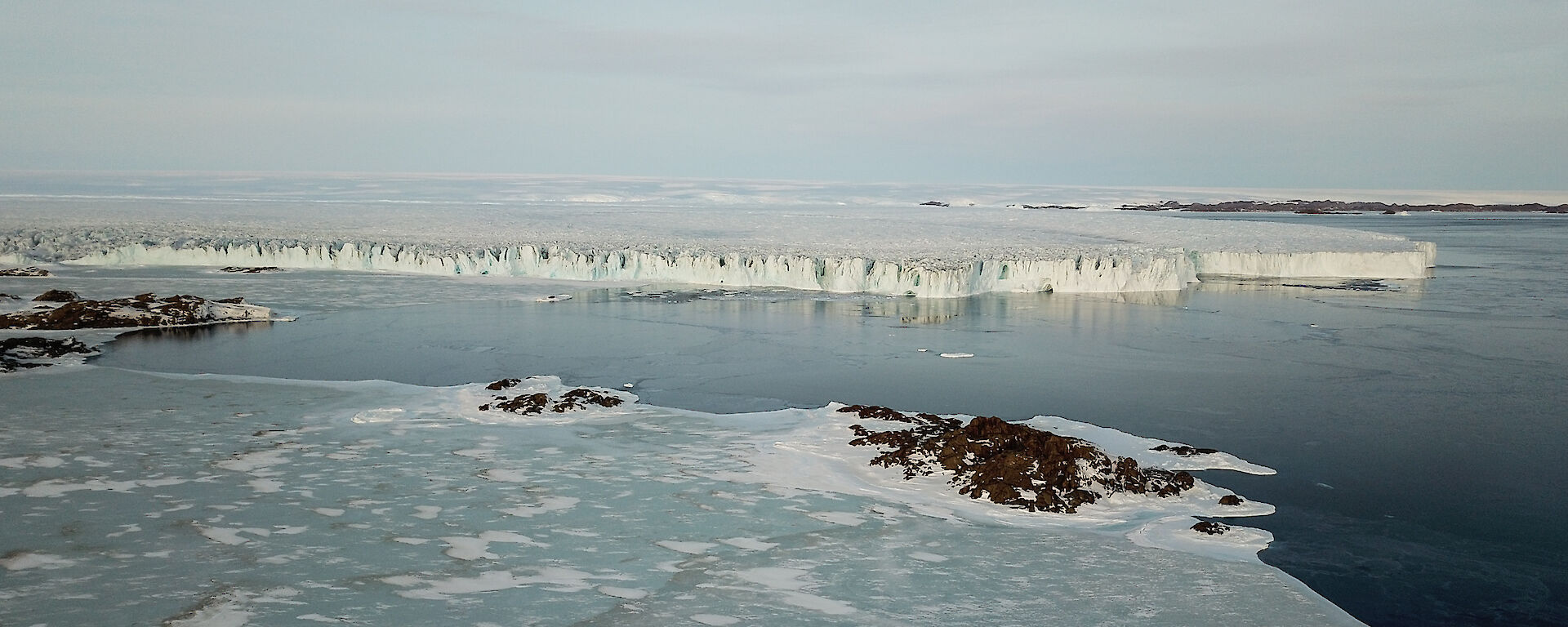
With drones already benefitting us it begs the question: where to next? With its 7km range, will drones be used to find casualties throughout the Vestfold hills during SAR evolutions, much faster than via foot. Can they be used to monitor the colonies of penguins and seals with ease. Or perhaps fly into dangerous areas such as glaciers and ice bergs.
Who knows what the future will hold for the eye in the sky.
Chris Watson, Bureau of Meteorology Technician