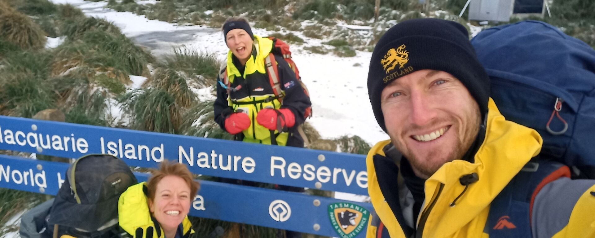
On July 29th, myself and Mel ‘Disco Mega Mix’ Wells – wildlife ranger, radio repeater diagnostician and baker extraordinaire – set off on the inaugural Macquarie Island East Coast King Penguin Mapping and Hurd Point Field Hut Repair Expedition (MIECKPMHPFHRE). The 6-day trip would take us to the very southern tip of the island and back, visiting all but one of the island’s huts along the way. Joining us for the first day and night was ranger in charge, Amy ‘Super Sleuth’ Lewis.
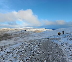
Conditions on the first day were spectacular. Snow underfoot, clear skies above, still air, frozen tarns and the odd ‘snow-bow’ over the ocean to the east had us bounding along towards Brother’s hut with the energy of a puppy being let outside to play. The three-hour hike was punctuated by the discovery of strange tracks in the snow that began and ended in thin air. Initial hypotheses of small mammals, sentient tussock grasses, and a magical gnome on skis being the source were quickly dismissed in favour of redpolls, a member of the finch family found on the island.
The snow disappeared and the low cloud returned the following day as we made our way to Waterfall Bay hut. A side quest took us to the nearby Sawyer falls, which is surreal as much for the fact that it’s situated in the middle of the plateau, as for it appearing to cascade into the Earth, rather than onto the ground from a height. Like Brother’s hut, the accommodation at Waterfall Bay takes the form of a ‘Googie’, which is essentially a massive orange fibreglass Smartie. Due to their round shape and pleasant curves, I find these huts particularly wonderful to stay in. I’m sure there’s a Freudian explanation for this, but I’m convinced it’s simply because subconsciously I imagine I’m living inside a giant piece of confectionary.
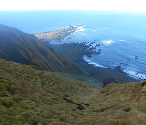
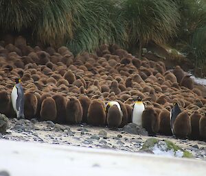
Day three would take us rock-scrambling and tussock-jumping off track for the remainder of the way to Hurd Point, via the coast. Along the way Mel mapped several king penguin colonies throughout the south-eastern Special Management Area (SMA), as part of ongoing monitoring work by the Tasmanian Parks and Wildlife Service. The largest of these colonies, at Lusitania Bay, hosts up to 180,000 king penguins, the chicks of which are so distinct in appearance from their parents they were once classified as a separate species of ‘woolly penguin’. (The wonderfully endearing king penguin chick: picture a pear. Now make it hazelnut-brown. Now make it fluffy. Now make it squeak).
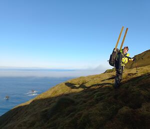
The fourth day at Hurd Point hut was spent in glorious weather – myself, carrying out maintenance around the hut, and Mel, venturing into another SMA to the west to replace automated camera batteries at several wandering albatross nests, with another side quest to the repeater station on Mt. Ainsworth to help diagnose some communications issues. As per the Standard Operating Procedure for Living Your Best Life in a Field Hut, the day was capped yet again with the spicy, soothing warmth of a Tall Hot Ginge (THG = ginger beer cordial + hot water).
As we hiked back towards station from what felt like the edge of the world, the final days of our trip were sprinkled with the spectacular ascent of the eastern jump-up from Hurd Point, the stunning surrounds of Green Gorge hut, a brief glimpse of something the BOM team calls ‘sunshine’, a glorious fogbow, the sweet and melodic coo of a burrowing blue petrel, and spontaneous quizzes on the scientific names of local flora. I never find it easy returning to station from such nourishing adventures, but I’m comforted by the knowledge that the island will always be there - waiting, breathing, changing; forever willing to accept us into its embrace without question or quandary, to be nurtured by its raw beauty once again.
Hamish Stirling – carpenter and taxonomy enthusiast

