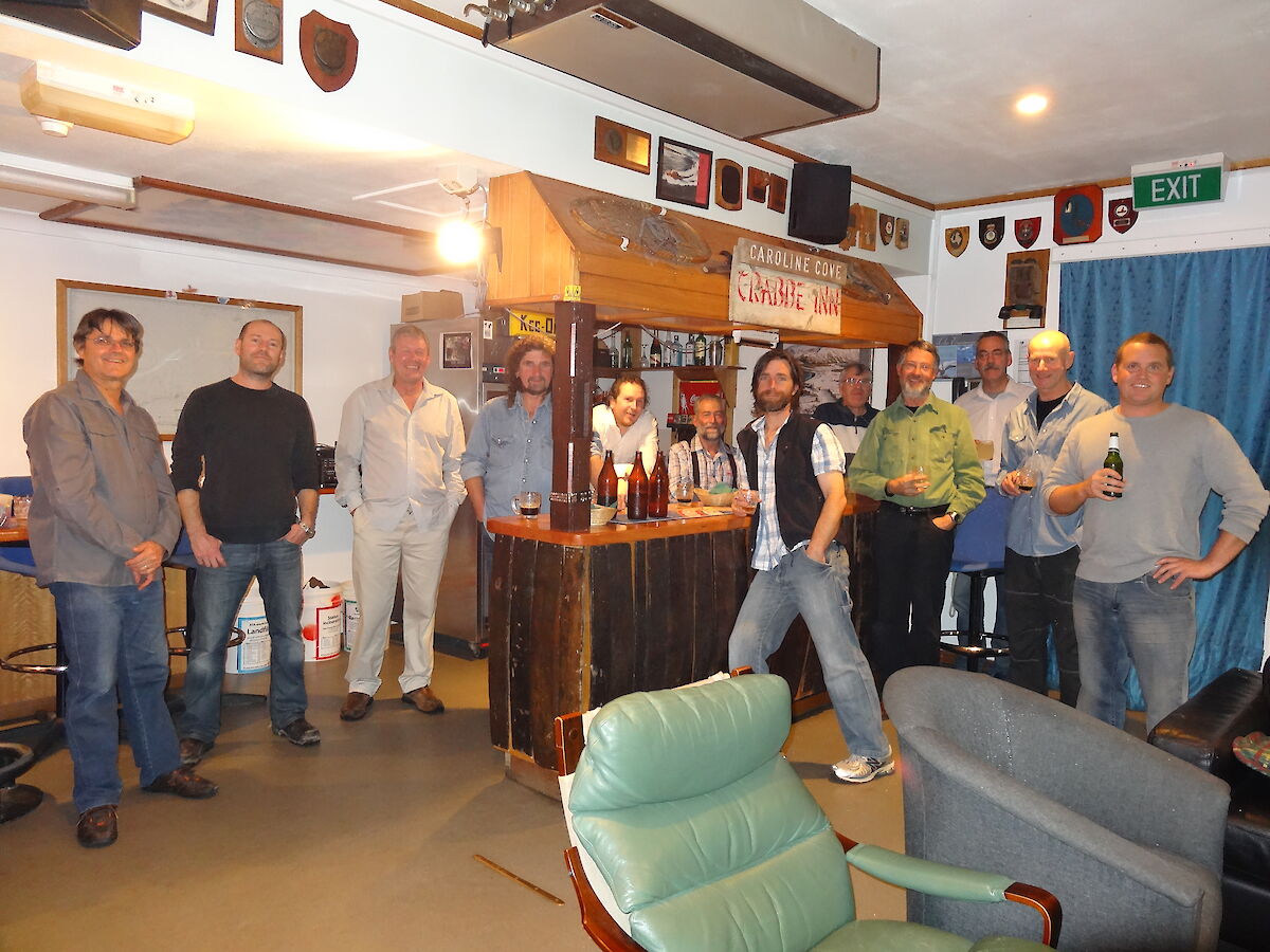
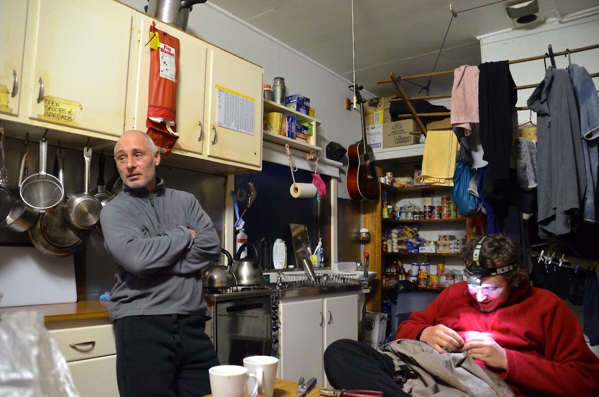
Saturday Night Special. Chris the TASPWS Ranger on Marine debris. Barry, Aaron and Tony (chef) go Field Training
Saturday Night Delight
So the Chef missed his kitchen!
Tony our wonderful Chef spent three tremendous and torturous but very rewarding days out field training in the magnificent Macquarie island wilderness.
All at base missed his amazing cooking and humour, up on his arrival all cheered in happiness.
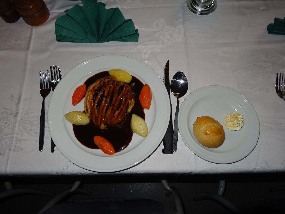
To our surprise The Chef came back rearing to cook! And cook he did! We had Saturday delight at Tonys Macquarie Island Bar restaurant where we enjoyed good tunes, beverages and an amazing feast!
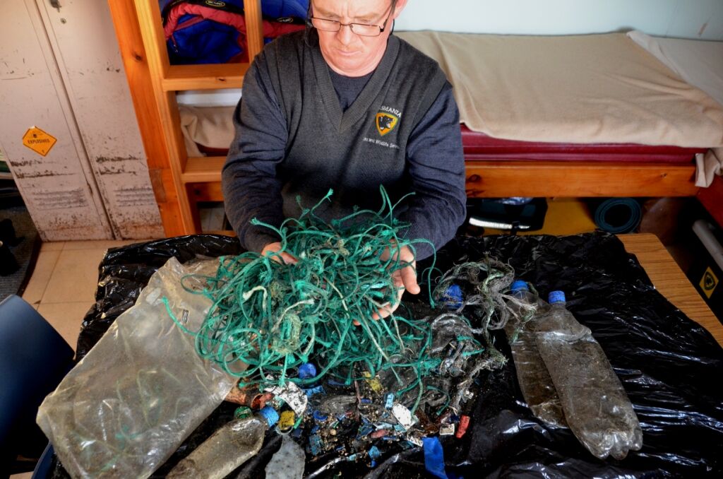
Bauer Bay Marine debris cleanup
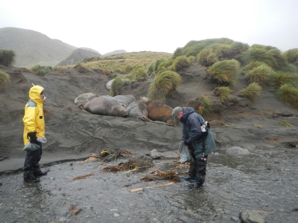
This past fortnight saw a number of tasks being undertaken, one of which was the Bauer Bay Marine Debris Cleanup.
This monthly project has been ongoing on Macca for many years. Rangers and volunteers alike have spent hundreds of hours scouring windswept sections of the islands coastline in all sorts of weather picking up flotsam and debris. This debris has been carried from all corners of the globe by the mighty currents of the Southern Ocean, the rugged longitudinal shape of Macquarie Island provides for a perfect dumping site.
People are becoming more aware of the hazards that even the smallest pieces of plastic can pose to marine life. Research has proven that young seabird chicks have been dying of starvation after being fed small pieces of plastic.
Unknowingly, the adult birds are feeding this debris to their young having mistaken the small pieces of flotsam for small marine invertebrates. The accumulated plastic pieces serve to fill valuable space in the growing chick’s gullet — space that should be occupied by food.
Last year, on Macquarie Island, a fur seal was observed tangled in netting and line on the remote west coast. Fortunately, timely intervention saved this animal but others are not so lucky and perish.
Expeditioners willingly volunteer their time to help with the cleanup task. It gives folks based on the Station a change of focus, a chance to stretch their legs on a different bit of country away from the relative confines and routines of Station life.
On this occasion, Nick and Tom, hunters working on the Macquarie Island Pest Eradication Project took a bit of time out from their day to assist in the cleanup activity. They were returning to the Station for a well earned break and decided to stop over for an extra night and lend a hand.
The benchmark for the 2013 Winter Season has been set! Tom and Nick’s collective efforts yielded 3.2kg of assorted rubbish comprising four PEP soft drink bottles, 16 soft drink bottle lids, 70 small bits of assorted plastic and 272 pieces of green polythene string. Not bad for a mornings work.
One interesting find on this occasion was a soft drink bottle cap promotion prize of free admission to a CINEMARK Cinema with popcorn, value $6.50. Pity it expired in 2005! Precise origins of the bottle cap are uncertain but a suggestion has been made that an interpretation of the text that it is from a country of Spanish speaking origins.
In most cases the origins of the rubbish cannot be proven, but the green twine so often recovered from the coastline here, has been traced back to being used in the long-line fishing industry. Bauer Bay measures two hundred meters wide by four hundred and fifty metres long and the entire Macquarie Island coastline measures over 90 kilometres long. Considering this small area of Bauer Bay is cleaned monthly, that’s a huge potential for rubbish accumulation.
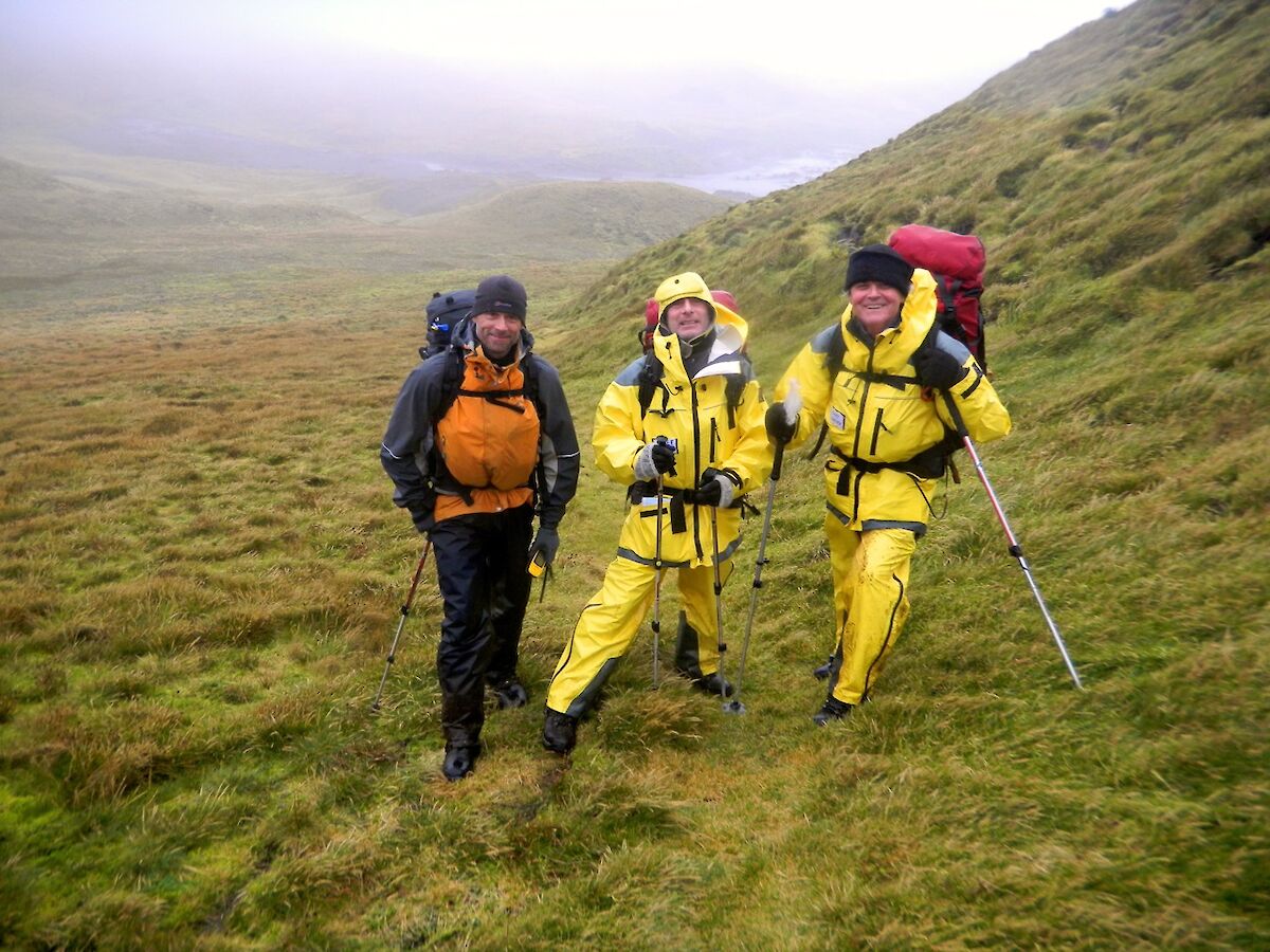
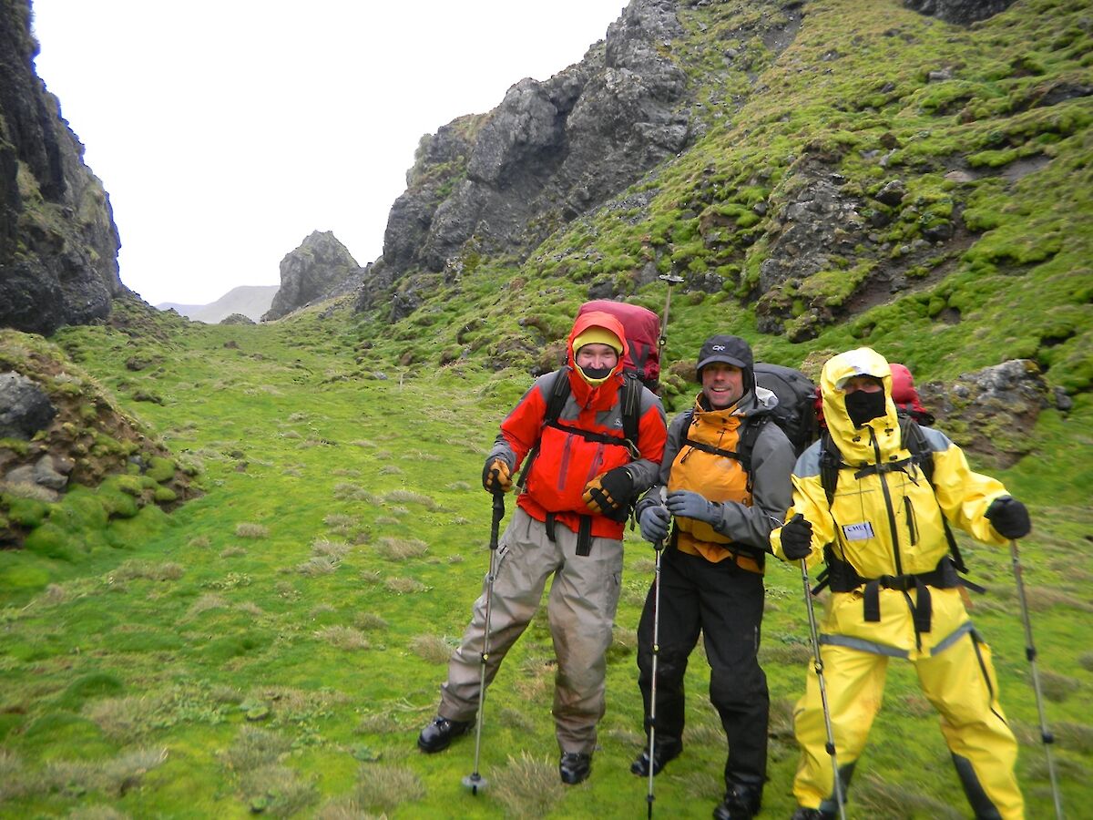
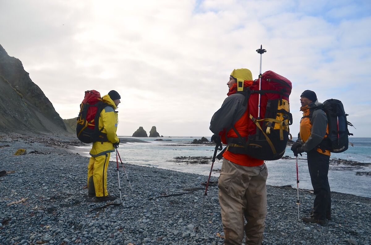
Our turn for field training
Last week saw the third team out in the field for training.
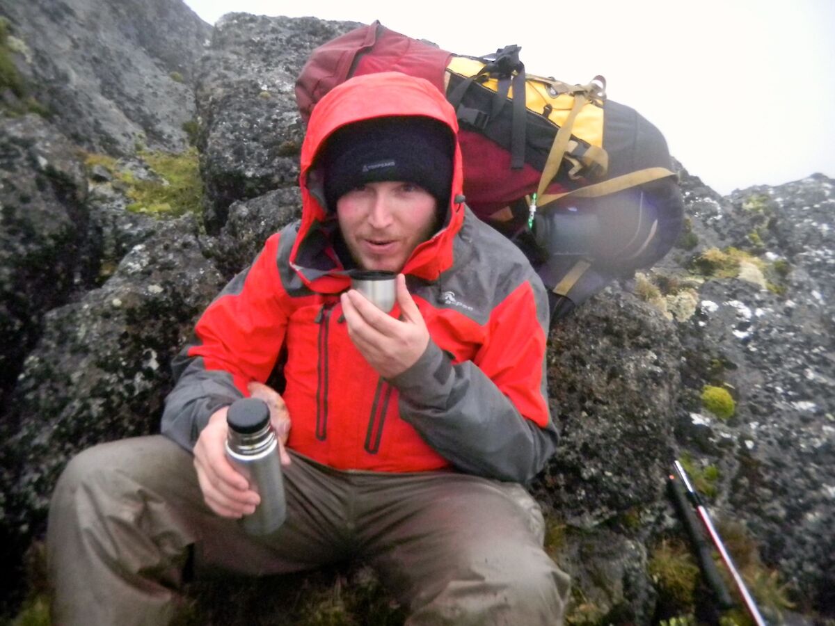
Our field training exercise started on Tuesday night with a hour long session in the library with Marty — going through the plan for the next three days. Aaron, Tony (chef) and Barry were looking forward to the next few days.
Wednesday (day 1) — We met at 0800 and went and checked the latest weather forecasts, then went over some navigation techniques using map, compass and GPS. Then after packing our necessary survival pack we were ready and waiting at the porch to the Mess at 1100.
Our journey began with a stop at the Comms building to pick up a radio, GPS and PIRB, with Aaron being the designated person to carry the ‘SPOT’ device (used for tracking our path).
We then started our walk with an easy stroll along the track and East Beach to the base of Gadgets Gully. Near the gap in Razorback Ridge we discovered that the funneling through the narrow gap enhanced forecast strong winds. For a while we were blown along the track finding it hard to keep our feet in the howling, blustery wind.
The climb up Gadgets elevated our heart rates, but thankfully we were sheltered from the wind. After reaching the top of the gully, at the dam (station water supply), Marty measured the ropes securing the water pipe for replacement in the near future.
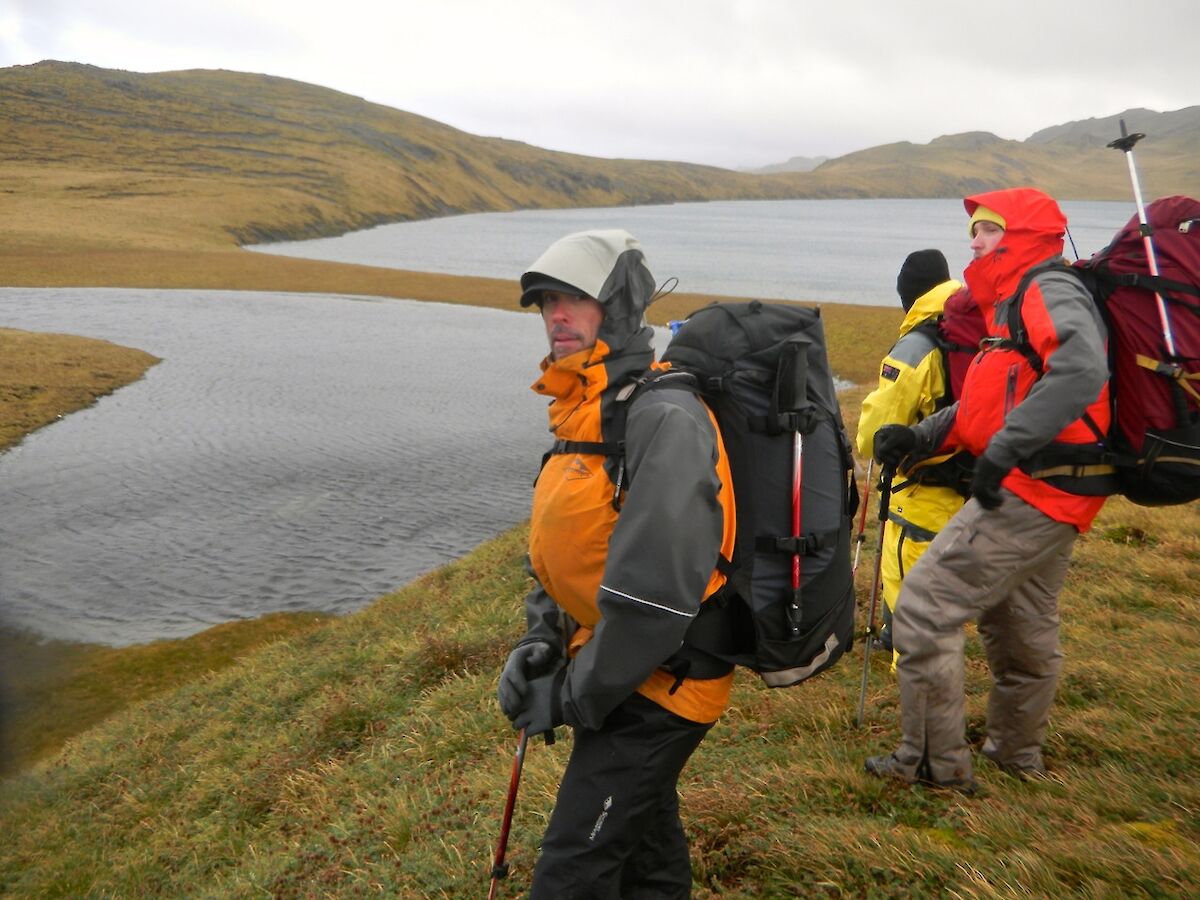
We then proceeded up the track in cloudy, rainy, windy and muddy conditions until we reached the junction of the Overland and Island Lake tracks. We then proceeded along the ILT for the rest of the afternoon, only stopping for short breaks, so we could eat, drink and Marty could point out some features.
The track was very muddy, a lot of the time up to our ankles and each of us did on occasions step in deeper mud puddles. The weather was pretty ordinary with constant rain, hail and persistent wind. We could not see much as we were in cloud.
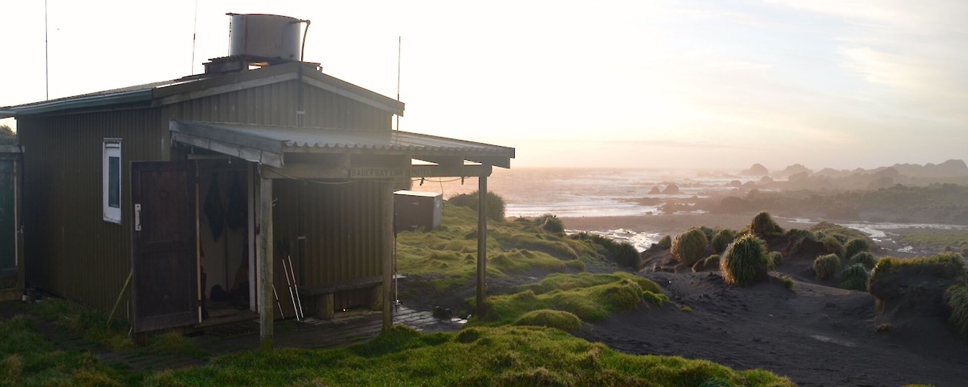
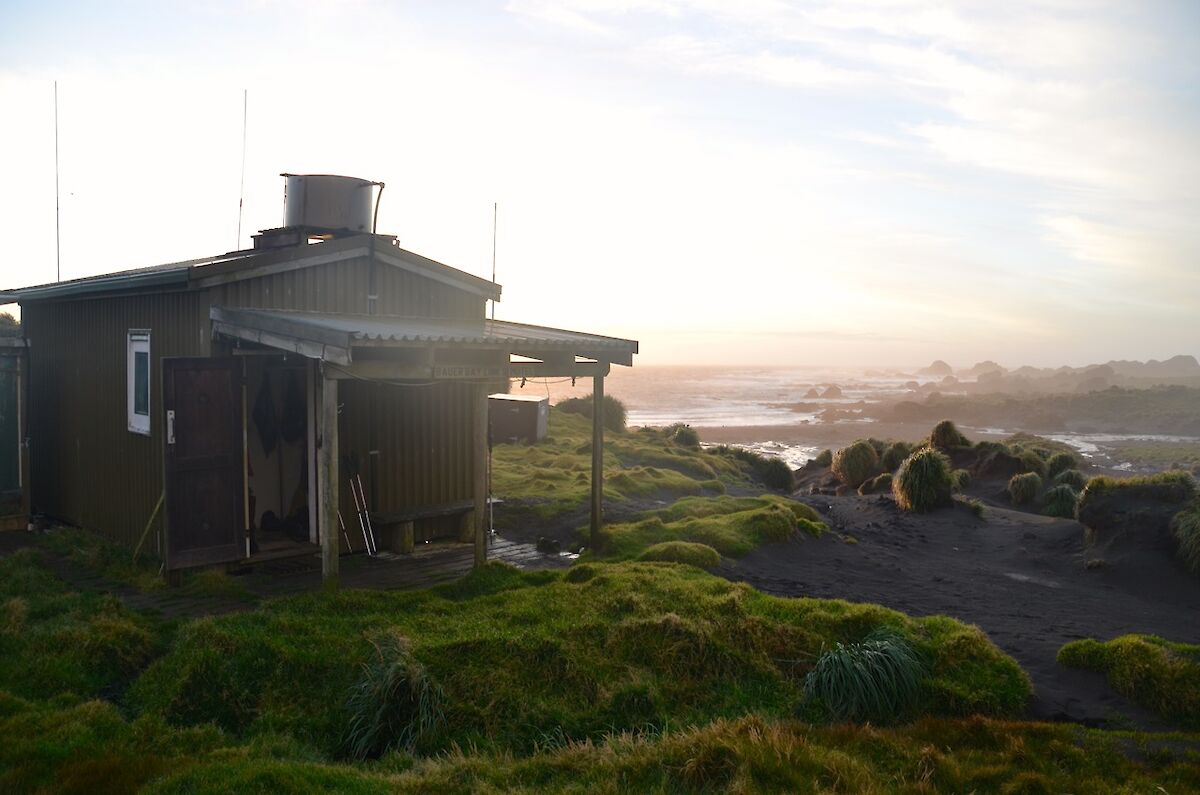
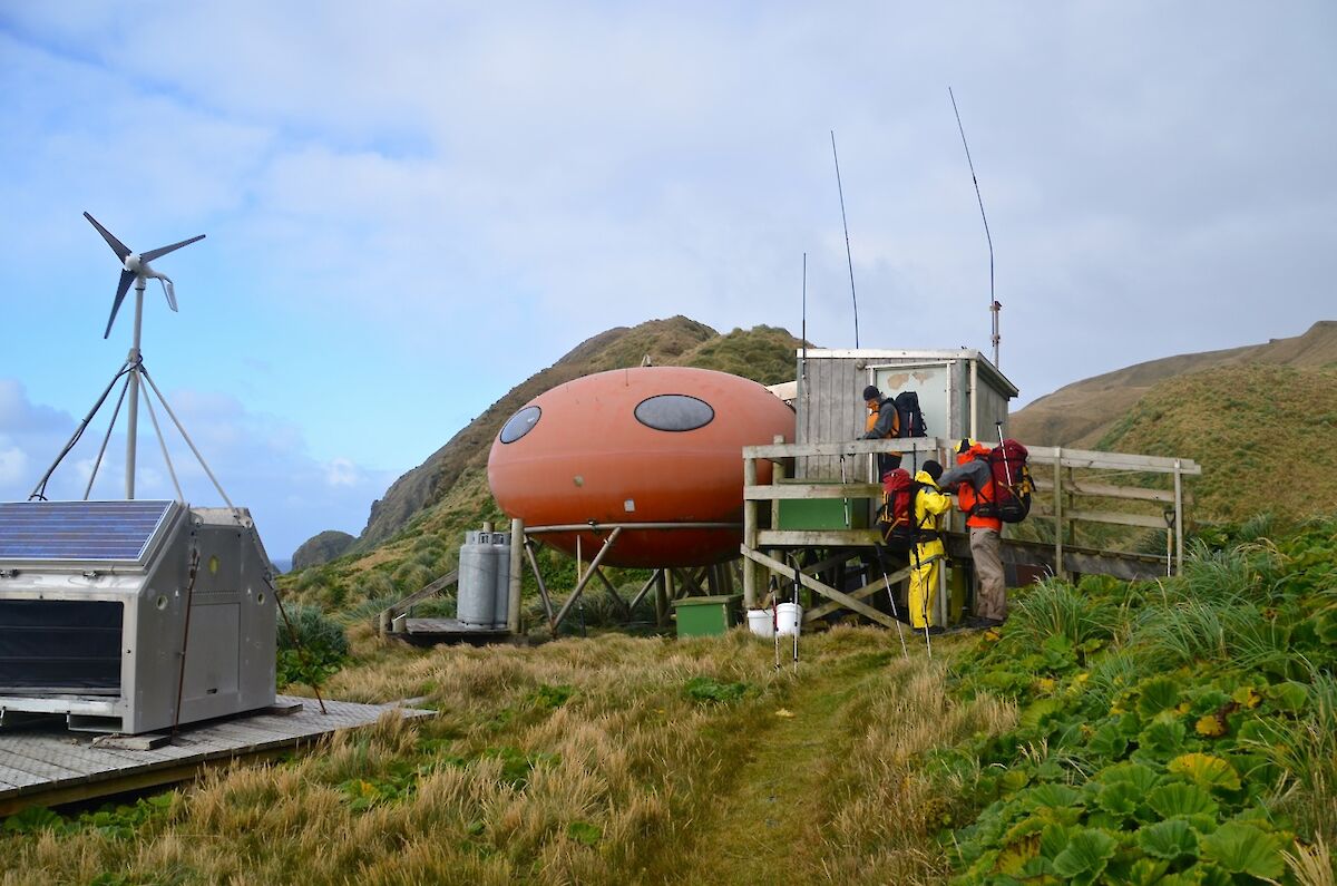
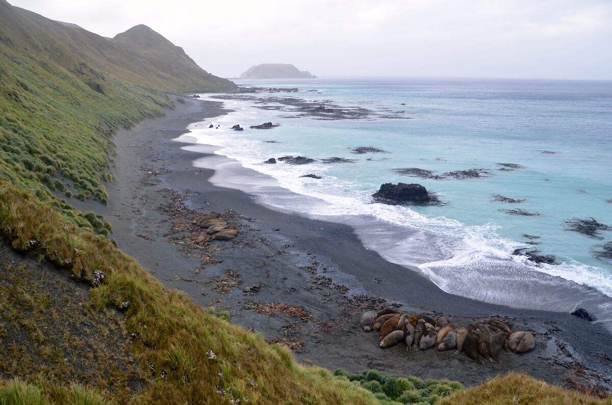
Once we reached Emerald Lake, it was around one kilometer downhill to Bauer Bay. As we dropped down the slope, the mist and fog cleared so we had a great view of the bay and Mawson Point. We dropped onto the sandy beach, crossing the outlet of Regina Creek and then it was a short walk up to the hut.
Everyone was thankful after changing out of wet clothes and boots and comfortable with the heater going and a second cup of tea. Needless to say we all slept soundly.
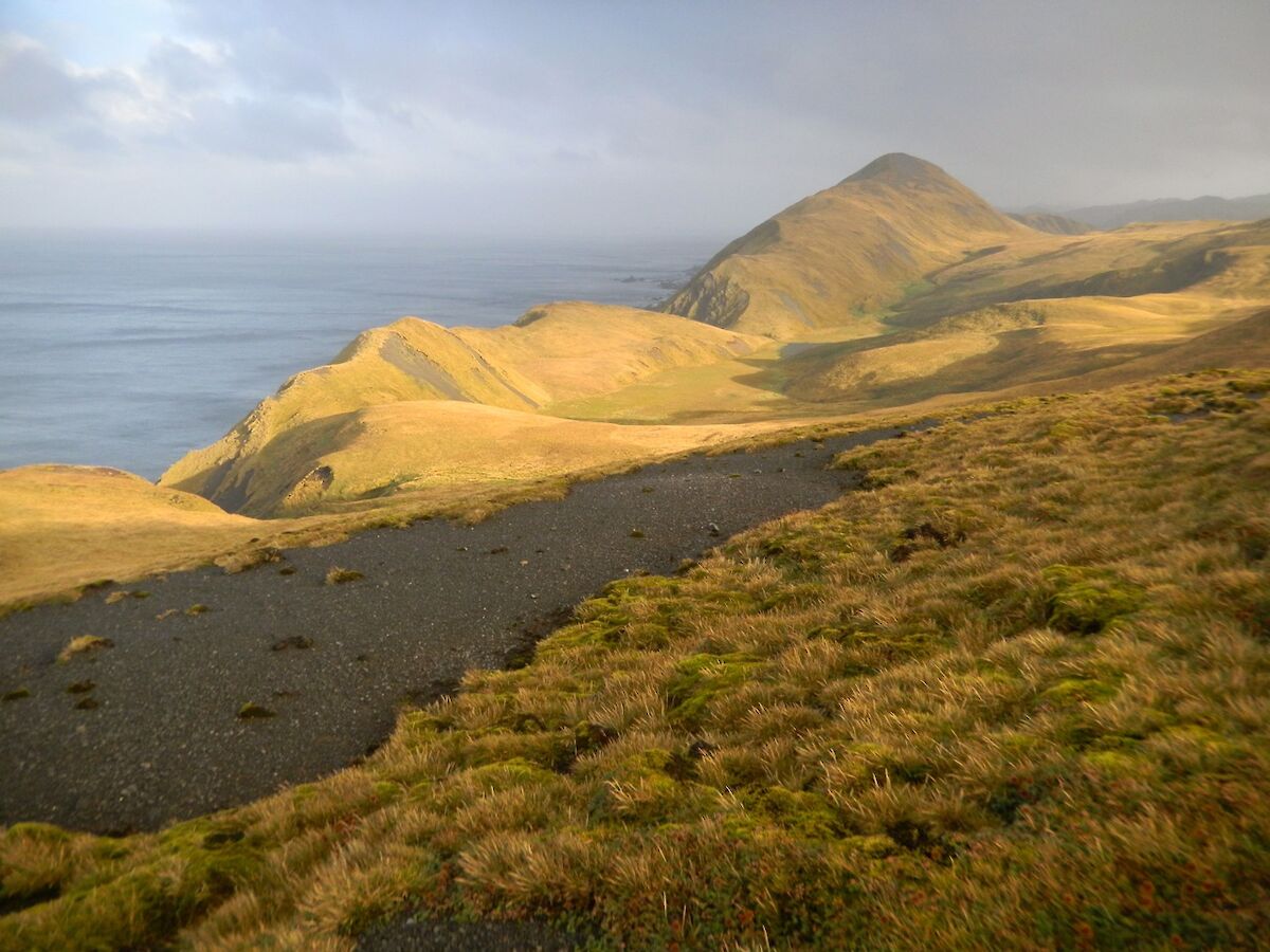
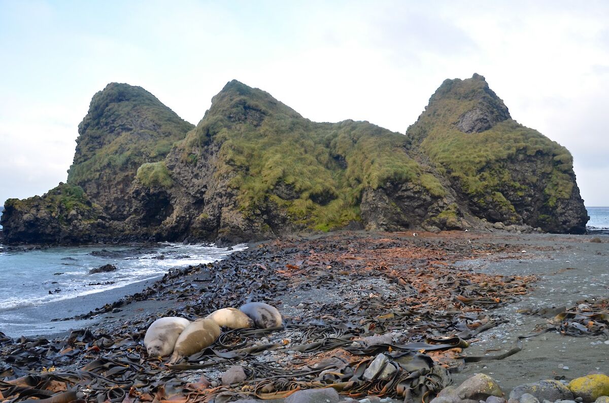
Thursday (day 2) — The day was a bit brighter, though only marginally lighter winds. We made our way southwest through a maze of rock stacks (the Labyrinth) covered with many shades of green vegetation. What a spectacular place to walk and soon we were onto the featherbed. This is like walking on a spongy waterbed.
We eventually came to Flat Creek where, in the creek bed, there were many royal penguins. We then travelled east and made our first West coast jump up, just south of Flat Creek gully. Upon reaching the top we were once again almost blown off our feet by the ferocious winds.
The next few hours were spent trudging parallel to he wide creek bed, which was extremely boggy. The gusty wind, frequent hail and snow showers was not ideal. On a few occasions some of us were up to our knees in the treacle like muddy bog.
After passing by Little Prion Lake we finally hooked up with the OLT. After a small rise we encountered a magnificent view south towards Green Gorge. We then went down the Brothers track, arriving at the hut just before 5 pm.
We had a pleasant evening in the warm hut and good company, though the hut was constantly buffeted by the wind and pelted by the hail. We had a great meal of Pizza, which Tony had prepared.
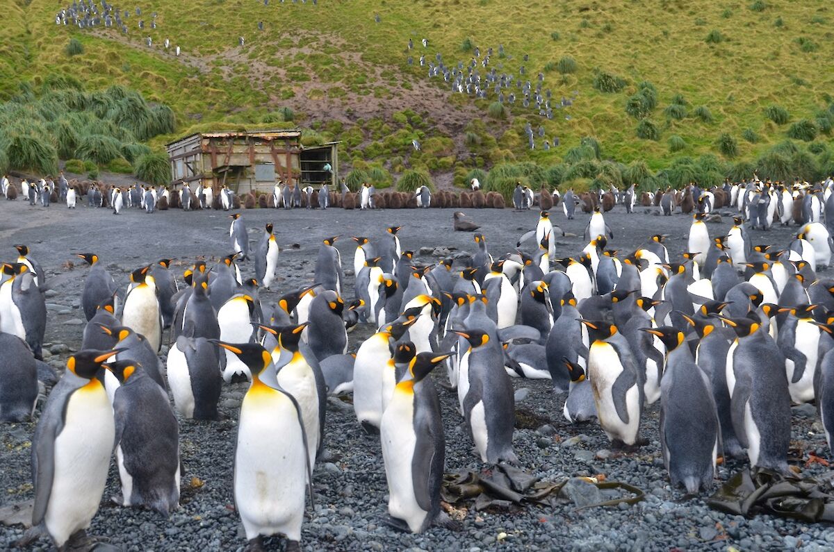
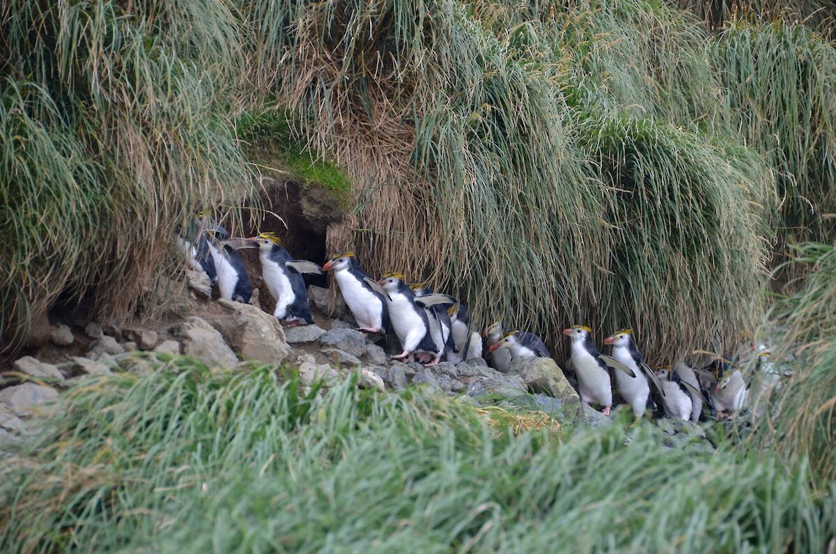
Friday (day 3) — The plan for the day was to walk along the east coast back to station. After a pleasant stroll along Sandy Bay we came to a large king penguin colony at the northern end of the bay. Above this colony, in the foothills is another large colony, of royal penguins. Most of the royal penguins have already left after the summer breeding.
The coast north of Sandy Bay consists of smaller pebble beaches separated by numerous rocky and tussock covered points, with Tussock Point a more substantial obstacle which we had to climb over.
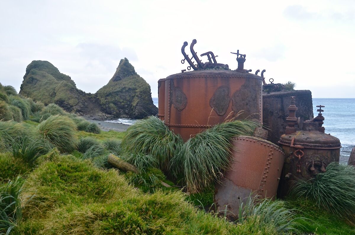
At Nuggets Point is a historical site, where we saw the rusty remains of several digesters. Also there were many pieces of timber, being the remnants of a long abandoned community that was part of the penguin harvest industry of the late 19th and early 20th century. At the northern end of the site is the graves of Charles Anderson and Otto Bauer.
Marty pointed out some of the royal penguin breeding grounds high up the Nuggets Creek gully. We could see some penguins high up the distant slopes, over 200 metres up in elevation.
To safely cross Nuggets Point, we had to travel up through the tussock alongside the creek and then cross the ridge down to the beach north of the point. The rest of the walk north was mostly over pebbled beaches and across rocky slopes that came down to the water line.
The final part of the walk brought us down the beach, passing Gadgets Gully, arriving back at station in the late afternoon.
All up we covered 27.5km over the three days and were privileged to see some amazing wildlife and scenery and witness the wild weather experienced at these latitudes (the furious fifties).
Thanks to Marty. Written by Barend (Barry) Becker