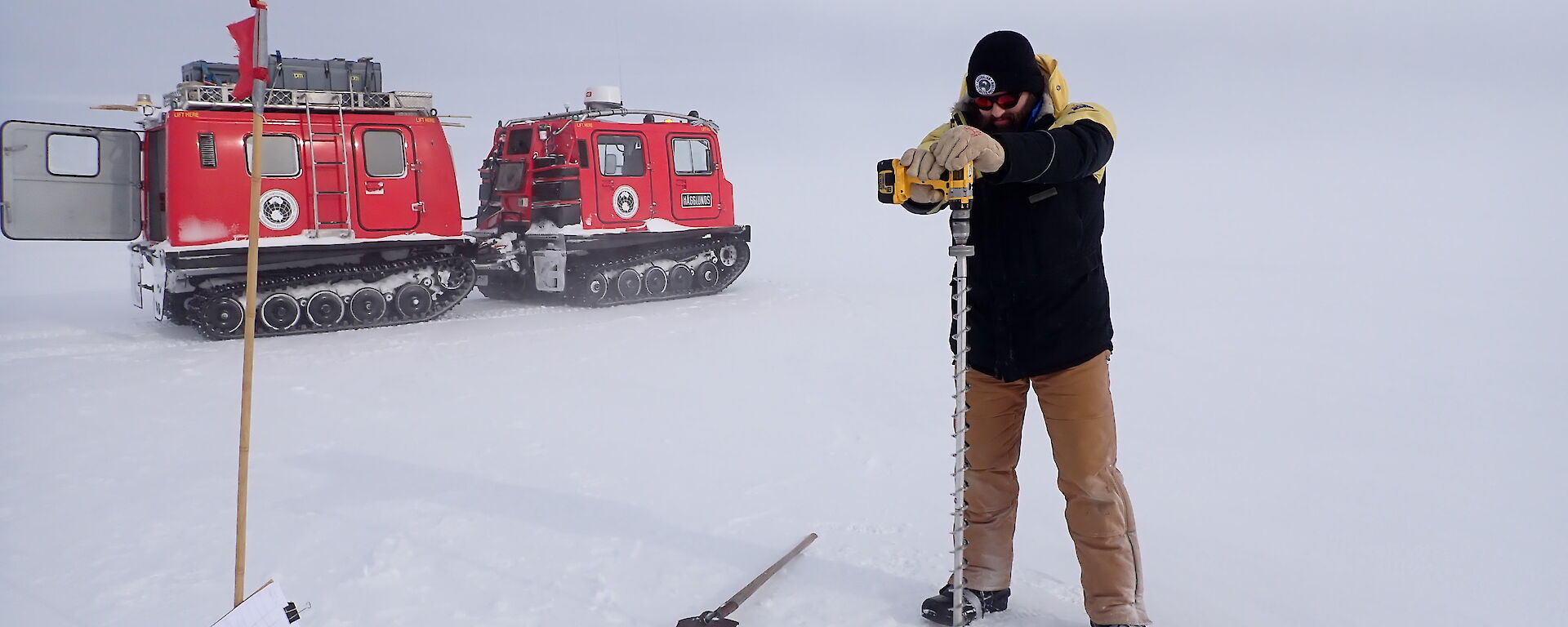

Sea ice drilling
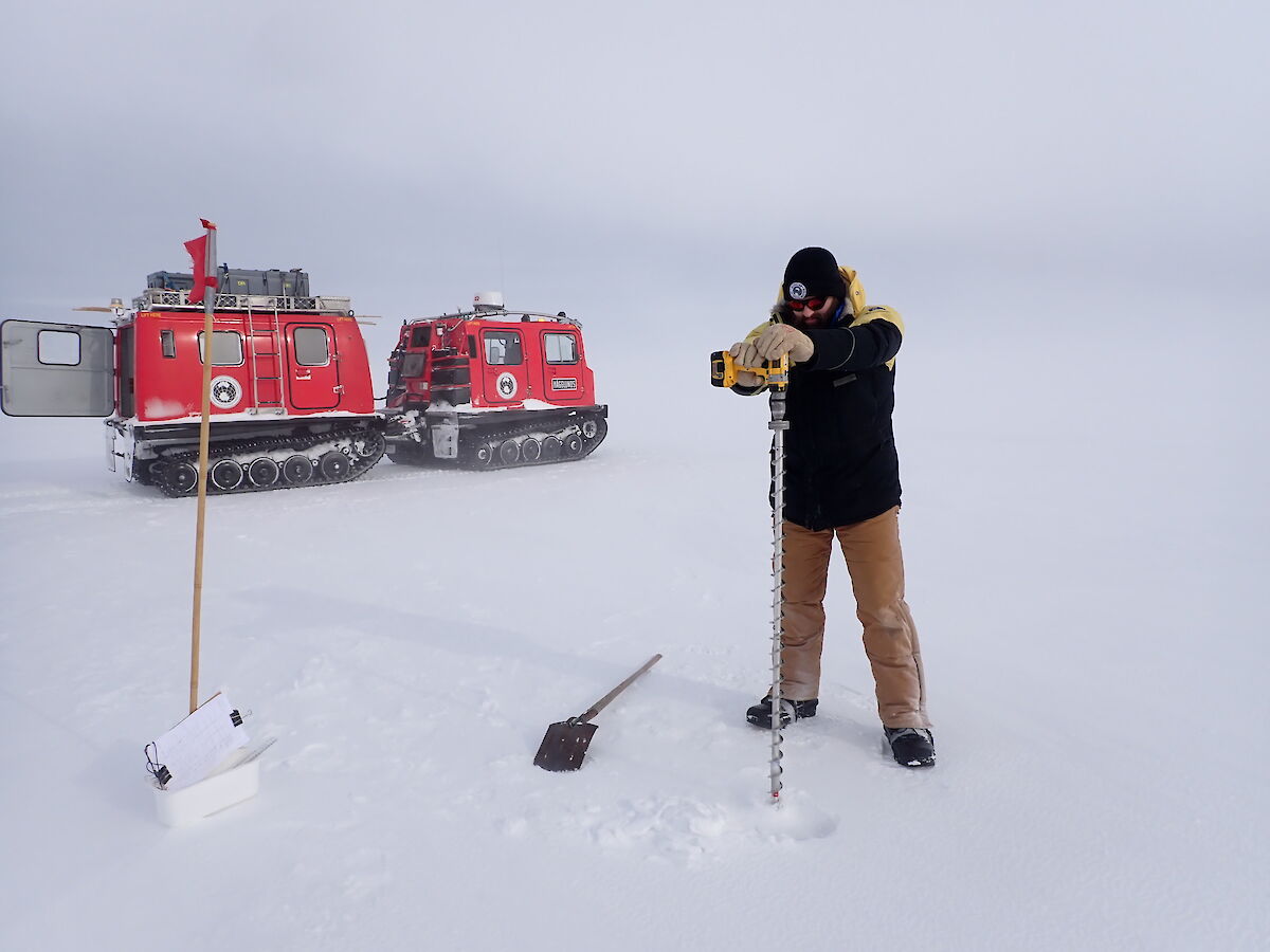
Once the sea ice around Davis station is strong enough to travel on, it is drilled once a week to measure its thickness so we can get an idea of how quickly it’s growing. This has been done on and off since 1957, but weekly (with the data being collected for scientific records) since 1999. This is done at seven points in front of station from a few hundred metres to about 5.5km from shore. It’s done at the same seven points every year so the growth can be compared year to year. It’s a good chance for expeditioners to get off station so there hasn’t been too many problems finding volunteers to come along, although there do seem to be more when the weather is good.
Apart from the thickness, we also measure how high the top is floating above the water level and the amount of snow on top of it. At the moment we have good strong ice about 1.5 to 1.6 metres thick.
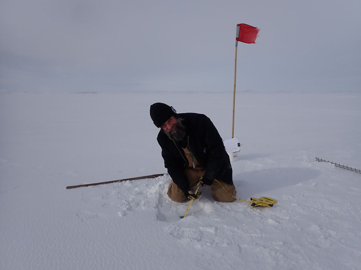
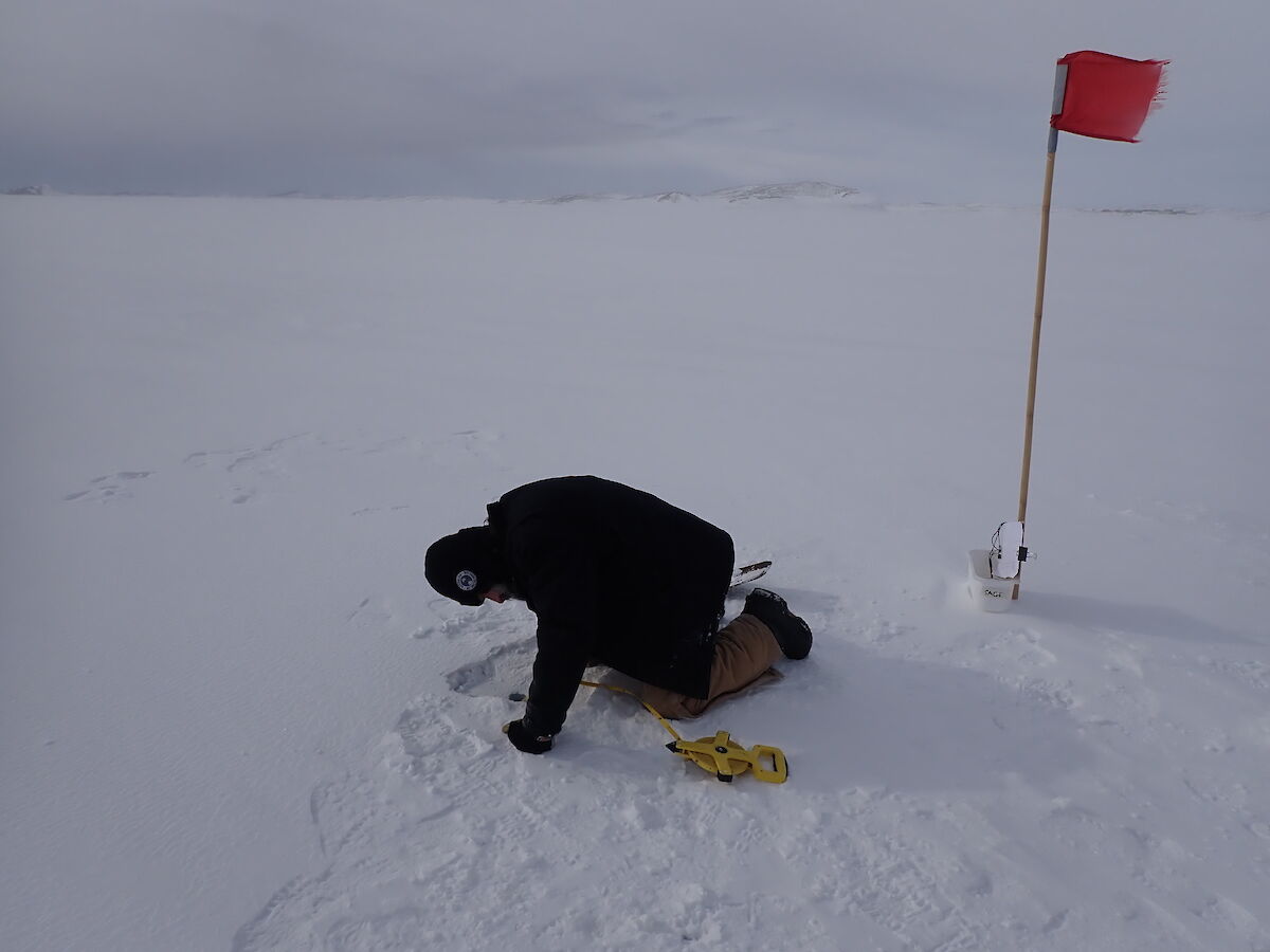
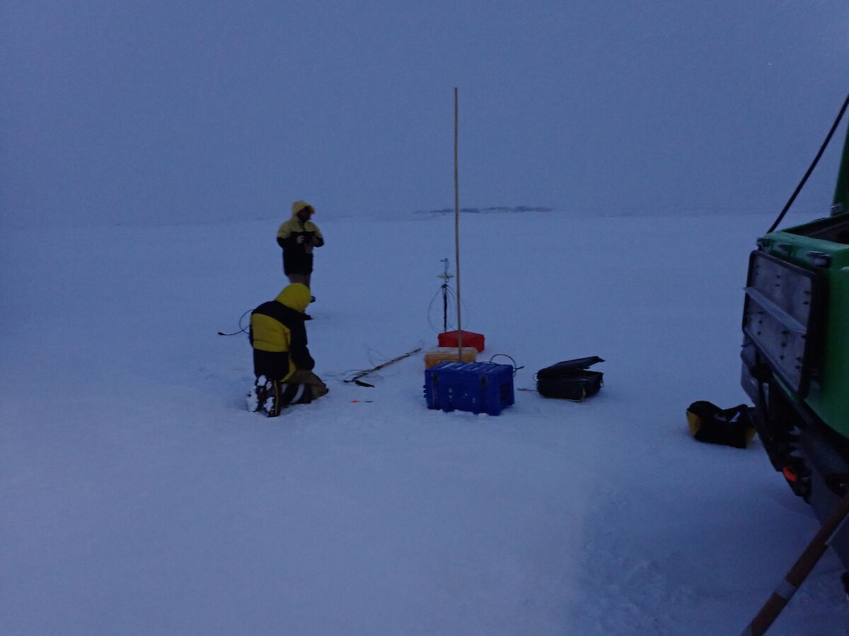
When the ice was about 700mm thick we also froze in instruments that continuously measure the temperature at different depths and the stress in the ice as it moves and cracks with the tides and wind.
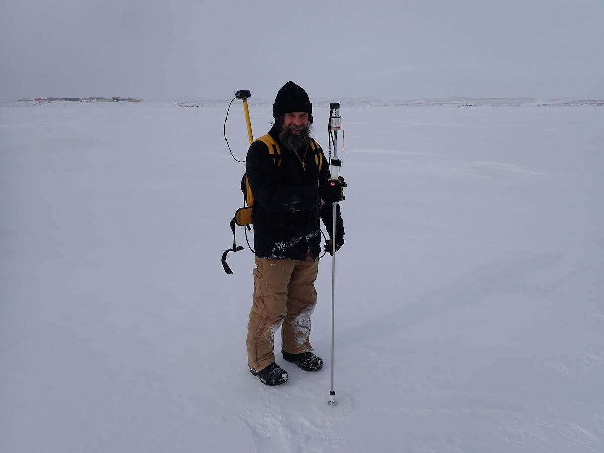
Once a month a profile of snow depth in a 10m x 10m grid is measured with a GPS backpack and a probe that automatically records the depth of snow and location.
Ladge Kviz
Electronics Engineer