The sea ice has finally gone and the boating season at Davis has officially opened!
Many expeditioners are keen to participate in a berg cruise, but for those of us involved in the Hydrographic Surveying and Seafloor Characterisation Project, it means it is time to get to work. Our project is a collaboration between Geoscience Australia, the Royal Australian Navy and the Australian Antarctic Division (AAD) and our job is to map and characterise the seafloor.
We use a variety of equipment, including multibeam echosounders, sediment grabs, corers, sub-bottom profilers and underwater cameras. The information we collect is vital for safe navigation in Antarctic waters and to support a range of scientific, environmental management and operational activities.
The project team arrived at Davis in mid–December and have been eagerly checking the sea ice conditions every day in the hope that it would quickly disperse so we could begin work. It finally broke out just after New Year’s Day, but before we could actually begin surveying we had a few things to complete.
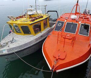
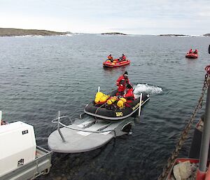
First, we had to test getting the boats in and out of the water. We have two workboats this season: the Navy’s Antarctic Survey Vessel (ASV) Wyatt Earp, and the AAD’s workboat Howard Burton.
Our first attempt at launching the boats was made a little difficult by a juvenile emperor penguin who decided to stand in the middle of the road as the boats were being towed from the station down to the wharf. Having lost the Mexican standoff with the penguin we decided to take an alternative road and finally made it to the wharf, only to discover that the boat trailers and the ramp were not going to work harmoniously. So, after much to-ing and fro-ing, we are now launching the boats using the crane. A big shout-out to Ed and Dors, the plant operators who have been incredibly patient and supportive.
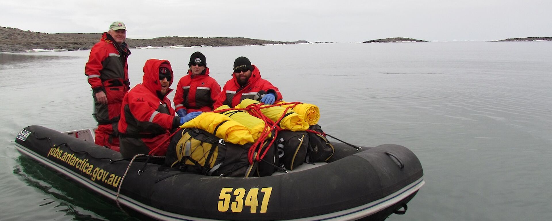
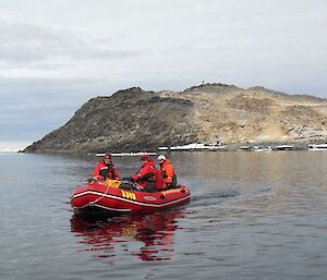
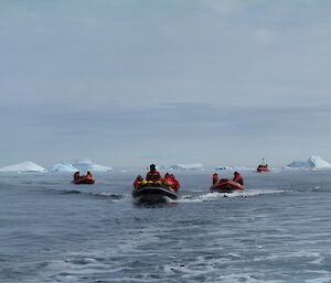
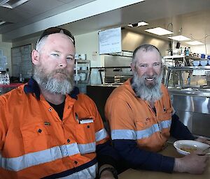
Before we could start surveying, we also had to make sure that all the boating crew on station were familiar with procedures and the local navigational hazards. The boating crew consisted of the project team plus qualified coxswains, FTOs and competent crew in three inflatable boats.
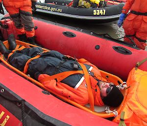
For safety reasons, it is important that there are at least two boats in the water at all times and that we have multiple redundancies for everything in case something goes wrong.
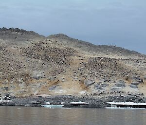
We carry several radios, satellite phones, EPIRBs, survival kits, stoves and food rations etc. We also have to be very conscious of the wildlife and maintain suitable distances so that we don’t disturb their nesting sites.
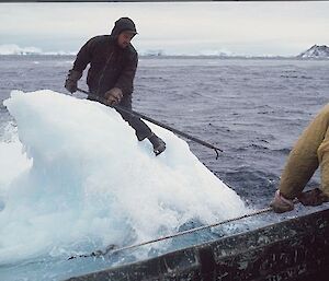
There are also a number of shoals in the vicinity so it is important to know where these are so we don’t run aground or capsize (the water temperature is approx. −1°C so we really don’t want to fall in). Another hazard is icebergs, and during our boating familiarisation exercise we were fortunate enough to see an iceberg split in two and roll over with many experienced Antarctic expeditioners unsure if the loud shriek was from the berg or our intrepid boat leader Pete. It was spectacular and a timely reminder of why we need to maintain safe distances from the icebergs as there were no warning signs!
So now we are ready to begin the survey. Keep an eye out for our next update where we will hopefully have some spectacular images of the seafloor environment around Davis station.
Jodie

