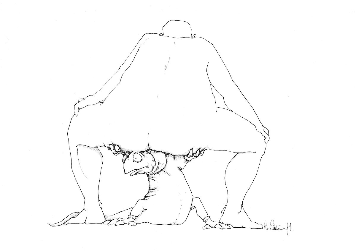
This week, Nick has supplied us with another of his original cryptic cartoons. Hopefully, you can work out the answer.
The answer to Nick’s last cryptic cartoon was ‘fast ice'.


This week, Nick has supplied us with another of his original cryptic cartoons. Hopefully, you can work out the answer.
The answer to Nick’s last cryptic cartoon was ‘fast ice'.
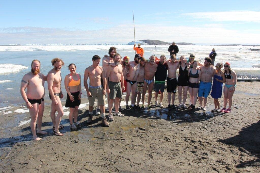
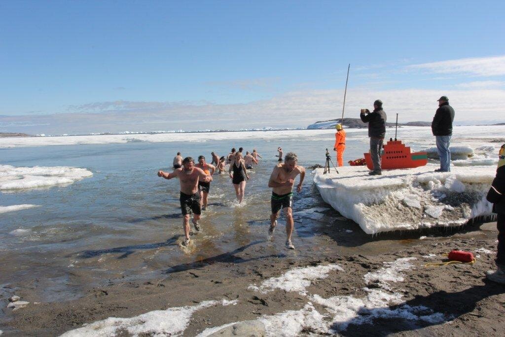
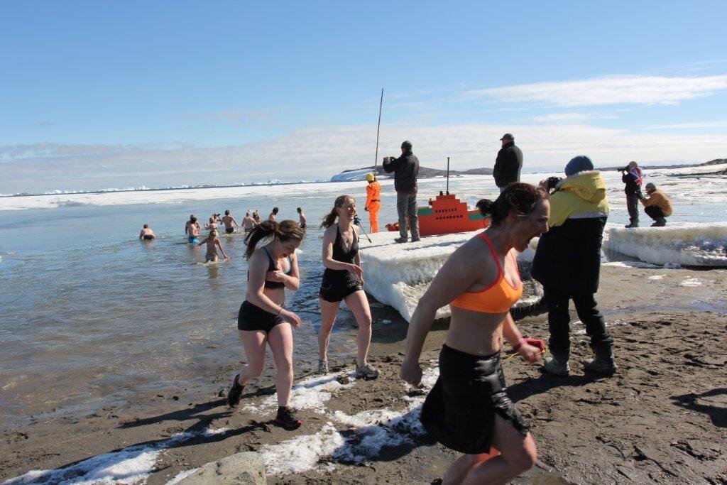
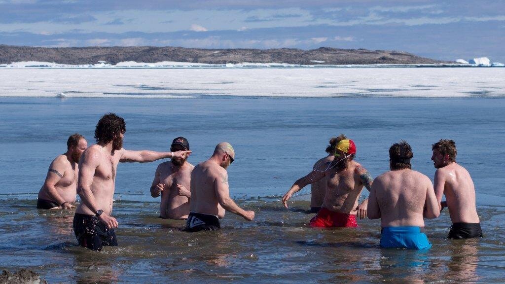
There are few days that are celebrated like Australia Day at Davis. This day — like no other — signifies home, family and friends. Davis goes to a lot of effort to make expeditioners feel like being at home and then adds some of its own Australian traditions like the summer swim.
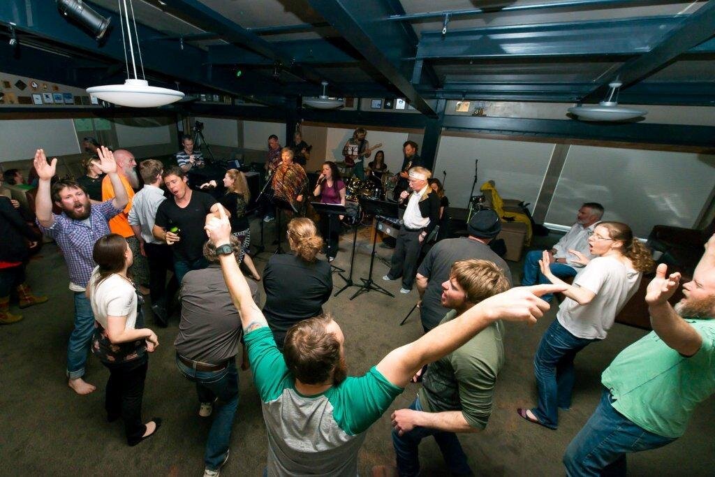
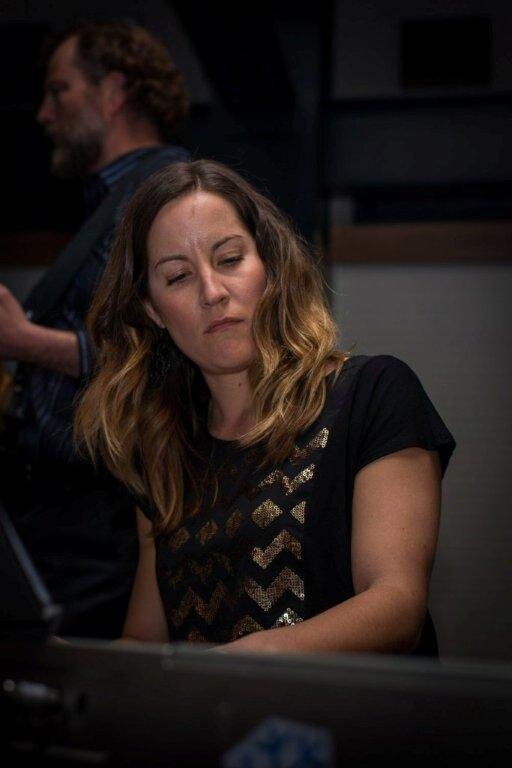
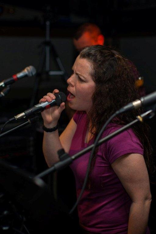
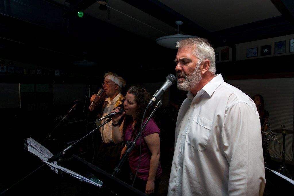
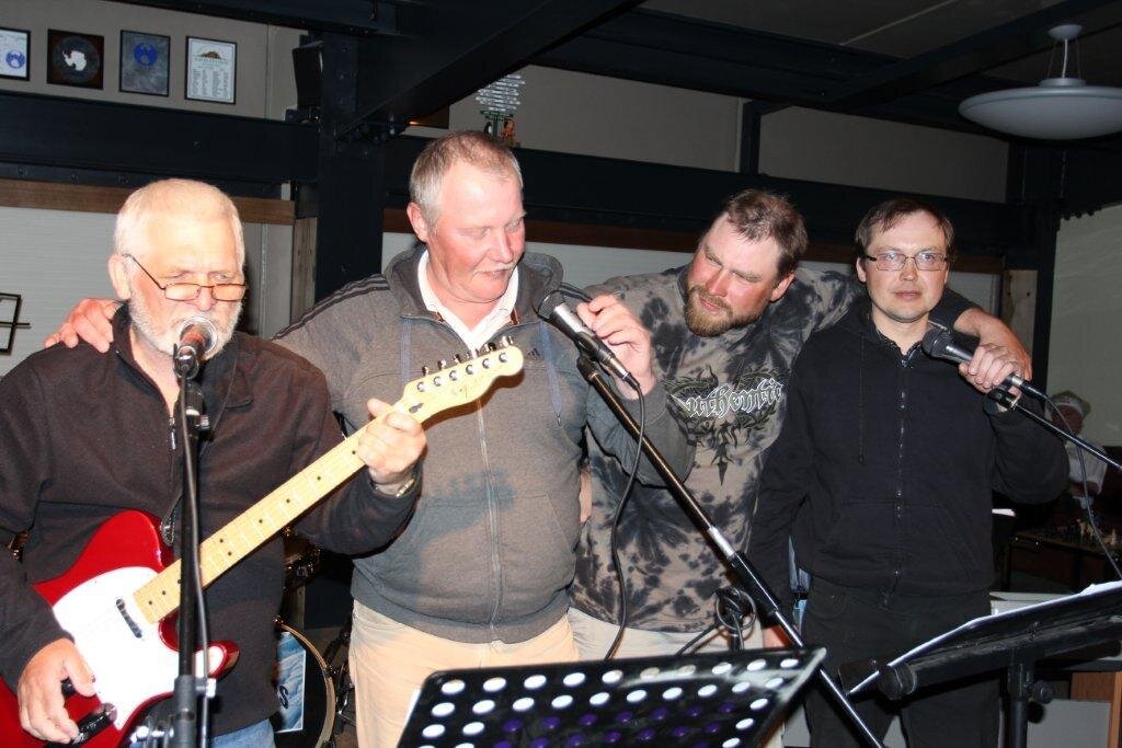
None of these Davis Australia Day festivities would be possible without the huge preparation that goes into making it all work. The Davis band ‘Blue Slots’ who absolutely mesmerized the crowd with their music on the Saturday night, had practised for weeks. They were fantastic.
It is simple to have a game of cricket in Australia but a bit more difficult here at Davis. With a bit of ingenuity and creativity the stands were built, the cricket pitch laid and the oval rolled.
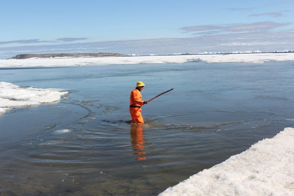
The Australia Day swim was also a bit unusual this year as overnight with the cold temperatures, the sea had refrozen and there was at least a half inch of grease ice on the surface. This meant sending in the ‘life guard’ to crack the ice prior to the swimmer taking to the water. It just added to the excitement.
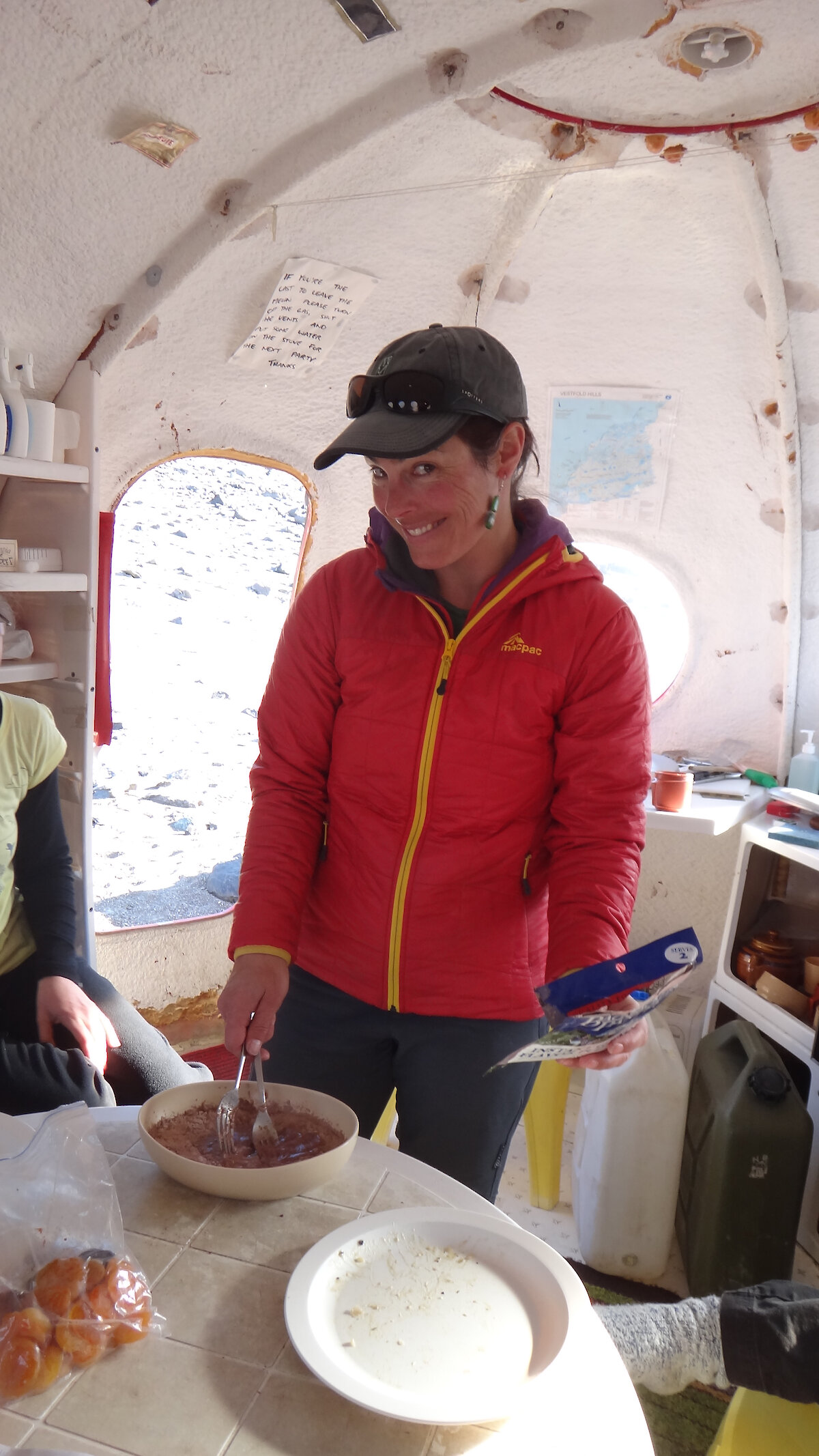
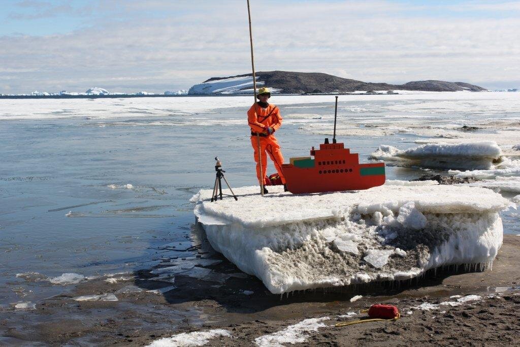
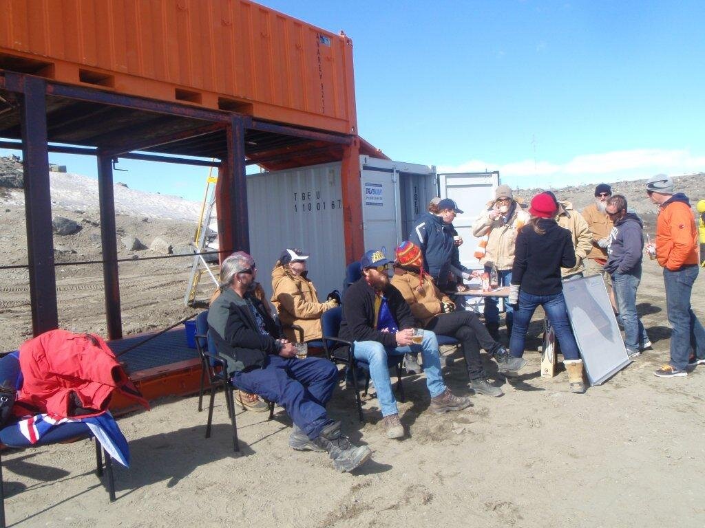
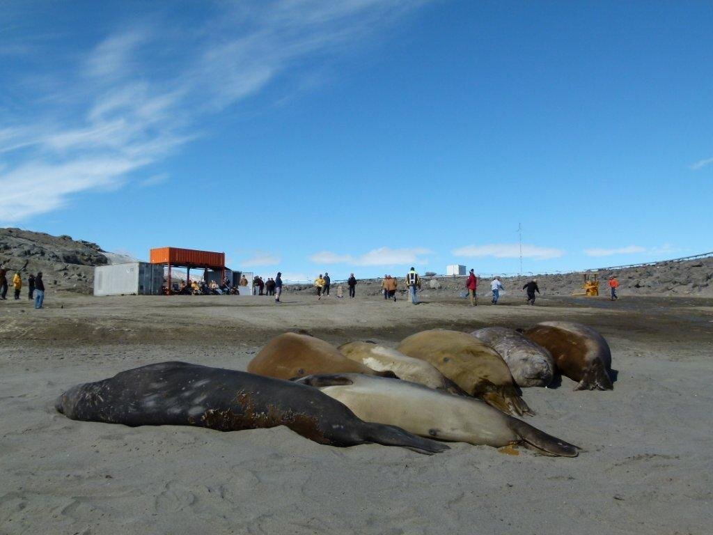
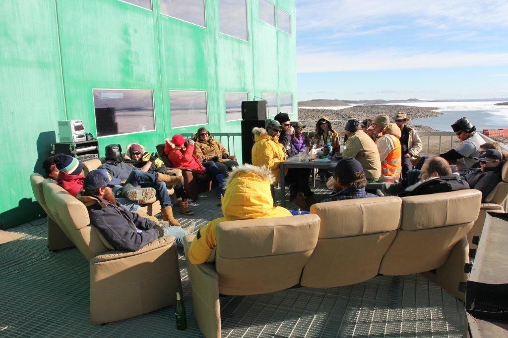
Although it was cold, we had brilliant sunshine and what better way to finish off Australia day than a spit roast and a few beers while sitting outside in the sun with your mates. This year Russian expeditioners flew over to help us enjoy our national day. I think I will let the photos tell the story of Australia Day at Davis.
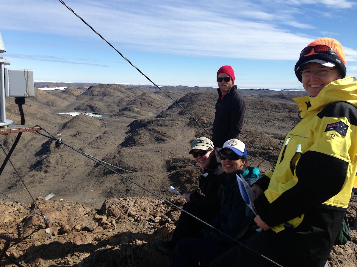
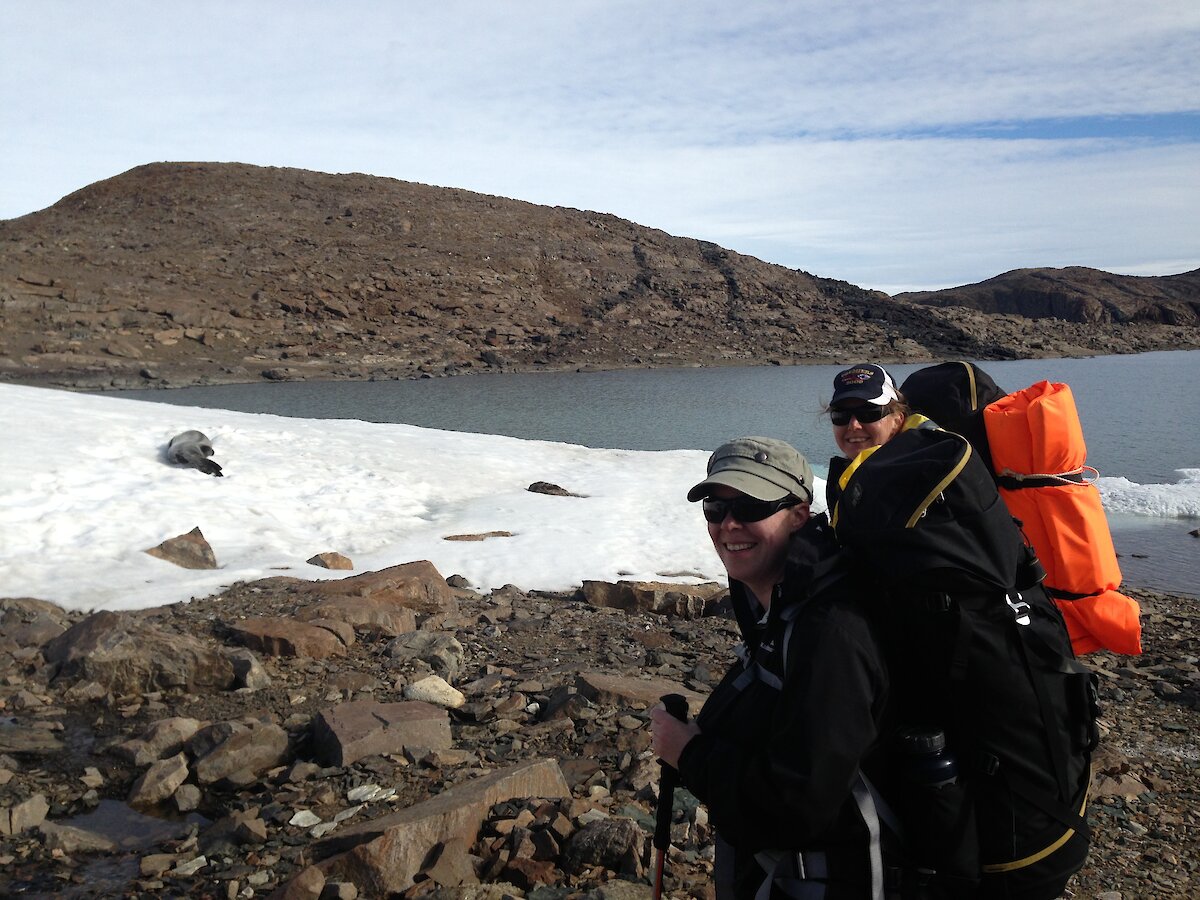
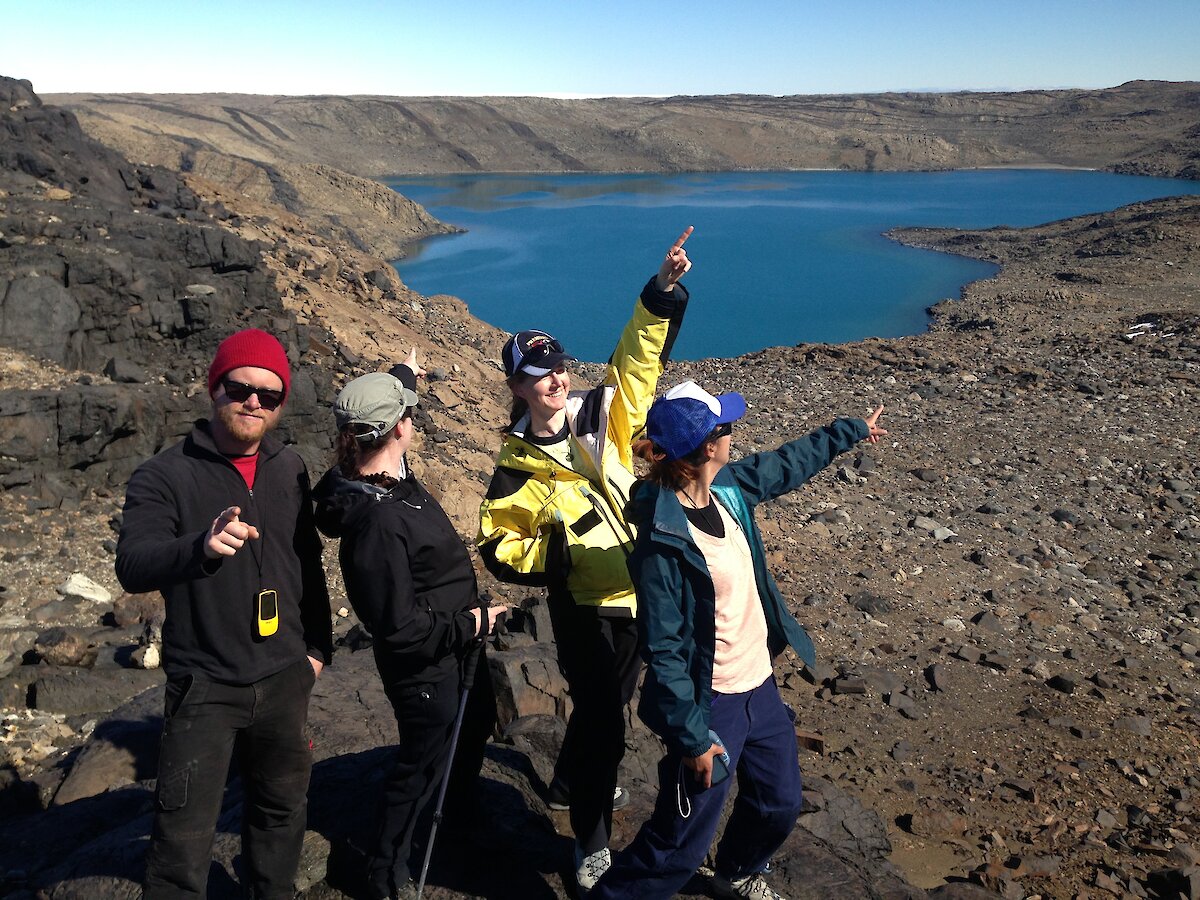
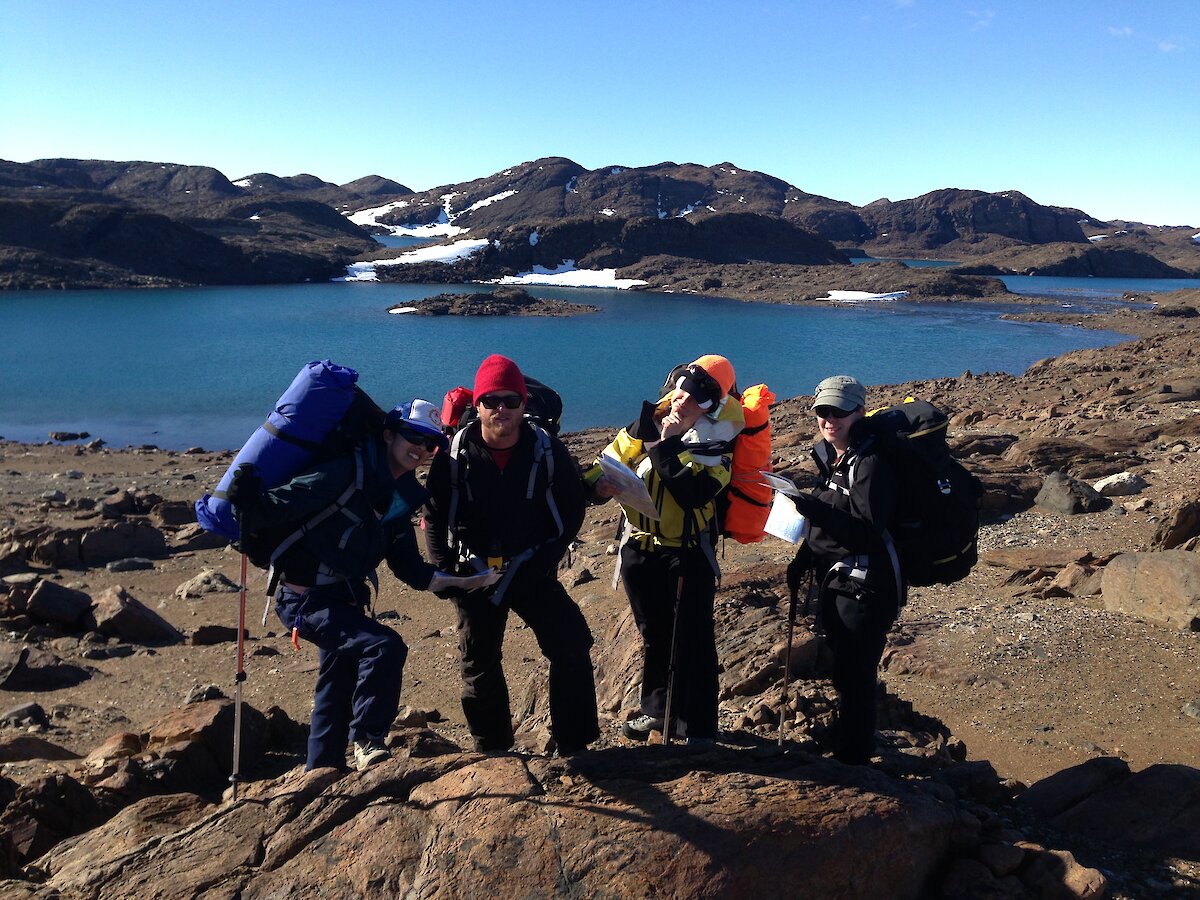
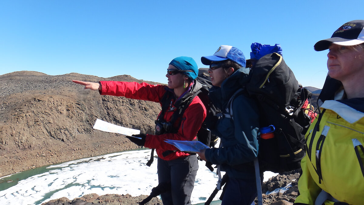
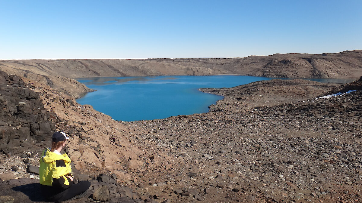
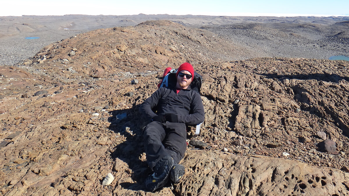
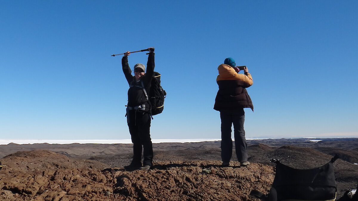
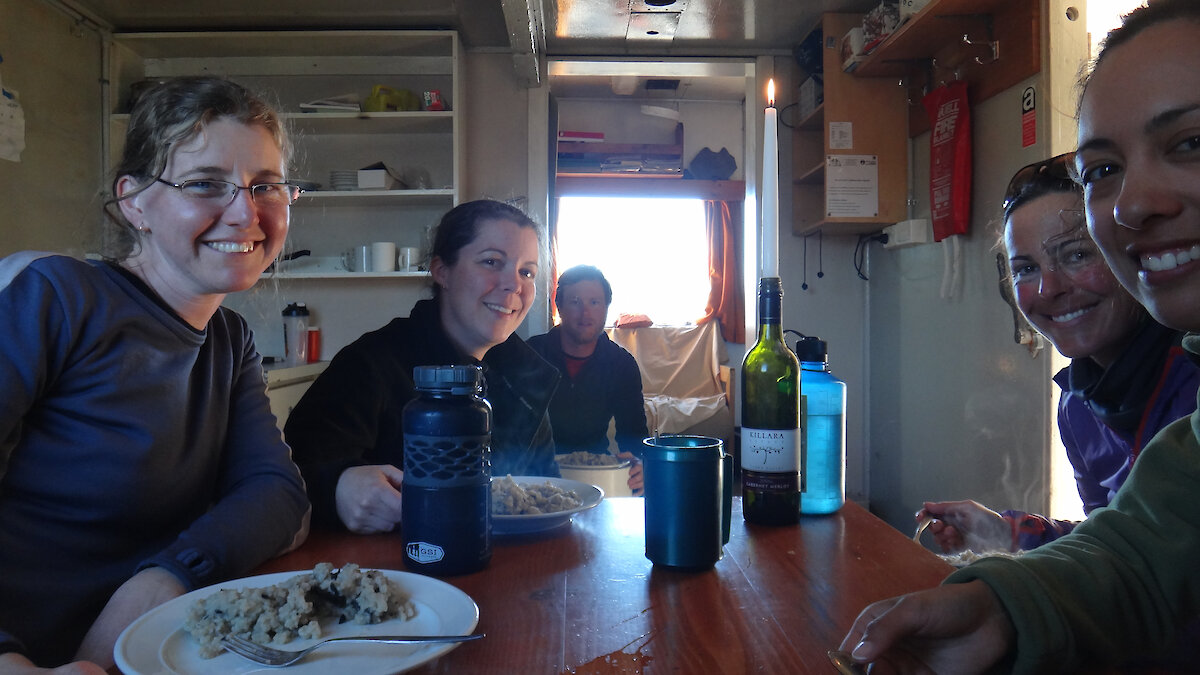
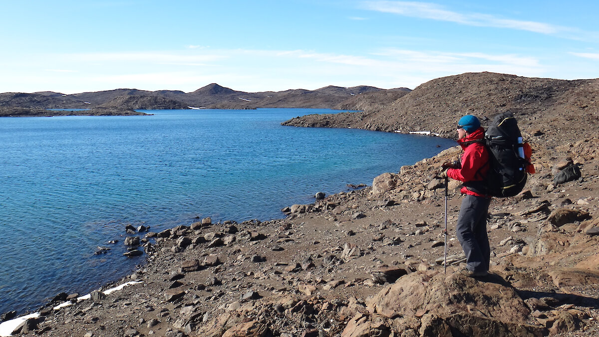
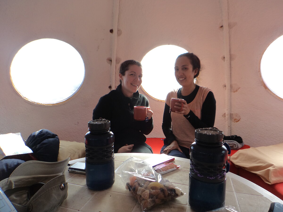
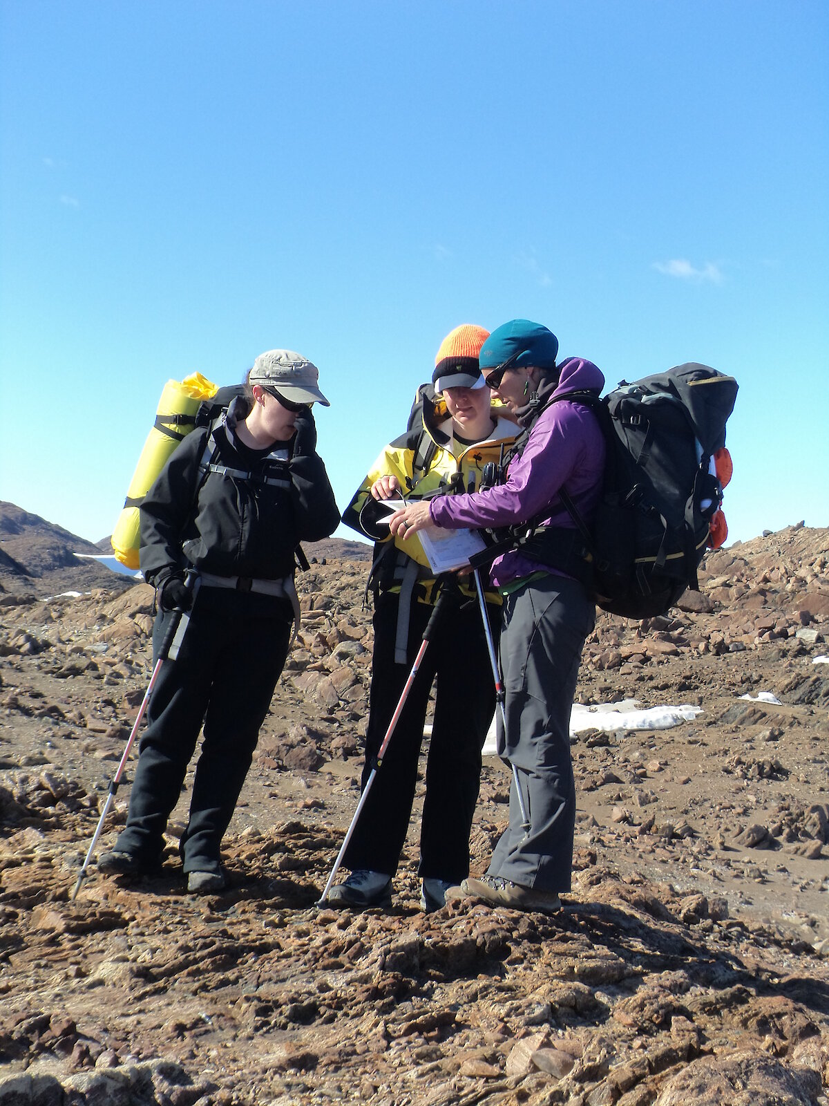
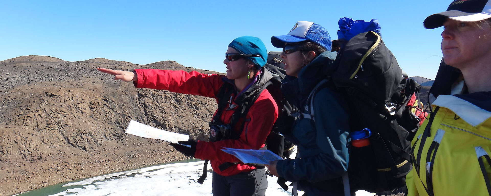
This week I was fortunate enough to be part of a group of expeditioners that got to spend four days hiking through the Vestfold Hills with Billy, one of our field training officers, to complete a travel training course. This would give us the skills required to work toward becoming a trip leader so we are able to take other expeditioners on walks through our magnificent backyard. On our first day we walked from Davis to Watts hut, located in the southern region of the Vestfold Hills. Along the way we learnt how to read our maps, take direction bearings using our compass and how to use the local geography, such as hills and lakes, to identify our position on the map. One of the highlights of the day was climbing Tarbuck Crag, one of the higher hills in the Vestfolds (at 143 m), and getting an amazing 360 degree view of the area, from the plateau to the sea.
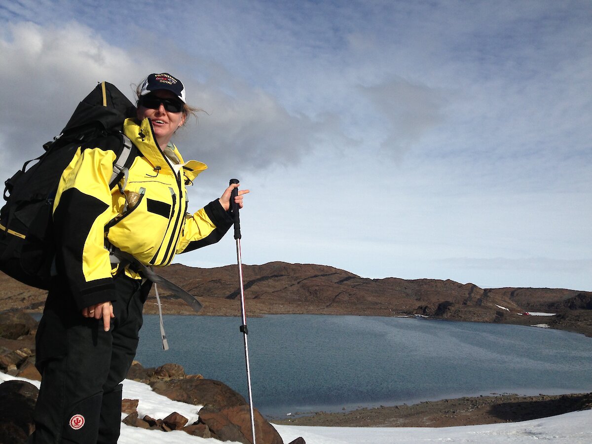
Our second day took us southwest down to the Mule Peninsula, where we learned how to use our GPS to find our position on our maps and how to navigate using waypoints. We found a high point that gave us a great view of Ellis Fjord, the Sørsdal Glacier and the giant 2.36 km long iceberg that broke off the Sørsdal around Christmas last year. On our return to our overnight refuge at Marine Plain, we were instructed on the steps to take if a member of our party was injured and how to ensure that they were kept warm and comfortable while we waited for help to arrive. On day three we walked back to Watts hut, climbing some of the high points along the way to enjoy the views. After lunch at the hut we decided to go for a walk to see some of the lakes to the south of Watts Hut and climb a few more peaks. We all took turns testing our navigation skills and were given a tutorial on how to use our satellite phone as an alternative means of communication in an emergency. After a great nights sleep at Watts Hut we packed our bags one last time and walked back to Davis, being sure to take a different path to our walk in to make things interesting. In total we walked 55 km over the four days and everyone in our party was in good health and great spirits when we arrived home.