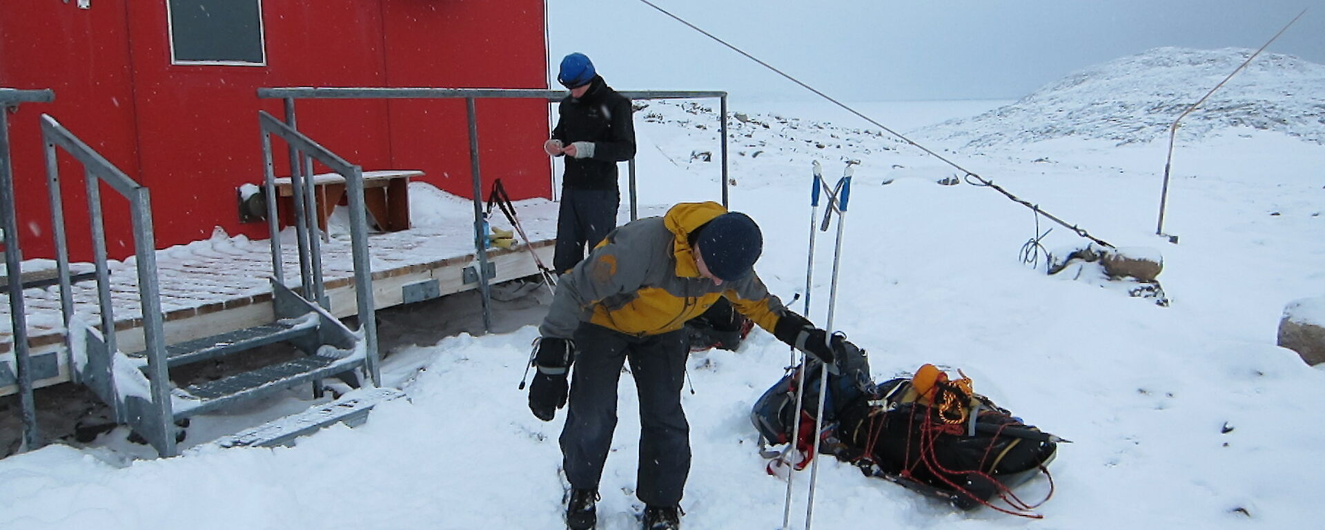
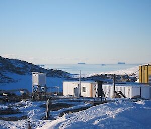
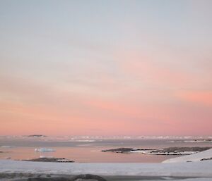
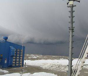
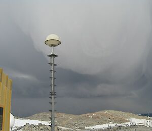
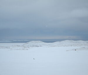
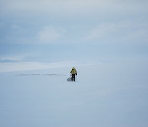
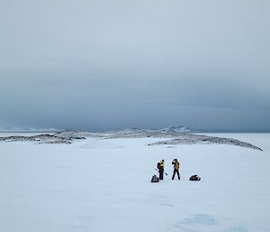
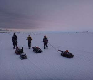
Blizzards and record low temperatures make for interesting days at Casey while four expeditioners brave the outdoors, hauling sleds to Robbo’s Hut.
Blizzards and plummeting temperatures ahead – NICE!
Well, the long Casey summer of weather records has come to an end and winter is fast approaching. In fact, looking at some of the records we have set you might think winter set in quite a while ago. During January we set new records for lowest maximum and minimum temperatures with −2.9 and −10.3 degrees respectively. In February we again shivered with a record low temperature of −18.0 degrees. March was the month for blizzards. Usually we average two blizzards in March but this year we got to enjoy five. It was a ‘summer’ that certainly helped us acclimatise for the winter ahead.
The real story of summer though was the December 18 thunderstorm. It was an extremely rare event that excited both the weather enthusiasts on station and the climatologists in both Australia and the U.S.A.. When you consider Antarctica is the coldest and driest continent and thunderstorms require heat, moisture and uplift, its no surprise that it created such a stir. For good measure it also gave us a record December wind gust of 109 knots, the equivalent of a category 3 cyclone!
So what can we expect over the coming months? Well, more blizzards, snow, wind and dropping temperatures. May is statistically our coldest month with an average maximum of −11.2 and minimum of −18.6 degrees. The coldest temperature recorded at the current site is −37.5 degrees in August 2005 but if summer is anything to go by I think we can beat it. June, July and August are our windiest months and we can expect around one blizzard every five days during this period. For the weather observers on station this means many hours of fun shovelling snow from in front of the balloon building!
Craig George, Senior Meteorological Observer
Sled hauling
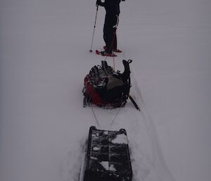
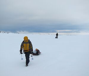
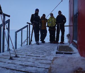
Since the Walk Across Antarctica event started (pedometer step challenge) many at Casey have been working really hard sweating it out in the gym. On the weekend Craig, Stu and Gav of ‘The New Age Huskies’ decided to live up to their name with some good old fashioned sled hauling to Robbo’s Hut. In the greatest act of sportsmanship since Gilchrist walked in the 2003 World Cup semi final, they teamed up for the trip with Misty, member of their fierce rivals ‘Team Dieso’.
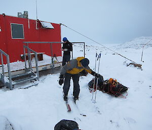
After a lazy Sunday morning getting ready, we departed station shortly after 11am. All being quite new to the sled haul game there was a variety of sled setups and a bit of tinkering going on with equipment. Gav took this to a whole new level with an estimated 18 to 24 changes each hour. He had us convinced he was writing a review on optimal sled design for an outdoor magazine. Despite this we made solid progress across the Mitchell Peninsula before beginning the climb up the plateau to get around Sparkes Bay. Moderate snowfall dropped visibility to 500m and heads were kept low as we trudged up the hill to be rewarded with more spectacular views.
It was then a very pleasant descent down to Robbo’s Hut. We arrived not long before sunset and wasted no time eating whatever we could get our hands on. Gav was all tuckered out and had to head in for an afternoon power nap. After getting up for a couple of hours for dinner he then crashed again for a solid 12 hours. I don’t know whether it was the walk or the constant gear adjustments that wore him out more. A great evening was had discussing many random topics as seems the norm when in a field hut.
The following day, Misty awoke ridiculously early for some meditation before the rest of us arose at a much more civilised hour. Surprisingly none of us were sore and all pleased to find the day was calm and looking good. The climb from the hut up to the plateau (Heartbreak Hill) quickly woke us up and got us warm. Gav was enjoying the freshly groomed trail that Craig’s unique snow plough sled design was providing. Meanwhile Misty was powering ahead with her aerodynamic, and definitely most sleek, low-profile sled in tow. Stu must have been keen to hit the Casey Café because he was racing ahead and had to keep waiting for the rest of us to close the gap.
We spent the next 4.5 hours working our way back to the station, revelling in the experience of sled hauling in such an amazing environment. With military precision, we arrived at station shortly before sunset to the welcome sight of carpenter Dan’s delicious jam tarts. A session of yoga put on by Sheri topped off a perfect weekend. Whilst they were the hardest steps we’ve earned thus far, they were by far the most enjoyable.

