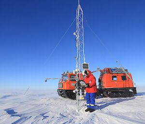
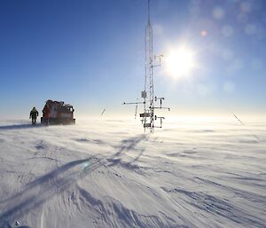
Sunday morning, April 12, saw four expeditioners (Trevor, Rob, Angus and John B) set off from Mawson at 8:30am in a Hägglunds, heading to the automatic weather station (AWS) 45 kilometres inland of the station.
The sky was blue and clear, but with the temperature below minus 20 and the wind above 30 knots we were all appreciative of the shelter and warmth provided by the vehicle we were in.
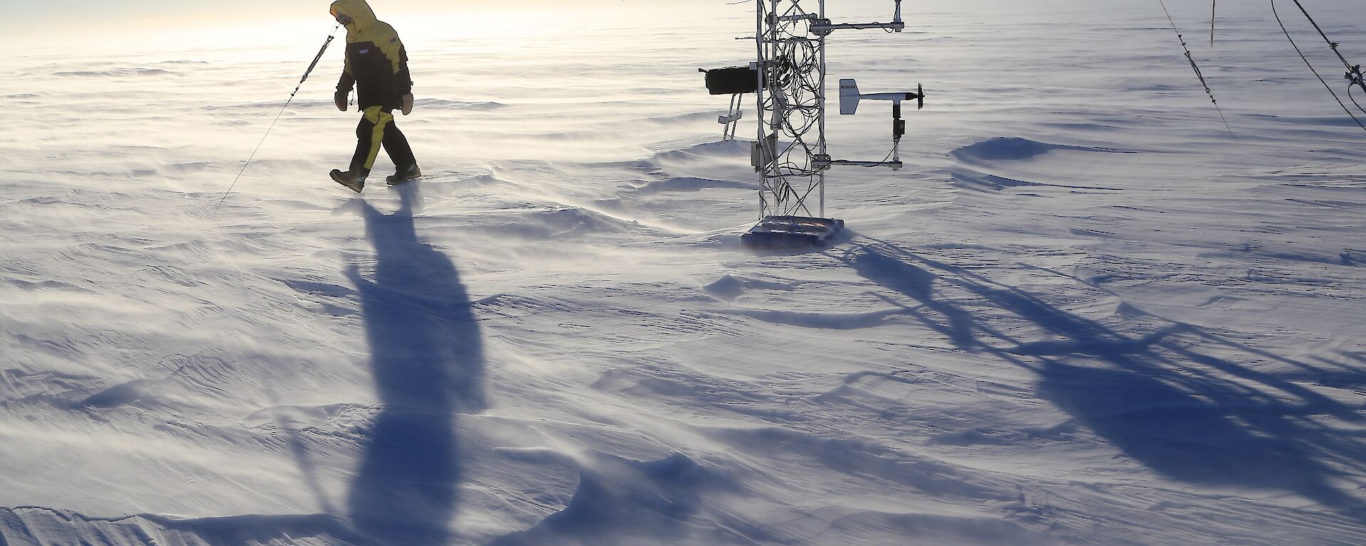
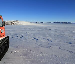
We followed the Henderson cane line almost as far as the hut, before branching off and heading into the white emptiness beyond. Using GPS we made our way across the sastrugi-covered snow for 25 kilometres, Russell Nunatak (an ice dome) the only feature in an otherwise flat, white landscape. The wind increased as we neared the AWS, creating a knee high ground drift of blowing snow.
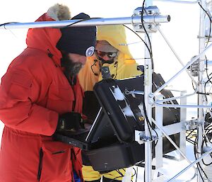
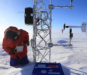
We arrived at the AWS at 11:30am, three hours after leaving Mawson, and Trevor and Angus (Comms and Met techs respectively) set to work downloading data. Half the download went well but a broken capacitor in the data recorder which records sub-surface snow temperatures (down to 12 metres) necessitated the removal of the recorder and return to Mawson for repair. At 600 metres elevation the site is much colder than Mawson and the temperature, with wind chill, was estimated to be in the minus 30s. At such temperatures, thoughts of doing precise repairs to circuit boards are quickly dismissed.
We departed the AWS at 1:00pm and, with our outward tracks to follow, made steady progress back to Mawson, arriving at 4:00pm.

