This week has been busy: conducting fieldwork on the Sørsdal Glacier, winterers undergoing quad training out on the sea ice, and our first party for the summer!
Fieldwork on the Sørsdal Glacier
As glaciologists planning a new project somewhere we haven’t been before, we can spend hours, days and months pouring over satellite imagery and, yes, over Google Earth. None of this usually prepares us for the reality on the ground, because the imagery we are looking at is generally missing something.
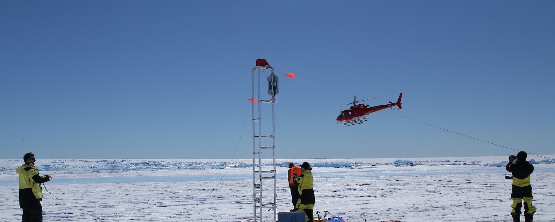
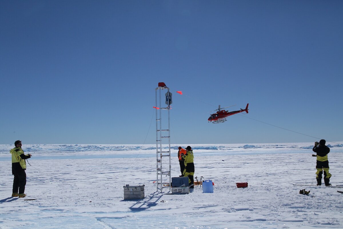
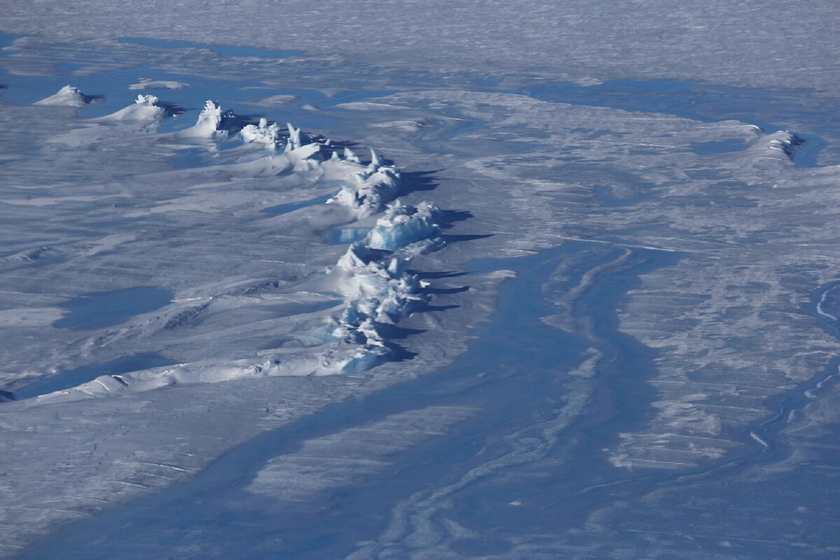
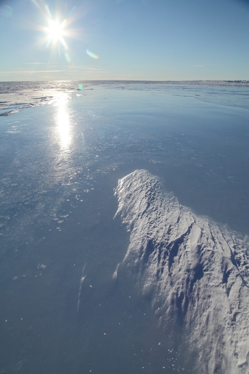
On Monday 28th November we finally took the Sørsdal Glacier project into 3D by landing at one of our field sites, a prominent surface lake on the glacier. A brief overflight earlier in the month had already prepared me for the fact that many of the features that I had assumed to be crevasses downstream of the lake, were in fact strange keels of ice poking out from the glacier surface, though seeing these strange beasts up close was still a fantastic experience and a source of anxiety — we really don’t know how these things are formed and what the Sørsdal surface lakes are actually doing.
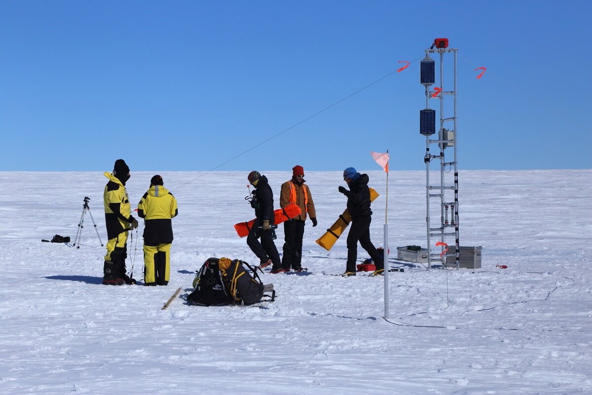
Having had Nick and Gideon — field training officers (FTOs) probe the site to ensure it was safe and suitable for us and our instruments, we were back in full force the next day: Eleri and myself from the project team, Gideon and Nick from the FTO side and Ladge and Lotter, the wintering electronics engineers and allround instrumentation gurus.
In record time — I've never worked with such a well oiled impromptu team that had so little prior induction to the setup — we put up a time lapse camera on a tower mounted in the ice and several pressure transducers.
These will monitor the evolution of the melt lake for the season, and hopefully through the winter into the 2017–18 summer. We will be looking to measure lake depth evolution and understand what causes the surface features on the lake and its “wake” — the downstream area where the flow of the ice carries the remnants of the frozen over or drained lake in winter.
Christian
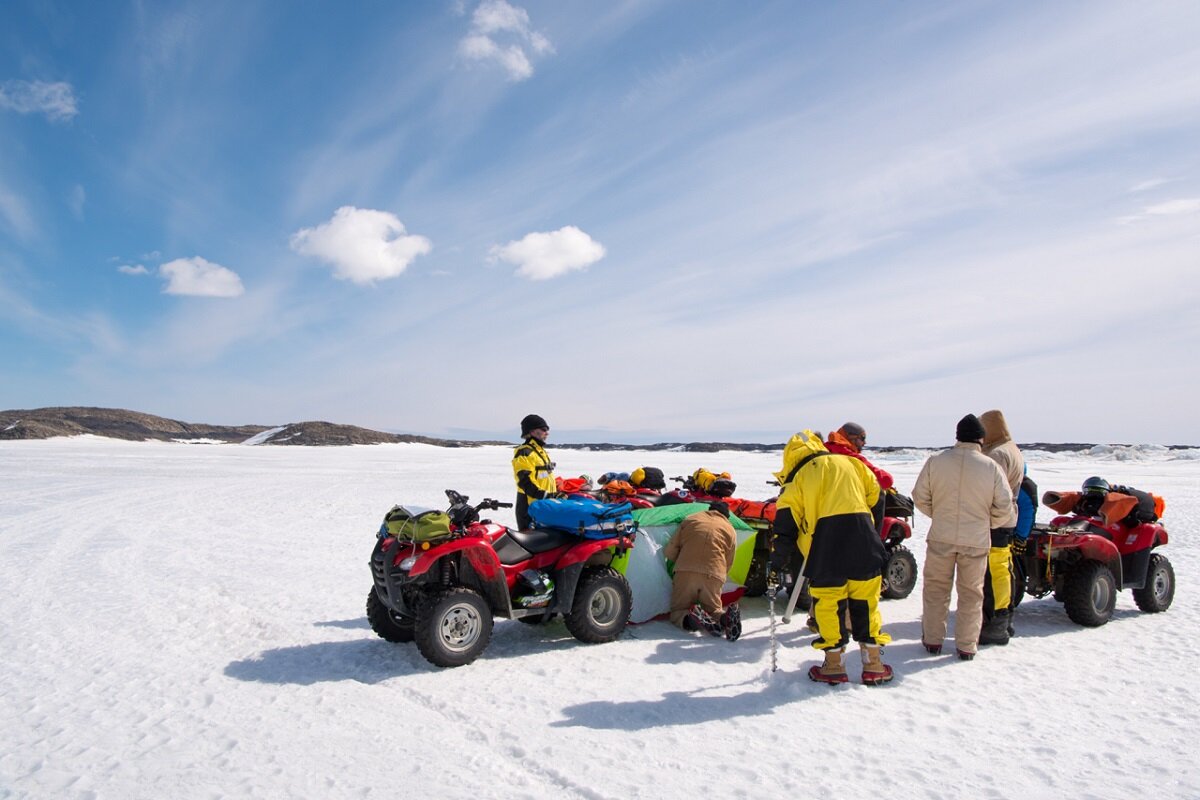
Winterers quad training on sea ice
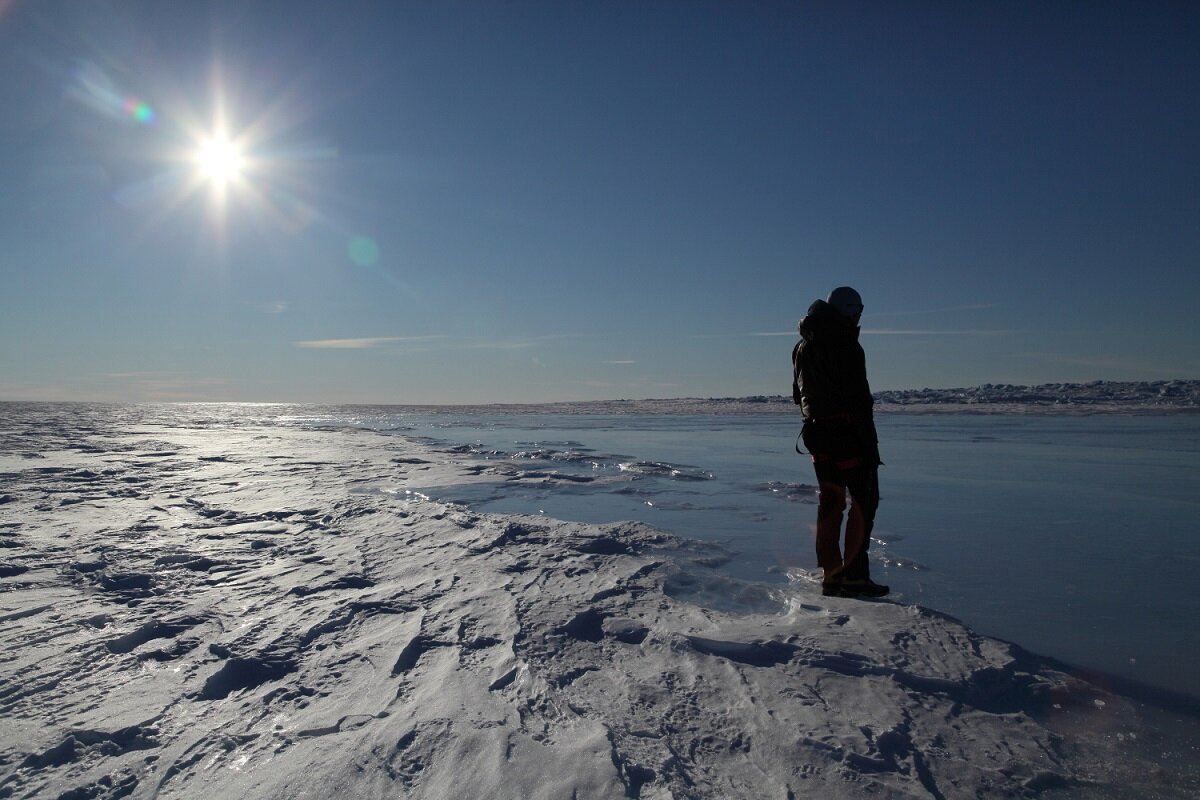
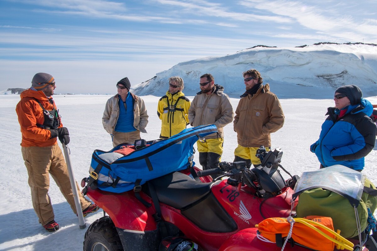
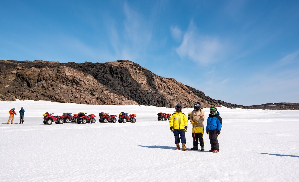
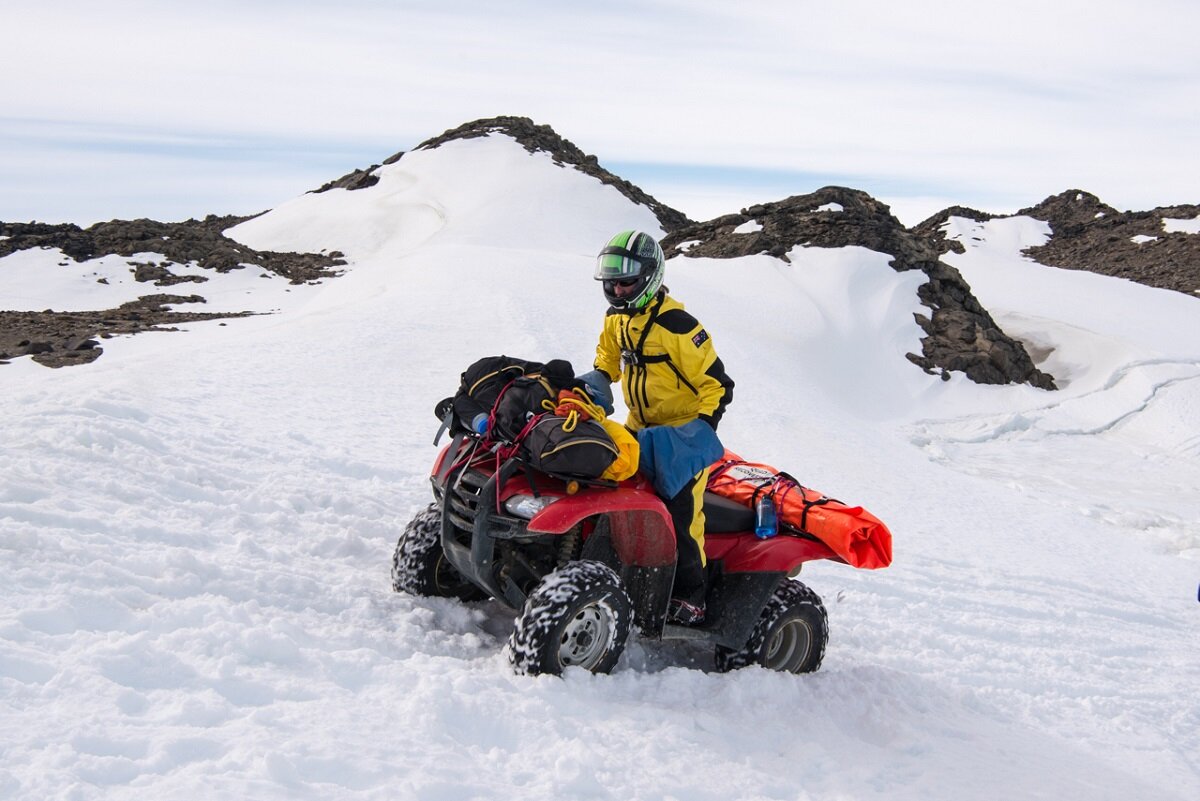
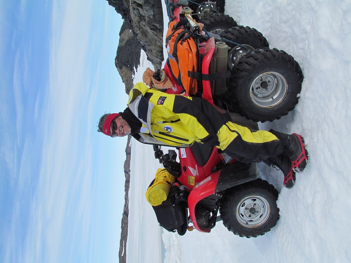
Hello world! I have now ridden a quad bike twice in my life, and thanks to the field training officers (FTOs) I am now partially travel trained.
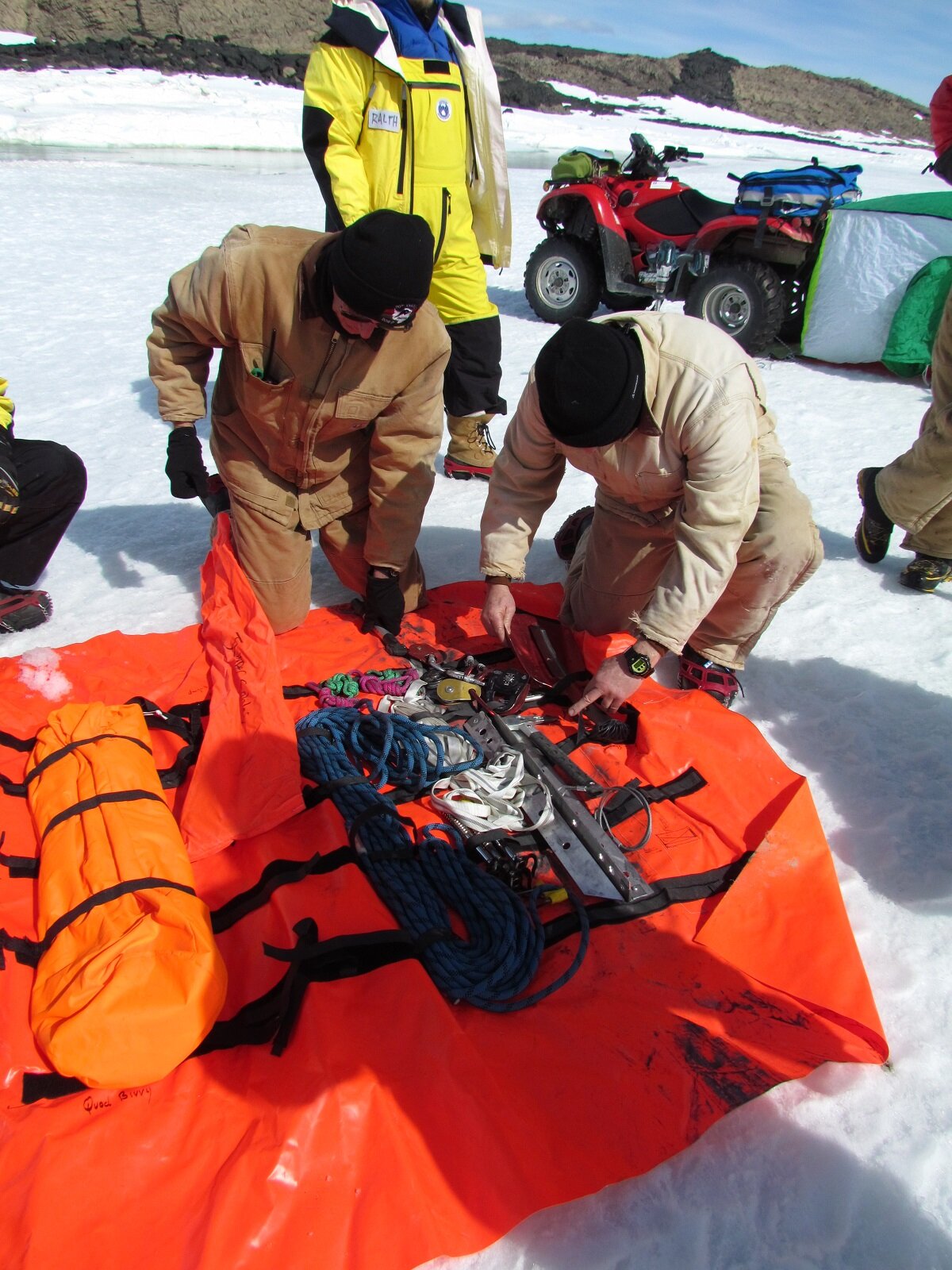
Saturday the 3rd December saw a group of nine, and I, brave the Antarctic sea ice to learn how to move about safely. It was a spectacular day, though exhausting. We spent the whole day travelling, refreshing our GPS knowledge and getting used to the environment. We covered how to identify likely areas of danger, drill sea ice to determine if it’s safe to drive on, and how to cross tide cracks.
An intense moment occurred when a radio slipped down a crack, but fervent digging, mixed with cries of, “If we don’t find it Mick will kill us”, and “I don’t want to tell Mick, you can tell Mick”, quickly saw its recovery. Another highlight was the further improvement in my Antarctic wildlife identification. I can now tell you if the seal is a boy or a girl!
The scenery was breath taking, though the building wind and cloud over the afternoon made me appreciate having a warm place to come home to.
I was really impressed by the FTOs knowledge and all the little tips and tricks they shared (Tip 1, always pack fresh coffee grounds and a plunger). Seeing how well the others used the gear underscored how much I still have to learn.
Overall it was another spectacular day, added to the list of weird and wonderful days this place has given me, and I can’t wait to get out again!
Ralph
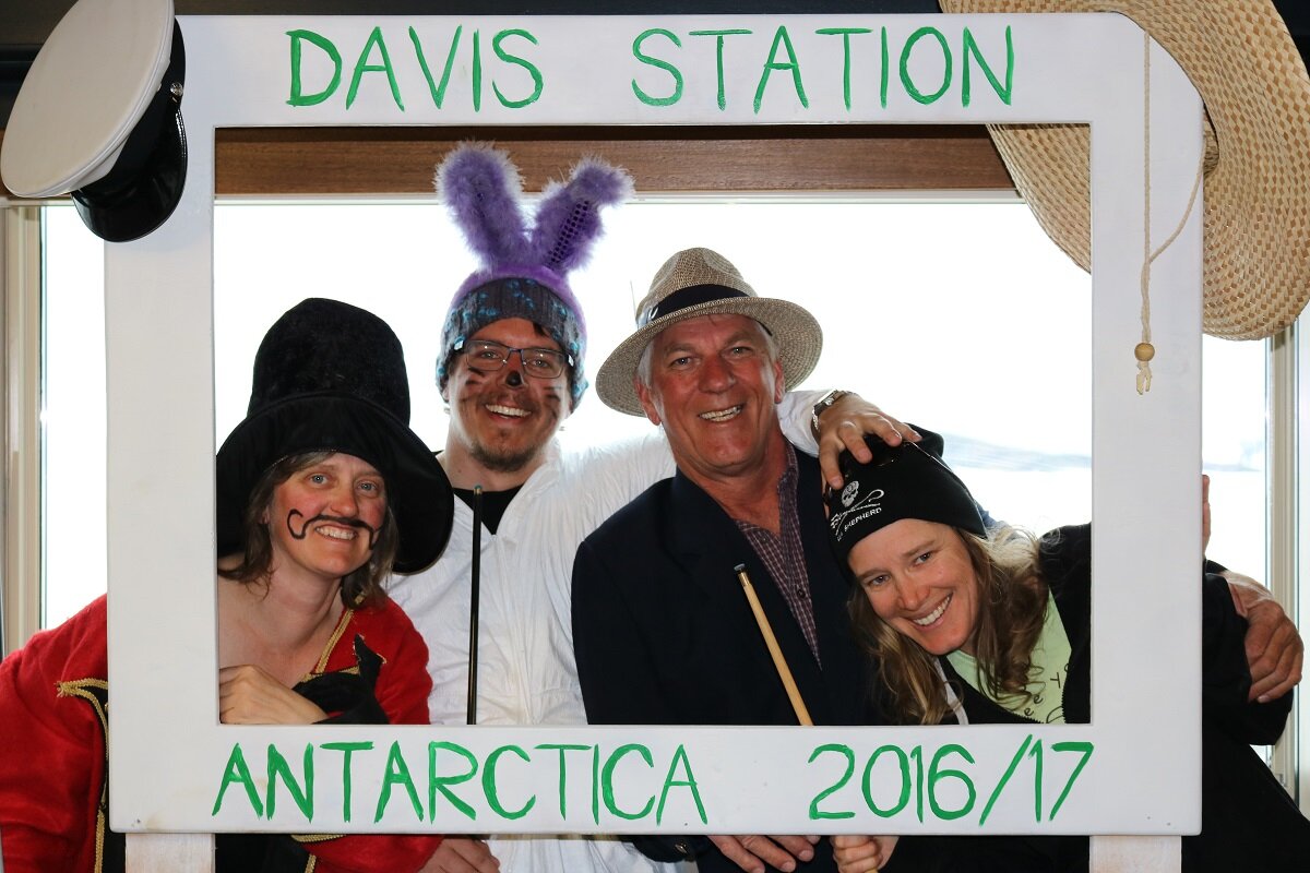
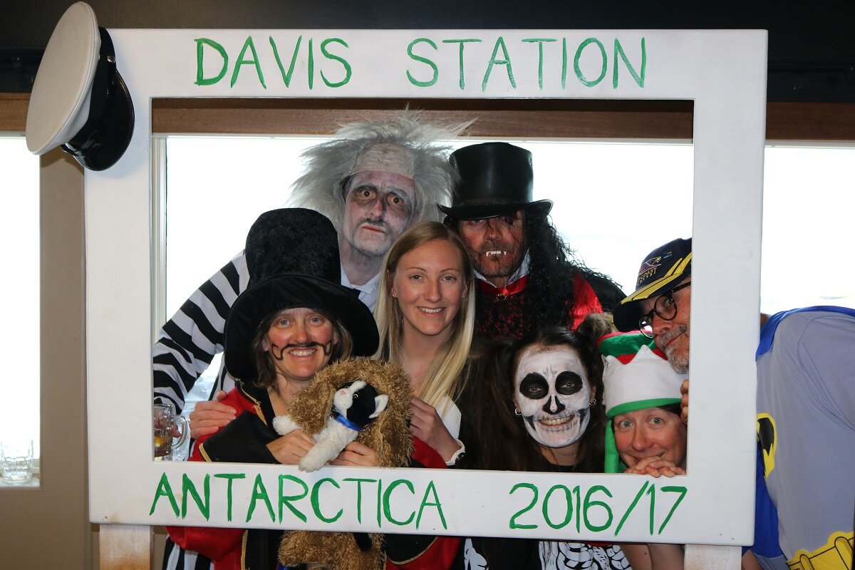
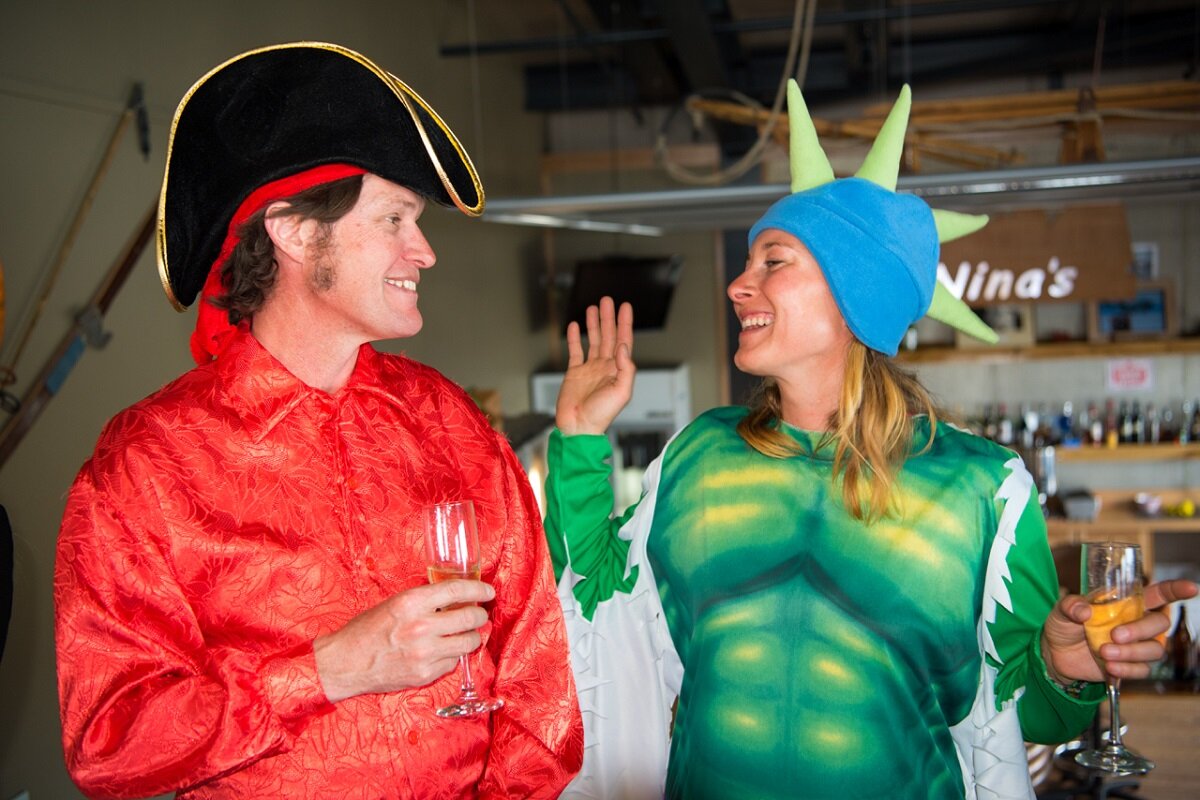
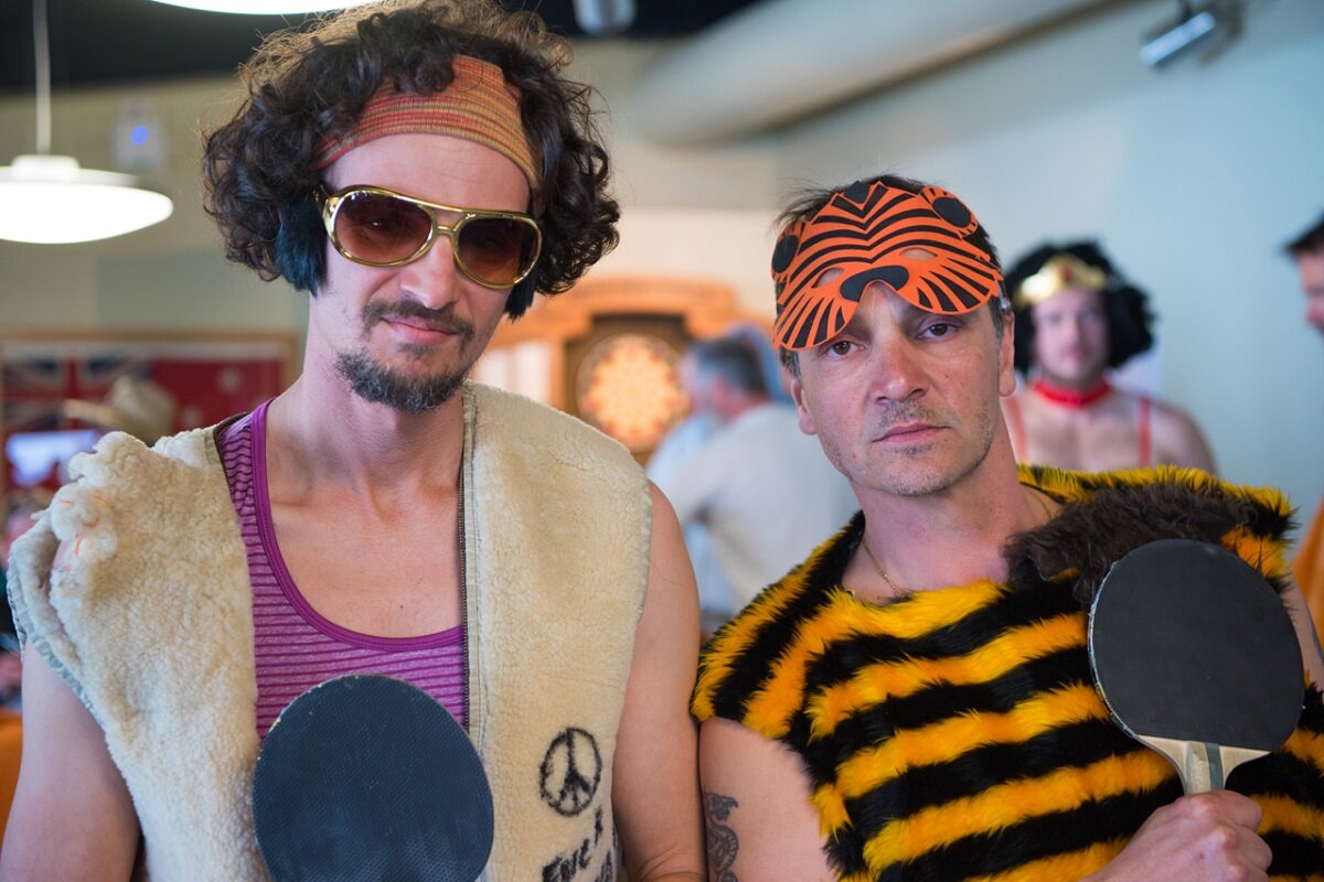
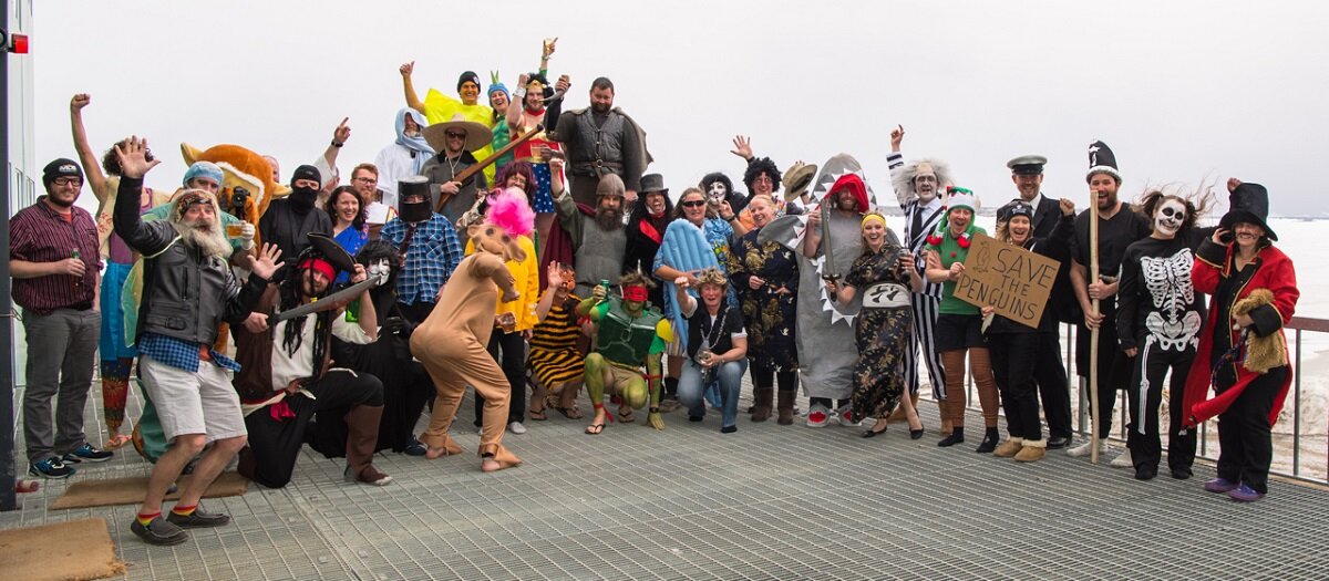
First party of the summer
The Davis station social scene came alive this past weekend with two massive events to lead us in to the December Christmas buzz.
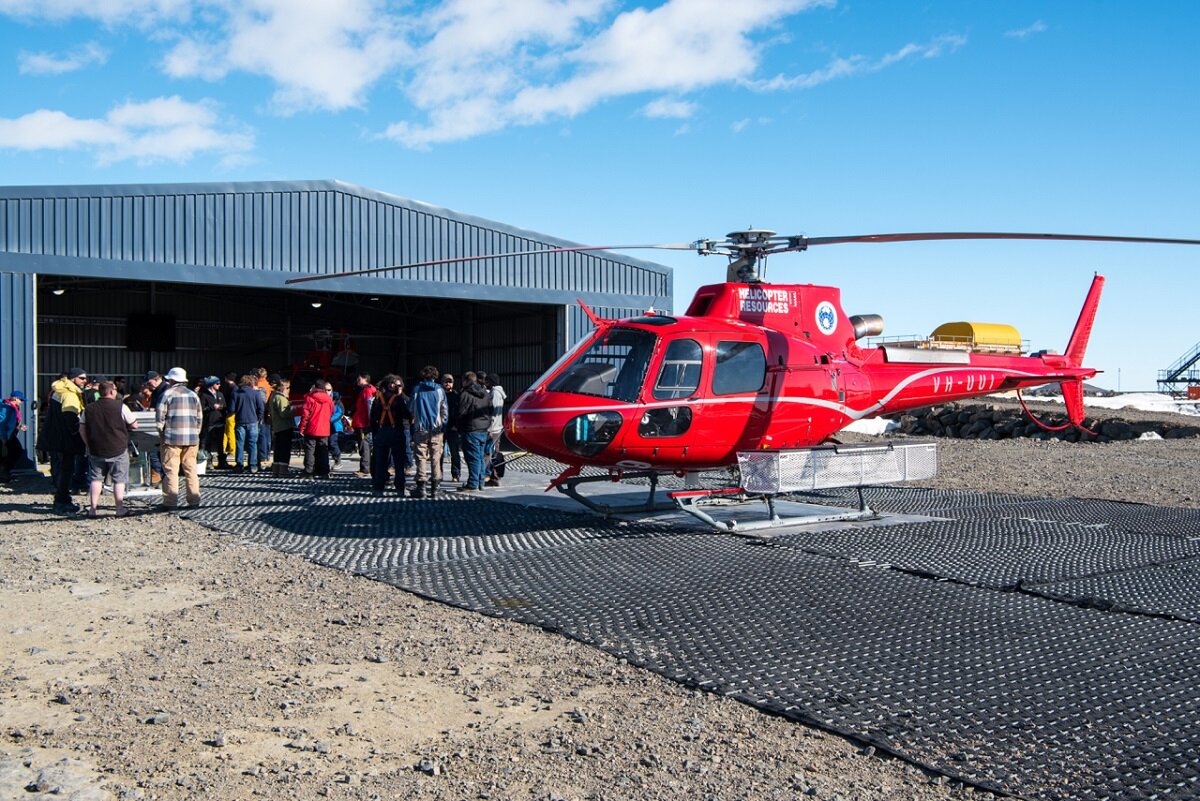
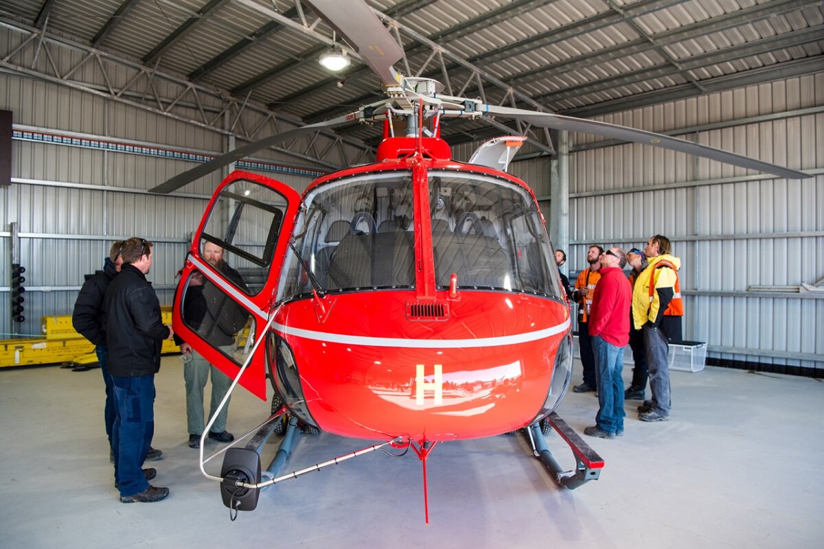
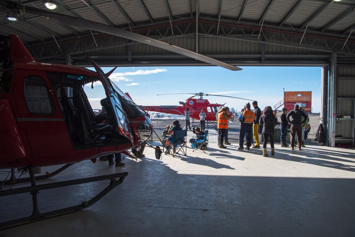
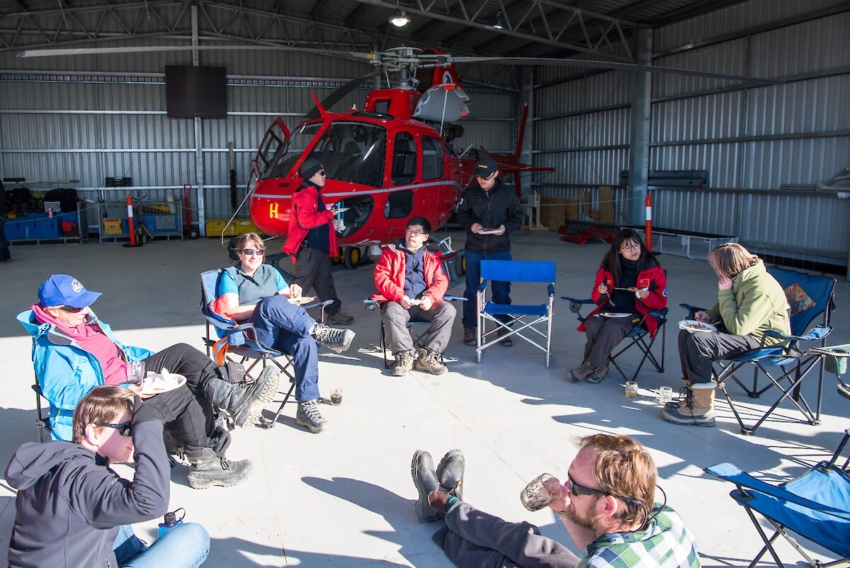
Starting it all off on Friday evening was a warm BBQ enjoyed at the helicopter hangar on station. The heli resources team kindly allowed everybody to soak up the sunshine and enjoy the Aussie BBQ while getting some up close pictures and information on our most valuable assets. But it didn’t stop there.
Saturday brought us a fantastic dress up in which everyone had the opportunity to don an outfit starting with the letter of their first name. We had pirates, ninja turtles, samurais, doctors and all sorts of characters.
Games were being played all through our living area, a station “charades” competition was hilariously good fun and station got the lift in spirits it desperately desired. A fun weekend was had by all!
Bryce