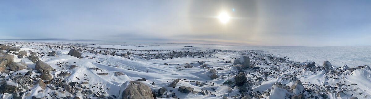

For those who haven’t wintered over at Casey, it may be hard to believe that we don’t really hang on to our sea ice. It forms quickly, just like at Davis and Mawson, however it also goes walkabout every time we get a decent bit of wind. Unfortunately, we seem to get this decent bit of wind at least monthly.
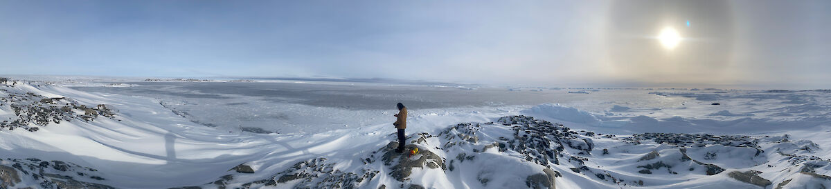
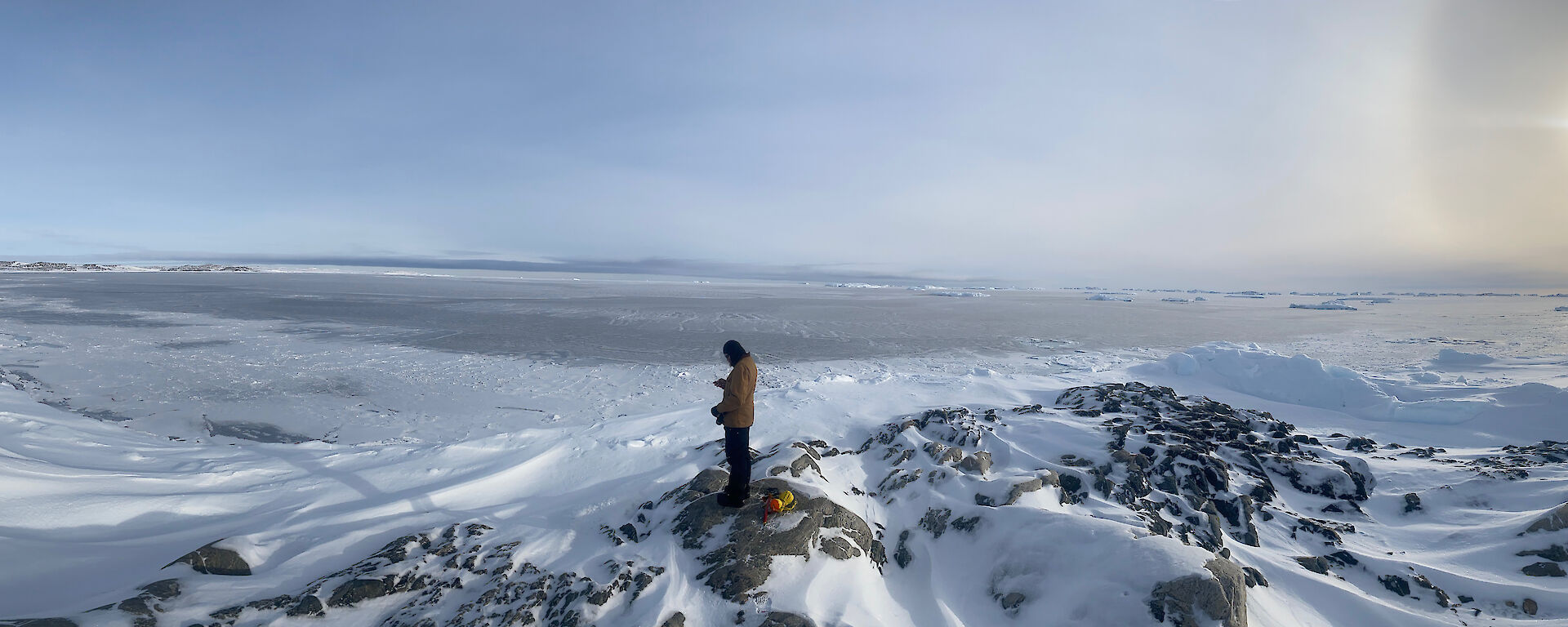
This week we had slated in to go out to the Swain group and install some monitoring equipment for the Heil sea ice science project. This involves taking a load of pelican cases, tripods, anemometers and geophones (microphones that pick-up sounds from the ground) out to the Swain Islands and placing and fixing them to the sea ice in strategic locations. Unfortunately for us, last week we had a few days of high winds which blew all the sea ice out, and even though it tried to refreeze, it then blew out again. Our mission yesterday was to head out to the Swain Islands and inspect the extent of sea ice loss, and also to take a series of GPS marks of where the sea ice was still locked in, so we could plan the most efficient and useful deployment pattern for the scientific instruments.
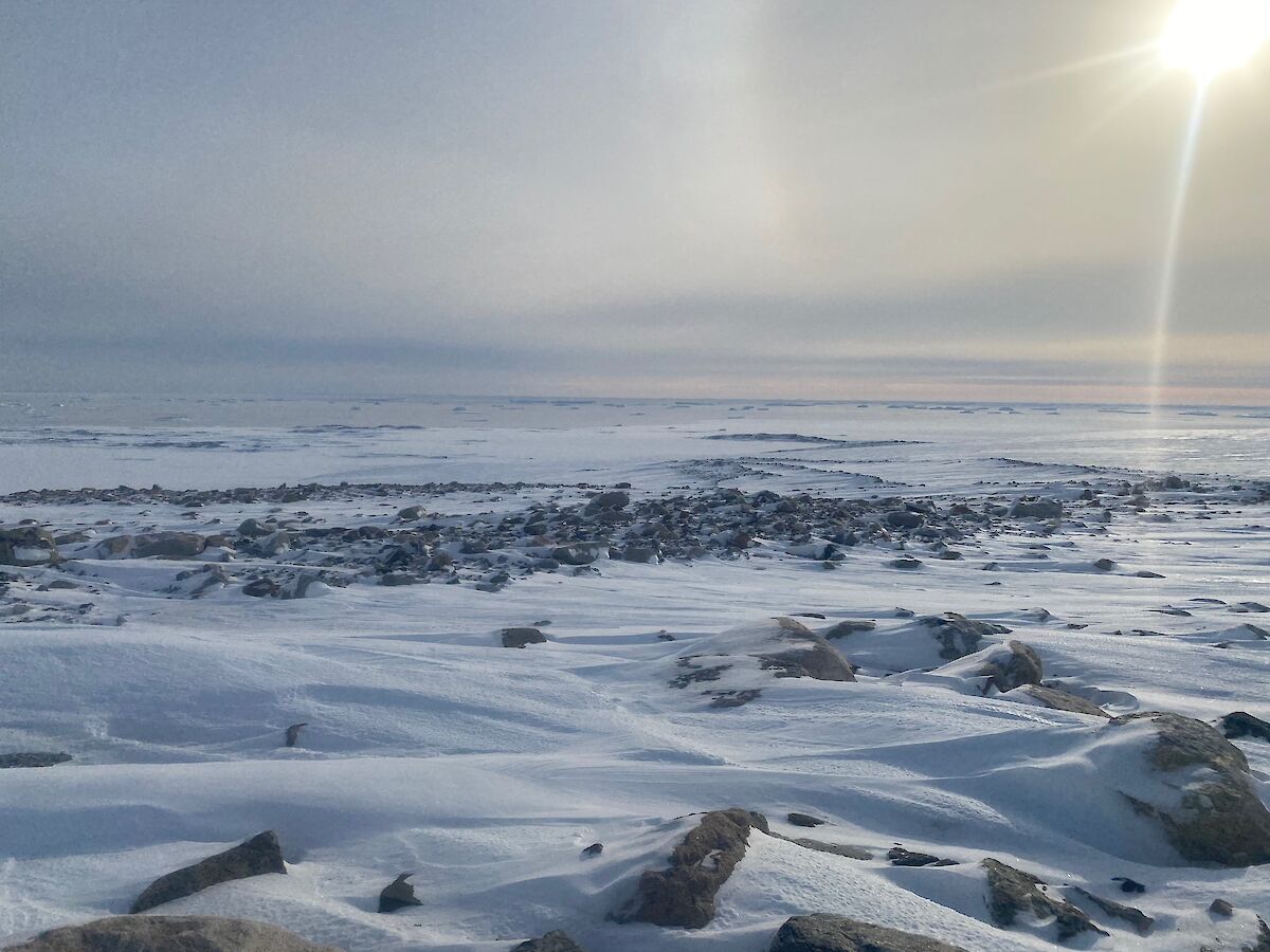
Chippy Haydn and I departed station after smoko. The weather was perfect for the planned mission as it was only -15 degrees and a very light wind, making for comfortable riding conditions. The sun was out giving us good visibility and importantly good surface definition (so you can see bumps and dips in the snow) helping us to see the clearly defined boundary between the old sea ice and the newly forming ice. We arrived at Jack’s Donga after a short time and then proceeded to drop down behind it and enter the sea ice. We drilled the ice before we got on it and it was well over a metre thick, plenty thick enough for travelling on. Seeing as we had a bit of snowfall the day before, sometimes you can’t see where new ice has formed so we constantly stopped to drill every time we thought something looked different. Luckily measurements never dropped below 1.2 m until we got to the visibly discernible edge. We cautiously made our way to where the new ice was forming and drilled it, and it turned out to be far too thin even to walk on. From there, we rode around between all the islands and marked multiple points along the way where the good ice terminated.
We finally headed back to station and plotted all these points on a map, so we could come up with an optimal plan for the deployment.
Now we just have to hope that the weather Friday is suitable for the deployment of the instruments and that we don’t get another big wind before then!
– Sharky (2021 Casey Building Services Supervisor/Instrument Electrician)