
Cold advection fog phenomenon in Newcomb Bay
Aurora australis, you say? Sorry, not interested, we get that back home in Mackay. Like so many others, I took a job in Antarctica for the incredible fog, and April absolutely delivered. Allow me to rip the following from the International Cloud Atlas (Home | International Cloud Atlas (wmo.int)), the trusted almanac and bedside companion of any respectable weather observer:
Section 3.2.1.1 Hydrometeors consisting of a suspension of particles in the atmosphere:
Fog: A suspension of very small, usually microscopic water droplets in the air, reducing visibility at the Earth's surface
There are several types of fog, but the main one on display last month was evaporation fog, or cold advection fog.
Evaporation fog: formed when cold, stable air moves over [i.e. is advected across] a much warmer body of water. Evaporation from the warm body of water saturates the cold air above; water vapour condenses in the cold air producing 'steam fog' or 'sea smoke'.
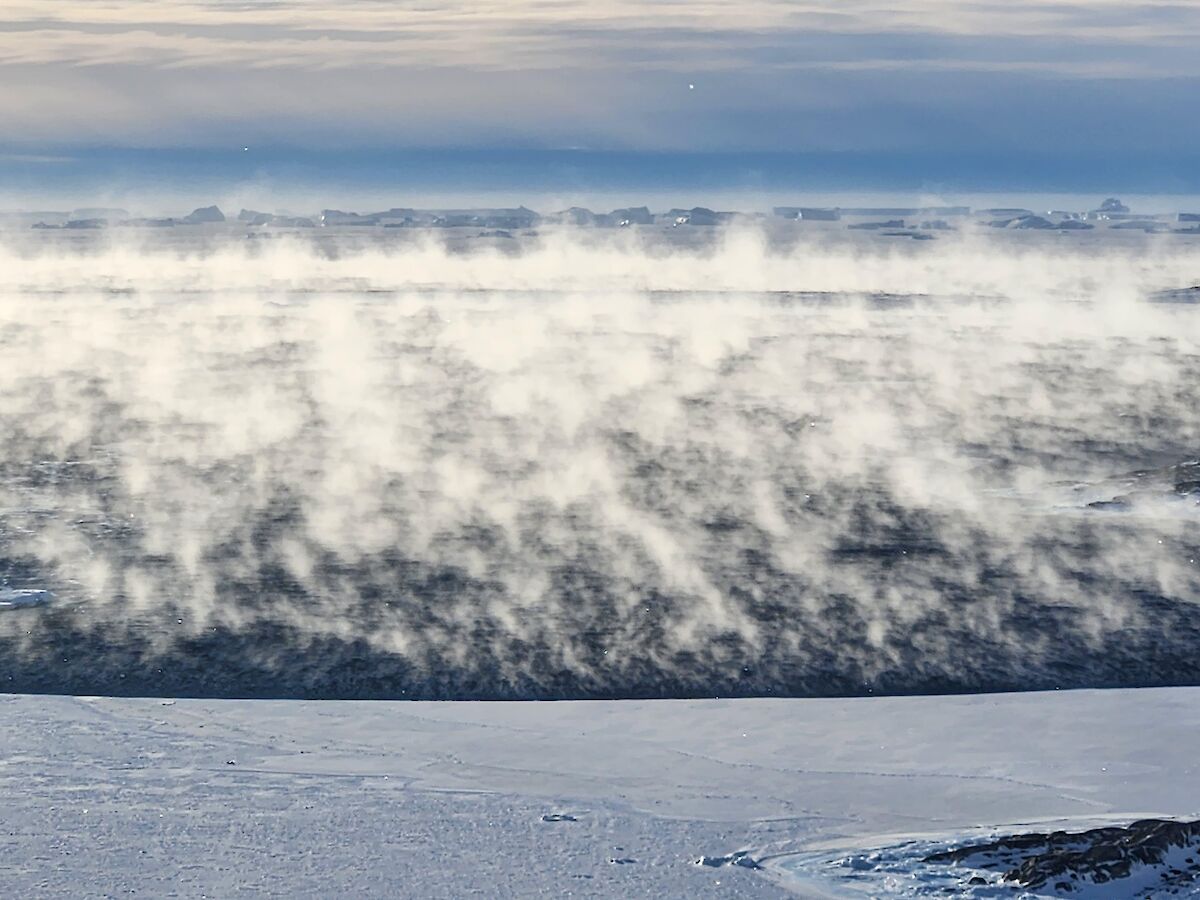
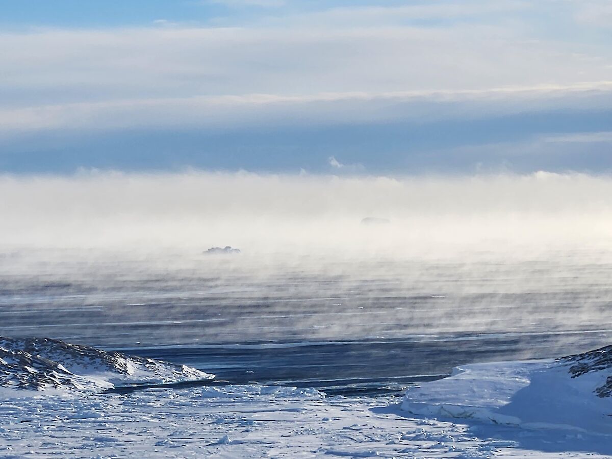
Last month, sustained southerly winds bringing cold (< -20 oC), stable air down from the continental icecap passed over patches of warmer open water (likely just a degree or two below zero) in Vincennes Bay. This southerly wind-driven advection sustained the conditions necessary to continuously generate the 'steaming' fog phenomenon. This type of fog differs greatly to the more classic type that we had a few times on station over the summer, where you're essentially immersed in a cloud that's squatting at ground level, and in which things get uniformly more obscured with distance, and which forms in calmer air by a different mechanism.
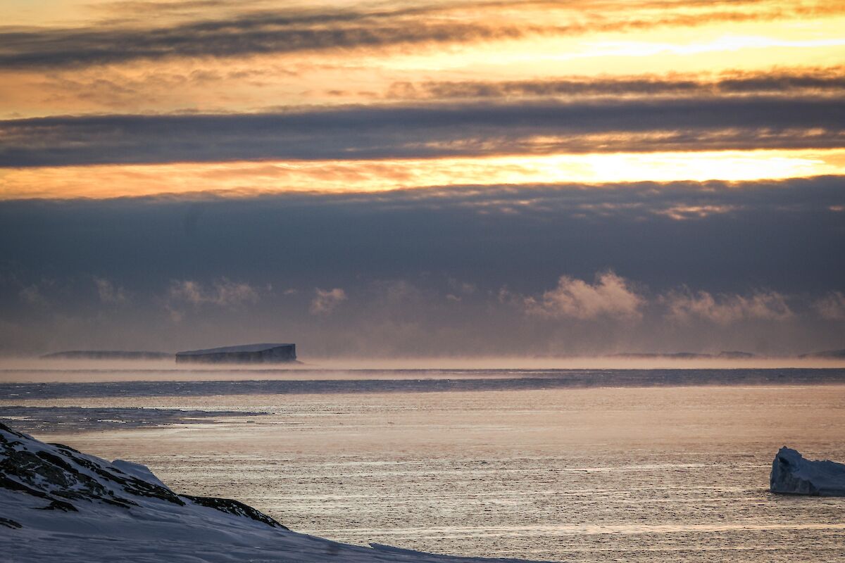
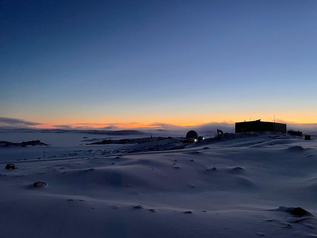
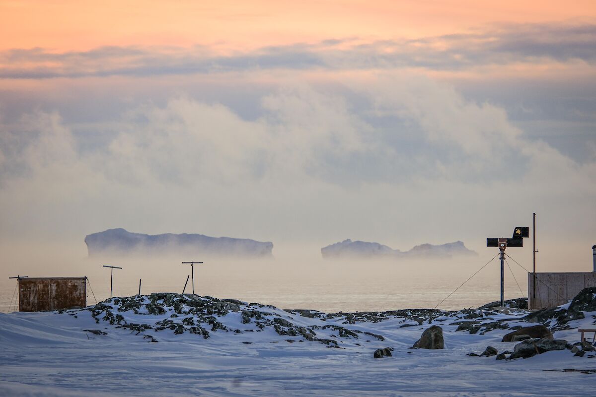
We first saw hints of this cold advection on April 2nd and 3rd, when a band of sea fog and associated low stratus cloud was visible out to sea in the west, streaming northward. The phenomenon was largely confined to the horizon due to the extensive sea ice hugging the local coastline, but following a blizzard on the 9th, large patches of open water appeared just outside the entrance to Newcombe Bay, and once the winds eased a little, the fog really took off (bonus hill fog on the ice slope to the east of station in the early morning, curled over on top by the growing wind).
On the 10th, there was a bank of fog out to sea, flowing northward on the horizon all the way from beyond the Mitchell Peninsula through to west of the Bailey, then dispersing to ragged swathes and misty patches. Exposed areas of water just beyond the bay entrance were steaming; long streamers of patchy fog snaking across the dark surface and rising gradually to evaporate again in the strong wind. This persisted all day, and again on the 11th, if not more spectacularly, to the point of generating small cumulus.
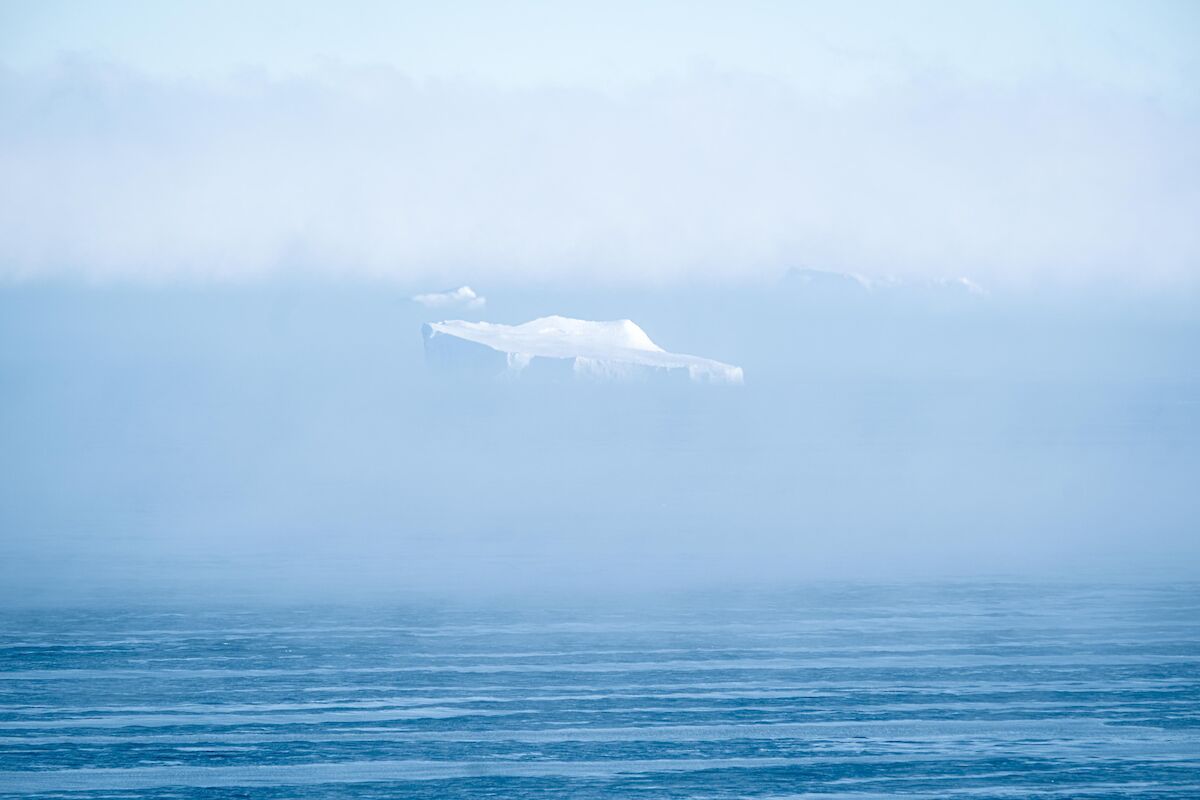
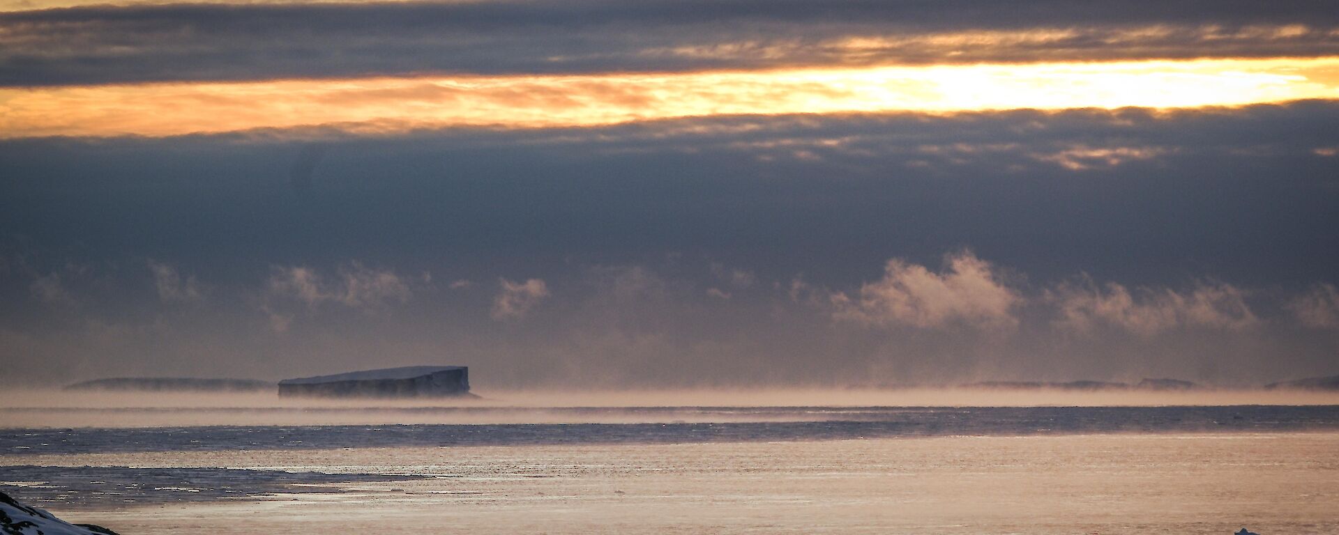
Distant sea fog to the south and west occurred again later in the month, notably on the 14th, 19th, 21st and 30th, suggesting open water out to sea. Although the cold advection process was generating this fog, on these occasions we had lost open water near the bay, so we didn't get the same spectacular sea smoke phenomenon close to station. We're waiting for it to happen again, once the sea ice breaks up and we get another consistent southerly breeze.
Bureau of Meteorology - Observer, Thomas Windsor.