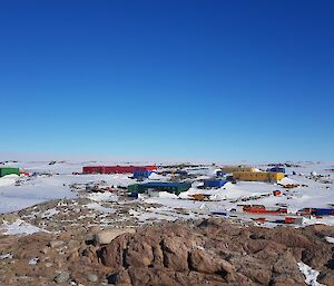
Tide gauges are located at each Antarctic research station and it was time for the levelling of the tide gauge at Casey station! With a beautiful weather forecast on Saturday/Sunday it was decided to give it a crack!
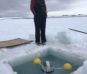
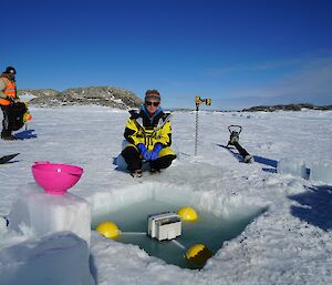
A floating temporary tide gauge that records its position in 3 dimensions every second has been constructed using a Global Satellite Navigation System (GNSS) Receiver by the Division’s Science Technical Support (STS) team. The unit needed to be deployed for a full tide cycle of 25 hours. By comparing the elevation data logged by the temporary tide gauge to data collected by the permanent Geoscience Australia CORS (Continuously Operating Reference Station) at Casey, a highly accurate measurement of the tide levels can be made. This in turn can be used to determine the elevation of the Casey Tide Gauge.
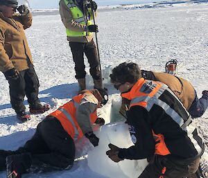
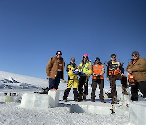
A sweet team of Antarctic devotees were gathered — Nathan G on chainsaw, Ben K on jiffy drill, Matt M, Dean A & Russell as extreme strong men ice handlers and Imojen on tide gauge pampering duty — headed out for a foray out onto the sea ice which is still packed in tight around the Casey wharf.
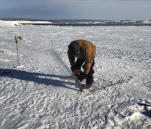
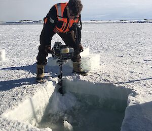
An ice bath was marked out and blocks ~0.5m deep cut by chainsaw and hauled out. As the sea ice is still >1m deep around the Casey Wharf a jiffy drill with an extension auger was needed to drill out each corner of the bath to flood it making a nice little spot for the temporary tide gauge to sit.
And then the fun began! Every 3 hours for 25 hours, the gauge needed to be checked and ice cleared from around the floats –Rebecca M joined Imojen to work overnight to keep the hole from icing up. The tide gauge was retrieved the next day and the precious data was then downloaded and sent through to Kingston — job done!
So how does it feel to chainsaw through sea ice you ask?…apparently it ‘goes through like butter!’

