
A walking trip to Hurd Point
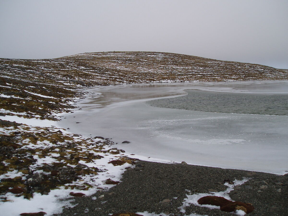
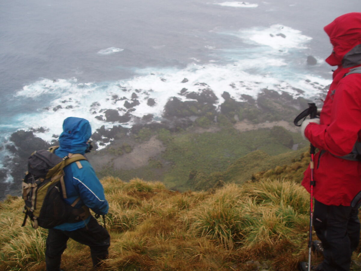
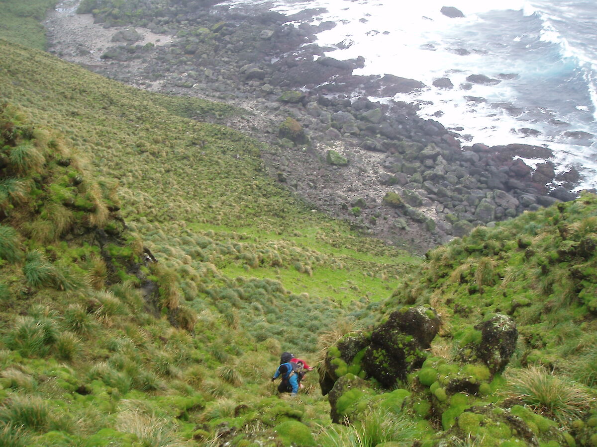
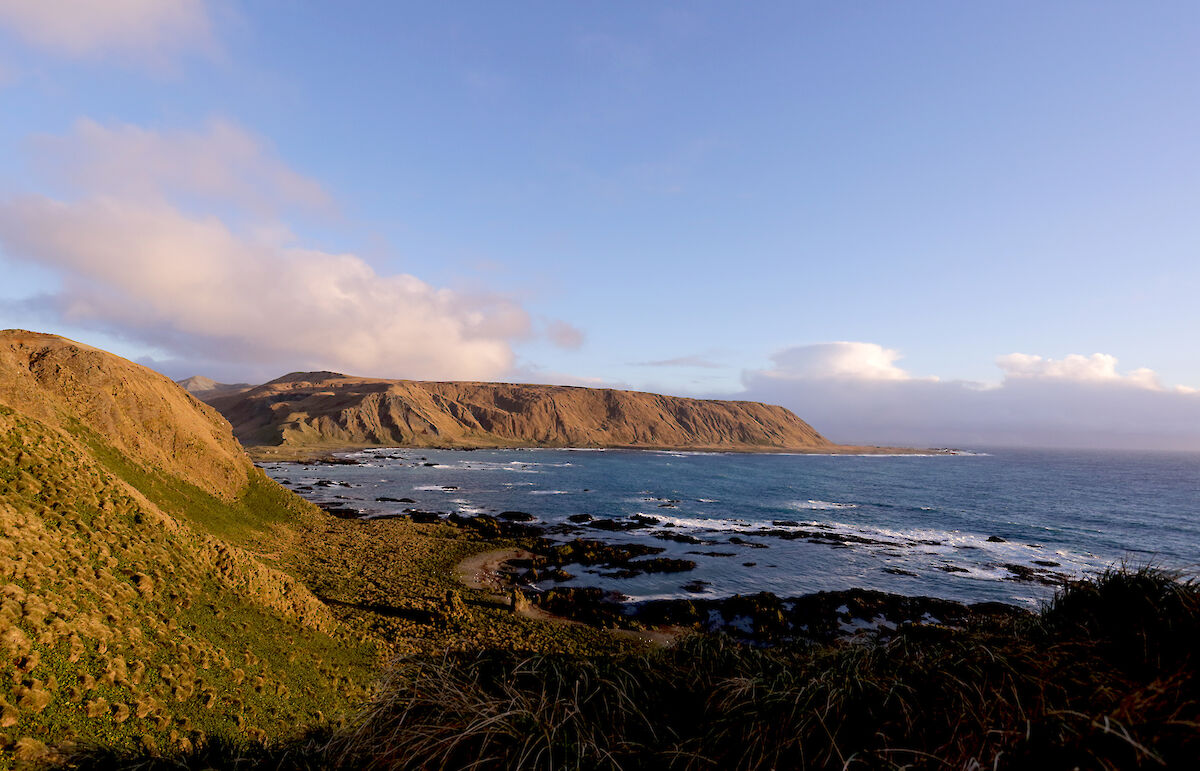
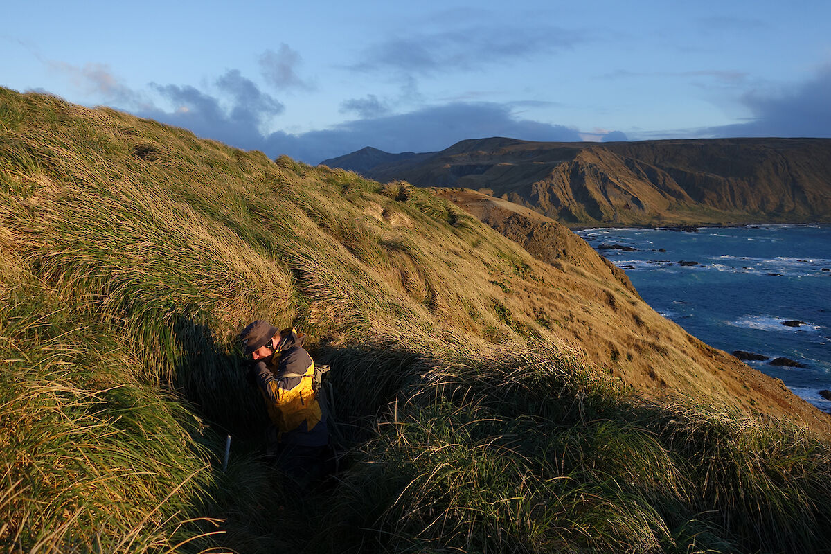
Hurd Point is the southernmost point on Macquarie Island and is about 35 kms from station. This distance is walked along our “overland track” in about ten to twelve hours (in favourable weather), so at this time of year must be walked over two days as our winter days only last about seven hours or so. This in turn means a minimum five or six day round trip at this time of year. Since our April arrival, we had not travelled all the way to Hurd Point for reasons of getting field training and SAR (search and rescue) team training completed, getting used to the walking conditions and environment on Macca, short days, weather, and exploring the northern areas of the island first. This is of course with the exceptions of our two TASPWS rangers Chris and Mike, who have stayed on with us since last year, and have been roaming the island to undertake their work commitments all this time.
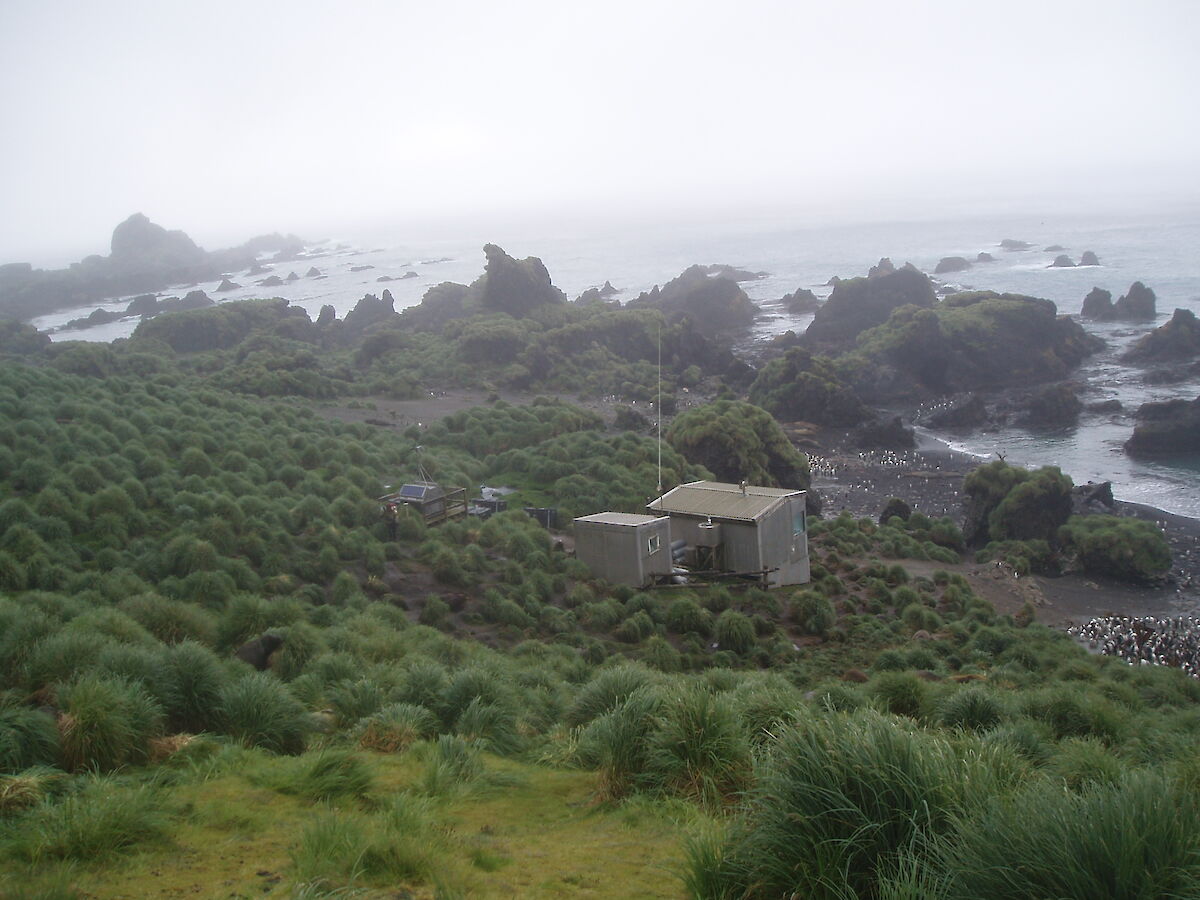
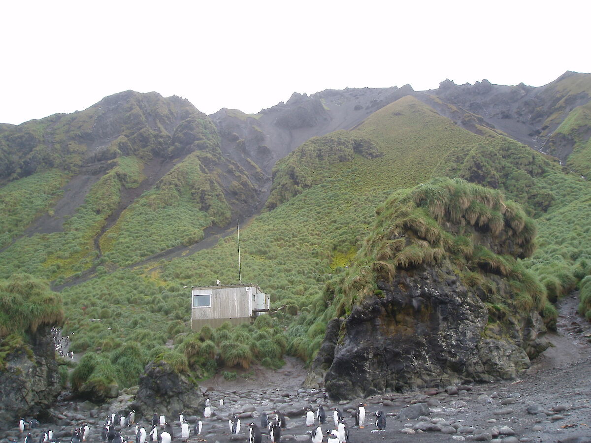
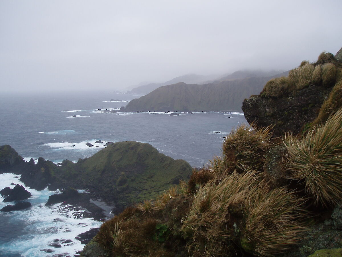
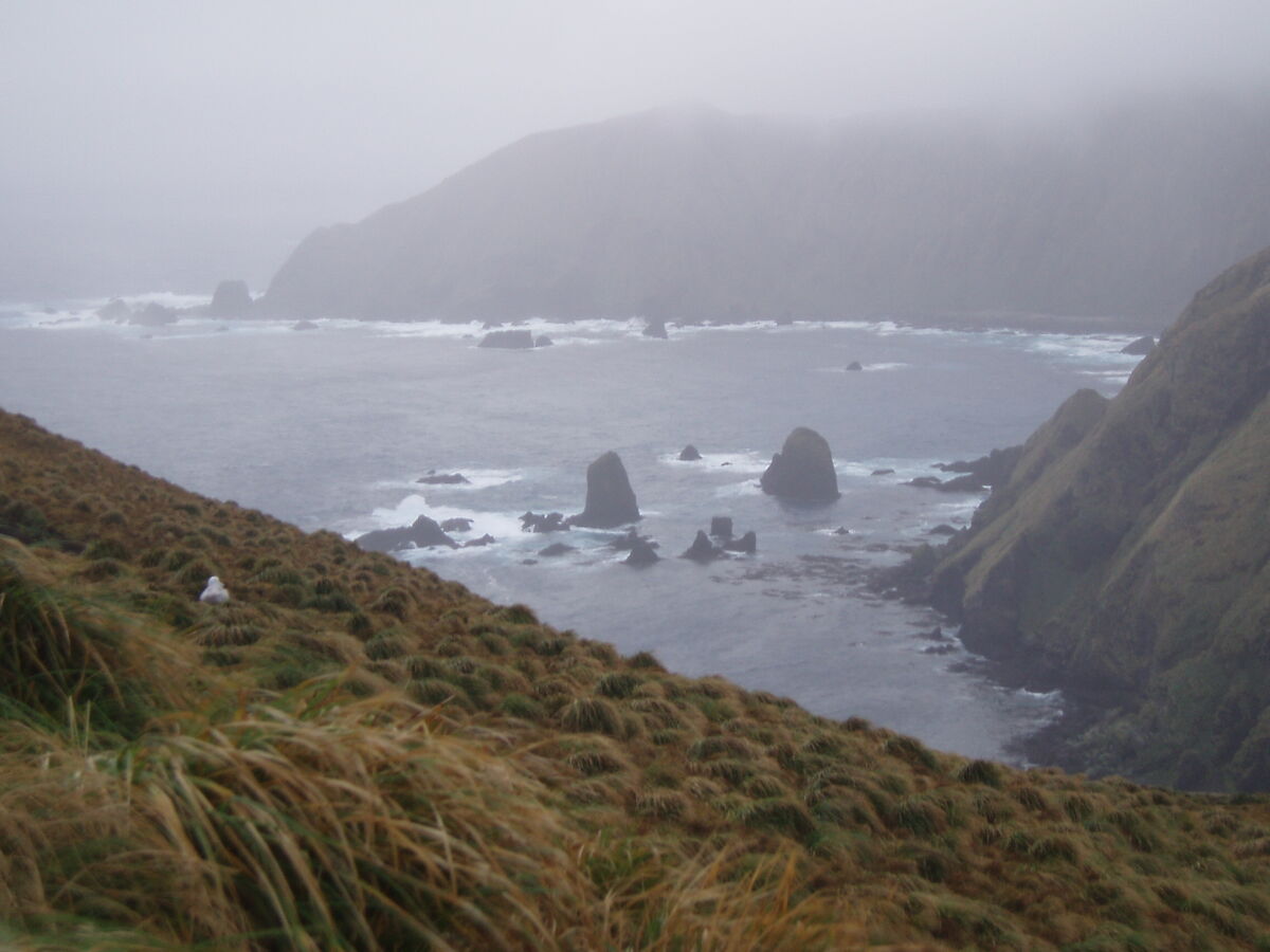
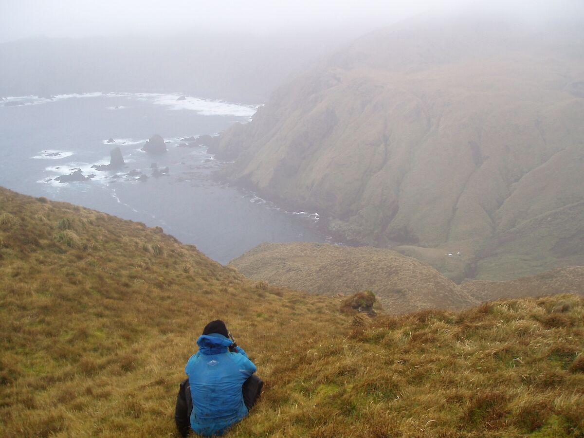
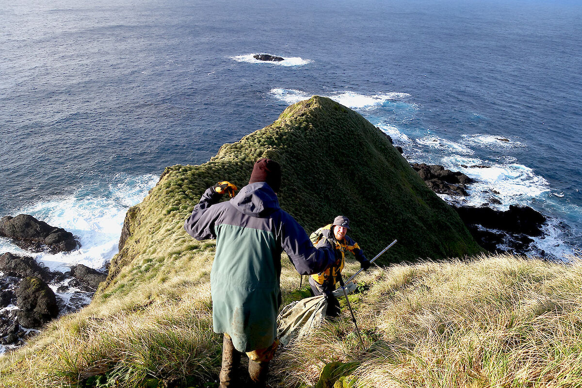
Last week field training officer Ian and station leader Ivor were able to get down to Hurd Point, to accompany ranger Chris on a work trip. Hurd Point, on the south eastern corner of the island, is spectacular. Even more spectacular is the nearby Caroline Cove area on the south western corner, and this is within a Specially Managed Area (SMA) with access year-round limited to people approved through a TASPWS access permit. Entry permits are normally only issued to the rangers themselves and to the albatross researchers who work in the area during summer. This restricted access is in place to ensure protection of the breeding nest sites of the wandering, black browed, and grey headed albatross, and other sensitive bird breeding areas. It also protects the remaining areas of healthy azorella cushion plants, where there is no evidence of the currently unexplained dieback condition affecting much of the plant’s plateau habitat on the island. The albatross species nest on high steep slopes around Caroline Cove on Petrel Peak and Cape Starr.
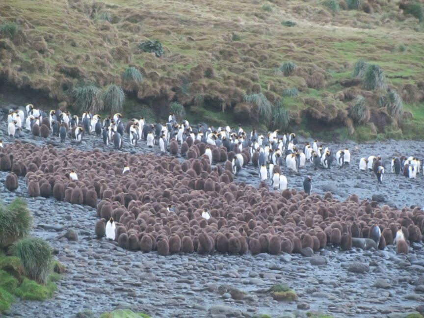
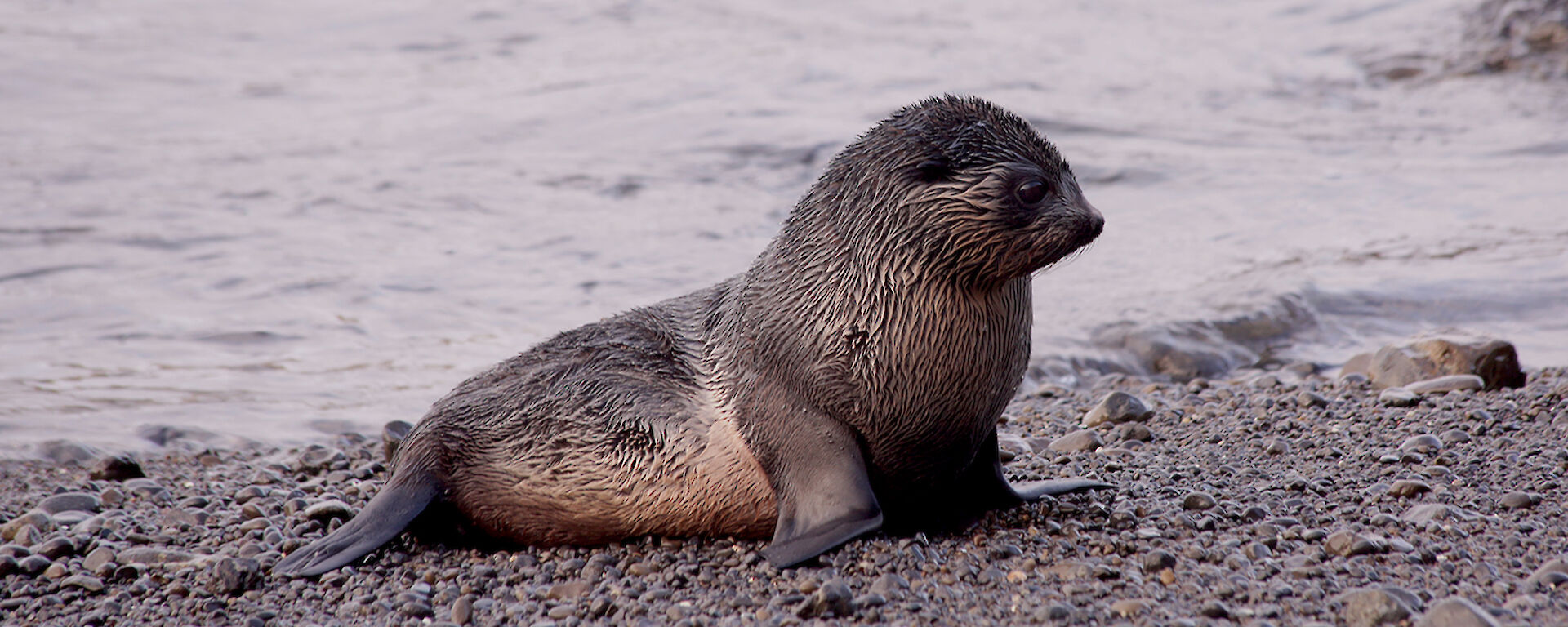
Ian and Ivor were interested to see the Caroline Cove SMA area in order to gain an appreciation of the areas where our albatross researchers will be doing their work next summer — particularly to appreciate the level of difficulty of mounting a SAR response and recovery if there were to be any sort of an accident. We were therefore very lucky that ranger Chris had been able to organise an SMA entry permit for the two of us. Chris’s work tasks included checking the condition of the currently seven wandering albatross chicks in nests on Petrel Peak and Cape Starr. Wandering albatross, the largest of the albatross species, rear their chicks through the winter, and only breed every second year, as opposed to the other slightly smaller species and the more common light mantled sooty albatross on the island, whose chicks are fledged by the late autumn. As the breeding numbers of wandering albatross on Macca are so small, these birds are critically managed and protected. It was a great privilege for Ian and Ivor to be able to accompany Chris on this task in particular, and observe these beautiful young birds from the specified discrete approach distance.
As day lengths increase now, it will become easier for more of us to get down to Hurd Point, and several trips for work purposes are planned soon. These trips will not include SMA access however, and the opportunities for these visits will remain very limited for good reasons.
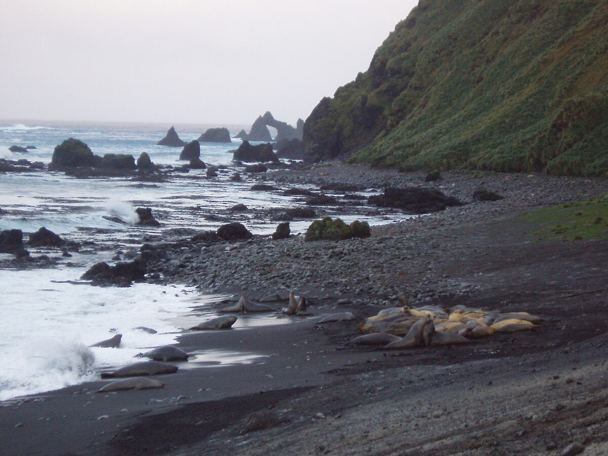
Standing at Hurd Point, you can confidently claim to be the southernmost person in Australia! Macca is (slightly) further south than Heard Island, and not counting the Australian Antarctic Territory of course&hellip!