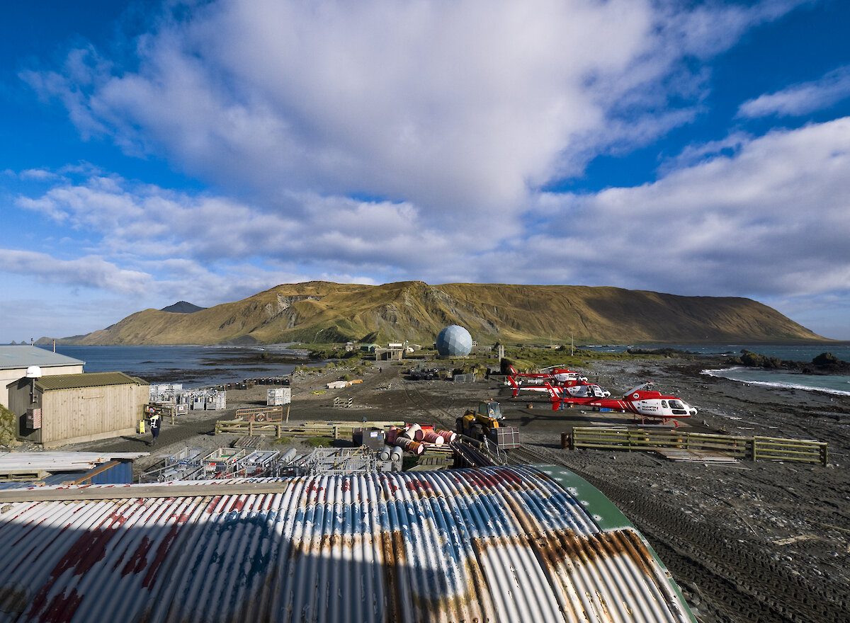

An array of atmospheric instruments will be deployed on Macquarie Island in April to help scientists better understand Southern Ocean clouds and how they can be used to improve weather forecasting and climate models.
Australian Antarctic Division atmospheric scientist and Chief Investigator of the project, Dr Simon Alexander, said a lack of data on Southern Ocean clouds prevents Southern Hemisphere climate models from accurately representing atmospheric energy balance (heat coming into the atmosphere versus heat going out).
This in turn affects the accuracy of how models represent and forecast temperatures, the movement of weather systems, sea ice formation and ocean currents.
“Most research on high latitude clouds has focussed on the Arctic, but the clouds above the Southern Ocean are thought to be unique and include ‘super-cooled water clouds’ which remain as liquid water at temperatures well below freezing,” Dr Alexander said.
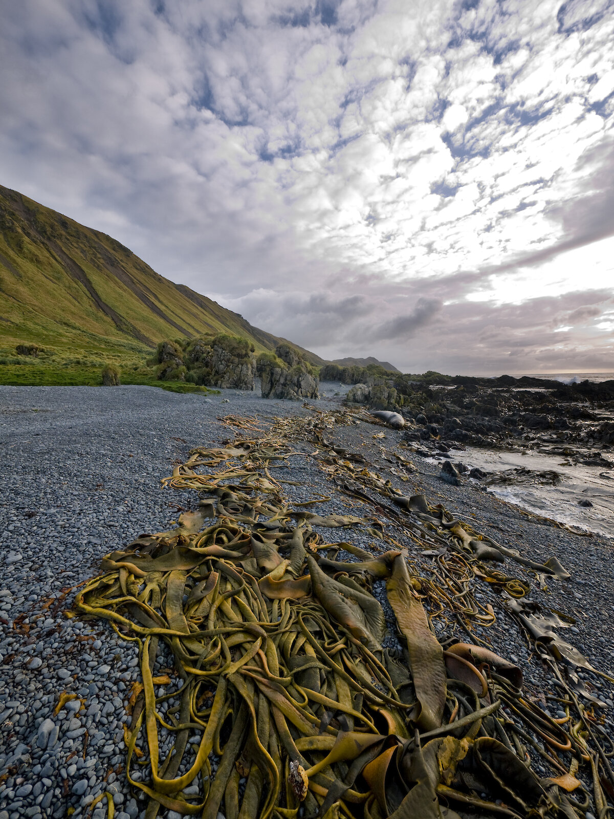
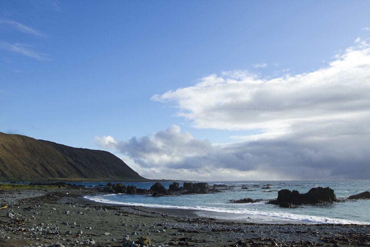
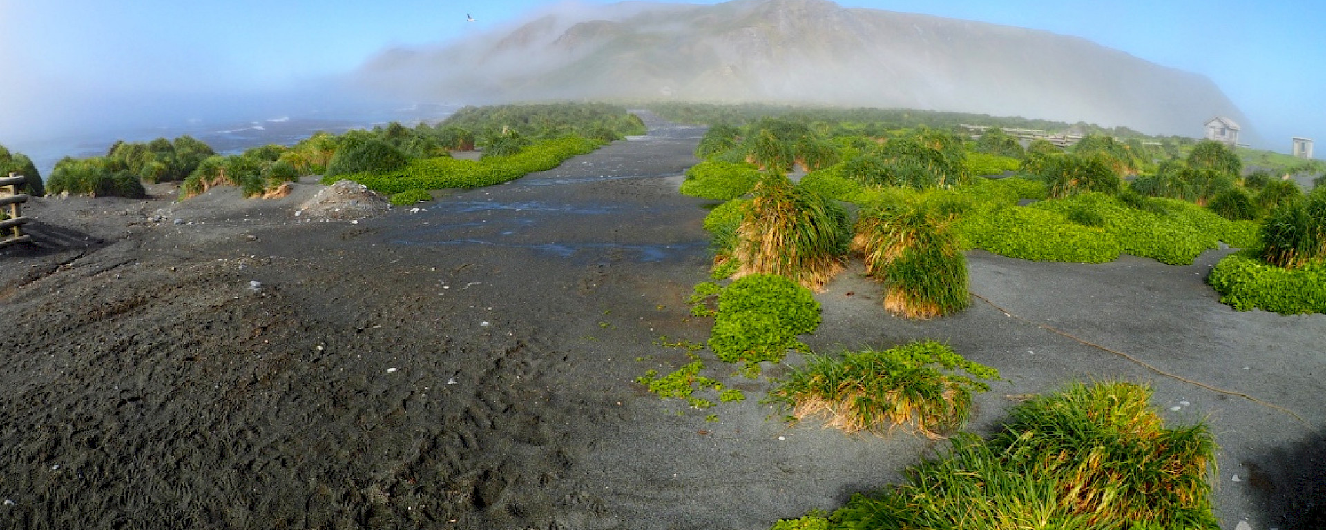
“As Macquarie Island sits in the path of weather systems which circulate around the Antarctic continent, it’s an ideal place to conduct cloud-related research.”
Dr Alexander will be joined on Macquarie Island by colleagues from the Division, and technicians from the Bureau of Meteorology and the US Department of Energy. The team will install equipment which will measure the seasonal cycle of cloud, aerosol and radiation properties over the Southern Ocean.
The instruments, which include a cloud LIDAR, cloud radar and microwave radiometer, will measure clouds from near the surface up to 10km altitude.
John Bally, Regional Director Tasmania and Antarctica at the Bureau of Meteorology, said the instruments will help the scientists to determine whether the clouds are composed of ice, water or a mixture of both.
“We will be able to determine the altitude at which the various cloud phases occur, how frequently they occur, and how they are related to weather systems,” Mr Bally said.
Mr Bally said that current knowledge of Southern Ocean clouds and the atmosphere rely heavily on satellites yet these have difficulty measuring low-level clouds and the data provided has proven difficult to validate.
“The data from the ground-based observations at Macquarie Island will enable us to validate the satellite data over the Southern Ocean,” he said.
The instruments will remain on the island for up to two years with some to be transported to Antarctica to record similar cloud properties above Davis station later this decade.
The project is supported by the Australian Antarctic Division, United States’ Atmospheric Radiation Measurement (ARM) program, the Bureau of Meteorology, CSIRO and the University of Canterbury in New Zealand.