

An array of atmospheric instruments will be deployed on Macquarie Island next year to measure clouds from every possible angle.
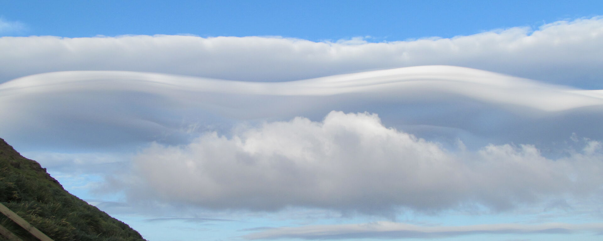
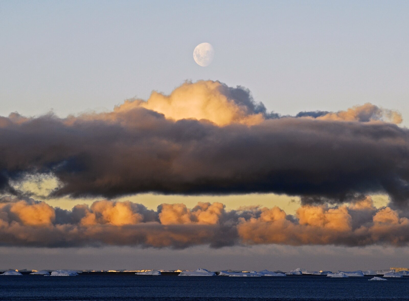
For most people clouds are ephemeral shapes in the sky or harbingers of rain, but for climate modellers they are a conundrum, especially in the Southern Ocean.
Australian Antarctic Division atmospheric scientist, Dr Simon Alexander, says Southern Hemisphere climate models are afflicted by a lack of data on clouds that prevents them from accurately representing atmospheric energy balance — heat coming into the atmosphere versus heat going out. This in turn prevents accurate representations and forecasts of atmospheric temperatures, the movement of weather systems, sea ice formation and ocean currents.
‘Most research on high latitude clouds has focussed on the Arctic, but the southern high latitudes are a different environment, so the results from the Arctic can’t be directly applied’, Dr Alexander said.
‘One of the key unknowns in the Southern Ocean region is the occurrence of super-cooled water clouds, which remain as liquid water despite being at sub-zero temperatures.
‘To address this and other knowledge gaps, we have established an international collaborative project to characterise clouds present above the Southern Ocean, so that we can validate satellite measurements and improve climate models.’
Dr Alexander’s project will involve deploying numerous atmospheric observing instruments on Macquarie Island in March 2016, for a full year, to determine cloud thickness, height and composition, as well as the surface energy budget (the balance between incoming and outgoing solar radiation). The experiments will be repeated a few years later on the Antarctic continent at Davis, with related experiments to be conducted at other East Antarctic stations.
Members of the scientific team will contribute a range of instruments that use electromagnetic radiation (such as light, radio waves and microwaves) to measure cloud properties. These instruments will include a cloud ‘LIDAR’ (light detection and ranging), a cloud radar and a microwave radiometer. Other instruments will observe incoming and outgoing solar radiation.
‘The cloud LIDAR uses laser pulses to measure light scattered off cloud water droplets or ice particles, which gives us information about the thickness, composition and height of the clouds,’ Dr Alexander explained.
‘The cloud radar will provide us with the liquid and ice water content of clouds, amongst other properties, which will complement measurements of the total amount of liquid water and water vapour obtained by the microwave radiometer.
‘Together these instruments will give us details about the phase of clouds; that is, whether they’re composed of ice or water or a mixture of the two. We’ll also determine the altitude at which these different cloud phases occur, how frequently they occur and how they’re related to weather systems and the surface energy budget.’
The team will use their Macquarie Island-based instruments to measure clouds from about 100m to 10km in altitude. Satellite-based instruments will measure the clouds from above, including high cirrus clouds that the ground-based instruments can’t reach if there is thick lower-level cloud.
By combining all the data the team will be able to validate satellite measurements of clouds over the Southern Ocean and improve the representation of Southern Ocean cloud processes in models.
‘One of the first things we’ll do is look at the seasonal and altitudinal distribution of clouds relative to the centres of low pressure systems and cold and warm fronts,’ Dr Alexander said.
‘We will compare how models represent these distributions with our observations to understand the discrepancies.’
Dr Alexander said positioning instruments on Macquarie Island was the best way to capture information representative of the Southern Ocean.
‘Macquarie Island is in the path of all the weather systems that circulate around the Antarctic continent,’ he said.
Similarly, when the experiment moves to the Antarctic continent in a few years’ time, instruments at Davis and Dumont d’Urville will capture cloud processes that are representative of coastal East Antarctica, while instruments at the French/Italian station of Concordia (at Dome C, about 3000m above sea level), will capture cloud processes representative of the high Antarctic plateau.
Wendy Pyper
Australian Antarctic Division