
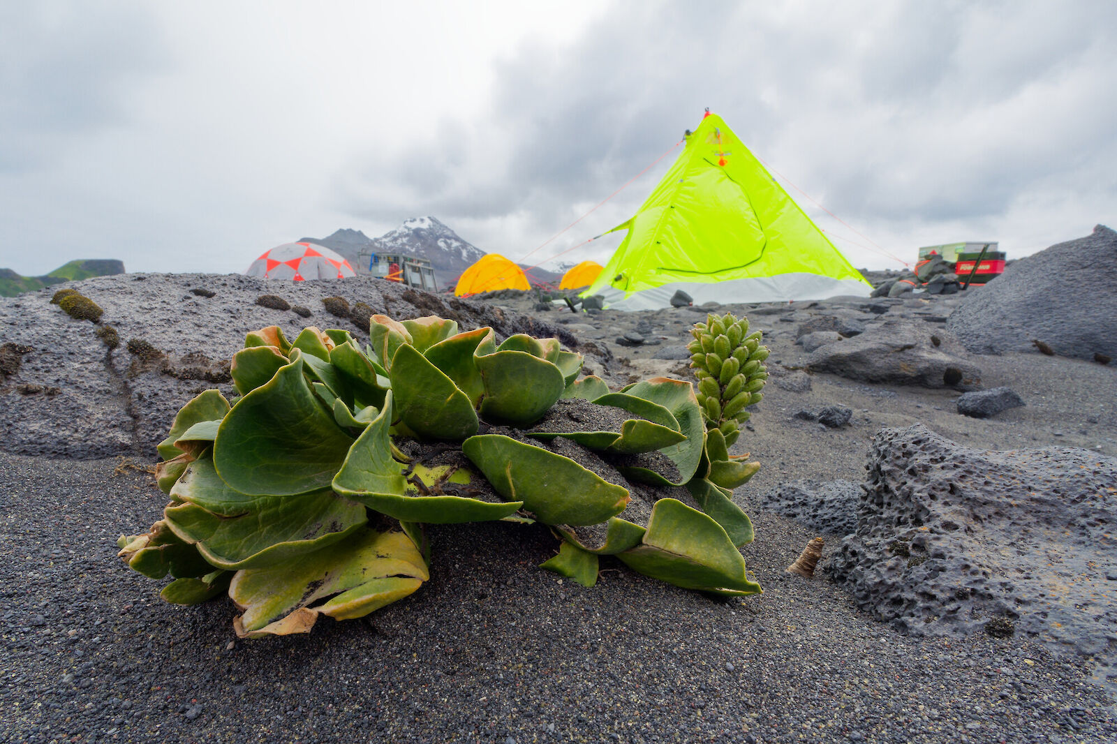
The changing extent and distribution of vegetation on sub-Antarctic islands is considered to be an environmental indicator that will provide insights into the terrestrial effects of regional climate change.
Vegetation mapping research has been carried out on Heard island over a number of years, including aerial photographs taken in 1980 and in 1986/87, ground control points surveyed using a global positioning system (GPS) in 2000/01 and 2003/04, oblique aerial photographs from 1987, field-based vegetation maps from 1986/87 and 1987/88, high resolution satellite images from 2003 and most recently over two visits in the 2025-26 HIMI Campaign.
The most recent visit used imagery from satellites, drones and ground surveys to acquire data that will allow researchers to understand the nature and distribution of endemic plants on the island and through comparisons with historical data, understand how vegetation is changing and why. The recent research also surveyed the only invasive plant know to be on the island – Poa annua - to help understand the current distribution of this species.
This research will be used to improve our understanding of the current state and nature of the HIMI environment, identify change trajectories and support and inform ongoing management of the HIMI reserve.