
The extreme and hostile climate and irregular visitation of Heard Island has made operating a traditional tide gauge practically impossible. Past tide gauge deployments have been either brief, lost, or destroyed. The longest record held by the National Tidal Unit before the HIMI campaign was 50 days in 1986-87 and the most recent record just 1 day in 1997.
This data deficit in an already sparse area of observations presents risks for navigational safety, difficulties for determining the height of reference levels, and inability to monitor changes in sea level - including sea level rise, tidal patterns, and storm surges. These are important for Australia's national interests, global observing systems, and for conserving the World Heritage values of Heard and McDonald Islands
During Voyage 1 in October 2025, an advanced technology for observing sea level was installed at Magnet Point, called GNSS-IR (Global Navigational Satellite System - Interferometric Reflectometry). The technology makes use of multipath interference to indirectly measure sea surface height from positioning satellite signals. At the same time, the system tracks movement of the land due to geological processes related to tectonic motion and to active volcanism.
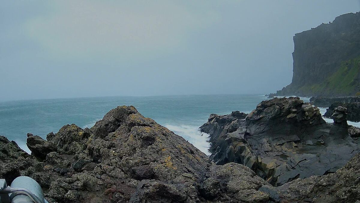
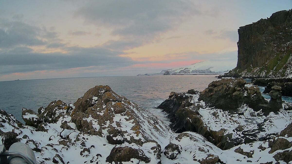
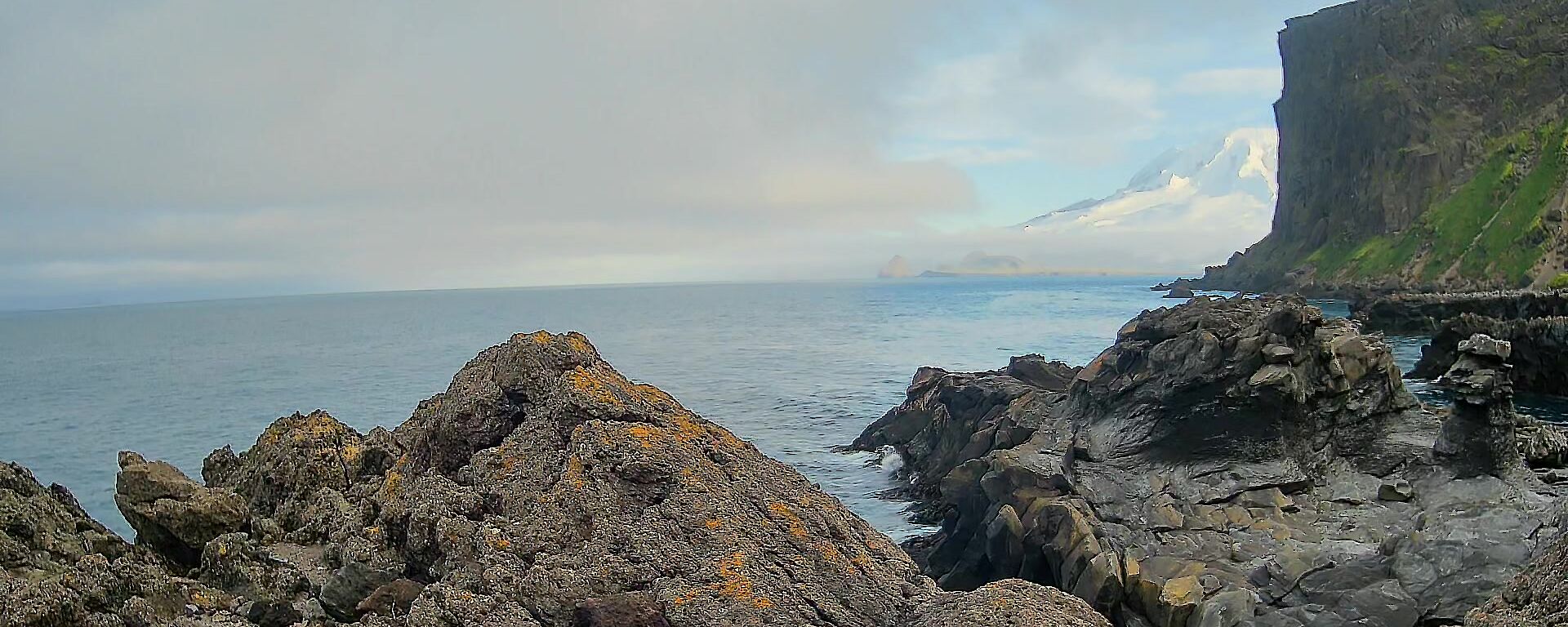
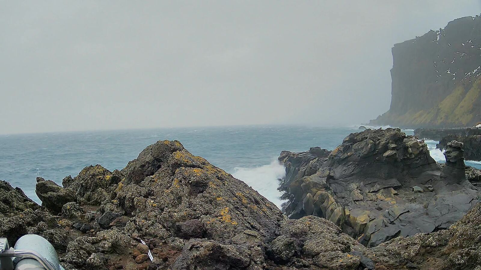
Along with observations of sea level and land motion, an Automatic Weather System and rugged camera captures climate conditions, contributing to an improved understanding of climate change and its effects on Southern Ocean ecosystems, and the threats posed to historical values by storm surges and sea-level rise.
Located at Magnet Point on the northern end of the island, weather observations over the first year show that the air temperature has ranged from -7.5 to 11.9°C with a mean of 1.33°C. The barometric pressure ranged from 950 to 1033 hPa with a mean of 997 hPa. The maximum wind speed was recorded on 14 March 2026 at 174 kph.