
Knowing which areas are highly productive or species rich is important in understanding the Heard Island and McDonald Islands (HIMI) ecosystem and in managing fisheries and conserving habitats.
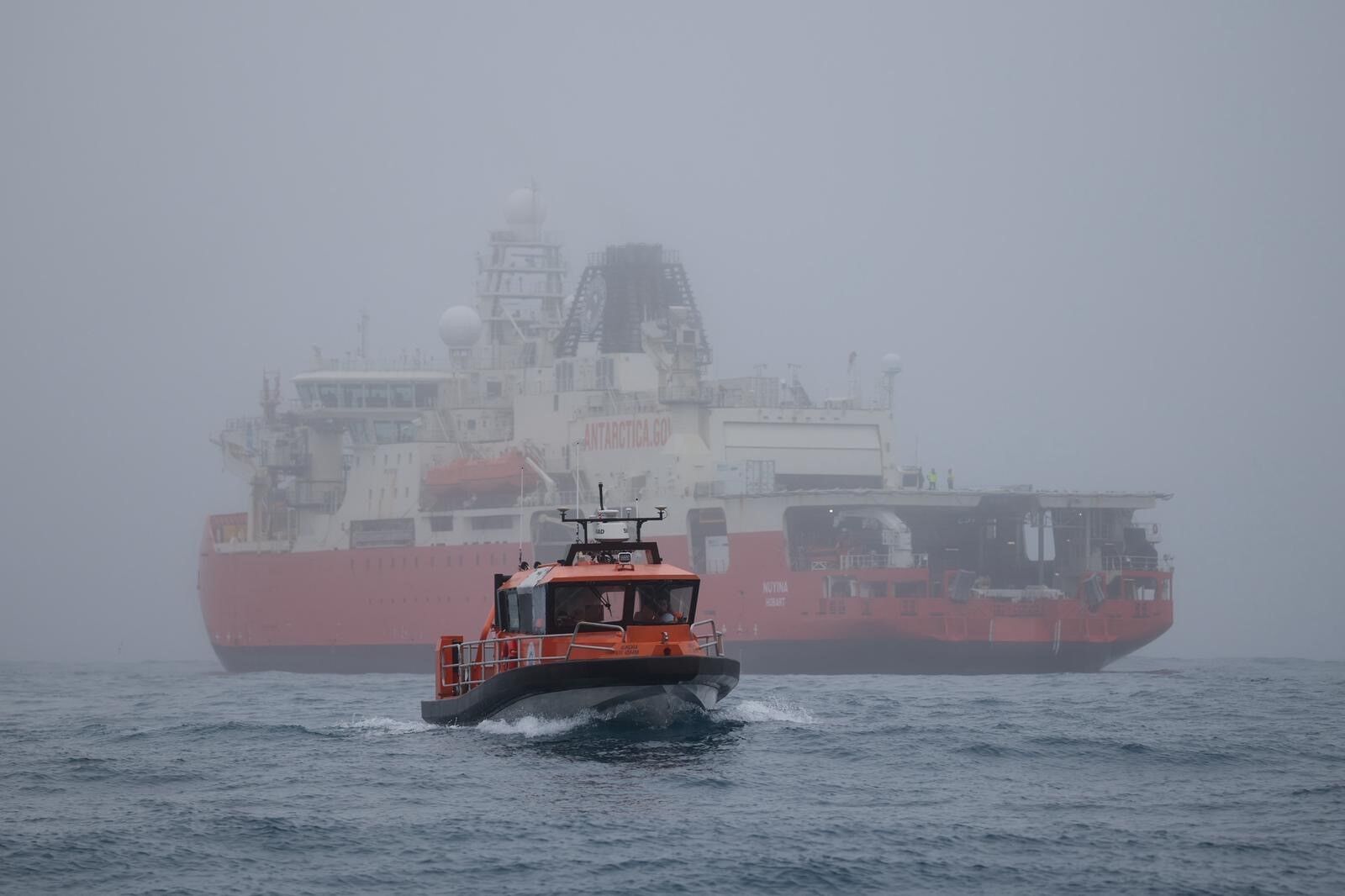
Oceanographic research was conducted as part of the multi-disciplinary voyage to the waters around Heard Island during the summers of 2003–04 and 2025-26.
The aim of this research was to:
- describe the physical features of the system such as fronts, currents and eddies
- determine the spatial and temporal variation of these features
- investigate linkages between the distribution and abundance of primary and secondary production
- map the bathymetric profiles of the sea floor where possible.
A range of instruments were used to sample various water properties. Currents were measured with an acoustic doppler current profiler (ADCP) mounted on the ship’s hull. A CTD (conductivity-temperature-depth) instrument was deployed 42 times in 2003-04 to measure salinity, temperature and depth from the surface to the sea floor. Water samples were also taken at regular depths during this voyage, and later analysed for their oxygen and nutrient content and filtered to determine the abundance of phytoplankton.