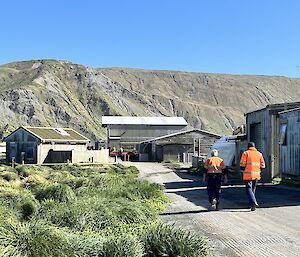
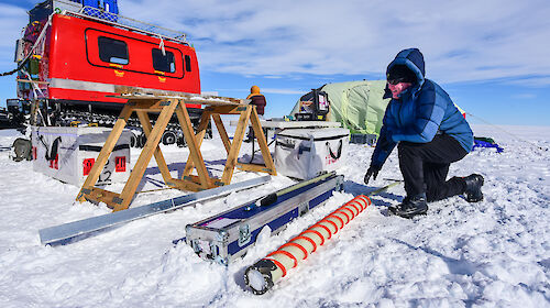
Environmental toxicologist Dr Catherine King said the majority of spills on the island were from light diesel, known as Special Antarctic Blend (SAB), used for power generation since the early 1980s.
“SAB contains a range of hydrocarbons [the building blocks of fuel] that are toxic to organisms, but their toxicity varies depending on the type of soil – whether it’s sandy or peaty – and how old and degraded the fuel is,” she said.
“Toxicity can affect things like reproduction and survival in invertebrates, seed germination and plant growth, and the makeup of soil microbial communities and their ability to perform critical soil functions, like nitrogen cycling.”
Dr King said the team identified a representative subset of species, communities and soil processes that provided ecologically useful sensitivity information in toxicity tests.
These were then used in statistical models to identify fuel concentrations that protect 80, 90 and 95 per cent of sub-Antarctic species, communities and soil functionality across different soil types.
“We found that concentrations less than 97 mg/kg of contaminating fuel in soil are predicted to be protective of 80 per cent of species and functions," Dr King said.
“We recommend this as the guideline value to use when assessing environmental risk of highly disturbed sites within the station footprint.
“We also derived lower target concentrations that may be more relevant for pristine areas away from the station, or for other sub-Antarctic islands with high conservation values.”
The research is the only work of its kind in, and for, sub-Antarctica.
Dr King said the work had to be adapted from Australian methodology for developing environmental quality guidelines, given the very different suite of organisms, environmental conditions and available resources on Macquarie Island.
“These guidelines can now be applied across the remediated sites on Macquarie Island to determine whether residual contamination remains at a level that is likely to pose a risk to the environment,” Dr King said.
“They can be used by the Tasmanian Government and the Australian Antarctic Division to inform ongoing management of sites at Macquarie Island.
“They’re also suitable for broader use, to inform management of fuel contaminated sites across the sub-Antarctic region, including Heard Island, and areas in the Antarctic Peninsula.”
The research was published today in Integrated Environmental Assessment and Management.

