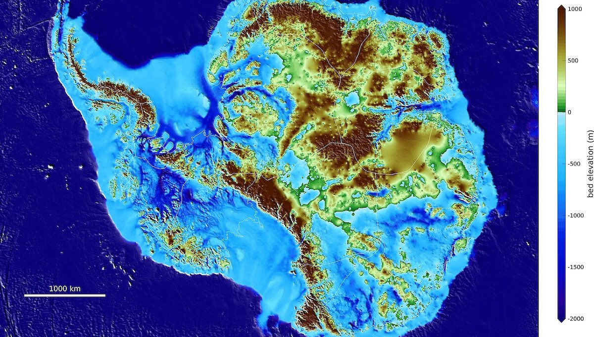

An international team of glaciologists has revealed the most accurate portrait yet of the contours of the land beneath Antarctica’s ice sheet.
The Antarctic topographic map, called BedMachine, and its related information, has helped identify which regions of the continent are going to be more, or less, vulnerable to future climate warming.
Among the most striking results of the research, led by the University of California (UCI), Irvine, are the discovery of stabilizing ridges that protect the ice flowing across the Transantarctic Mountains; bedrock geometry that increases the risk of rapid ice retreat from the Thwaites and Pine Island glaciers in West Antarctica; and the and the world’s deepest land canyon below Denman Glacier in East Antarctica.
UCI Associate Professor of Earth system science, Mathieu Morlighem, and lead author of the research, published today in Nature Geoscience, said there were a lot of surprises around the continent, especially in regions that had not been previously mapped in detail.
“Using BedMachine to zoom into particular sectors of Antarctica, you find essential details such as bumps and hollows in the bedrock beneath the ice that may accelerate, slow down or even temporarily stop the retreat of glaciers,” he said.
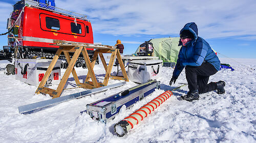
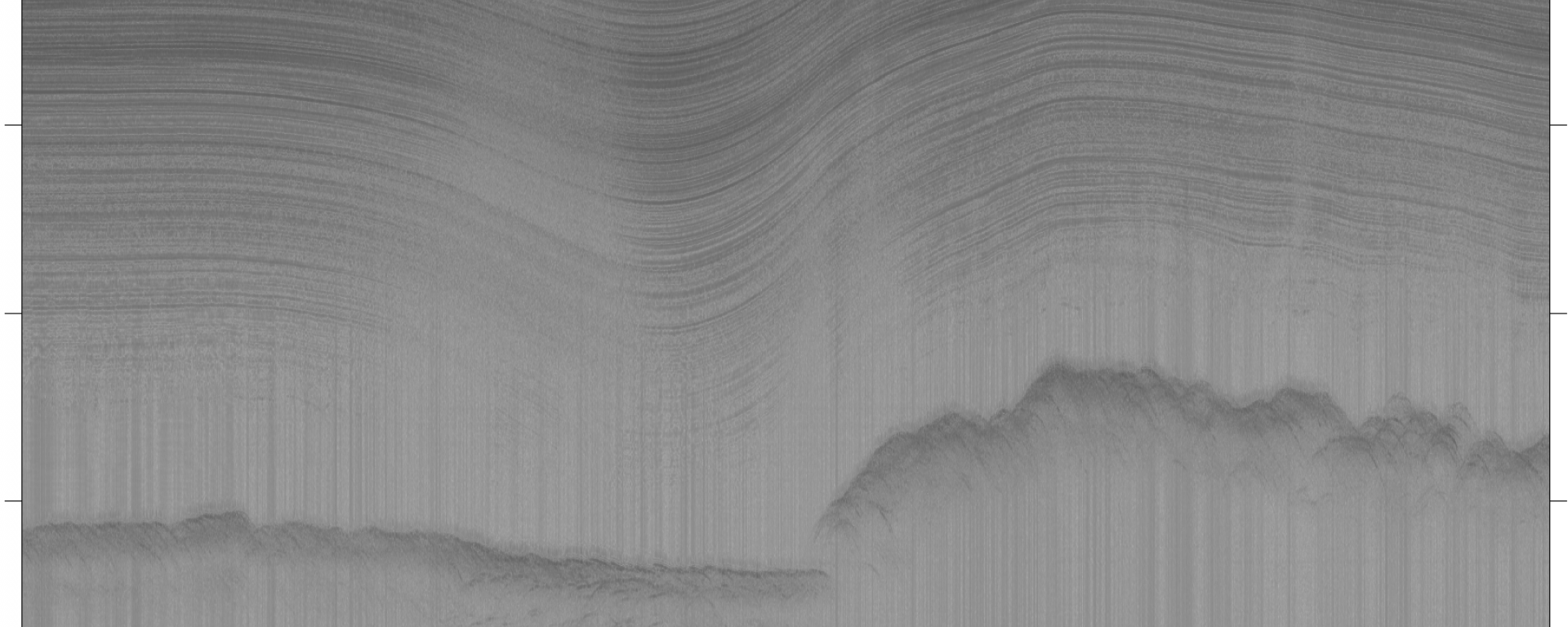
The new bedrock topography map was constructed using ice thickness data from 19 different research institutes dating back to 1967, encompassing nearly a million line-miles of radar soundings (which penetrate the ice sheet to reveal its thickness, and the bedrock contours below). BedMachine’s creators also used ice shelf bathymetry (depth) measurements from NASA’s Operation IceBridge campaigns, as well as seismic information.
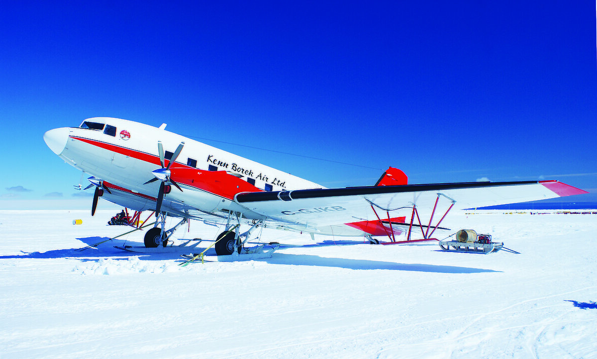
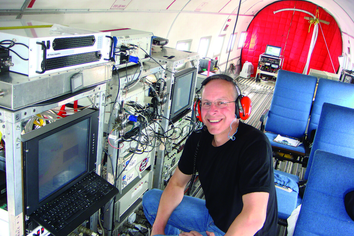
Australian Antarctic Division glaciologists and co-authors of the research paper, Dr Tas van Ommen and Dr Jason Roberts, were among a number of Australian contributors to BedMachine, through over a decade of flights for the ICECAP project. With partners from the US, UK and France, ICECAP used airborne radar to map large swathes of East Antarctica, exploring critical areas such as the Totten Glacier, near Casey research station, and the deep canyon of the Denman Glacier, which extends to around 3500 metres below sea level.
“BedMachine is a major step forward in refining the fine-scale topography hidden beneath the ice sheet, so that we can better model how it will respond to warming, and reduce the uncertainty in sea level rise projections,” Dr van Ommen said.
BedMachine works by estimating bedrock topography between radar sounding lines. To do this, it uses detailed information on ice flow motion from satellite data that dictates how ice moves around the varied contours of the bedrock.
The BedMachine Antarctica project was supported by NASA’s Cryospheric Sciences Program, the U.S. National Science Foundation, the Australian government’s Cooperative Research Centres Programme and the National Natural Science Foundation of China, with participation from NASA’s Jet Propulsion Laboratory, the Alfred Wegener Institute, the University of Texas Institute for Geophysics, the British Antarctic Survey, the Technical University of Denmark, Northumbria University, the Polar Research Institute of China, The Ohio State University, the Geological Survey of Denmark and Greenland, the Korea Polar Research Institute, the Institute for Marine and Atmospheric Research at Utrecht University, the Norwegian Polar Institute, Grenoble Alps University, the NSF’s Center for Remote Sensing of Ice Sheets, the Université Libre de Bruxelles and the Australian Antarctic Division.
BedMachine Antarctica is publicly available through the National Snow and Ice Data Center in Boulder, Colorado.