
Each year on 23 March the World Meteorological Organization (WMO), its 189 Members, and the worldwide meteorological community celebrate World Meteorological Day around a chosen theme. The day commemorates the entry into force of the WMO Convention, creating the Organization, on 23 March 1950. This year the theme is ‘Climate for you’.
Over the past 35 years the WMO has worked to raise awareness of human impacts on natural climate variability and change. Its Global Climate Observing System brings together the work of many observation networks for land, air and sea. The Australian Antarctic Division contributes to this system through the WMO co-sponsored World Climate Research Program. Our expertise lies in the collection, analysis and interpretation of data on Antarctic ice sheets, sea ice, ice cores and atmosphere, and Southern Ocean biology and oceanography.
Highlights of our climate research include:
Ice sheets
Australia has collected data on ice flow, ice thickness and other ice sheet characteristics in East Antarctica for over 50 years. These data allow researchers to calibrate and validate new satellite measurements of the ice sheet and to develop models used to project the ice sheet’s response to climate change.
Ice cores
Australia’s research has focussed on ice cores from Law Dome in East Antarctica. In 1993 a 1200m-long ice core was extracted, containing a 90,000-year climate record. This core showed a rise in carbon dioxide coinciding with the start of the Industrial Revolution. The ice core also contributed to research that found that there has been no significant change in Antarctic snowfall over 50 years. Scientists now aim to extract a 1 million year old ice core in the coming decade. The work will help them better understand observed climate changes in Australia, Antarctica and the Southern Hemisphere
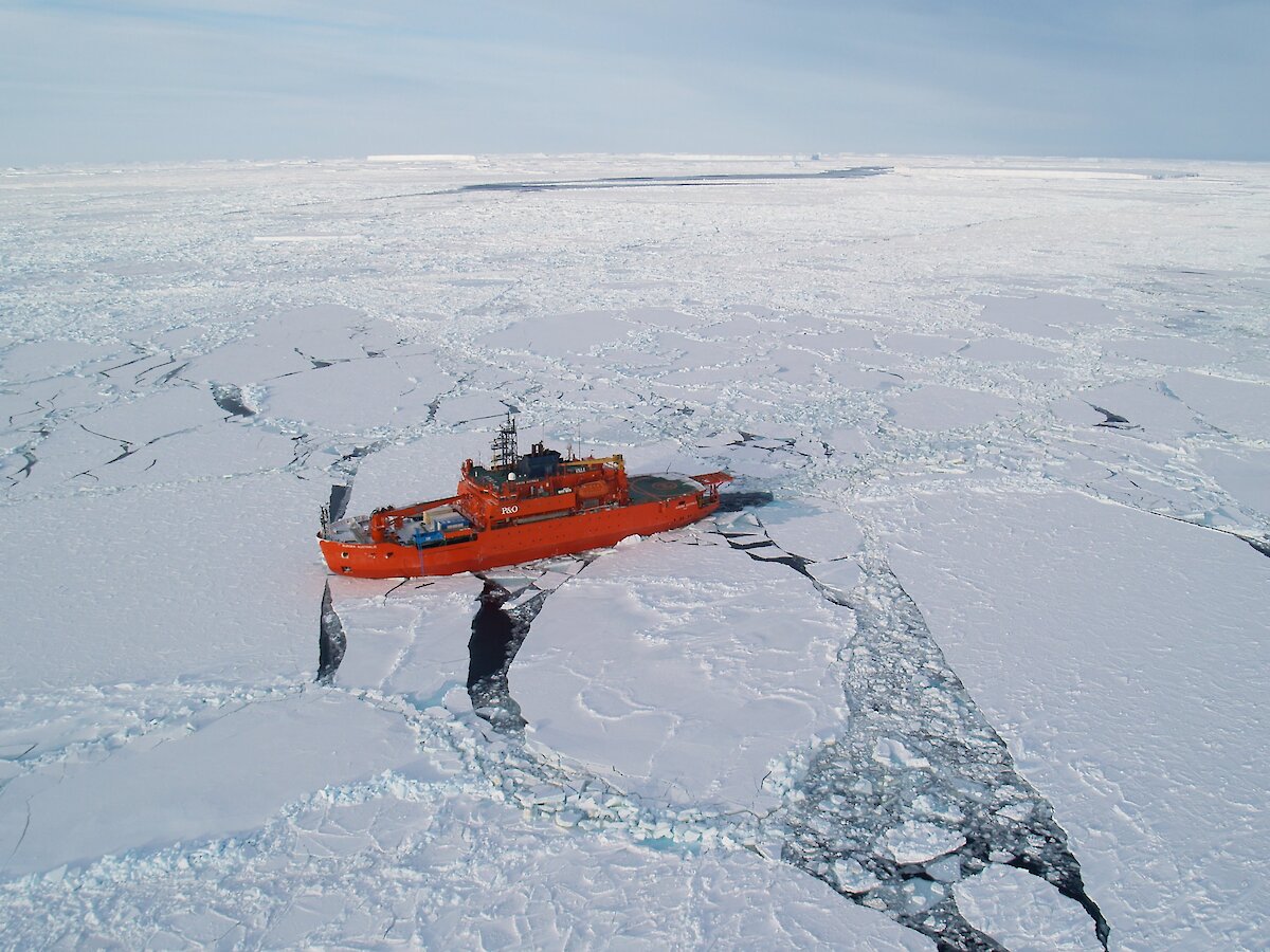
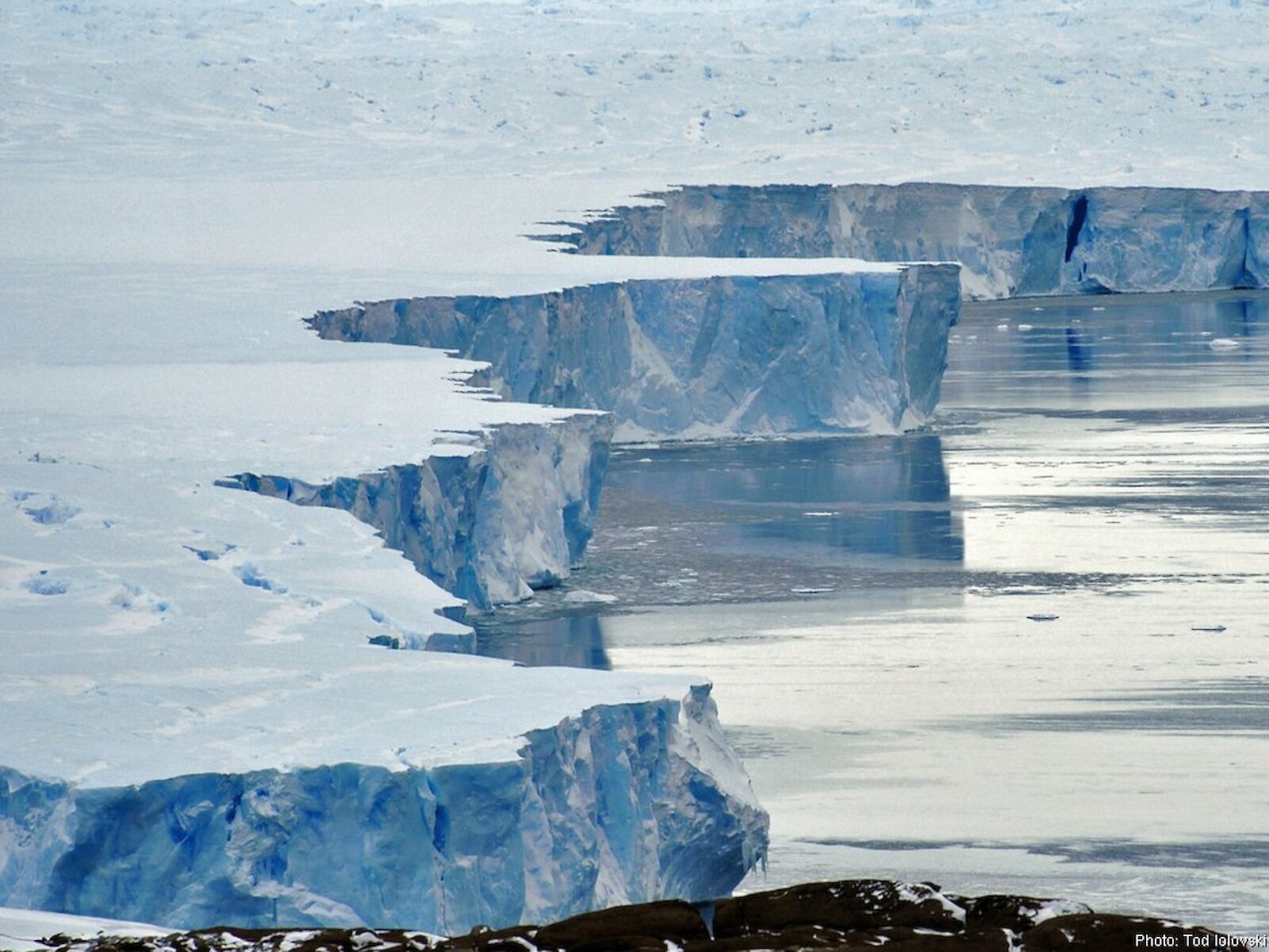
Sea ice
Australia has 20 years of ship-based sea ice thickness measurements, which provide data for climate models and a baseline against which to measure future change. These in situ sea ice measurements are used to validate local satellite measurements and improve the instruments and techniques used to make these measurements. For example, Australian sea ice observations are being used by NASA and the European Space Agency to validate and develop satellite algorithms. As satellite measurements become more accurate they will be used to measure sea ice (and any changes) on a large scale.
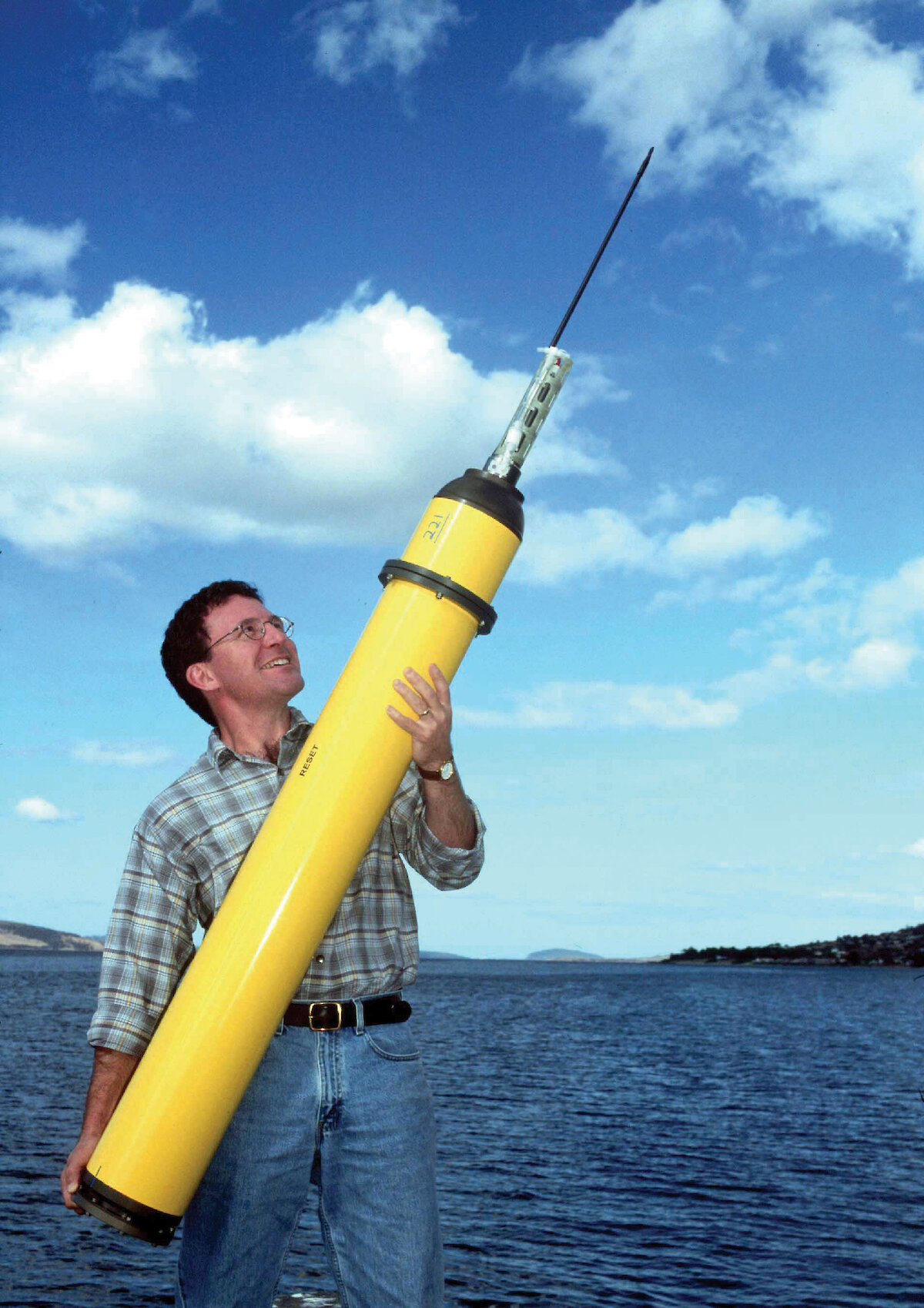
Southern Ocean
Australian researchers have repeatedly sampled water from specific regions of the Southern Ocean to examine chemical properties, such as temperature and salinity, and physical attributes such as currents and the vertical movement of water. The rate at which water is transferred from the sea surface to the deep ocean determines how much heat and carbon dioxide the ocean can store and therefore regulates the rate and magnitude of climate change.
Scientists have identified the major pathways involved in the movement of water around Antarctica and between the world’s oceans. The work has contributed to improved climate change projections through new models that reproduce the mixing of water bodies and their effect on surface warming.
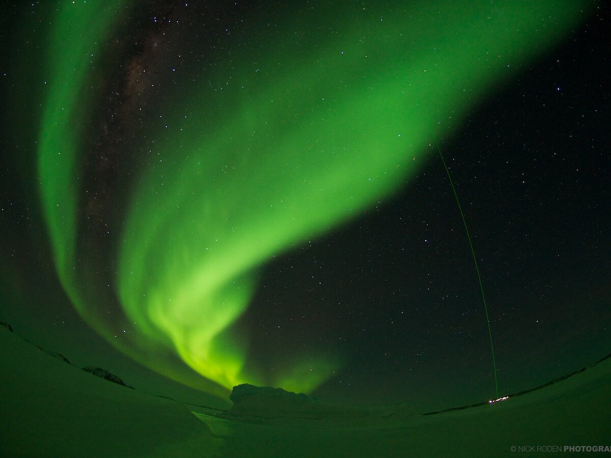
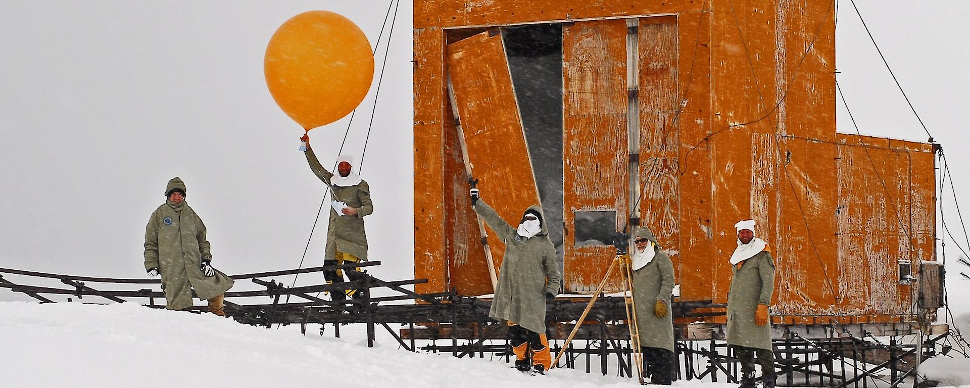
Atmosphere
Australia has been collecting weather data in Antarctica since 1947. Australia’s Casey, Davis and Mawson stations maintain an upper air observational program using weather balloons. These observations provide data for research into Antarctic and global climate, and for assimilation by global and regional Numerical Weather Prediction systems, used by global and regional forecasters. The three stations are part of the WMO Global Upper Air Network.
Automatic weather stations at remote sites of the Australian Antarctic Territory also provide data for the interpretation of climate data locked in ice cores, and for studies into surface wind processes over the ice sheet. Radar and LIDAR instruments are used to study atmospheric phenomena that contribute to ozone depletion and also act as early warning indicators of climate change.