
An international team has shed new light on what lies beneath a large slice of the East Antarctic ice sheet. The research reveals a vast, smooth and deep bedrock basin, reaching more than a kilometre below sea level, bordered by rugged mountain ranges which are cut by broad valleys. Interpreting this buried landscape has brought new insights into the early development of the Antarctic ice sheet.
The research, by scientists including those from the Australian Antarctic Division and the Antarctic Climate and Ecosystems Cooperative Research Centre (ACE CRC), was published today in the journal Nature. This important scientific paper illuminates a 20-million-year period of repeated growth and retreat of the ice sheet following initial Antarctic glaciation around 34 million years ago. It shows a geological connection with past climate changes, helps us understand how climate and the ice sheet interact, and connects the ice with changes in past and perhaps future sea level.
The paper is focused on a key geological feature in East Antarctica, the Aurora Subglacial Basin (ASB). This extends more than 1000 kilometres inland from Australia’s Casey Station and is overlain by some of the thickest ice in Antarctica, While scientists knew of its existence from Australian ground survey work in the 1970s, this project, called ICECAP, has provided the first detailed understanding of the early development of the ice sheet that now fills the basin.
“We're seeing what the ice sheet looked like at a time when Earth was much warmer than today,” said Duncan Young, research scientist at the University of Texas at Austin’s Institute for Geophysics and lead author of the paper. “Back then it was very dynamic, with significant surface melting. Today, the ice sheet is a bit more well behaved.”
However, satellites have recently detected thinning of the Aurora Basin’s major outlet glacier near the coast, raising concerns about this sector of Antarctica in a warming climate.
Accurate maps of regions like the ASB where the ice sheet rests on bedrock below sea-level are important for computer models predicting ice sheet changes and future sea level rise. One of the Australian authors, glaciologist Roland Warner, said the bedrock of this area had been poorly known until now. “We knew more about the surface of Mars than about this part of our own planet.”
The new research shows the full extent of the basin, bounded on the East and West by sharp mountain ranges. “The most exciting discovery is that these mountains are cut through by very wide, deep, smooth fjords sculpted by ice,” Dr Warner said.
“We know from sea sediment records that sea levels varied during this period (34–14 million years ago) and it is likely that these massive fjords were excavated by several episodes as the ice sheets advanced through the basin to the continental margins and retreated back to the high central subglacial mountains of East Antarctica.”
The paper, with authors from Australia, the UK and the US, is the first major product from the ICECAP project — a collaboration begun in 2007 aimed at exploring the little-known ice thickness and bedrock properties of East Antarctica.
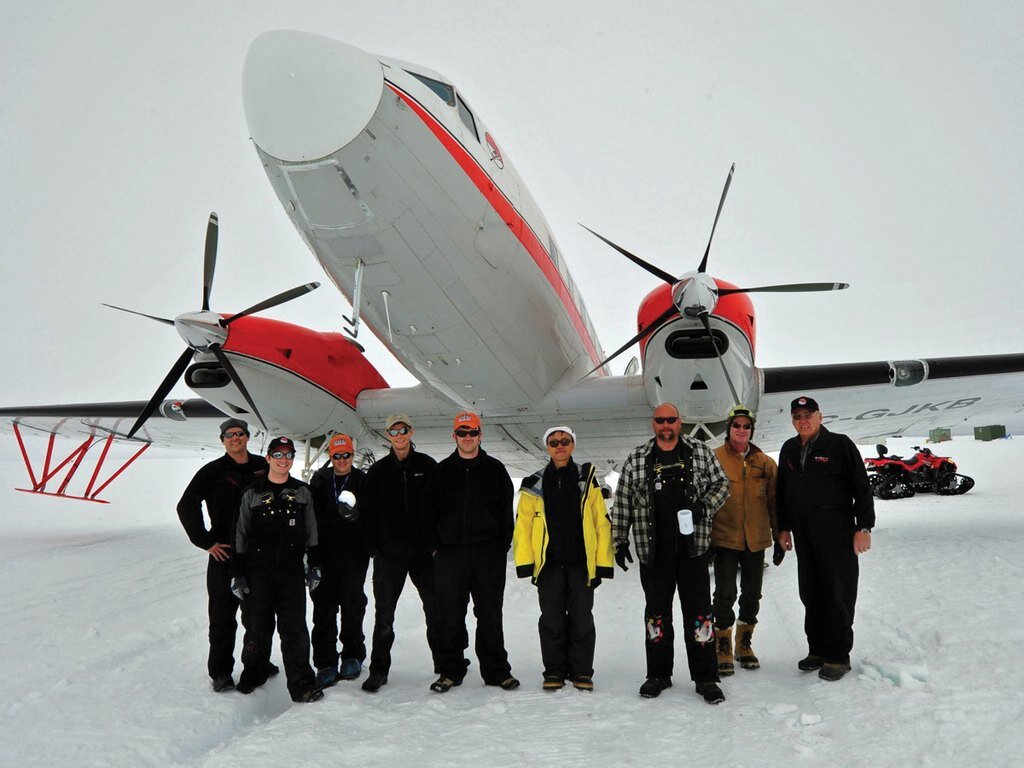
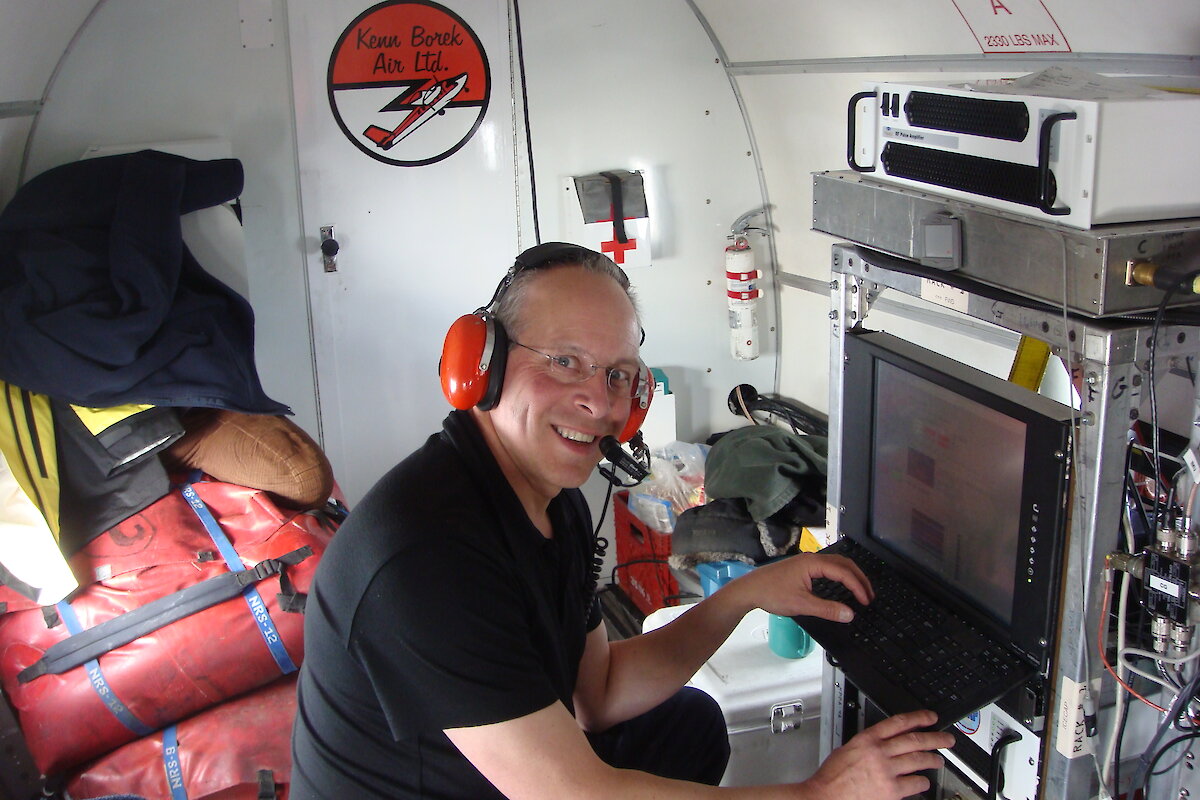
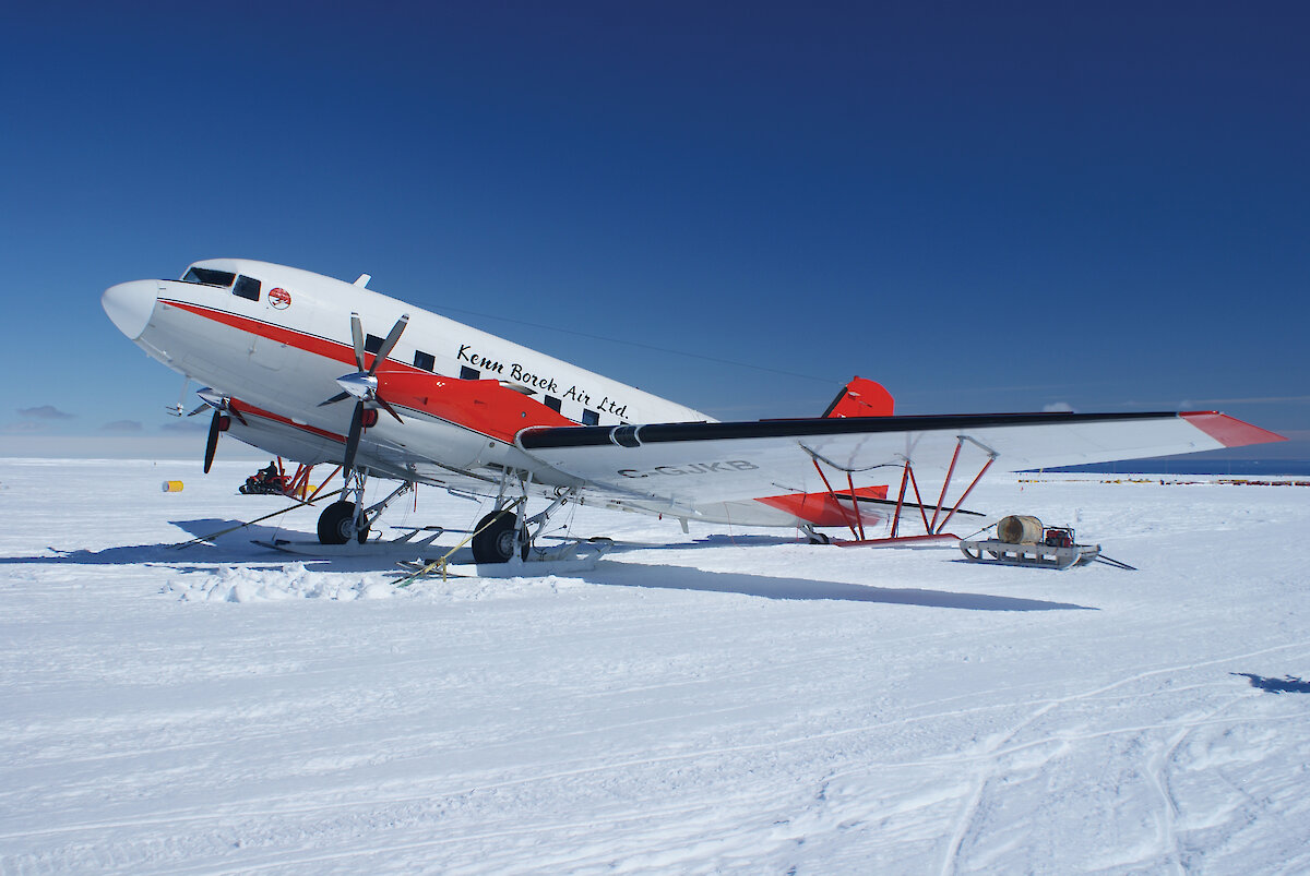
In the Antarctic field seasons of 2008–9 and 2009–10 scientists flew 47,000 kilometres of survey lines from Casey. The area surveyed corresponds to a semicircle centred on Sydney and stretching from Hobart, out beyond Broken Hill and up to Brisbane. High resolution ice-penetrating radar was used to capture the rock surface under the ice sheet and layers within ice up to 4.5 km thick, providing insight into bedrock conditions and past ice flow.
ICECAP stands for Investigating the Cryospheric Evolution of the Central Antarctic Plate. The Australian authors on the Nature paper are glaciologists Jason Roberts, Roland Warner, Neal Young and Tas van Ommen, all from the Australian Antarctic Division and members of the ACE CRC Cryosphere Program.