
A satellite mission to understand how the Earth’s ice is responding to climate change will receive vital data from a field team of Australian and German scientists, based at Casey station in East Antarctica, this summer.
The scientists, from the Australian Antarctic Division, the University of Tasmania and the Alfred Wegener Institute, recently completed the first series of airborne and ground-based measurements of snow and ice properties and surface topography over the Totten Glacier and Law Dome, as part of the European Space Agency’s satellite mission, CryoSat-2.
These air and ground-based measurements, made using similar instruments to those onboard the satellite, will be compared with the CryoSat-2 measurements to ensure the satellite measurements are as accurate as possible.
“CryoSat-2’s primary instrument, the Synthetic Aperture Interferometric Radar Altimeter (SIRAL) is designed to precisely observe the elevation of polar ice, even over the coastal margins of the ice sheet where the complex topography and steep surface slopes make accurate observations difficult,” says team leader Dr Christopher Watson, of the School of Geography and Environmental Studies at the University of Tasmania.
“These coastal regions are critically important for understanding how the ice sheet responds to a changing climate. So to validate the satellite measurements over the coastal margins we’re surveying Law Dome, which has stable, yet comparatively steep surface slopes, and the Totten Glacier, which is experiencing significant surface lowering, most probably as a result of changes in the interaction of the ocean with the ice.”
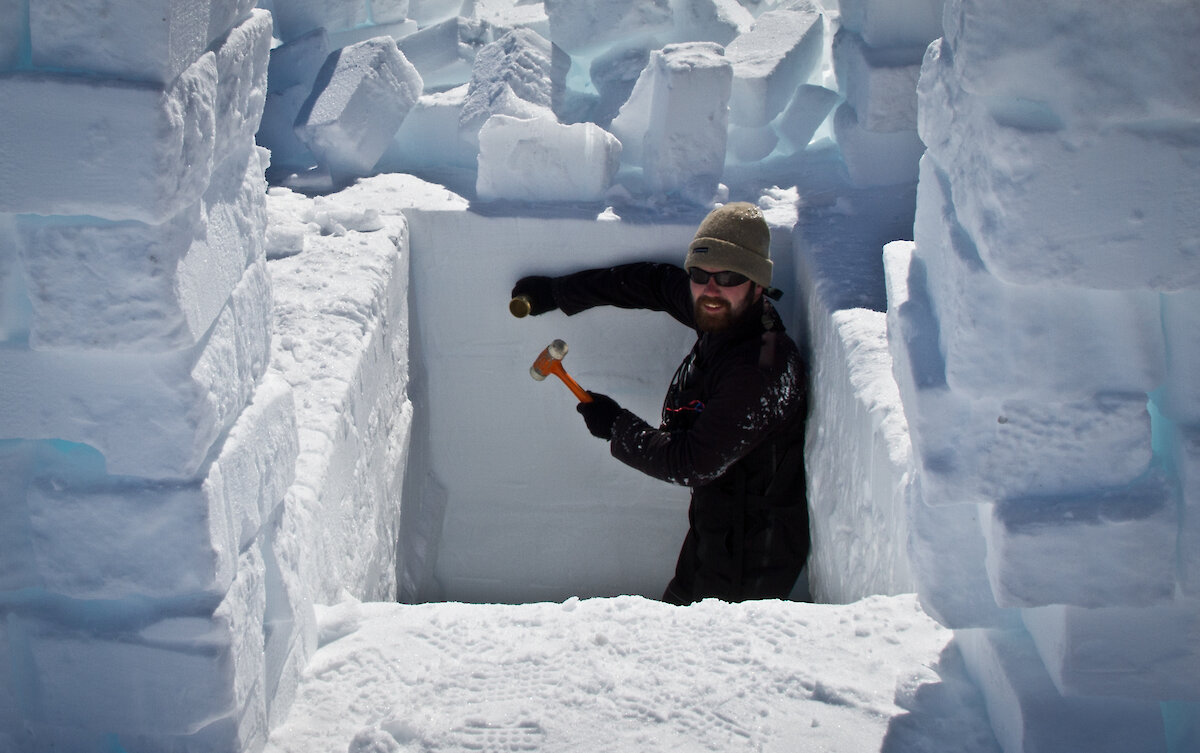
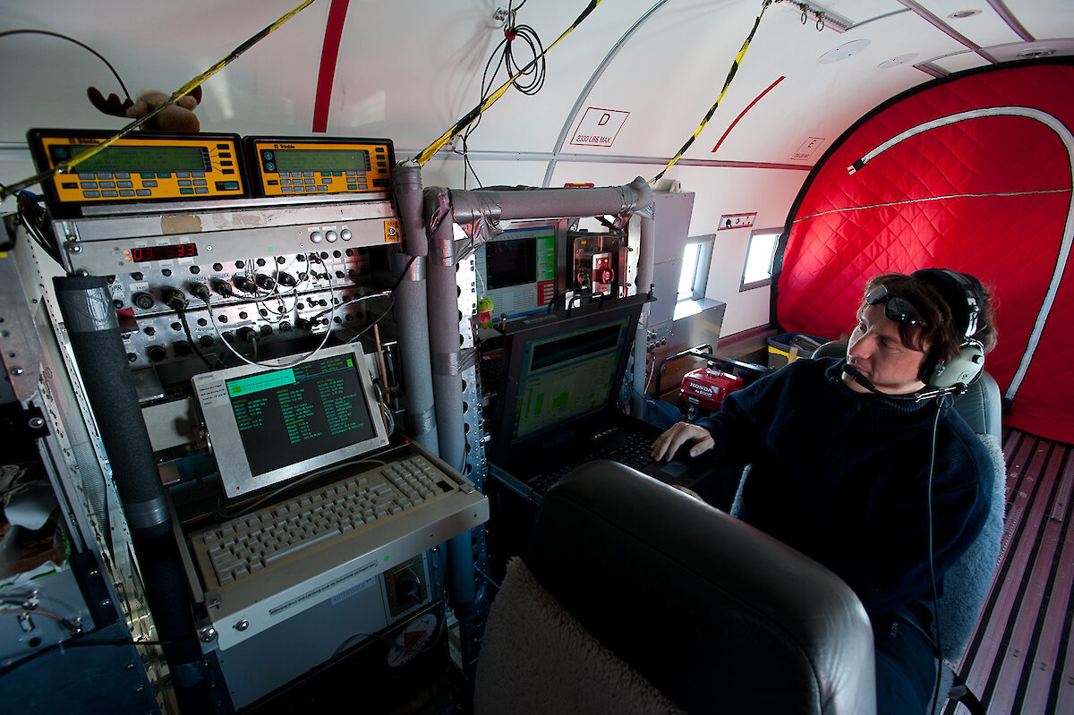
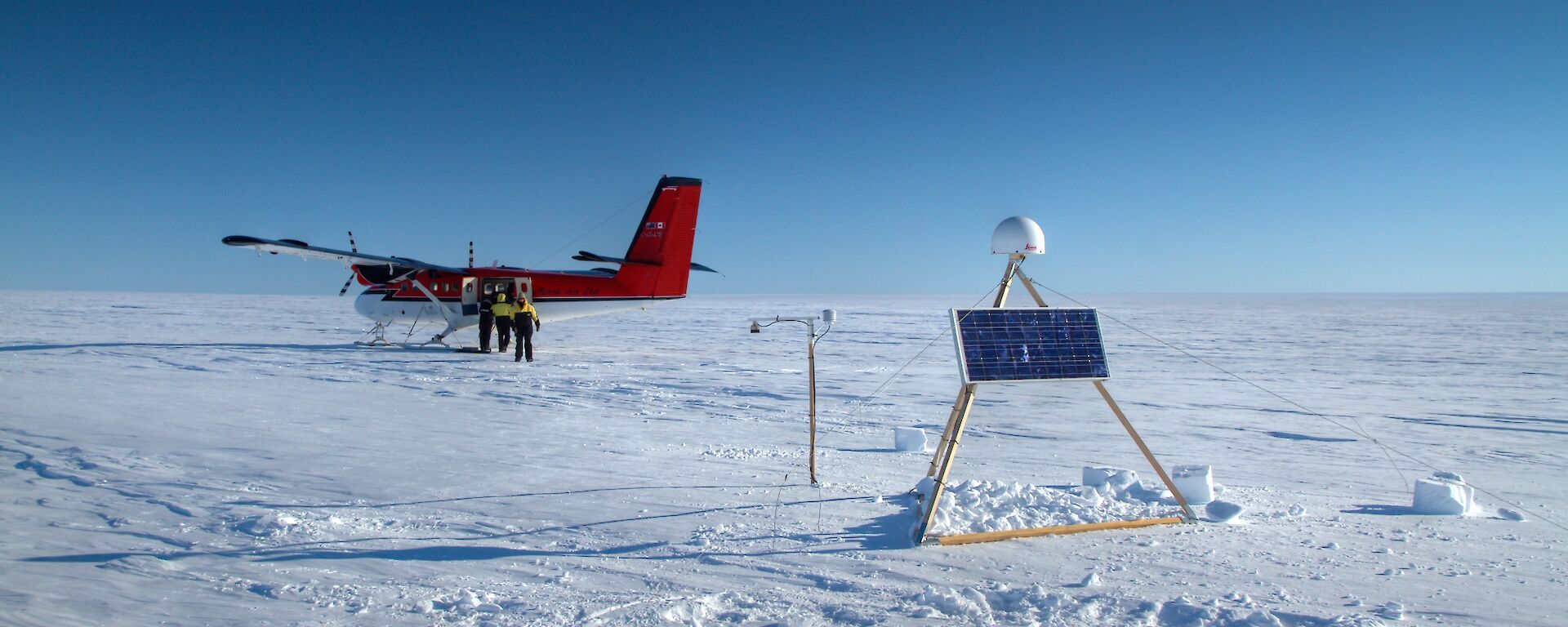
The field team undertook four days of airborne surveys using the Alfred Wegener Institute’s Polar-6 aircraft, and a series of ground-based measurements of surface topography and snow and ice properties.
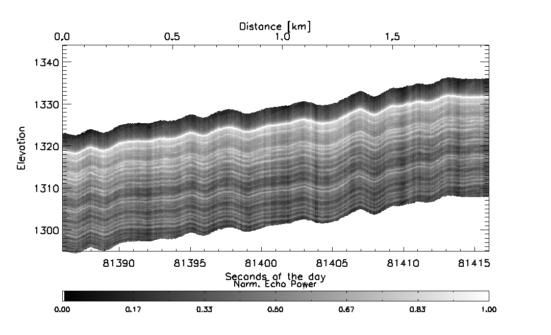
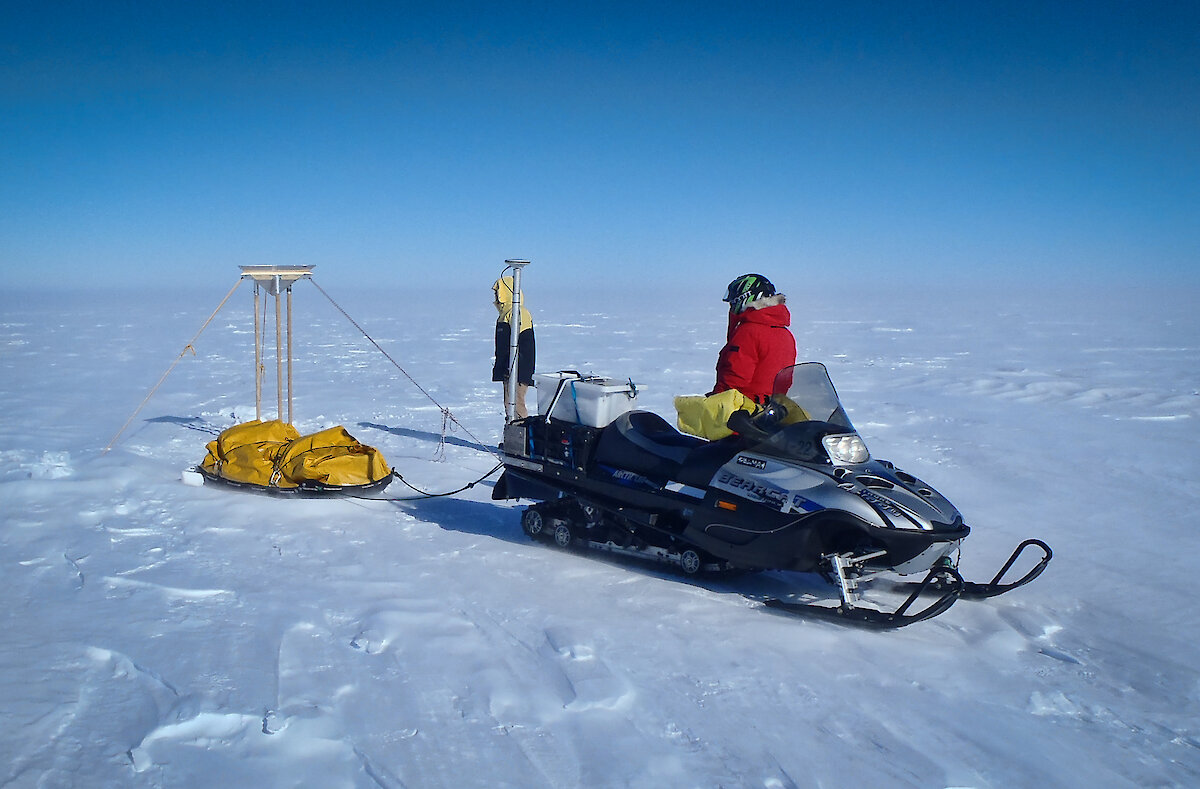
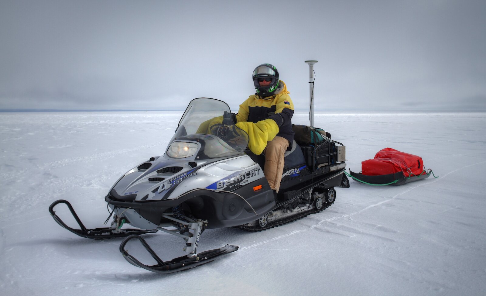
The aircraft used a scanning laser instrument and a radar altimeter, similar to the CryoSat-2 SIRAL, to measure the ice topography and sense changes in the density of the snow and ice. On the ground, the team used skidoos to gather ground measurements over about 250km of survey transects. The skidoos were equipped with a Global Positioning System to map the height of the ice, which will be compared to the aircraft and satellite measurements.
“These experiments examine the influence that physical properties of the top snow and ice layer have on the radar signal that CryoSat-2 emits and receives,” says Dr Veit Helm from the Alfred Wegener Institute.
“Depending on factors such as snow particle size, the extent to which it has compacted and how it is layered, the radar signal can penetrate deeper into the surface, and so is reflected differently.
“If we ignore these factors in the data, it may result in misinterpretations and less accurate maps of the changing Antarctic surface.”
Further ground-based measurements will be made over the Totten Glacier this season to investigate tidal behaviour and the vertical and horizontal motion of the ice. These will help scientists understand the ice dynamics of the region.