

The devastating Victorian bushfires in February have produced unprecedented effects on the atmosphere of the Southern Hemisphere.
As revealed by satellite measurements, smoke from the fires penetrated into the stratosphere and dispersed over a wide geographical area. This phenomenon was captured by NASA’s CALIPSO (Cloud-Aerosol Lidar and Infrared Pathfinder Satellite Observation).
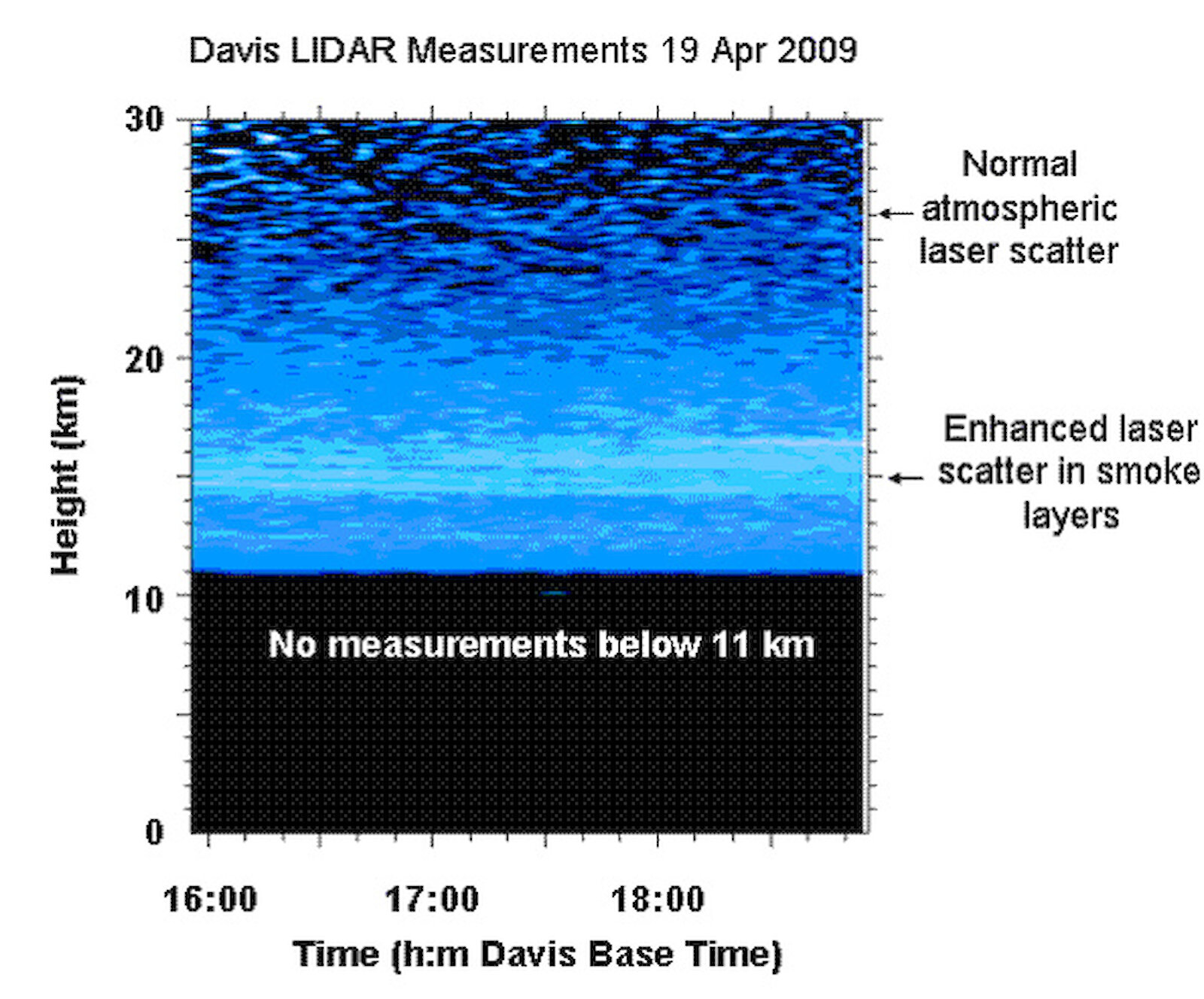
Since late February, the Australian Antarctic Division’s atmospheric LIDAR (Light Detection And Ranging) instrument at Davis station has detected the smoke between altitudes of 14 km and 20 km.
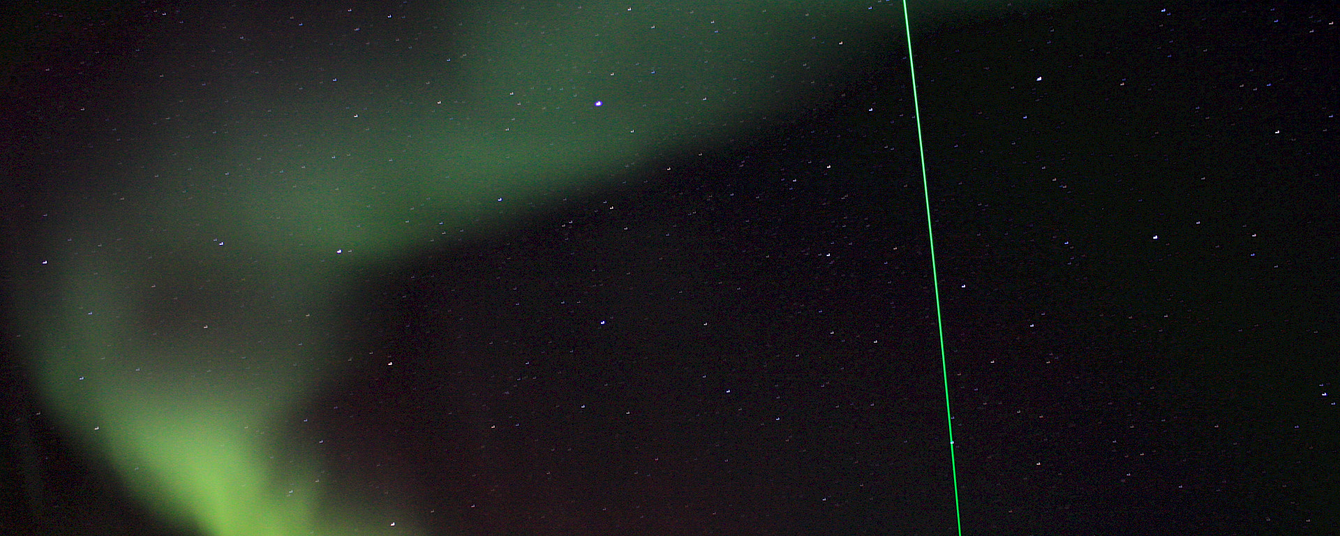
The blue graphic at right shows thin layers in the lower stratosphere that were illuminated by the LIDAR’s green laser beam.
The smoke layer has also been detected by LIDAR instruments in Brazil and at Dumont d'Urville in Antarctica.
What are the impacts of the smoke layer?
Together with collaborators at the US Naval Research Laboratory and other LIDAR sites, scientists and researchers from AAD’s Ice Oceans Atmosphere and Climate (IOAC) section are gathering data on the layer to understand its dispersal and climate effects.
The smoke particles act as nucleation sites promoting the growth of sulphuric acid droplets. These droplets are likely to have a small effect on the climate at high altitudes, either by warming or cooling the atmosphere (which depends on the size of the droplets), and by producing chemical reactions that will ultimately result in loss of stratospheric ozone.