


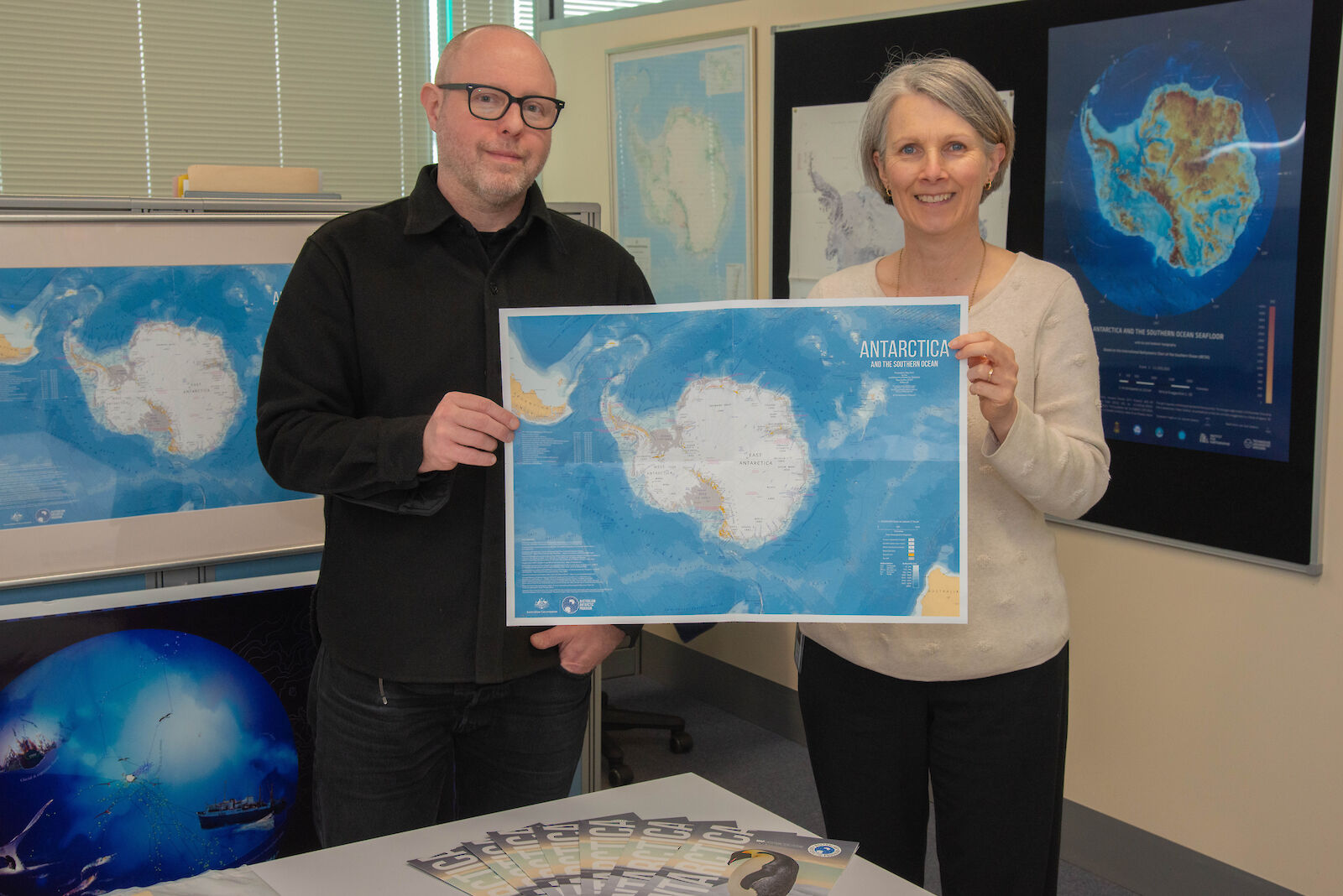
“Previous editions were made photographically or more recently in a graphics package. Edition Ten is very different because we’ve done the whole thing in our Geographical Information System (GIS),” said AAD’s Mapping and Spatial Data Manager Ursula Harris.
This additional functionality provides the team with more flexibility around not only the look of the map but also its purpose.
“Unlike earlier editions, we can play with colours and fonts, or add additional data sets such as CCAMLR (Commission for the Conservation of Antarctic Marine Living Resources) boundaries and re-publish it as a different map,” she said.
AAD Mapping Officer Richard Mazurek said that the GIS software enabled the map to “integrate a number of disparate data sets, from more sources than ever before.”
“The background of the Antarctic continent is a combination of two data sets. We took the latest REMA data (Reference Elevation Model of Antarctica) and underlaid that with LIMA imagery (Landsat Image Mosaic of Antarctica).”
The process of shading contours can now be completed digitally in the GIS, rather than by hand.
“One of the tools we have allows us to effectively move the sun around and see what set of shadows looks best, to efficiently tease out the best looking surface for the map,” said Mr Mazurek.
Ms Harris said that the new map aims to meet the requirements of the draft International Principles and Procedures for Place Naming in Antarctica.
“For some time our team has been working with our international colleagues to review the generic element of place names – like the type of feature, such as a lake or a ridge – in conjunction with their specific identifiers – like Adélie, for example,” she said.
“When we get a name from another country we keep the specific identifier but we translate the generic name into English. So you will notice on our map that the French name Terre Adélie is translated to Adélie Land.”
“The map has a very broad audience and will be widely distributed including internationally, so it is important that everyone understands what they are looking at.”
AAD’s Media & Communications team organised the production of the map.
“It’s fantastic to have a resource that we can provide as part of our outreach that shows people the scale of Antarctica and introduces them to Australia’s role as a leader in the region,” said Engagement Lead Sachie Yasuda.