The Ice-o-pod proved to be a logistically efficient way of exploring under-ice habitats and conducting quantitative photographic surveys of sea floor communities in the Davis region. Most sites we visited during the 2019–20 summer have never been explored, and much of what we saw was unexpected, including extensive polychaete reefs.
The ROV surveys were undertaken to inform a Comprehensive Environmental Evaluation for the Davis Aerodrome Project, and were part of broader survey and sampling work of lakes, vegetation, seals and seabirds (see previous story).
The benthic marine program visited 28 sites and collected macroinvertebrates from the sea floor, sediment profiles for chemical analysis, and seawater and sediment samples for environmental DNA (eDNA). We conducted ROV surveys at 10 of these sites, which ranged from Hawker Island and Ellis Fjord in the south, to Bandits Hut in the far north of the Vestfold Hills.
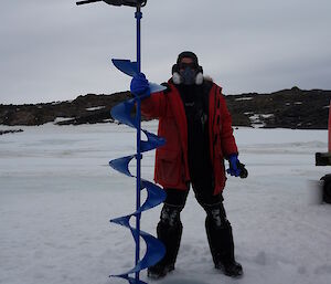
All our sites were covered by between 1.6 and 1.9 metres of sea ice, presenting one of the key challenges for Antarctic coastal marine fieldwork; getting to the water in the first place. The 35 centimetre-wide Ice-o-pod was specifically designed to fit down a 40 centimetre wide access hole, drilled through the sea ice using an easily transported posthole drill. But it was hard work, particularly after the first metre, when a second metre-long auger section had to be added. The torque generated by over 1.5 metres of auger in a sea ice hole filled with ground-up ice and slush was unbelievable. It was backbreaking work and our record of eight holes in one day isn’t one we’ll try to beat in the future.
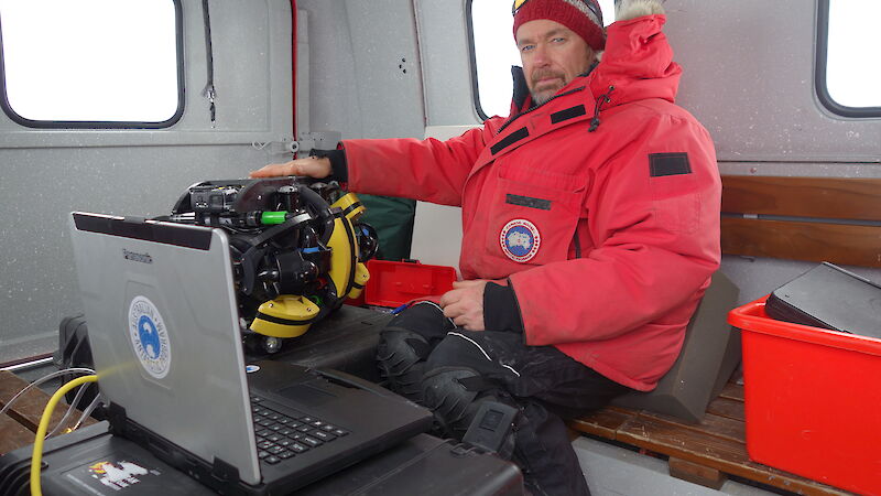
After almost an hour of ROV setup and pre-dive checks, the Ice-o-pod was attached to a 300 metre-long tether and to our control centre – a laptop and X-box game controller. These were housed on a portable table with a custom built vinyl cover to block out the high ambient light. The back of a hägglunds made an excellent shelter from which to operate the ROV, providing protection from the freezing wind blasting across the sea ice. The Ice-o-pod was easily manoeuvred down the access hole and, after a series of in-water checks, went to work surveying the sea floor.
Photoquadrat surveys were conducted by driving the ROV in a series of transects, either down-slope (between approximately 3 and 45 metres depth) or across-slope, between specific depth intervals of four to six metres, 12 to 15 metres and 20 to 25 metres.
Transects were driven at approximately one metre above the sea floor using an on-board altimeter, while two downward facing GoPro cameras captured video and photos. The sea floor was illuminated by four 1500 lumen lights, while a laser scaler projected points 100 millimetres apart onto the sea floor within the area imaged by the front GoPro. Maintaining a steady height above the sea floor was tricky as many of the sites had complex topographies, particularly on steep boulder-covered slopes.
The Ice-o-pod performed superbly, allowing us to capture photoquadrats of known area, thanks to the laser scaler, within which we can identify and count the organisms living on the sea floor. Importantly, quantifying diversity and abundance in this way allows us to compare the composition of these communities spatially, between sites, and to monitor how they change over time.
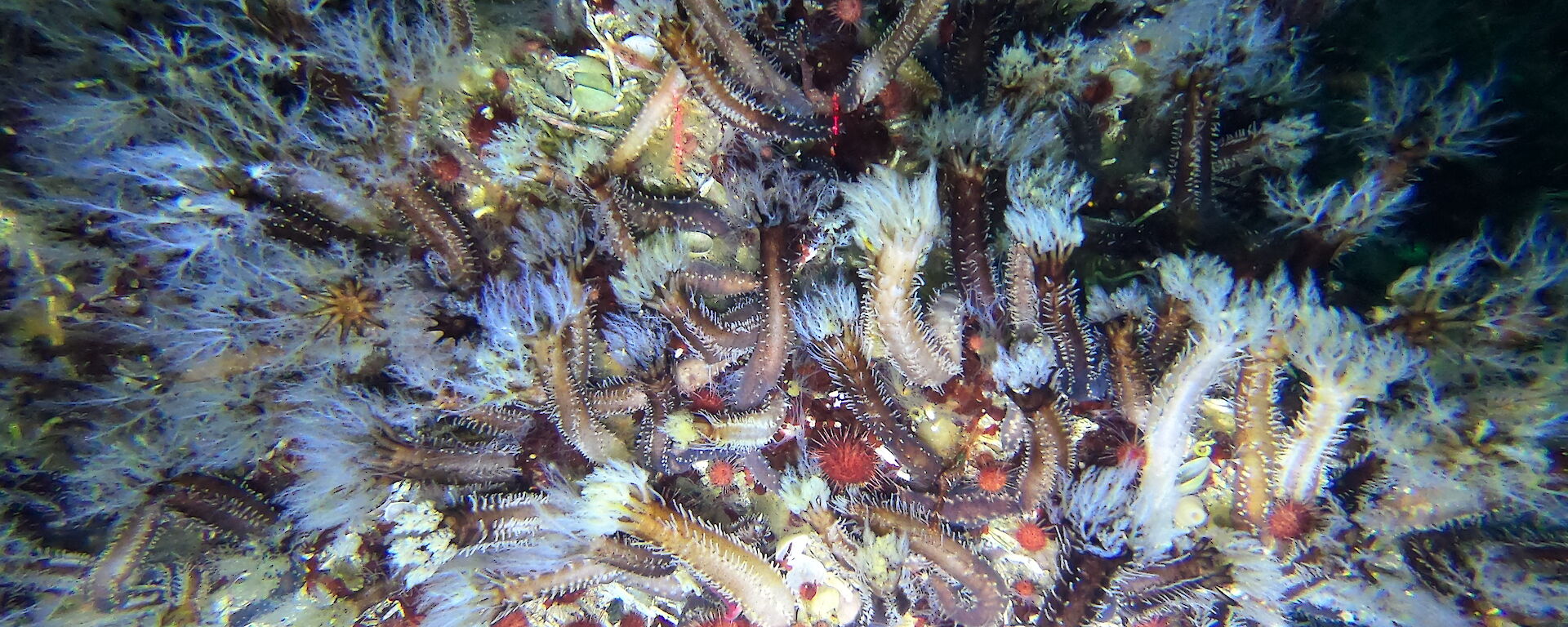
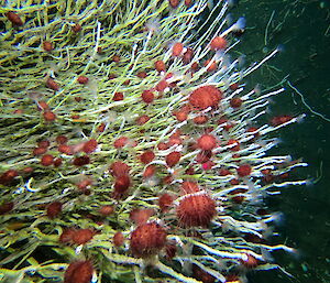
The images we captured revealed colourful, diverse and complex communities, with every site providing new and unexpected surprises. The polychaete reefs in Ellis Fjord were a particular highlight. These dense colonies of the tube building polychaete worm Serpula narconensis form reefs that extend for kilometres around the fjord and generally occur on slopes between depths of five to 35 metres. Like reefs anywhere, they provide a complex habitat for a diversity of other organisms, including sponges, ascidians, sea cucumbers and large numbers of the common red urchin Sterechinus neumayeri.
Polychaete reefs were also found in Long Fjord, although not in as large congregations, and we found small colonies of S. narconensis far to the north, in the steep rocky bays near Bandits Hut.
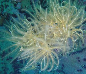
Another surprise was the presence of three species of crinoids (feather stars) that we haven’t seen around Davis before. These strangely beautiful echinoderms move around the sea floor filtering plankton from the water column with their feather-like arms.
It wasn’t all plain-sailing however, as the Ice-o-pod had a few teething problems that only Antarctic conditions can induce. Sealant used in some of the cable housings cracked or shrank in the very cold Antarctic water (−1.85°C), bringing our first dive to an abrupt end after only 10 minutes. These very hard to find leaks almost derailed the season but with some relentless detective work in the lab and the application of lots of Sikaflex we fixed the problem and operations resumed.
This first summer of work proved that the Ice-o-pod is a superb tool for exploring under-ice habitats with a small team and relatively simple logistics. Importantly, it also captured high quality imagery that will allow us to determine how Antarctic marine communities may change over time – vital for future monitoring efforts.
The Ice-o-pod is also a highly adaptable research platform that can be modified to provide upgraded or new capabilities. ROV control and data collection software is rapidly evolving and a range of potentially useful sensors are becoming smaller and easier to attach. In the coming year we’ll use this flexibility, along with the lessons learned this summer, to improve the Ice-o-pod’s capability and performance as an exploration and survey tool and to meet emerging research needs.

