The Mertz Glacier polynya experiment
During an 8 week winter voyage in 1999, the RV Aurora Australis worked in one of the active ice forming areas, known as polynyas, right on the Antarctic coast. Paradoxically, although these areas are relatively ice free, they are areas of very high ice production. When open water occurs near Antarctica in winter, the loss of heat from the ocean to the cold polar atmosphere is enormous, and ice production is consequently very rapid. Salt is rejected from the growing ice into the underlying ocean, increasing its density, and these processes within polynyas are potentially a vital first step in the formation of the cold, dense Antarctic Bottom Water. Strong winds constantly push the ice away from the coast, allowing the open water to persist.
Although this is not the first research cruise to the Antarctic pack ice in winter (there have been several in other parts of Antarctica, and one earlier ANARE expedition to the more northerly pack ice south of Australia in 1995) it is the first time that a vessel has worked in a polynya, right on the Antarctic coast during winter. The 62 scientists and technicians on the ship spent nearly six weeks within the sea ice zone, investigating oceanographic and glaciological processes that are related to global climate, and undertaking a range of biological studies. This article describes only a small part of the larger experiment.
How much ice grows in the polynya? Where does the ice go? What is the deformation rate? These were just a few of the questions the Glaciology Program hoped to answer. We deployed 21 buoys in total, which sent back hourly GPS positions that were plotted on a chart. Three types of buoys were used depending on the ice conditions, and the desired lifetime of the buoy. Fifteen small lightweight buoys were deployed on thin and newly forming ice in 3 sets, approximately one week apart. We revisited them during the experiment to measure how much ice had formed since deployment. One lasted only five days, probably buried in the heavy, deformed ice to the west of the polynya, while another meandered northwest to the ice edge, sending data back for over two months.
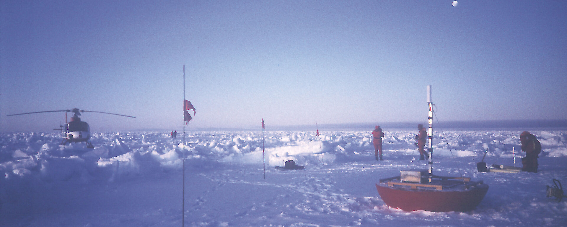
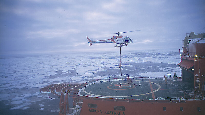
Three MetOcean buoys were deployed to measure the strain and drift rate of the thicker ice to the north of the polynya. This information is needed for some of the regional scale models of polynyas. The MetOcean buoys are the largest drifters, designed to last for more than a season. This type of buoy is routinely deployed from our ships to track the drift of the sea ice. Three ‘HiHo’ buoys were also deployed on the thicker ice to the north of the polynya, to augment the MetOcean buoys and provide increased data on ice strain rates. These in-house designed buoys were also used in a 1995 experiment. The large round red saucer-shaped buoys were deployed using either the ship’s crane or slung under the helicopter. Two of these sent back their positions for the design lifetime of about three months. With speeds up to 3km/hr, very little daylight, and at times very thick ice, finding all twenty one buoys again to measure the amount of ice which had formed was a challenge, although not impossible.
The ability to track the ice as it formed has provided a wealth of information on ice growth rates, the importance of deformation in new ice formation, and the different drift rates of different ice thickness.
Victoria Lytle
Glaciology Program,
Australian Antarctic Division


