
Monitoring activities underpin many areas of our research. They are conducted by the Bureau of Meteorology, Ionospheric Prediction Service Radio and Space Services (IPS), Australian Radiation Protection and Nuclear Safety Agency (ARPANSA) and Geoscience Australia.
Some observatories in Antarctica have operated continuously for more than 50 years, and continue to make an important contribution in monitoring the Antarctic and global physical environments.
Meteorology
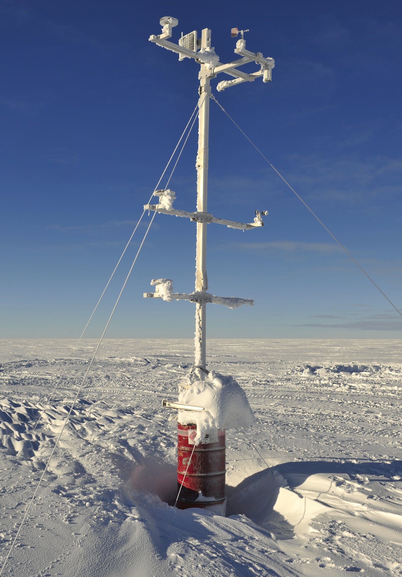
Weather observations are undertaken by the Bureau of Meteorology at all Australian stations. Data are also collected from a number of automatic weather stations located throughout the AAT and from the Australian research and resupply ships operating in the Southern Ocean.
Seismic monitoring
Australian seismological stations at Macquarie Island and Casey form part of the global seismograph network that monitors earthquakes world-wide. The information they provide supports tsunami warning systems, including the Australian Tsunami Warning Centre, and studies of continental plate motions. The stations are operated jointly by Geoscience Australia and the United States Geological Survey.
Nuclear monitoring
Stations in Antarctica, including the seismological station at Mawson, contribute to the global monitoring of nuclear tests. These stations are listed as part of the International Monitoring System of the Comprehensive Nuclear-Test-Ban Treaty, which Australia has signed and ratified. Australia’s obligations under the treaty include the establishment, operation, maintenance and upgrade of these Antarctic stations, and the provision of uninterrupted data.
Geodesy
Geodesy provides the fundamental reference frame that allows accurate location on the earth’s surface by GPS. The Australian geodetic program, including its fieldwork and computations carried out in Antarctica, contributes to the development of the International Terrestrial Reference Frame, within which all positioning activities in Antarctica are undertaken. The geodetic program supports aircraft and ship navigation, and the monitoring of the atmosphere, oceans and coastal zones. The geodetic infrastructure in Antarctica is also used as a reference and calibration for Australian and international research programs that use geodetic and satellite-derived gravity data to study ice mass balance in Antarctica, such as project POLENET, undertaken in the International Polar Year.
Geomagnetic monitoring
Australia’s 3 geomagnetic observatories in Antarctica (at Macquarie Island, Mawson and Casey) monitor the earth’s continuously changing magnetic field. They form part of wider Australian and international observatory networks. The data and information provided by geomagnetic observatories are required by international treaties to support maritime and aviation navigation and by airborne geophysical surveys to study the nature of the Antarctic continent below the ice cover. Other applications include magnetic direction-finding, magnetic detection, and the mitigation of geomagnetic hazards. These data also contribute to research into the nature of geomagnetic phenomena (particularly in auroral zones), earth structures and processes, and solar-terrestrial physics. Geomagnetic data from Australian observatories in Antarctica are provided to the IPS Radio and Space Services for space weather forecasting and research.
Data from our Antarctic geomagnetic observatories and other Antarctic data obtained in conjunction with university-based researchers, contribute to global research in this field, such as the international program INTERMAGNET, to develop global models of the planetary magnetic field. Here are some examples of the geomagnetic data being gathered at Davis station.
The Earth’s magnetic field at Davis
At Davis, Antarctica, (and Casey) we measure the north (X), east (Y) and vertical (Z) components of the Earth’s magnetic field (see first picture). The major component of the magnetic field is generated by currents in the Earth’s core. This amounts to approximately 54,000 nT (nanotesla) at Davis.
Currents flowing in the upper atmosphere at around 120 km result in variations that may amount to some 2% of the total field, but are typically much smaller. At Davis the fluctuations are maximised broadly around noon (~10 UT) and near midnight (~12 UT). The noon fluctuations result from currents associated with the interaction of the solar wind and the sunward extremity of the Earth’s field. Davis is ideally located for studying this interaction. The midnight fluctuations result from currents associated with auroral intensifications (auroral substorms). The sharp onsets shown are typical of auroral substorms. The variations depicted amount to some 800 nT in magnitude.
Our measurements of the magnetic field are transferred to the Space Weather Services section of the Bureau of Meteorology for use in ionospheric forecasting, and to world data centres. The latest observations from Davis and Casey can be found on the Bureau of Meteorology website.
Ionospheric opacity
A riometer (relative ionospheric opacity meter) is essentially a wide-angle radio telescope that is used for studying the aurora. It measures the combined signals at 30 MHz of the radio stars in its wide (60 degree) vertically oriented beam. The gentle curve on the day’s data (see second picture) results from the passage of the Milky Way over the Davis site.
When energetic electrons associated with aurora impact the upper atmosphere they may ionise the atmosphere significantly at lower altitudes (around 90 km) than normal. This low altitude ionisation absorbs some of the signal from the stars in the riometer beam. This results in the ‘bights’ out of the smooth varying curve at around 2030 UT and 2130 UT. A comparison with the Davis magnetic data (first picture) shows the riometer events are associated with current intensifications at this time.
Riometers allow the study of energetic auroral events, independent of cloud cover at the site. The Davis riometer is one of four operated through the Australian Antarctic program. Data from these riometers are regularly transferred to the Space Weather Services section of the Bureau of Meteorology for use in ionospheric forecasting, and to world data centres. View the latest results on the Bureau website.