
Project information
Project aim
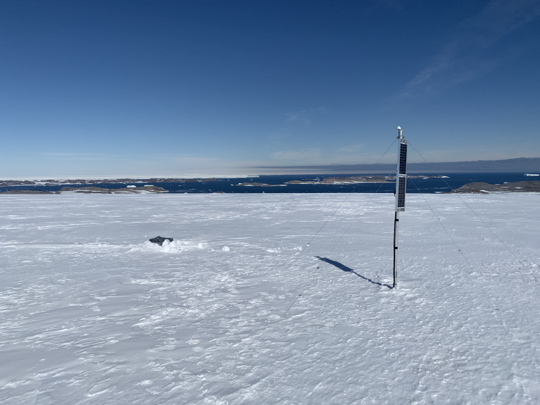
Hidden landscapes at the base of ice sheets impact the present and future behaviour of the Antarctic ice sheets, as they control how easily the ice will slide over the rocky hills or slippery mud basins beneath. Many active processes of ice sheet outlet glaciers occur intermittently and rapidly, so they are hard to observe in detail. We will make seismic and multidisciplinary recordings through seasonal cycles to optimise new knowledge on the ice sheet bedrock interface zone, and identify icequakes and major outlet glacier motion. Multidisciplinary data includes geoelectric measurements to discriminate between fresh and saline subglacial water, infrasound to detect pre-cursors to iceberg calving, and local meteorological data and snowpack observations to provide the context in a changing climate.
We can make better decisions on the future impact of sea level rise, and increasing freshwater entering the salty ocean if we understand how ice sheets change and whether this will occur gradually or suddenly. This project addresses, at key locations, the lack of detailed information on the ice sheet-bedrock interface zone, sub-ice water content and intermittent glacier system processes to inform those decisions. As we build enduring datasets that ensure Australia’s stewardship of knowledge generation for Antarctica, our combined methods will also have wide uptake by other Antarctic nations that work to understand global change.


Project milestones
Summary of the season 2024/25
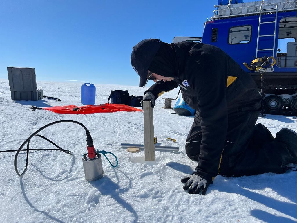
At present, predictions of ice sheet behaviour are limited by lack of detailed information across wide glaciated areas, and on the ice sheet-bedrock interface zone. In the 24/25 summer Antarctic fieldwork season we installed instruments to measure glacier movements, and to characterise the hidden zone at the base of ice sheets, to fill that knowledge gap.
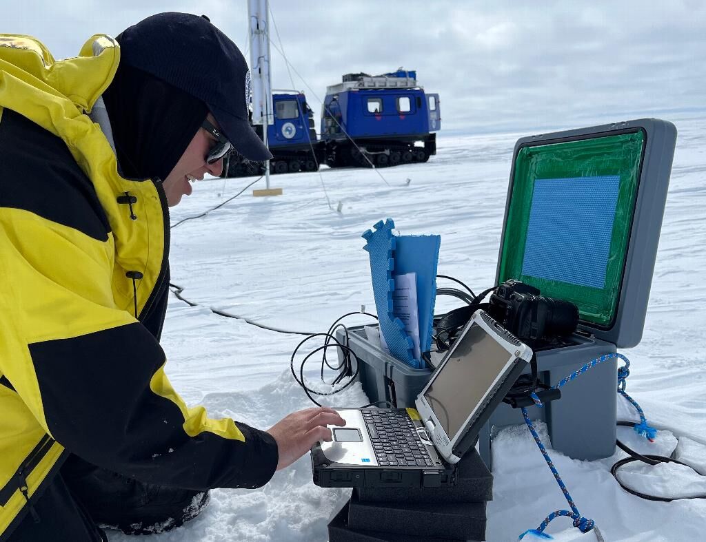
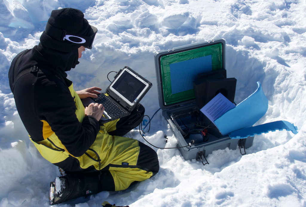
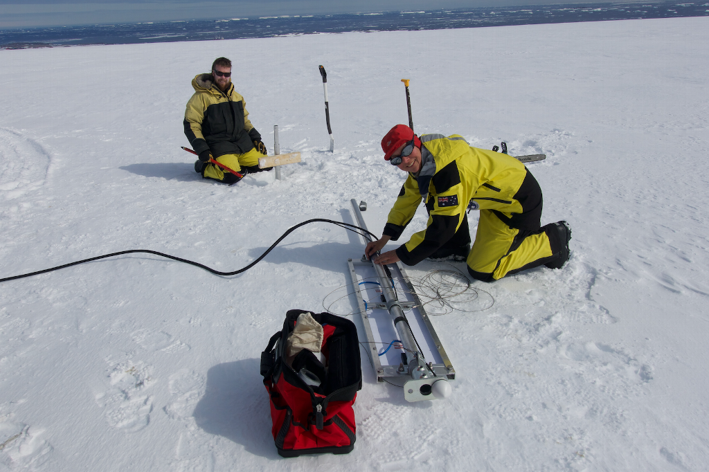
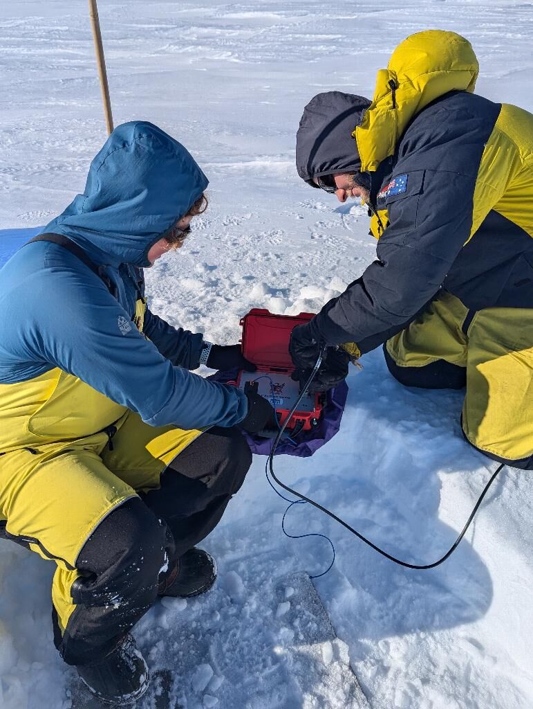
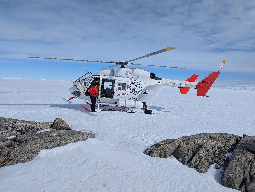
Our efficient field teams deployed seismic and magnetotelluric instruments from the Geophysical Research Infrastructure for Antarctica (GRIT) Instrument Facility with air support from helicopters and twin-otter fixed wing aircraft, working out of Casey Station. Our field instrument sets are designed to use light logistics such that high quality instruments may be rapidly deployed. Highlights included retrieving data from coastal sites near the Browning Peninsula, and installing new sites on Haupt Nunataks and other locations adjacent to, and on, the Vanderford Glacier, and further inland.
The data on icequakes and other geophysical measurements will be interpreted back in Australia, and also made available in open archives for future interdisciplinary studies to predict ice sheet response. Scientific advances that will result from this project include understanding how the Vanderford-Totten Glacier system is evolving, and how much its 'stick or slide' behaviour could be influenced by soft sediments or hidden meltwater in the glacier trough.
Summary of the season 2022/23
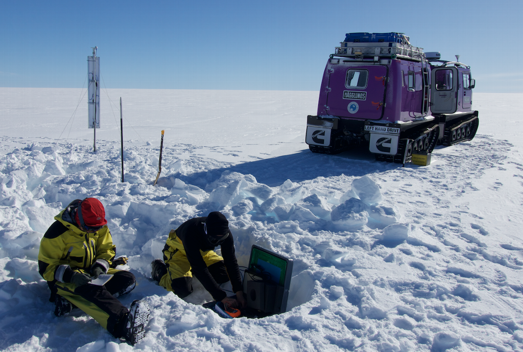
The 2022/23 field season was very successful for this project. The work carried out involved overland travel using Hagglunds vehicles, accessed from Casey station, with two field scientists being supported by an AAD Field Training Officer. The main achievements were the download of data from the 2022 overwinter recordings, and site maintenance, together with the deployment of summer-only groups of sites, and redeployment of instruments to form a larger array for the 2023 overwinter recordings. Preparations were also made to connect the activities of this project to large interdisciplinary campaign planned for the 2023/24 season.
Summary of the season 2021/22
Seismic instruments were installed at 11 sites, accessible overland from Casey station, with the spread of sites amended due to reduced field personnel.
Summary of the season 2020/21
No field season took place due to the Covid-19 situation.
Summary of the season 2019/20
This project has been subject to several delays, however it is proceeding now, and we expect it to deliver its objectives as planned