
Project information
Project aim
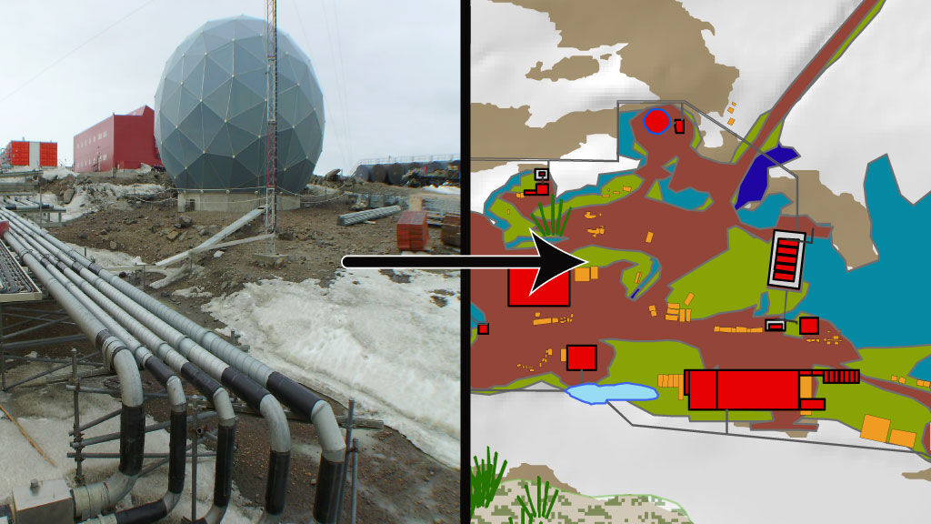
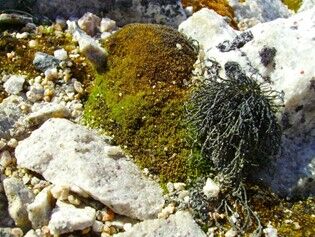
Many Antarctic stations are built in coastal areas of high conservation significance, which can be compromised by a station's operations. At Casey, for example, there are earthworks, heavy machinery and logistical activities operating alongside some of the most well-developed and extensive plant communities on continental Antarctica. Legal obligations derived from the Protocol on Environmental Protection to the Antarctic Treaty mean that conservation planning should be a key consideration of current and proposed Antarctic station operational projects. However, knowledge of what values need protecting and where is often lacking or unavailable to the relevant groups that plan operational activities. This project aims to develop a systematic conservation planning approach to provide usable information for station operators. A test case of Casey includes collating data on natural values, known human presence, risks, effects, and impacts, to provide operators with conservation tools.
Project milestones
Summary of the project achievements 2020/21
Through the course of this project we investigated the need for conservation planning at research station sites – looking at the history of station locations, the rarity of ice-free areas, the impacts stations have on values, and the current conservation planning that already occurs. The information this review produced provided us with substantial justification that further conservation planning should occur to ensure the protection of the Antarctic environment consistent with the aims of the Madrid Protocol.
From this, we developed an approach for systematic conservation planning of stations sites, including a scalable tool to assist the application of this system to any Antarctic site, whether it is for planning a new station, modernisation of facilities, or new research infrastructure. We also tested this approach on Australia's Casey Station – producing a detailed assessment of Casey's footprint, natural values, and a collation of the existing environmental data necessary to help conduct future planning. Through this process we also captured a time series of the footprint of Casey Station, finding continuous expansion of footprint over the past two decades, despite the removal of old buildings, demonstrating the value in long-term management and planning.
The research component of this project has now concluded and a manuscript detailing this work is in the final stages of preparation which we are aiming to publish in an international peer-reviewed journal in the first half of 2022.
Use of the conservation planning approach developed by this project would provide an opportunity to balance the need for scientific access to the continent with international obligations to protect the environment.
Summary of the season 2019/20
Within the past year this project has made significant progress towards informing conservation planning for Antarctic stations. This has included acquiring the latest high-resolution satellite imagery of Casey Station, extensive GIS mapping of natural and human features to inform decision making within station environments, and two end-user workshops involving stakeholders and personnel across all branches of the Australian Antarctic Division. The progress to-date has revealed how stations expand over time, and how they interact with the natural values surrounding them.