
Project information
Project aim
The Earth beneath Antarctica is not cold and static but highly dynamic. Its changing shape results from past and present changes in the amount of ice resting on it as well as forces internal to the Earth. These are very poorly understood in Antarctica, and in East Antarctica in particular.
Understanding these processes requires a detailed understanding of the interior properties of the Earth and the history of ice loading changes from 20,000 years before present until today. Alternatively, by measuring present-day deformation using GPS, and inferring the properties of the Earth from seismology, we can obtain new information on past and present ice loading changes.
This project will lengthen existing East Antarctic GPS and seismic records to determine deformation patterns, and their changes over time, and to estimate Earth's interior properties. These remain necessary for understanding Antarctica's contribution to past and present sea level change from altimetry and space gravimetry.
Project milestones
Summary of the season 2024/25
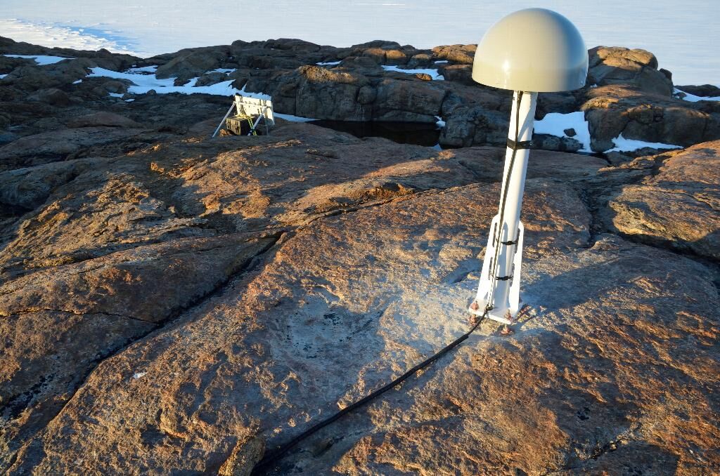
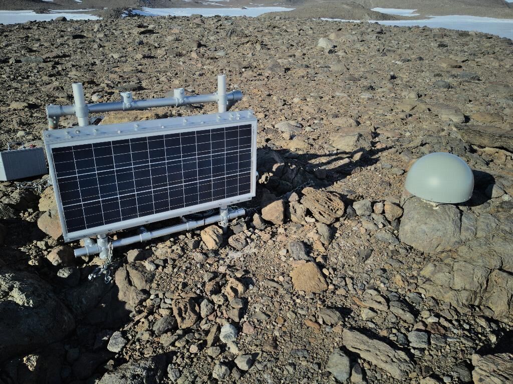
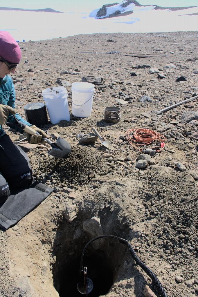
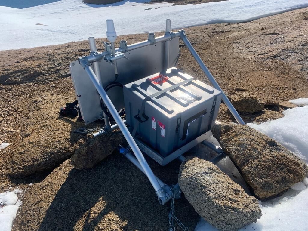
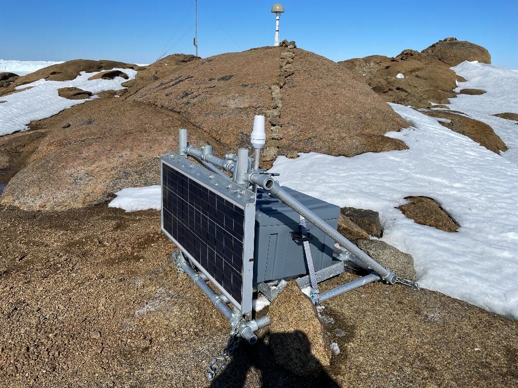
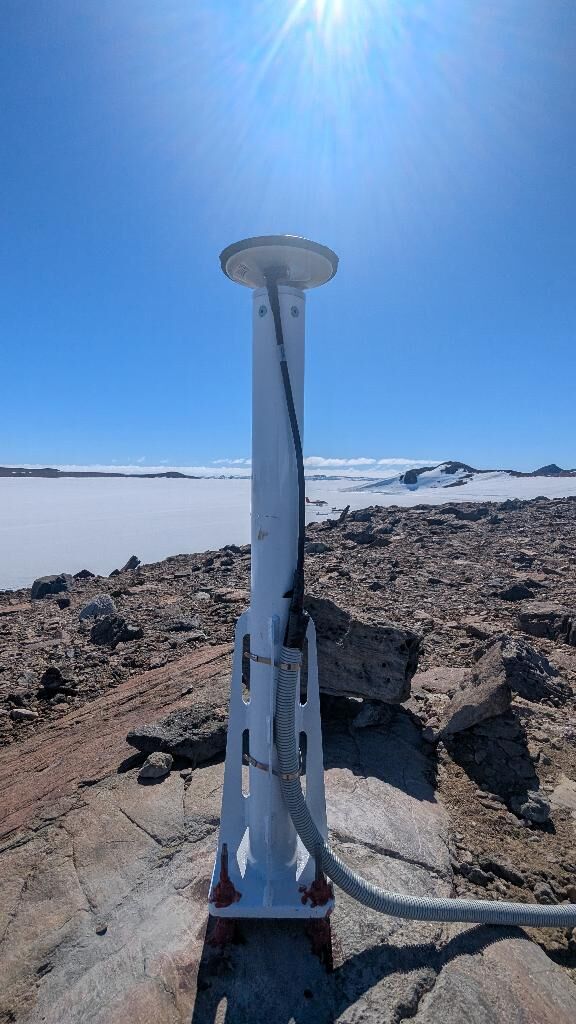
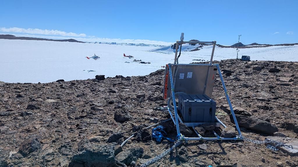
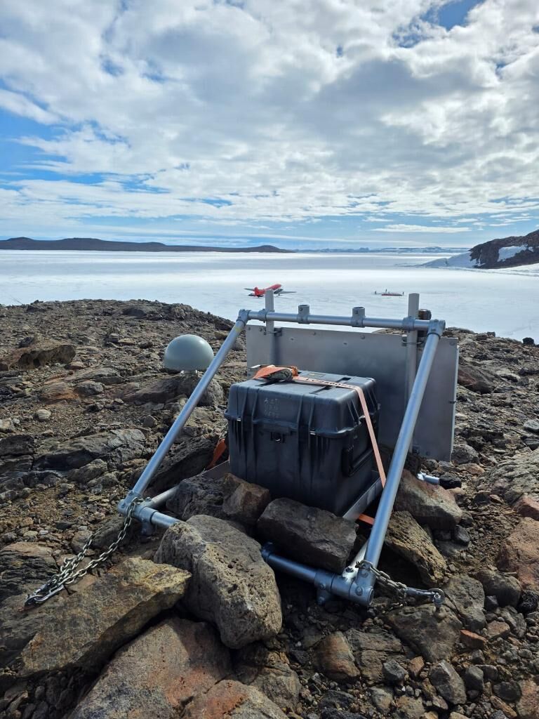
During 24/25 season a new GNSS site was installed at Bunger Hills near Australia's Edgworth David station to replace an old site installed a decade ago. Three other GNSS sites were visited and upgraded with improved telecommunications enabling real-time data transmission supported by a collaboration with Ohio State University and funded by the National Science Foundation. Seismic recorders at the same sites were downloaded and maintained. In early 2025 we published an open dataset of Antarctic bedrock displacement and tropospheric zenith wet delay time series derived from project, and other, GNSS data.
Summary of the season 2022/23
The project is focused on measuring the changing shape of the Earth due to past and present changes in the size of the ice sheet. This is important to know as it affects measurements of the ice sheet's present-day contribution to sea level.
This season involved the first of the project's upgrades to sites, replacing the GNSS receiver at two sites and adding Iridium data communications at one of them. This now means we have daily updates on the state-of-health and battery charge for the first time, which will reduce logistics burden required to operate such remote sites long-term. We have budget to download a subset of the data one day per week, and are working on the optimal data volume to minimise costs while still providing an ability to quality control the data.
Summary of the season 2021/22
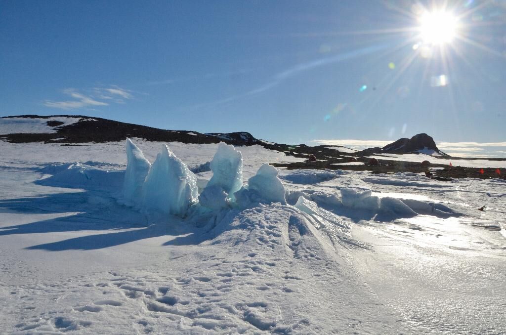
This project is providing new information on the internal structure of the solid Earth in East Antarctica and the three-dimensional motion of the crust at Bunger Hills, near to Australia's Edgworth David station. This is a long-term monitoring project which focuses on obtaining and openly providing GPS and seismic datasets for the benefit of the global scientific community.
A small team of scientists were deployed to Bunger Hills via Casey Station to maintain our GPS and seismice equipment. The receivers were downloaded and re-established for ongoing measurement. Follow-up visits by Polish colleagues based at Bunger Hills has identified the GPS receiver is now faulty and not tracking.
Further revisit will be required to replace the receiver and ensure long-term monitoring of this site, and to confirm if the site is undergoing subsidence at suggested by our recent analysis.
Summary of the season 2020/21
No field season took place due to the Covid-19 situation.
Summary of the season 2019/20
No fieldwork was undertaken for this project.
Related publications
-
Advancing geodynamic research in Antarctica: reprocessing GNSS data to infer consistent coordinate time series (GIANT-REGAIN) Earth Systems Science Data, 2025
(Ref: 17308)
Authors:Category 1: Peer-reviewed literature
For nearly 3 decades, geodetic Global Navigation Satellite System (GNSS) measurements in Antarctica have provided direct observations of bedrock displacement, which is linked to various geodynamic processes, including plate motion, post-seismic deformation, and glacial isostatic adjustment (GIA).