
Project information
Project aim
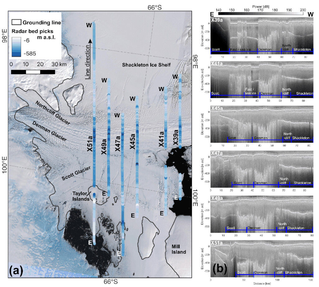
This airborne geophysics and oceanography project explores the stability of the Antarctic ice sheet and the associated consequences for global sea-level rise. We will focus on ice sheet/ocean interactions including the first large scale simultaneous measurement of East Antarctic continental shelf ocean properties relevant to the stability of the fringing ice shelves. We will also conduct detailed surveys of the Shackleton Ice Shelf (the most northerly ice shelf outside the Antarctic Peninsula) and the George V Coast, two under-surveyed areas with significant sea-level rise potential.
We will continue to survey the interior of the ice sheet, building on the altimetry time series built up over 10 field seasons, and contribute to calibration and validation activities for satellite altimetry missions. The prevalence, distribution and impact of subglacial water on ice sheet stability will also be a key area of study.
Project milestones
Summary of the season 2024/25
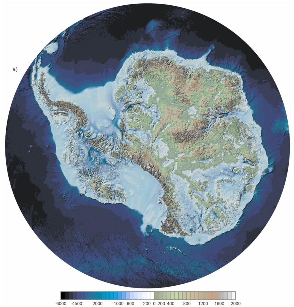
Due to logistical constrains no field work in support of AAS 4511 (ICECAP - EAGLE) was undertaken in the 2024/25 season. However, analysis of existing data as well as legacy data from previous associated AAS projects (3103, 4077 and 4346) resulted in the publication of three peer-reviewed journal papers. A key paper and associated dataset describing the Antarctic ice sheet bedrock topography in unprecedented fidelity will enable the Antarctic ice sheet modelling community to produce more realistic simulations of the evolution of the ice sheet, and it's associated contribution to global and local sea-level change due to a changing climate.
ICECAP - EAGLE is a keystone collaborator in the SCAR RINGS initiative to consistently map the Antarctic ice sheet grounding zone, to enable better current estimates and future projections of the ice sheet mass balance and contribution to local and global sea-level change. Through QPQ arrangements, PRIC conducted two ICECAP-EAGLE surveys of the Enderby Land ice sheet grounding zone in support of SCAR RINGS.
Summary of the season 2023/24
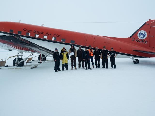
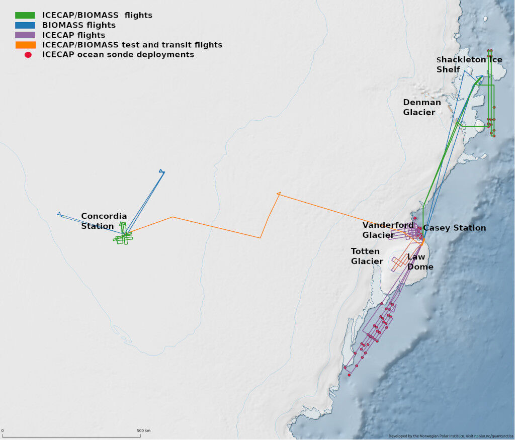
The AAD lead ICECAP-EAGLE international partnership delivered another successful year in 2023/24. The highlight of the year was the summer field science campaign conducted from Casey Station and Concordia. The field team of 6 international scientists (two each from Australia, Denmark and the United States of America), with exemplary help from the Kenn Borek Air crew, the Casey summer expeditioners, and personnel at both the Denman Terrestrial field camp and Concordia, achieved:
- 13 survey flights, including 5 in support of the upcoming BIOMASS satellite mission for the European Space Agency (ESA)
- 17163 line km of survey flown over 59 hours
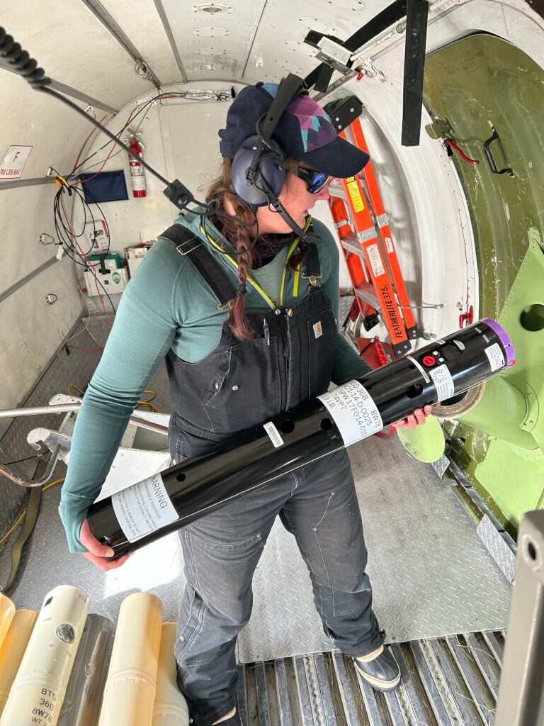
- 60 ocean sondes deployed to measure the ocean properties adjacent to the Antarctic ice sheet and fringing ice shelves.
In addition, legacy data from previous incarnations of the ICECAP-EAGLE project lead to two publications in high impact peer reviewed journals and the update of a key international data compilation (Bedmap3) detailing the geometry of the bedrock underlying the Antarctic ice sheet.
Summary of the season 2022/23
Due to logistical constrains no field work in support of AAS 4511 (ICECAP - EAGLE) was undertaken in the 2022/23 season. However, analysis of legacy data from previous associated AAS projects (3103, 4077 and 4346) resulted in the publication of three peer-reviewed journal papers. A key paper on the structural evolution of the Shackleton Ice Shelf directly contributes to our understanding of ice shelf state and stability, while a second paper enhances our knowledge of ice sheet basal boundary conditions, which ultimately control the discharge of grounded ice into the ocean and contribute to local and global sea-level change.
ICECAP - EAGLE has been a keystone collaborator in the SCAR RINGS initiative to consistently map the Antarctic ice sheet grounding zone, to enable better current estimates and future projections of the ice sheet mass balance and contribution to local and global sea-level change. Detailed internationally collaborative field season planning has been undertaken to jointly survey the grounding zone in Enderby Land, currently the region with the sparest ground zone mapping.
In addition, ICECAP - EAGLE has also been involved in preliminary field planning for a potential 2023/24 field season, and in particular liaising with the Denman Terrestrial field campaign to optimise ICECAP flights in the region to complement and enhance their ground and helicopter based studies.
Summary of the season 2019/20
The planned 2019/20 field season for AAS 4511 (ICECAP EAGLE) was to establish a baseline for spatial variability in the continental shelf ocean properties, and undertake a broad-scale survey of the coastal bythmetry covering the entire coastal Australian Antarctic Territory. This information is vital for accurate assessment of the vulnerability of the Antarctic ice sheet to changing oceanic conditions, and predictions of the future response of the ice sheet.
Due to Antarctic operational logistical constraints, ICECAP EAGLE was unable to undertake this ambitious plan which would have involved support from Casey, Davis and Mawson along with support from foreign stations including Zucchelli, DDU and Syowa.
We plan on attempting this survey of the entire coastal Australian Antarctic Territory in a future field season, as data from this survey is essential for planning the more detailed surveys based out of Bunger Hills and Oates/George V Coast remote skiways originally planned for the 2020/21 and 2021/22 field seasons.
Related publications
-
Fine-scale geothermal heat flow in Antarctica can increase simulated subglacial melt estimates Geophysical Research Letters, 2022
(Ref: 16591)
Category 1: Peer-reviewed literature
Antarctic geothermal heat flow (GHF) affects the thermal regime of ice sheets and simulations of ice and subglacial meltwater discharge to the ocean, but remains poorly constrained.
-
Holocene hydrological evolution of subglacial Lake Snow Eagle, East Antarctica, implied by englacial radiostratigraphy Journal of Glaciology, 2025
(Ref: 17413)
Authors:Category 1: Peer-reviewed literature
A major subglacial lake, Lake Snow Eagle (LSE), was identified in East Antarctica by airborne geophysical surveys. LSE, contained within a subglacial canyon, likely hosts a valuable sediment record of the geological and glaciological changes of interior East Antarctica.
-
Estimating marine ice thickness beneath the Amery Ice Shelf from airborne radio-echo sounding Journal of Glaciology, 2025
(Ref: 17411)
Authors:Category 1: Peer-reviewed literature
Ice shelves affect the stability of ice sheets by supporting the mass balance of ice upstream of the grounding line. Marine ice, formed from supercooled water freezing at the base of ice shelves, contributes to mass gain and affects ice dynamics.
-
Amery Ice Shelf Grounding Line Datapoints Automated Extraction From Airborne Ice-Penetrating Radar IEEE Transactions on Geoscience and Remote Sensing, 2025
(Ref: 17407)
Authors:Category 1: Peer-reviewed literature
Understanding basal processes across ice-sheet grounding lines is crucial in accurately modeling ice-sheet dynamics and estimating global sea-level rise. The grounding line, which demarcates the specific boundary between a grounded ice sheet and a floating ice shelf…
-
Gravity-derived Antarctic bathymetry using the Tomofast-x open-source code: a case study of Vincennes Bay The Cryosphere, 2025
(Ref: 17370)
Authors:Category 1: Peer-reviewed literature
Vincennes Bay is a region of East Antarctica vulnerable to sub-ice shelf basal melting from warm ocean water intrusions. The sub-ice shelf bathymetry in this region is largely unknown, despite its importance for ocean dynamics within ice shelf cavities and associated sub-ice shelf basal melting.