
Project information
Project aim
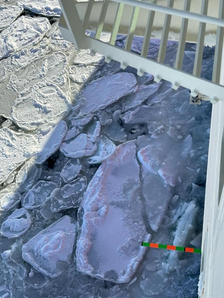
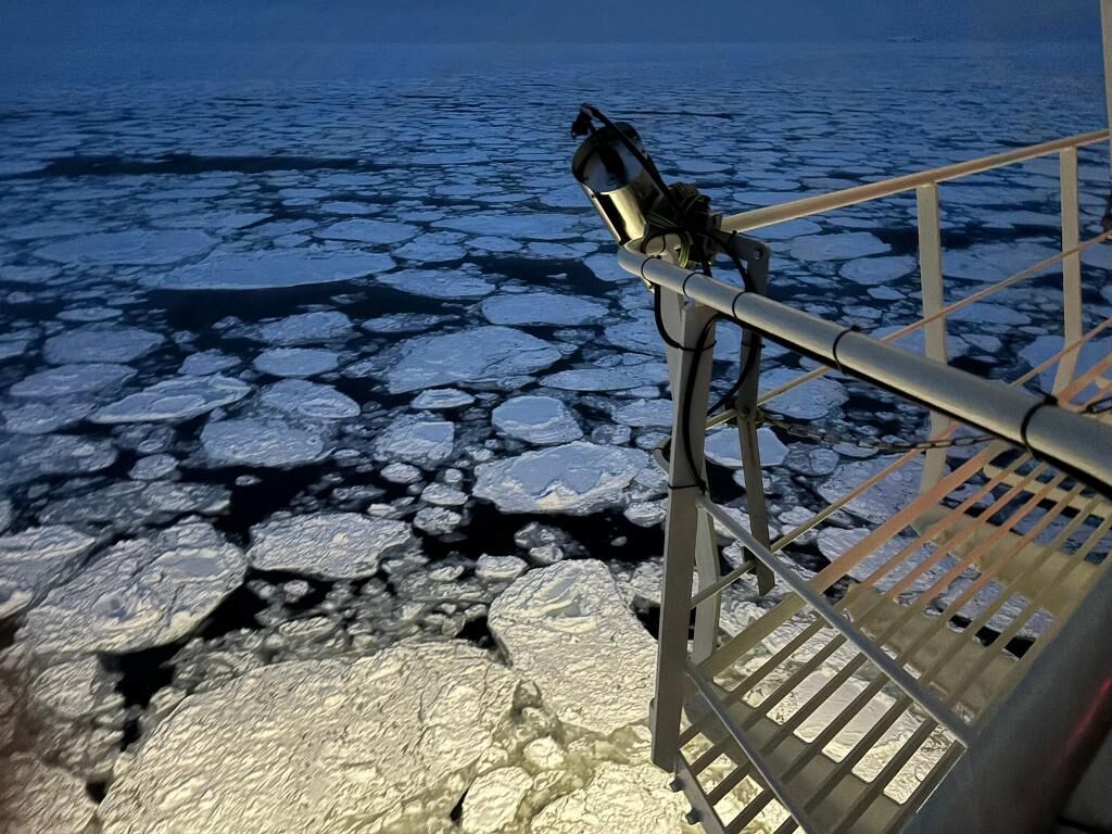
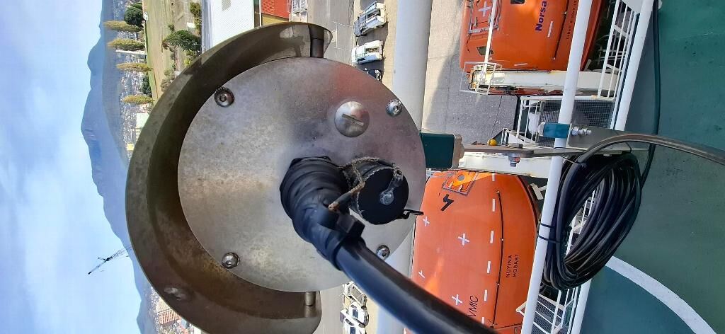
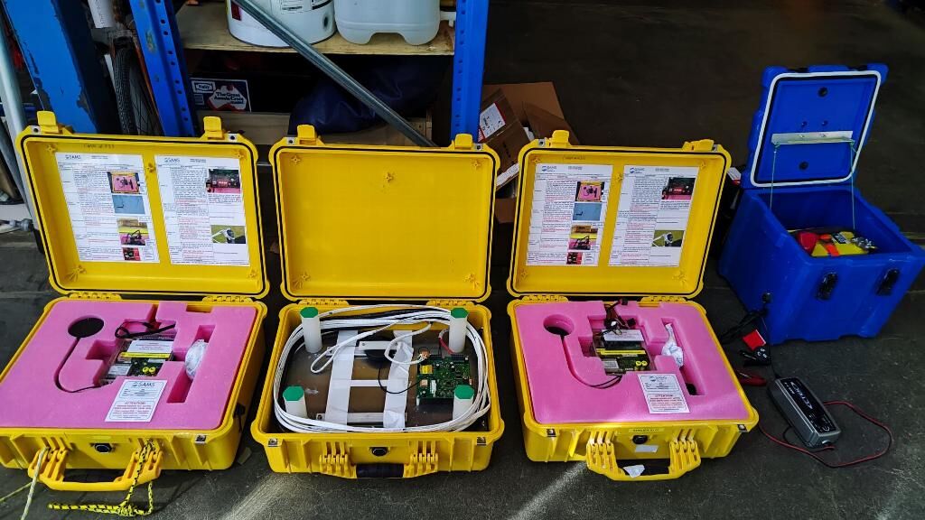
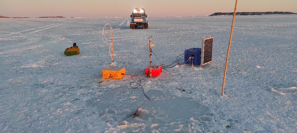
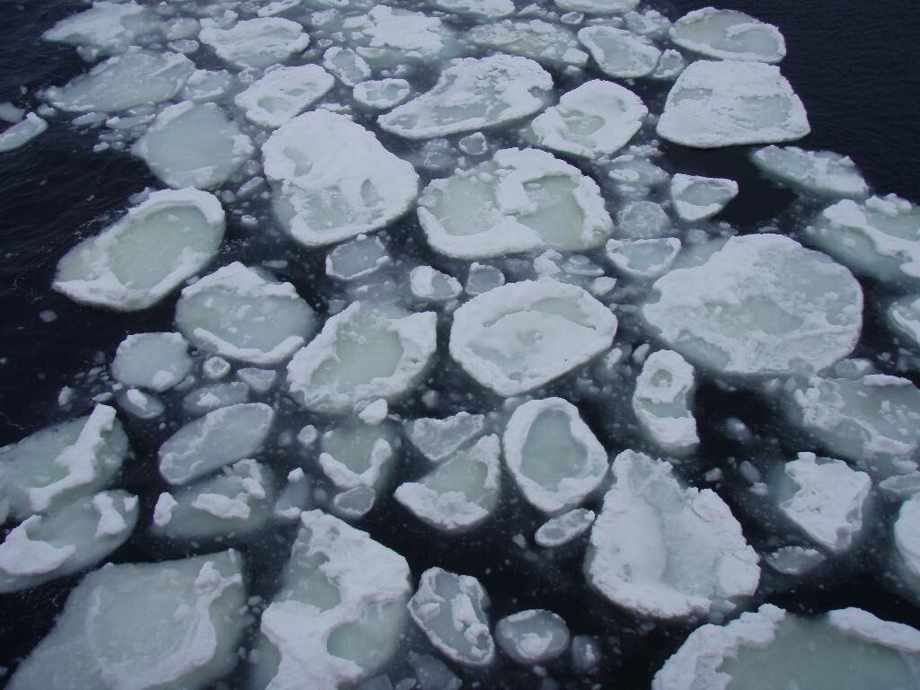
Over the past decade, satellite time series have revealed an abrupt departure in Southern Ocean sea ice to extreme record minima in both summer and winter sea-ice extent and shortened annual sea-ice duration around much of Antarctica, in response to changing wind patterns and warming of both the polar atmosphere and ocean and with major ramifications for Antarctica and the Earth system. Much less well known are how sea ice conditions and properties, including the ice type, ice and snow cover thickness, seasonal formation and melt rates, and associated sea-ice primary (algal) production are also changing and/or varying – and the complex atmosphere-ice-ocean interactions and processes responsible. Filling this knowledge gap in our region of interest is crucial to: scientific assessment of sea-ice change and variability and impacts on environment, ecosystems and operations; environmental and ecosystem management; improving operational weather and sea-ice forecasting; and model development leading to more robust prediction of future sea-ice conditions and climate. This project provides key information on sea-ice conditions and processes not obtainable from space, as a major contribution to the Australian Antarctic Science Decadal Strategy 2025-2035 and its Science Implementation Plan 2025-2035. Our ongoing targeted measurements of the state of the landfast ice near Davis, Mawson and Casey continue a unique long time-series record that is critical to the detection and assessment of change and variability in the coastal environment, while also providing invaluable information in support of safe sea-ice travel and operations in the vicinity of the stations. At the same time, ongoing hourly visual observations and sensor-based observations of the pack ice, ocean and atmosphere are acquired from RSV Nuyina each time it traverses the sea-ice zone. These provide gap-filling information on spatio-temporal variability and change in key sea-ice conditions (including the ice and snow-cover thickness) and processes (including wave-ice interaction). Crucial to this is the permanent deployment on RSV Nuyina of the Ocean-Sea Ice-Atmosphere (OSIA) underway observatory, comprising an integrated system of semi-automated cameras and other sensors attached to the ship superstructure and (in the near future) on the Forward Outboard Deployment System (FODS).
Project milestones
Summary of the season 2024/25
The Ocean-Sea Ice-Atmosphere [OSIA] Underway Observatory continued to operate in autonomous mode on the 3 Antarctic voyages of RSV Nuyina in 2024/25.
With international initiatives, such as Antarctica InSync, and Australian marine-science projects pencilled in the forward plan, such as the Marginal Ice Zone Study, our focus for the upcoming seasons is to harden the currently installed equipment while pushing for successful integration of key missing underway instrumentation. These include bespoke sea-ice sensors, i.e., those to be deployed on the Forward Outboard Deployment System [FODS] of RSV Nuyina, which was specially designed to allow measurement of the sea ice and snow ahead of the vessel. Electromagnetic sensors, lasers, radars, ultrasound and others will be combined in provide a full picture of the sea-ice and snow thickness. Designing an approved method to deploy the instrumented FODS is critical to enable acquisition of key sea-ice measurements. Another focus will be on installing existing equipment, such as the Infrared sea-surface temperature radiometer and the wave-ice radar, to yield accurate observations.
In partnership with the Heard Island joint policy-science project, we are working on obtaining renewed automated measurements from Automatic Weather Stations [AWSs], to be deployed at different altitudes on the islands Brown Glacier. Satellite imagery show a rapid retreat of the island's ice cap, and installing for regular measurements of meteorological and radiation variables in the lower atmospheric boundary layer, will enable analysis as to particular conditions on the island that promoted rapid erosion of its cryosphere.
In addition, a number of Standard automated and in situ measurements have been obtained during 2023/24, including from automatic weather stations at the Antarctic Plateau, on coastal fast ice, at Deep Lake and visual observations along the icebreaker's trajectory.
Summary of the season 2023/24
Unveiling Secrets of the East Antarctic: Partial implementation of the new Ocean-Sea Ice-Atmosphere Underway Observatory
Australia's Antarctic Science Program has achieved a major breakthrough with the deployment of a revolutionary observatory on Australia's icebreaker RSV Nuyina. This "Ocean-Sea Ice-Atmosphere" [OSIA] Underway observatory, under AAS project 4506, provides a science backbone to the vessel regardless of particular mission objectives, continuously collecting vital data on the near-surface environment of the Southern Ocean along the vessel's trajectory.
Over the past years scientists and engineers have focused on design and implementation of OSIA. During V2 - V4 2023/24 OSIA instruments collected data of atmospheric variables (including radiation, wind speed and clouds), surface ocean variables (including wave parameters and sea-surface temperature), and observations to derive sea-ice conditions (including floe-size distribution, sea-ice thickness surface temperature). While some measurements are direct, other measurements require a complex data-processing pipeline to derive the desired variables. For example, our team is working on Machine Learning to derive the sea-ice floe-size distribution from pairs of stereo-camera images.
The 2023/24 implementation of OSIA is a first step to acquire targetted observations along the vessel's trajectory to unlock a deeper understanding of how ocean, sea ice and the atmosphere interact in this critical region.
The data are critical to support scientific advancements in areas like climate change and its impact on East Antarctica's unique ecosystem. By analyzing how these elements influence each other, researchers can better predict future changes and safeguard this pristine environment.
This deployment is a significant milestone for Australian Antarctic research. OSIA paves the way for continuous data collection, providing an unprecedented view of East Antarctica's dynamic near-surface environment.
In addition, a number of Standard automated and in situ measurements have been obtained during 2023/24, including from automatic weather stations at the Antarctic Plateau, on coastal fast ice and visual observations along the icebreaker's trajectory.
Summary of the season 2022/23
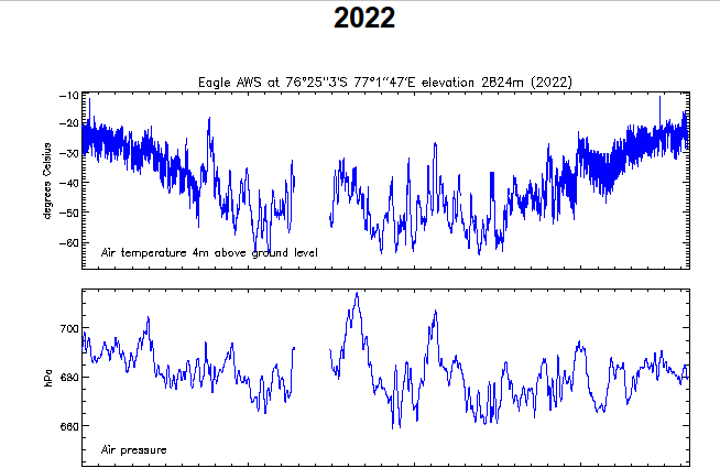
Knowledge of the past and current state of essential climate variables in a region of interest is crucial to scientific analysis, operations & environmental forecasting. Automatic weather stations provide sustained longterm meteorological and cryospheric data from remote parts of the Antarctic ice sheet. AAD sent hourly near-real time measurements from its remote AWSs, deployed at extremely low temperatures on the East Antarctic glacial plateau to Australia and international meteorological centres. Similarly, regular measurements of the state of the landfast ice and selected lakes are taken near Davis, Mawson and Casey, some via autonomous sensors, others manually. Further, bridge-based observations of the pack ice within 1nm of supply- or research vessels are taken on all Antarctic AAS voyages. With the advent of the research icebreaker RSV Nuyina the ASPeCt underway sea-ice and atmosphere observations will transition to automated observations, largely enabled by bespoke sensor packages mounted on ship rails and RSV Nuyina's FODS. This Ocean-Sea Ice-Atmosphere [OSIA] underway observatory will link across disciplines and provide routine data of near-in situ measurements while the RSV Nuyina is in transit or deployed outside of its home harbour. Together these extend the historical climate record with real-time data (as needed for weather forecasting), support marine, station, remote & traverse operations providing invaluable information for scientific analysis.
Summary of the season 2021/22
Knowledge of the past and current state of parameters in a region of interest is crucial to scientific analysis, operations & environmental forecasting. Automatic weather stations provide sustained longterm meteorological and cryospheric data from remote parts of the Antarctic ice sheet. AAD currently operate five remote AWSs at extremely low temperatures on the East Antarctic glacial plateau. Hourly measurements are sent in near-real time to Australia and international meteorological centres. In 2021/22 the AAD operated five Automatic Weather Stations [AWSs]. The public database has been updated to include the 2021 observations.
Regular measurements of the state of the landfast ice are taken near Davis, Mawson and Casey, some via autonomous sensors, others manually. During winter of 2021 weekly (approx) measurements on the long-term monitoring sites were undertaken by expeditioners. These provide crucial information in themselves, and also support satellite data interpretation and Cal/Val studies, as well as providing boundary conditions for numerical models.
Further, bridge-based observations of the pack ice within 1nm of supply- or research vessels are taken on all Antarctic AAS voyages. Together they extend the historical climate record with real-time data (as needed for weather forecasting), support marine, station, remote & traverse operations providing invaluable information for scientific analysis. Bridge-based ASPeCt sea-ice underway observation were permitted for a late summer voyage (V5 2021/22) only. During this voyage only sparse remnants of marine ice were encountered. Providing guidance to non-expert observers, the revised ASPeCt Sea-Ice Cards were published.
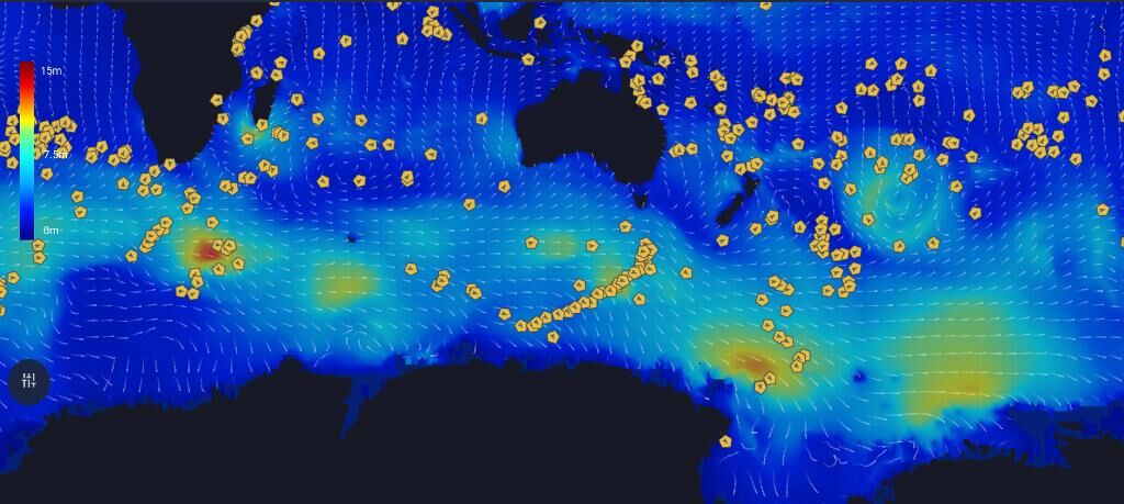
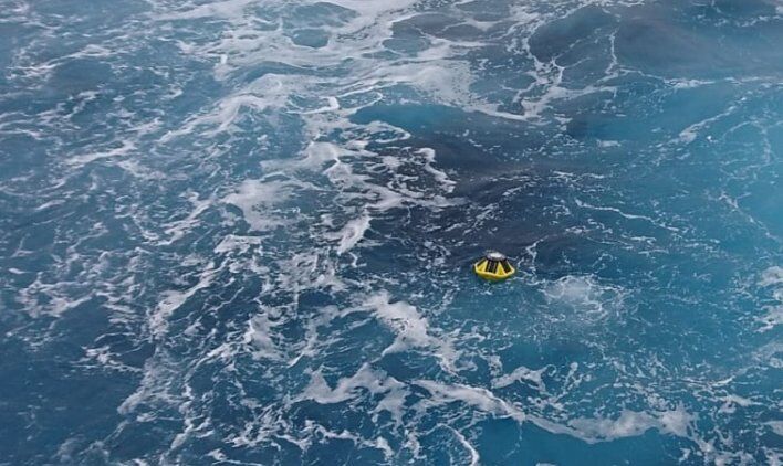
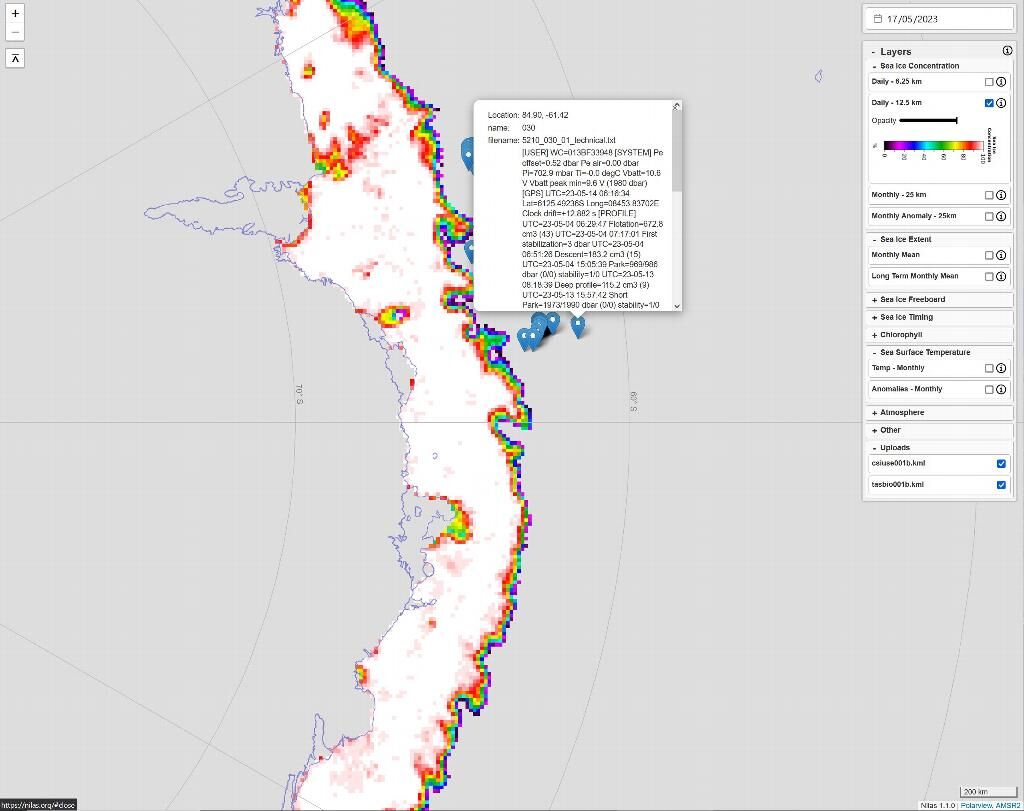
The 2021/22 season has seen a new high in the number of autonomous marine assets deployed, including 30 wave buoys and over 10 bespoke sea-ice units. The latter include deployment of sea-ice mass-balance and stress-gauge units off Davis and Casey stations and from autumn to spring and through late winter and early spring, respectively. Units deployed off Casey Station were developed under AAS4597 and jointly analysed for ice-wave interaction. Critically the new vibration units provide invaluable information on the cracking of sea ice, in addition to measuring the sea-ice velocity. Data of ice vibrations, wind speed, air/ice/sea temperature, atmospheric pressure and ice thickness from the 2021 deployments are under investigation and will provide invaluable guidance for the design of next generation wave-ice buoys for the MIZ Study (AAS4625).
Summary of the season 2020/21
At the heart of this project is the collection of near-realtime in situ data across different surfaces: Glaciated, fast- and pack ice and ocean. During 2020/21 the our network was based on the following components:
1. Climate Automatic Weather Stations [AWSs]
2. Antarctic Fast-Ice Network [AFIN]
As AAP shipping was provided by a short-term contractor bridging between RSV Aurora Australis and RSV Nuyina, no underway sea-ice observations (following the SCAR-endorsed ASPeCt protocol) were conducted during 2020/21.
Our AWS network operated unchanged from the previous season, with data reported in near-real time to operational and Numerical Weather Prediction centres via the Global Telecommunication System. Unfortunately the schedule maintenance of the the AWS on the Amery Ice Shelf to replace anemometers could not be carried out, due to the lag of aerial logistics in consequence of COVID19. We look forward to this being rescheduled for 2021/22.
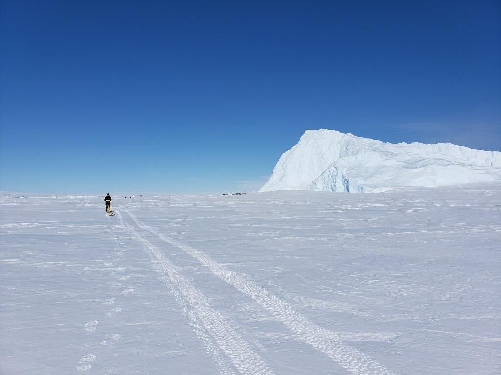
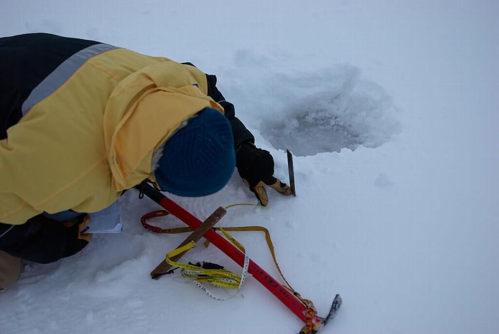
AFIN activities were carried out at all three continental stations, and include direct measurements of snow- and ice thickness, the recovery of ice, snow and water samples, as well as the deployment and recovery and data collection by means of autonomously operating instrumentation. Instruments were deployed to capture a range of (mostly sea-ice) parameters, and include mass-balance units, stress gauges, or meteorological sensors. These activities have only been possible due with the support of AAP expeditoners and staff as well as of national and international colleagues.
Data acquisitions and development of new equipment, including an autonomous sea-ice observing sensor suite for standarsized observations, i.e., for the incoming RSV Nuyina, have been discussed with the end users, including researchers (including those in numerical modelling or data assimilation), satellite agencies or operational organsations. Notably, the AFIN main site at Davis has been accepted as a World Meteorolocal Organisation GCW CryoNet site.
Summary of the season 2019/20
To determine the processes responsible for driving the polar ocean-ice-atmosphere system, one needs to gain a clear understanding of the individual interactions between the different cryospheric components. Sustained and well distributed observations are key to provide the required information to build such knowledge. This project has set out to coordinate the Australian Antarctic near-surface cryospheric and atmospheric observations nodes, including the Antarctic Automatic weather stations (providing sustained longterm meteorological and cryospheric data from remote parts of the Antarctic ice sheet), the Australian nodes of the Antarctic Fast-Ice Network [AFIN] at Davis, Mawson and Casey stations (fast-ice and auxiliary measurements are taken via autonomous sensors or (semi-) manually), and marine underway observations (bridge-based observations of the pack ice from supply- or research vessels on all Antarctic AAS voyages).
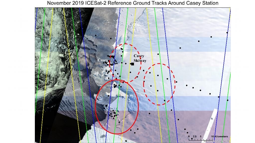
This project received approval part-way into the 2019/20 assessment period. All routine measurements and instrumentation were transferred to this project (AAS 4506). In addition, AAS 4506 saw the deployment of two expeditioners, to collect in situ measurements of fast-ice and ice-sheet properties, with the objective to contribute to an invaluable three-tiered dataset of crysopheric measurements together with near-coincident space-borne ICESat-2 measurements and airborne NASA's Operation Ice Bridge observations. This was the first multi-tiered sampling of the East Antarctic near coastal cryosphere. While the station deployment had been short and there were endurance limits of the airframe deploying out of Hobart, Australia, invaluable data have been collected. Initial analyses is underway and the experience derived here is used in refining the sampling strategy for such multi-scale projects.
Related publications
-
Closing the Loops on Southern Ocean Dynamics: From the Circumpolar Current to Ice Shelves and From Bottom Mixing to Surface Waves Reviews of Geophysics, 2024
(Ref: 17172)
Authors:Bennetts L.G.Shakespeare C.J.Vreugdenhil C.A.Foppert A.Gayen B.Meyer A.Morrison A.K.Padman L.Phillips H.E.Stevens C.L.Toffoli A.Constantinou N.C.Cusack J.M.Cyriac A.Doddridge E.W.England M.H.Evans D.G.Heil P.Mc C.Hogg A.Holmes R.M.Huneke W.G.C.Jones N.L.Keating S.R.Kiss A.E.Kraitzman N.Malyarenko A.McConnochie C.D.Meucci A.Monteil F.Neme J.Nikurashin M.Patel R.S.Peng J.Rayson M.Rosevear M.G.Sohail T.Spence P.Stanley G.J.Category 1: Peer-reviewed literature
A holistic review is given of the Southern Ocean dynamic system, in the context of the crucial role it plays in the global climate and the profound changes it is experiencing. The review focuses on connections between different components of the Southern Ocean dynamic system…
-
Dynamics and influence of environmental processes on the coastal marine system of the Vestfold Hills, East Antarctica Antarctic Science, 2025
(Ref: 17470)
Authors:Category 1: Peer-reviewed literature
Antarctic ice-free coastal environments, like the Vestfold Hills (East Antarctica), are shaped by a complex interplay of physical processes. This study synthesizes new data and existing research from the Vestfold Hills across marine, terrestrial and cryosphere science, meteorology, geomorphology…
-
High-resolution ocean sea ice model outputs to predict species distribution: case study of crabeater seal Lobodon carcinophagus in East Antarctica Marine Ecology Progress Series, 2025
(Ref: 17421)
Category 1: Peer-reviewed literature
Species distribution models (SDMs) quantify the relationship between species presence and environmental factors. They are often used to guide conservation management plans, but limited availability of environmental and biological data in undersampled regions, such as the Southern Ocean…
-
Constraining Future Antarctic Warming Under Five Different Emissions Scenarios in the CMIP6 Multi-Models Geophysical Research Letters, 2025
(Ref: 17380)
Category 1: Peer-reviewed literature
The Coupled Model Inter-comparison Project Phase 6 (CMIP6) multi-models predict future warming over Antarctica under five different scenarios, but their uncertainties remain high and have not been well constrained.
-
Impacts of Antarctic summer sea-ice extremes PNAS Nexus, 2025
(Ref: 17363)
Authors:Category 1: Peer-reviewed literature
Antarctic sea ice plays many crucial roles in the physical environments and ecosystems of Antarctica and the Southern Ocean. In this study, we synthesize the physical, biogeochemical, ecosystem, and societal impacts of summers with extreme low Antarctic sea-ice coverage.