
Project information
Project aim
East Antarctica's subglacial topography is incredibly high and rugged for a stable continent. This frontier science proposal seeks to understand the drivers of this unusual topography, which are little studied and remain essentially unknown. We will study three fundamentally different areas of East Antarctica to determine how tectonics and erosion have influenced topography. Using recently collected datasets, we will map onshore geology and model onshore erosion since Gondwanan times. These new onshore observations will be linked with reinterpreted seismic data offshore to constrain the probable timings of events, and to understand where sediment moves to once it has been eroded. We anticipate that this research will develop new understandings of how the unique environment of East Antarctica has generated high, diverse and rugged topography within a "stable" craton. These results support broader initiatives to understand Gondwanan tectonics and Antarctica's cryospheric evolution
Project milestones
Summary of the project achievements 2018/19
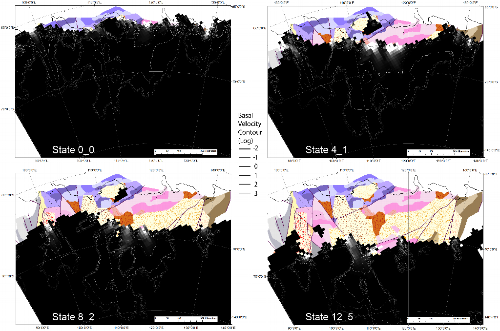
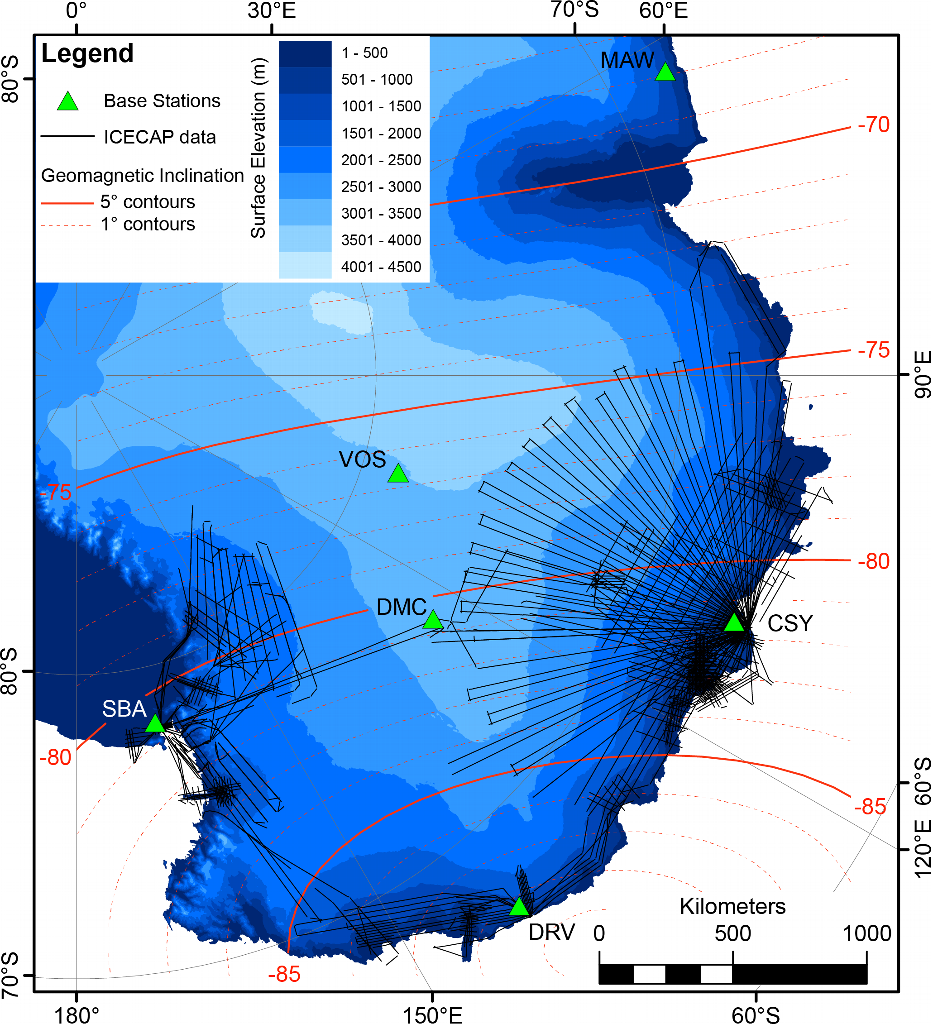
The work done in this project has led to new understandings with respect to the tectonic and glacial development of the western Wilkes Land region. Key achievements have been the reprocessing of aerogeophysical and marine datasets to provide new capacity to interpret terrestrial and marine geology. These new interpretations are used to understand key components of the region's characteristics in the present, as well as its past history in pre-glacial and post-glacial times. The project results also delineate changes in the glacial system as seen in the offshore geological record, with implications for scientific drilling programs and the modelling of glacial flow and sediment transportation through time. New data has been generated that maps out, from low-temperature thermochronology on rock samples, the thermal evolution of the crust. This data revealed crucial aspects of the pre-glacial evolution of the region's landscape, and while it did not directly reveal any glacial influence, carries implications for the topographic evolution during the glacial period.
Summary of the season 2017/18
The first season of this program has focused on the analysis of rock samples, interpretation of onshore magnetic and gravity data and offshore seismic data and building and testing of new methodologies and their application to test data. These data-processing workflows are applied to existing data.
Related publications
-
Pangea rifting shaped the East Antarctic landscape Tectonics, 2020
(Ref: 16347)
Category 1: Peer-reviewed literature
-
A probabilistic and model-based approach to the assessment of glacial detritus from ice sheet change Palaeogeography Palaeoclimatology Palaeoecology, 2021
(Ref: 16345)
Authors:Category 1: Peer-reviewed literature
-
A magnetic data correction workflow for sparse four?dimensional data Journal of Geophysical Research - Solid Earth, 2020
(Ref: 16346)
Category 1: Peer-reviewed literature