
Project information
Project aim
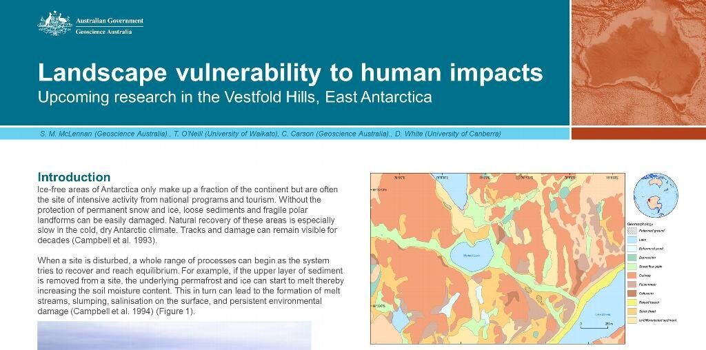
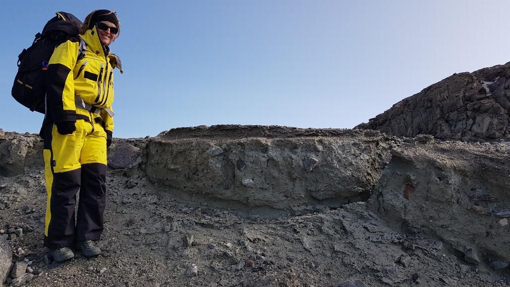
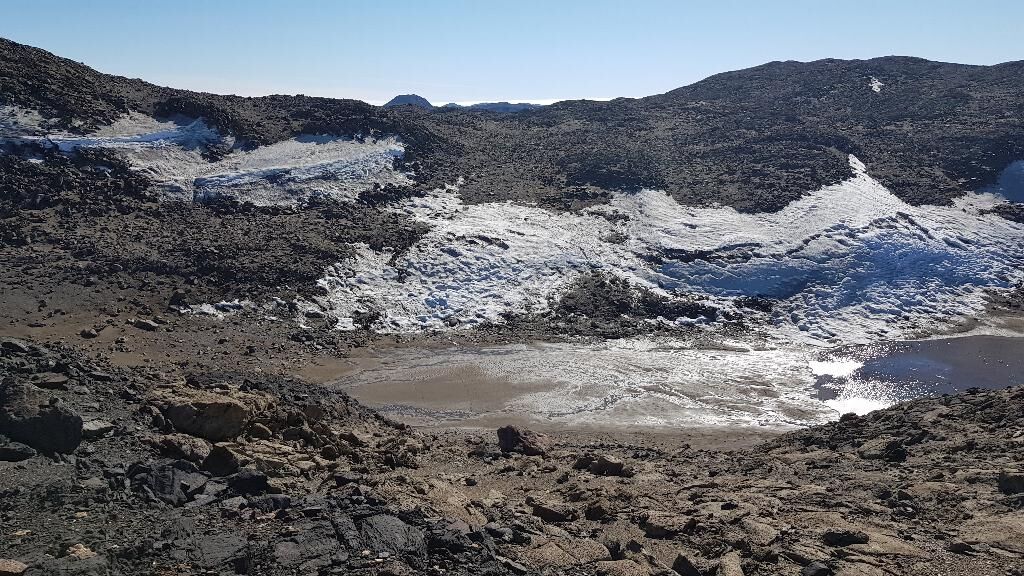
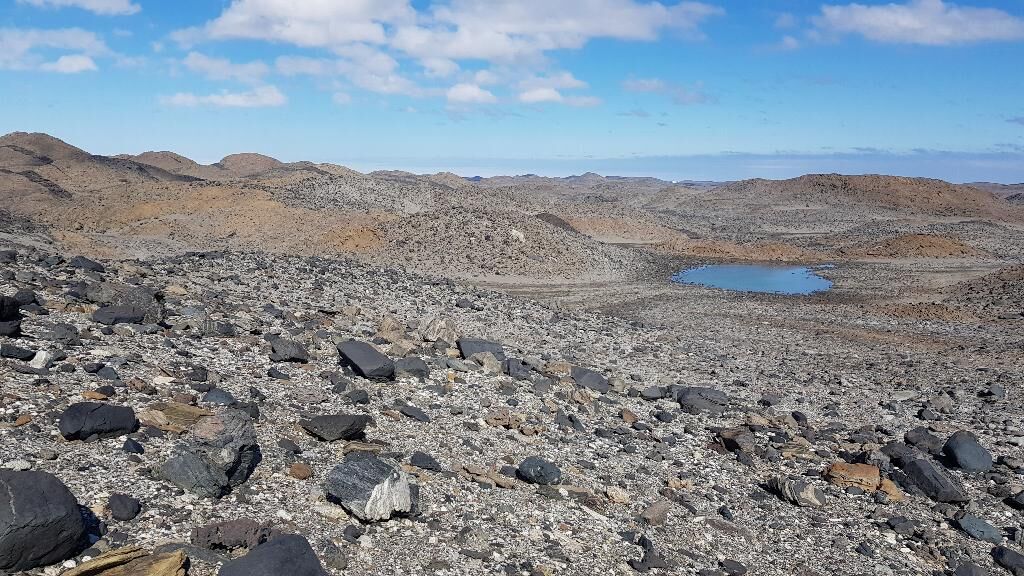
Ice-free regions in Antarctica are often the focus of scientific research, infrastructure, and tourism but without the protection of snow and ice, are strongly impacted by human activities. These landscapes are important habitats for biota but are potentially highly vulnerable to disturbance from foot or vehicular traffic or other inadvertent impacts. Such impacts can disturb unconsolidated sediments and fragile polar landforms. Natural processes that erase visual and physical human traces on the polar landscape are significantly slower than in warmer climates. Evidence of human impact can last for decades.This project will characterise the physical landscape of the Vestfold Hills, Prydz Bay, to assess how different landscapes respond to disturbance, and how they naturally recover over time. The project will deliver information to improve management and conservation practices in the Vestfold Hills and establish a benchmark for assessing other ice-free regions in East Antarctica.
Project milestones
Summary of the project achievements 2020/21
This project has generated new information and techniques for the Australian Antarctic Program to better assess ice-free environments and their vulnerability to damage. We have achieved this through new observations and data, like sediment properties and landforms, and products like maps, to provide decision makers and scientists with fundamental information about these fragile environments. New knowledge from the project has supported protected area management and environmental assessments. The project has enabled development of specialist technical expertise in terrestrial environmental management which supports the Australian Antarctic Program and has led to new areas of research which are being pursued beyond the life of this project.
Summary of the season 2019/20
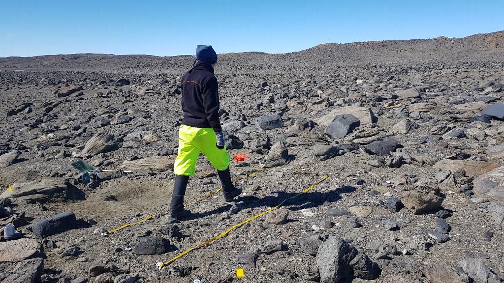
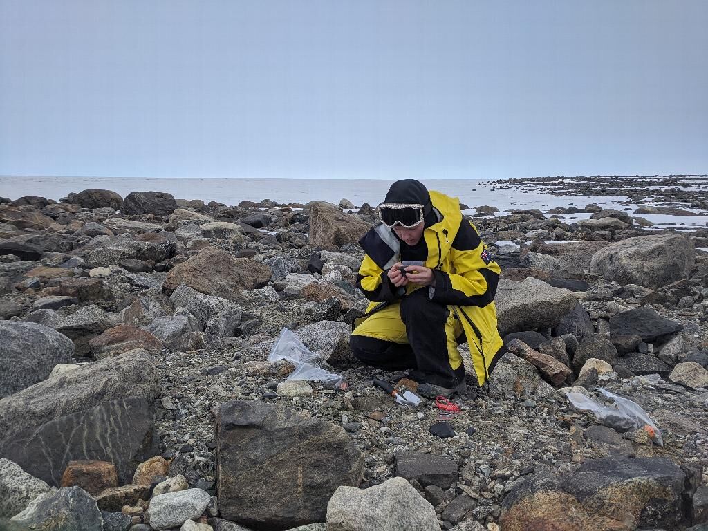
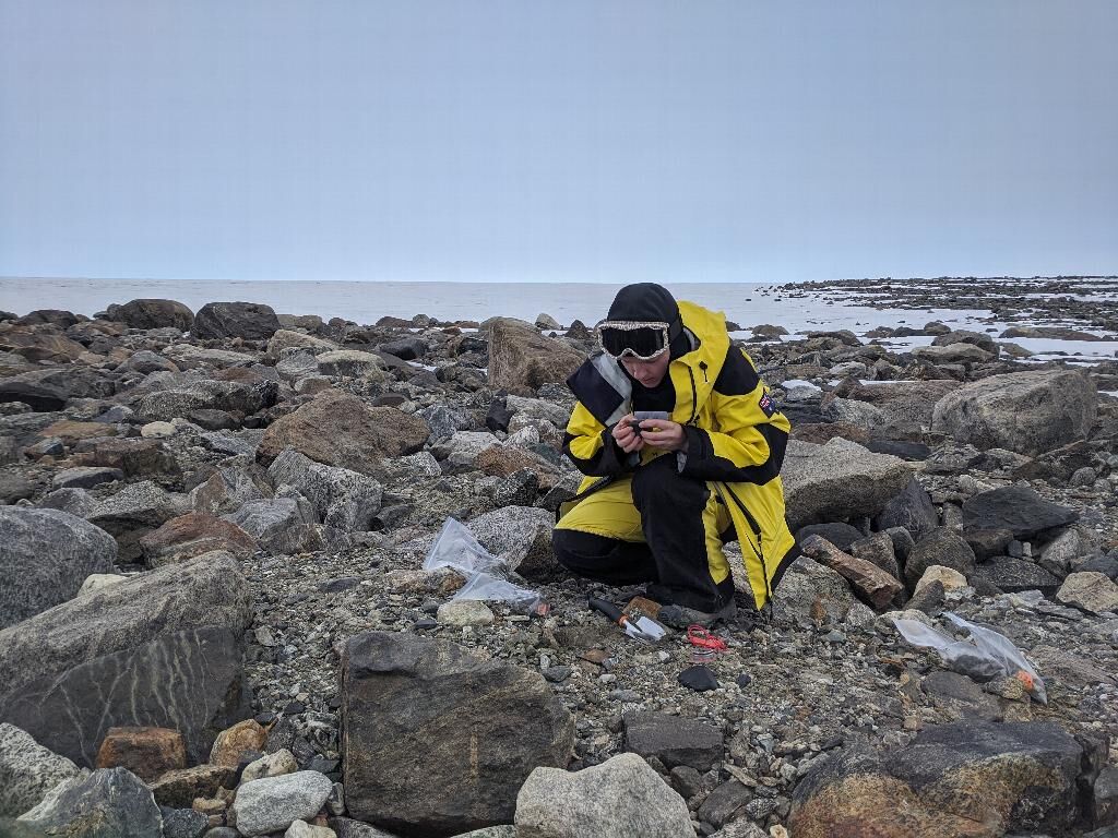
This summer saw the second of two field seasons for the project. Over six weeks based at Davis station, we collected samples and observations from key sites across the Vestfold Hills, double the number of sites we managed last season. Last year three test sites were set up to track change over the year. These were revisited, the temperature loggers removed, and new samples and images captured. Early indications show that the test sites recovered faster than expected from repeated foot traffic. We also ran several successful drone surveys, trialling the use of a small Remotely Piloted Aircraft to complement ground-based image collection. Sample analysis from 2018/19 has been complete and now data processing and mapping will progress.
Summary of the season 2018/19
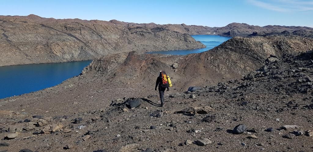
This year saw successful completion of the first phase of fieldwork in the Vestfold Hills, East Antarctica. The field party took samples and observations across Broad Peninsula over four weeks in the field and thanks for good weather and excellent operations support were able to complete all objectives. Three test sites to assess the impact and recovery from foot traffic were also set up as planned. Temperature probes were installed and will be monitored by the wintering party at Davis. Processing of photogrammetry data has begun and preliminary results look promising as a way to record and measure impact.
Summary of the season 2017/18
In the first year of the project the gap analysis and desktop study components were completed. A data compilation - 'Compilation of terrestrial samples and observations from the Vestfold Hills, East Antarctica' - has been released. Preliminary landform mapping was undertaken from aerial photography and satellite imagery and is ready to be refined in the field.