
Project information
Project aim
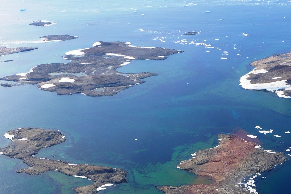
This project will derive bathymetry information from high-resolution, multispectral satellite imagery in the shallow waters of Antarctica. Bathymetry is a fundamental baseline dataset necessary to understand, manage and conserve Antarctica's sparse and vulnerable shallow water coastal ecosystems. The Antarctic shallow nearshore environment is rare and highly fragmented around the continental margin, and is particularly vulnerable to environmental change and human impact. Multispectral satellite mapping is one of the most efficient means of deriving bathymetry information in shallow waters, providing information for large areas and remote regions with minimal logistical support and cost requirements. There are a number of technical challenges to using empirical methods in high-latitude regions, so this project will test current methods as well as develop new methods to derive bathymetry data and expand our knowledge of inaccessible nearshore areas.
Project milestones
Summary of the project achievements 2021/22
This project has demonstrated the utility of satellite-derived bathymetry (SDB) to map shallow Antarctic coastal waters. Bathymetry is a fundamental baseline dataset necessary to understand, manage and conserve Antarctica's sparse and vulnerable shallow-water coastal ecosystems. The shallow Antarctic coastal environment is rare and highly fragmented around the continental margin and is particularly vulnerable to environmental change and human impact.
Multispectral satellite mapping is one of the most efficient means of deriving bathymetry information in shallow waters, providing information for large areas and remote regions with minimal logistical support and cost requirements. SDB offers the potential to fill key data gaps in areas difficult to access using traditional mapping techniques (e.g. multibeam bathymetry surveys). However, there are a number of technical challenges to using common empirical methods for SDB in high-latitude regions and to date, there have been no attempts to use this technique to map shallow Antarctic coastal waters.
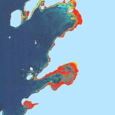
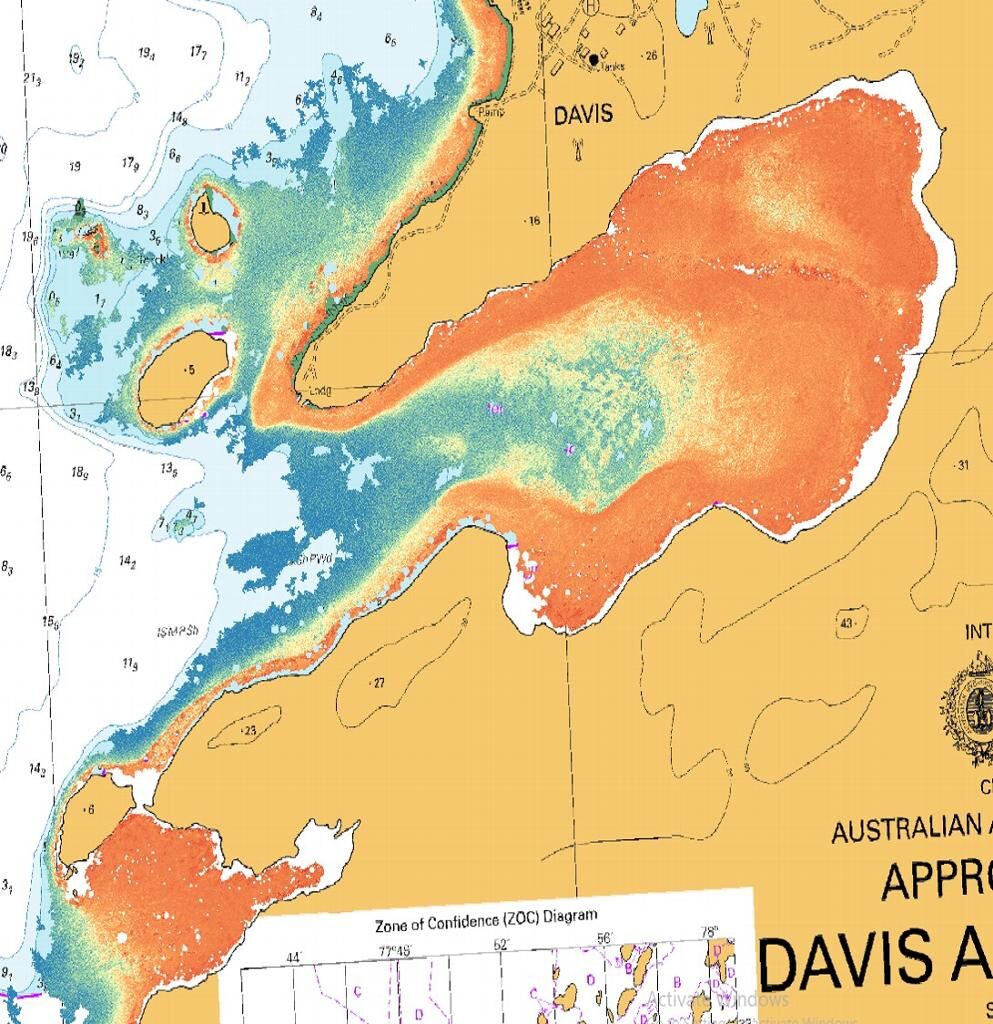
This project tested methods to derive bathymetry data near Australia's Antarctic stations and expanded our knowledge of inaccessible nearshore areas. The optical complexity of Antarctic waters, problems with suitable multispectral imagery, and the prevalence of dark benthic substrates make Antarctica perhaps the most challenging part of the world to map shallow waters using SDB. This study demonstrates it is possible to produce empirical-based SDB using commercial high-resolution multispectral imagery and high-quality bathymetry in Antarctic waters. However, the maximum depths mapped in this study (5-7 m) are shallower than that achievable in other regions using similar datasets and methods.
Summary of the season 2020/21
The project has progressed slowly over the past year. Atmospheric corrections have been applied to the three WorldView 2 (WV2) images with no measureable difference between different techniques. Georeferencing issues remain a challenge. The project has engaged a spatial analyst (on secondment from the Australian Hydrographic Office (AHO)) to progress this project. The spatial analyst will work on the project full time for 3 months from April 2021. This will fast-track the data analysis and ensure bathymetry products are delivered to the AHO and other end users as soon as possible. Initial results show some success in deriving bathymetry from satellite imagery in Antarctica.
Summary of the season 2019/20
The satellite-derived bathymetry project has acquired additional high-resolution multispectral satellite imagery and has engaged closely with the Australian Hydrographic Office (AHO).
Satellite-derived bathymetry offers potential to fill AHO requirements for additional bathymetry data around Australia's Antarctic stations and informs nearshore environmental management. A new co-investigator from AHO has been included in the project to ensure AHO requirements are met and to bring additional resources to the project. This new collaboration provides access to specialist software for satellite-derived bathymetry analysis and will enable a comparison between empirical and physics-based approaches.
The project purchased additional WorldView2 imagery from the Mawson region as this is an area of high priority for the AAD and AHO.
Data analysis has been impacted by a number of constraints on the project.
Summary of the season 2017/18
In the initial stages of the project, we have made good progress on data compilation and preliminary analysis in our focus areas of the Vestfold Hills and Windmill Islands. We have compiled bathymetry datasets and commenced atmospheric corrections and georeferencing of the WorldView2 imagery to established high-quality input datasets from which we can now begin to undertake the derived bathymetry calculations. On a broader scale, we have been exploring new techniques to delineate shallow water areas along the entire coastline. We have investigated the utility of various satellite imagery products and determined that Sentinal-2 offers potential to distinguish shallow and deep water areas along the entire coastline.