

Project information
Project aim
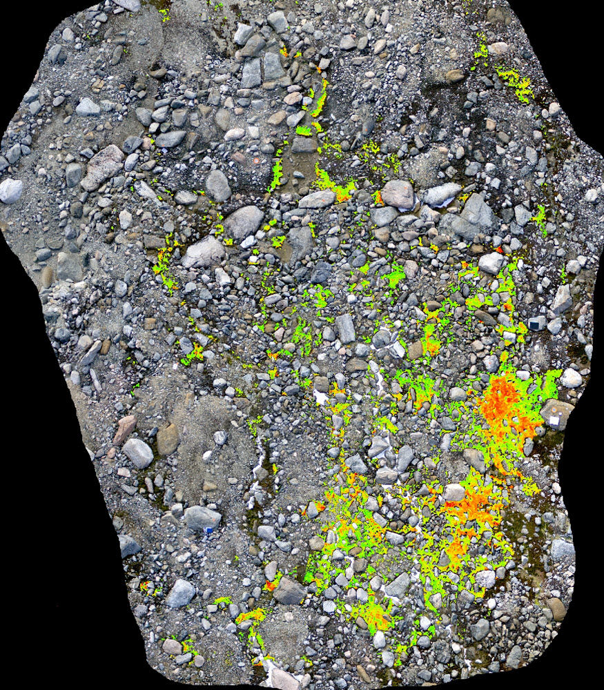
Despite Antarctica’s sensitivity to climate change, few robust studies investigating the response of Antarctic vegetation to such changes exist. To fill this gap an Antarctic Nearshore and Terrestrial Observing System (ANTOS) - a coordinated network of long-term representative sites for monitoring and assessing impacts of climate change has been proposed. Methodology for ANTOS requires mapping methods that allow detailed inventory and spatial monitoring of changes in these vulnerable ecosystems. We have demonstrated that remote sensing from Unmanned Aircraft Systems can provide ultra-high resolution imagery of moss health distribution. This project will develop the first phase of a large-scale operational ANTOS, by analysing existing ground and unmanned airborne observations of terrestrial ecosystems. We will identify the optimal remote sensing configuration for large-scale surveys in the future, enabling exploration of remote areas and detailed monitoring of conservation bioregions.
Project milestones
Summary of the project achievements 2017/18
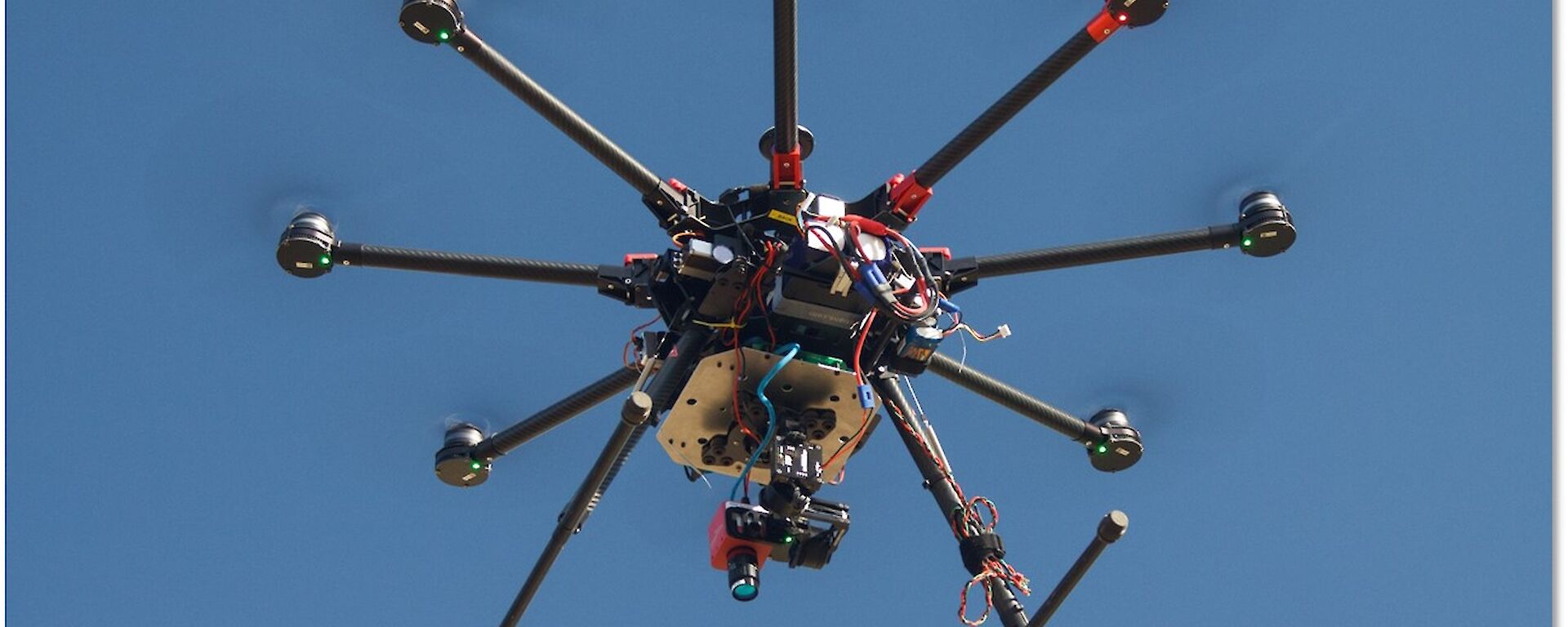
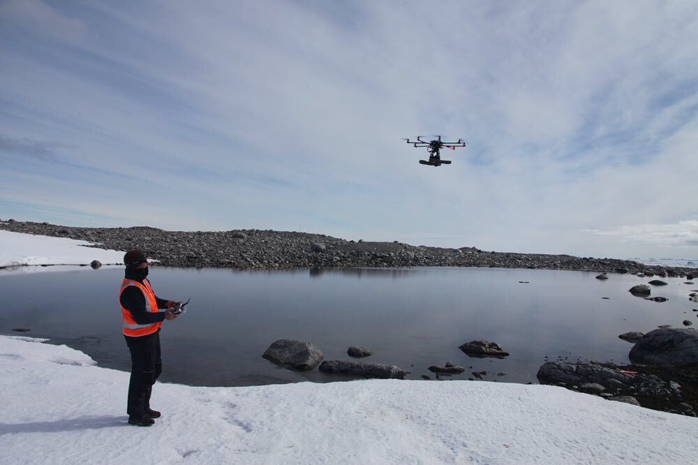
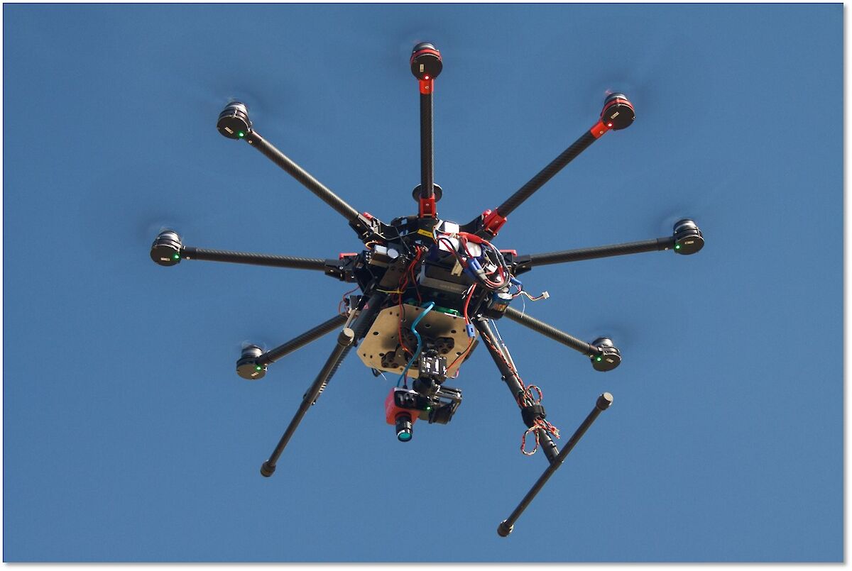
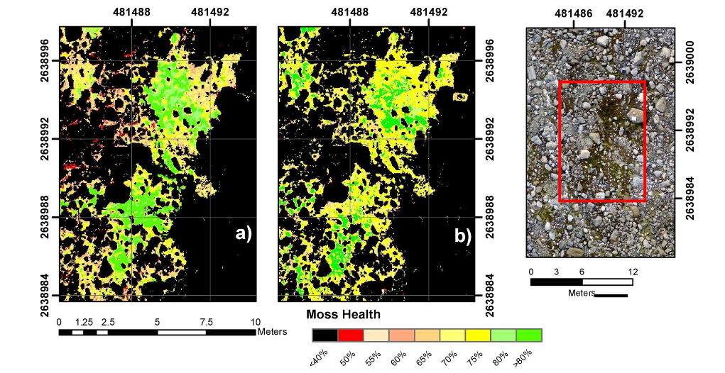
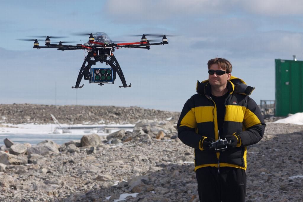
The aim of this project was to develop and optimise the methodologies and sensors required to efficiently and accurately monitor moss ecosystems in Antarctica. Results gleaned from the data collected by Unmanned Aerial Systems (UAS) deployed in 2011 and 2014 were very promising. We successfully calibrated the thermal data to surface temperature values and multispectral data to surface reflectance values. The visible data was used to reconstruct the surface topology and from this, derivatives such as roughness and wetness were extracted. From this set of multi-sensor data, we used a machine learning algorithm known as a Random Forest Model to estimate moss health as validated against ground observations collected by biologists at the same time. The model was then applied to datasets from 2011 and 2014 for change detection purposes. Hyperspectral data was also used to predict Leaf Density and Chlorophyll content in the moss beds. The accuracy of this prediction was then examined as the spectral and spatial resolution of the data was changed. Finally the temporal change in the spectral qualities of the moss bed over a diurnal cycle was examined. We found that for our experimental site the spectral signatures were relatively constant over short temporal time scales (hours). By completing all these experiments, we have developed a non-invasive and optimised technique for moss health monitoring at the optimal spatial and spectral scale in Antarctica.
Summary of the season 2016/17
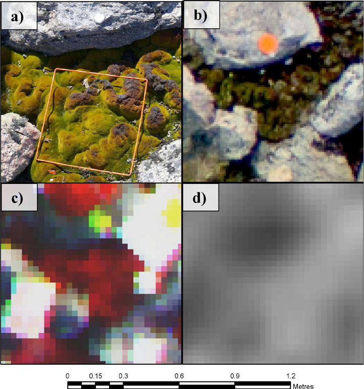
This project is looking to develop and optimise the methodologies and sensors required to efficiently and accurately monitor moss ecosystems on the Antarctic mainland. Initial results derived from the data collected by Unmanned Aerial Systems (UAS) deployed in 2011 and 2014 are very promising. In 2016/17, we have concentrated on assessing which of the UAS sensors (RGB, multispectral, hyperspectral, and thermal) are the most useful for determination of Antarctica moss bed health. The results of our research confirm that the multispectral camera is of greatest use for this purpose. However, data from the RGB and thermal sensors are also useful, in particular the terrain data that is derived from the 3D models.
We have used laboratory validation data to further understand how well bio-physical/chemical traits of the moss beds can be related to data collected by imaging devices that are sensitive to the near-infrared wavelengths. From these laboratory spectral signatures we have modelled traits such as chlorophyll content. The models have been run with simulated degradation of the image resolution, both spatially and spectrally. Early results show that some of the new hyperspectral frame cameras may have the required spatial and spectral resolution to measure moss health.
The knowledge gained so far in this project provides concrete information on the most efficient and accurate way to collect any future UAS datasets in Antarctica for mapping and monitoring of moss ecosystems. In doing so, we are developing a non-invasive technique for moss health monitoring at the optimal spatial scale.
Summary of the season 2015/16
This project is looking to develop and optimise the methodologies and sensors required to efficiently and accurately monitor moss ecosystems on the Antarctic mainland. Initial results gleaned from the data collected by Unmanned Aerial Systems (UAS) deployed in 2011 and 2014 are very promising. We have been able to successfully calibrate the thermal data to surface temperature values and multi-spectral data to surface reflectance values. The visible data has been used to reconstruct the surface topology and from this, derivatives such as roughness and wetness have been extracted. From this set of multi-sensor data, it has been possible to use a machine learning algorithm known as a Random Forest Model to estimate moss health as validated against ground observations collected by biologists at the same time. Early results suggest the accuracy of this model will have an accuracy of 5-10%. The model can then be applied to both datasets (2011 and 2014) such that change detection can be applied. As this model matures it is envisaged it will be capable of modelling moss health for any future UAS datasets collected in Antarctica. In doing so, we are developing a non-invasive technique for moss health monitoring at the optimal spatial scale.