
Project information
Project aim
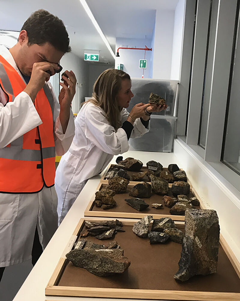
The sub-glacial geology of East Antarctica remains one of the most mysterious frontiers on Earth. Yet the underlying tectonic architecture records evidence of repeated supercontinent cycles and provides the template for palaeo- and modern topography and heat flow crucial to the evolution of the Antarctic ice sheet. The Queen Mary Land and Wilkes Land sectors are particularly poorly understood. The continental crust here comprises fragments that collided to form part of the East Gondwana continent ~500 million years ago. In this project we will analyse key rock samples previously collected near the collision zone. We will derive new age and geochemical constraints allowing us to ground-truth domains delineated by recent geophysical surveys and apply these datasets to a revised tectonic model. Quantifying terranes in this sector of East Antarctica will lead to a greater appreciation of the role of tectonic boundaries and geothermal heat flow on the behaviour of the Antarctic ice sheet.

Project milestones
Summary of the project achievements 2017/18
Collisional mountain belts produced by Ediacaran-Cambrian assembly of Gondwana had a profound effect on Earth evolution, with their rapid erosion linked to changes in ocean chemistry, increased atmospheric oxygen, the rise of metazoans and the Cambrian explosion.
The most enigmatic Gondwana-forming orogen lies beneath the ice in East Antarctica. Often called the Kuunga orogen and interpreted as a collision zone between Indo-Antarctica and Australo-Antarctica, this belt was dismantled during Gondwana breakup with much of the Indian segment reworked by collision with Asia, and the remainder mostly concealed by sedimentary basins in India and Australia and an ice sheet in Antarctica. It had a probable length >4000 km, with paleomagnetic data suggesting 3000–5000 km of movement between Indo-Antarctica and Australo-Antarctica between ca. 750 Ma and ca. 500 Ma. These palaeomagentic data imply that orogenesis reflects ocean closure at an Ediacaran-Cambrian plate boundary.
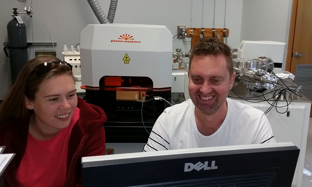
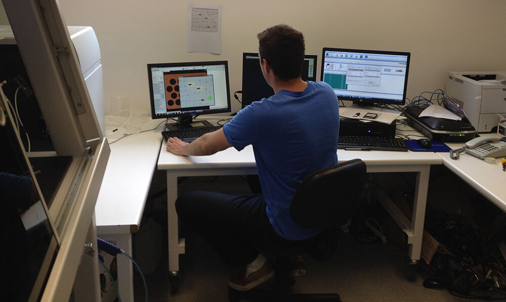
In this project we have dated a selection of key rock samples from the Wilkes-Queen Mary land regions of East Antarctica. These analyses include U-Pb zircon dating at Curtin University, U-Pb monazite dating and feldspar Pb-isotope analysis at University of Tasmania and Hf-isotope zircon analysis at Macquarie University. These data, in combination with published offshore and onshore geochronology, and geophysical interpretations, have allowed us to develop a new model for closure of the ancient Mawson Ocean and amalgamation between the Indo-Antarctic and Australo-Antarctic continents to form Gondwana some 700-550 million years ago. We identify a Gondwana-forming plate boundary zone between Indo-Antarctica and Australo-Antarctica east of Mirny at ~94°E, and we hypothesise that this paleo-plate boundary continues into the subglacial interior close to Lake Vostok and then heads west through the Gamburtsev Subglacial Mountains.
Summary of the season 2016/17
Our team has continued our analytical program of zircon and monazite dating of key rock samples from Wilkes and Queen Mary lands. We now have U-Pb SHRIMP zircon data for 10 samples and LA-ICPMS zircon data for 6 samples from the Bunger Hills and Denman Glacier regions. We have obtained monazite and Hf-isotope data for 4 of these samples, with the remainder of these analytical programs planned for 2017. We have also compiled U-Pb zircon data from offshore marine sedimentary sequences as a proxy for the coastal subglacial crust to aid in the characterisation of onshore terranes. In allied research projects, we have obtained new ages from offshore and submerged continental crust (Bruce Rise, Naturaliste Plateau, Gulden Draak and Batavia Knolls) that are being integrated with our new Antarctic datasets. Our combined datasets, together with recent geological and geophysical studies in the region, suggest a boundary between crust of "Indian" and "Australian" affinity lies in a poorly explored region between Mirny and the Denman Glacier. Our focus is now to better characterise this boundary zone, and to explore the implications for models of Gondwana assembly and breakup.
Summary of the season 2015/16
During 2015-16 we have dated a selection of key rock samples from the Wilkes-Queen Mary land regions. These analyses include U-Pb zircon dating at Curtin University, U-Th-Pb monazite dating at University of Tasmania and Hf-isotope zircon analysis at Macquarie University. These data, in combination with published offshore and onshore geochronology, have allowed us to ground truth a recent geophysical model for a major ancient plate boundary in East Antarctica, formed during collision between Indo-Antarctica and Australo-Antarctica some 500 million years ago. Our analysis leads us to refute the current hypothesised position, and instead identify a new location for this sub-glacial plate boundary. This new tectonic interpretation resolves long-standing uncertainty and indicates models of Gondwana assembly require reassessment. We hypothesise the sub-glacial tectonic architecture in this region exerts fundamental controls on the geothermal heat flow and sub-glacial hydrology networks and lakes. Our ongoing research will explore these links in detail.