
Project information
Project aim
Both satellite products and climate models have large biases in the energy and water budgets over the Southern Ocean (SO), which is not surprising given this environment's unique nature. The air is free of dust and pollution, and the surface is governed by strong winds, large waves and heavy sea spray. These conditions lead to the greatest fractional cloud cover over any place on the globe. Much of these biases are a direct consequence of a poor understanding of the structure and dynamics of the SO atmospheric boundary layer, which in turn is a consequence of the sparse observations being available due to the harsh conditions. This proposals call for employing unmanned aerial vehicles/systems from Macquarie Island to make unprecedented observations of the boundary layer processes over the SO. These observations will be used to both model the boundary layer dynamics and clouds and evaluate satellite products and numerical simulations of surface fluxes, cloud properties and sea spray.
Project milestones
Summary of the project achievements 2017/18
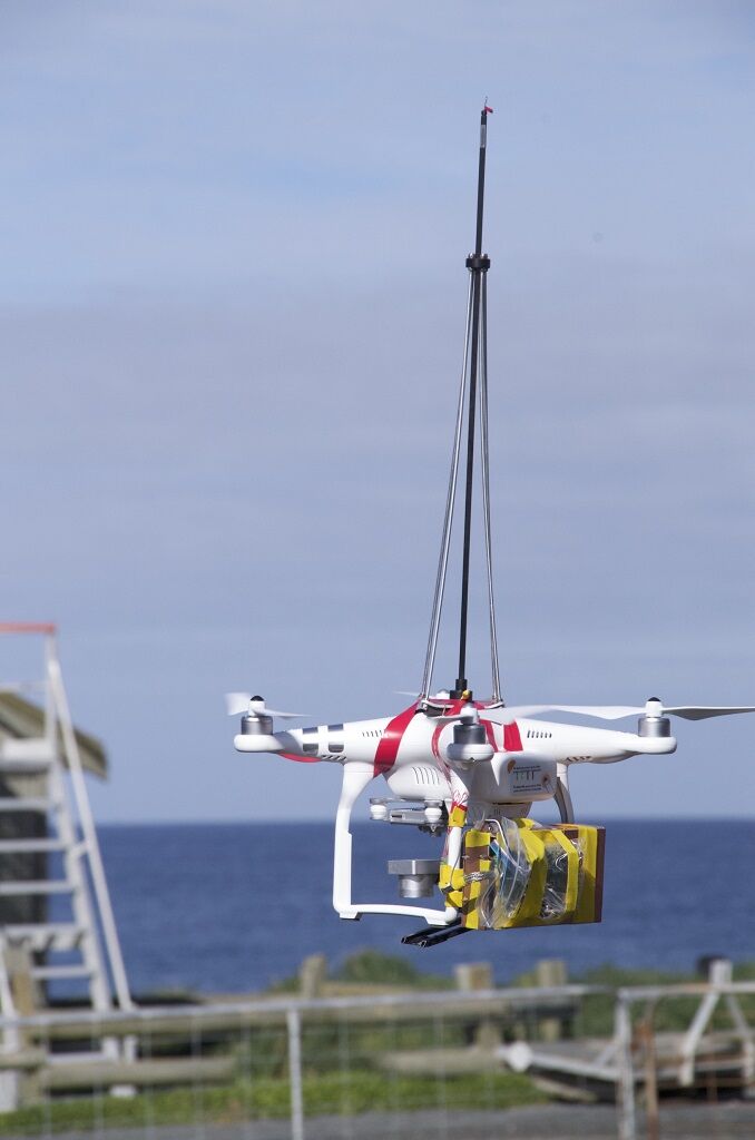
This field work consisted of two components. Instrumented UAV (drones) were deployed to measure surface layer winds, humidity and temperature, making thermodynamic profiles of the atmosphere over Macquarie Island up to 200 meters altitude. Second, a Licor gas analyser was deployed to measure surface CO2 and water fluxes. Both components were part of a larger effort to study the air-sea interactions over the Southern Ocean.
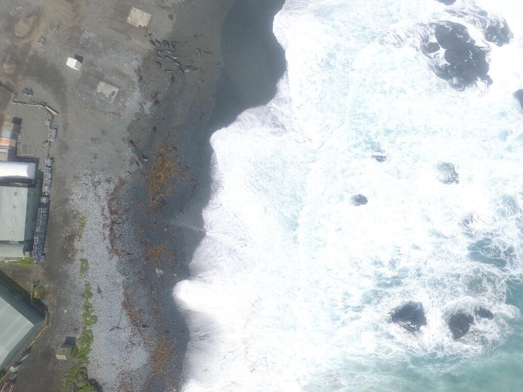
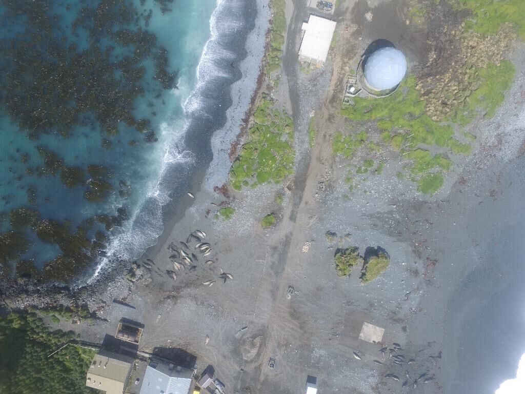
With respect to the original proposal, however, neither component produced high-quality observations for multiple reasons. Most notably, last minute personnel issues prevented a full-time dedicated scientist (PhD student) to conduct these observations during the summer of 2017-2018 as planned. The alternate personnel arrangements limited the ability to both operate the drones and monitor the surface flux observations. Consequently, only five drone observations were undertaken. (The UAVs did produce some valuable aerial imagery over Macquarie Island demonstrating their value to the wider community.)
Also, the flux measurements failed part way through the year. The analysis of these measurements found that they were corrupted by residue build-up from sea spray on the instrument.
Fortunately alternate observations from ACRE/MICRE and the Bureau of Meteorology are being employed to address the primarily research objectives. We have a post-graduate student (Mr. Son Truong) working on this research at present.
This research has led to a better understanding of the nature of precipitation over the Southern Ocean. Using historical observations we demonstrated that the reanalysis concentrates precipitation too heavily along fronts and under represents the precipitation between fronts (Lang et al. 2018). Further research (in preparation) demonstrates that this non-frontal precipitation experiences a large diurnal cycle, particularly during the summer. Solar-synchronised satellite observations (e.g. CloudSat, MODIS) will be biased.
Summary of the season 2016/17
Macquarie Island - Summer 2016-2017
Project 4340 consists of two parts. First, there are on-going observations of surface fluxes (sensible and latent heat fluxes and CO2 fluxes) being made from instruments mounted on the old CSIRO tower. These observations began the winter of 2016 and are scheduled to be concluded in October of 2017.
Second, 1 second observations of the temperature and humidity were made from an instrumented UAV. The aim here is to better understand the thermodynamic structure of the surface layer over the Southern Ocean. These observations will extend surface flux observations. There were many challenges to be overcome in this effort, including personnel. We were unable to staff the position requested for the essentially the entire summer. In spite of these challenges, data were still gathered for five flights. In addition tot temperature and humidity observations, efforts were make observations with an experimental turbulence probe.
Summary of the season 2015/16
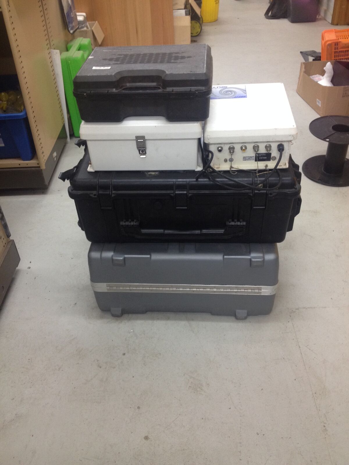
This research is progressing as planned. The instruments necessary to measure turbulence fluxes of CO2, water vapour, heat and momentum were shipped to Macquarie Island on the R/V Astrolabe on the final supply mission of the year. We are awaiting for the Bureau of Meteorology technician, Mr. George Brettingham-Moore, to install the equipment when his schedule permits. He has been in contact with Dr. Ian McHugh (Monash University) regarding the installation.
Also, we are on track to bring Unmanned Aerial Vehicles (UAVs) to Macquarie Island for the summer 2016/2017. We have been informed that CASA will no longer require certification for vehicles that weigh less than 2 kg. We have also identified a PhD student (Ms. Vidhi Bharti) to undertake this observations. She will work in connection with A/Prof Murray Hamilton (AAD 4308). We continue to work on procuring the UAVs and the instrumentation on them.