

Project information
Project aim
Australia, France and the European Union are leading a proposal for an East Antarctic Representative System of Marine Protected Areas (MPAs). Existing knowledge indicates that the East Antarctic margin consists of a diversity of benthic habitats, supporting diverse communities of benthic biota. This proposal will analyse existing and planned physical and biological datasets and collect new data in targeted regions. Statistical analysis of the datasets will improve our understanding of habitats and communities and the relationships between biota and seafloor properties within the East Antarctic region. This information will enable identification of areas of high conservation value and the ability to assess potential impacts due to natural or anthropogenic change. Importantly, this project will provide information, data and advice to representatives to the Commission for the Conservation for Antarctic Marine Living Resources to contribute to management and monitoring of the MPAs.
Project milestones
Summary of the project achievements 2019/20
This project aimed to collate and opportunistically collect seabed information from the East Antarctic margin to provide baseline information for environmental management and decision making. Through this project we have published datasets and scientific publications that provide important insight into seabed sediment texture and composition, seabed bathymetry and geomorphology, and assessment of habitats and community composition. This information has been incorporated into broader scale assessments of the sensitivity of Southern Ocean ecosystems to change, including several publications as part of the Marine Ecosystem Assessment of the Southern Ocean (MEASO), which include specific applications for policy makers. We have discussed our data and publications directly with Australia's CCAMLR representatives, and used this information as a foundation for the advice that we have provided. Throughout the life of this project we have actively sought opportunities to share our knowledge with the general public through outreach and presentations at public events, school visits, release of multimedia (such as seabed flythroughs) and through popular publications and online blogs.
Summary of the season 2018/19
Over the past 12 months we have continued to process, interpret, present data and draft publications based on data collected during previous field seasons. Some additional data has also been collected on our behalf. The primary activities include:
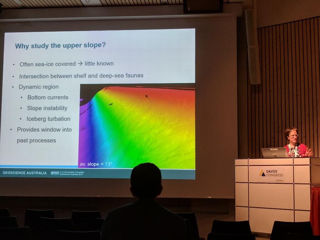
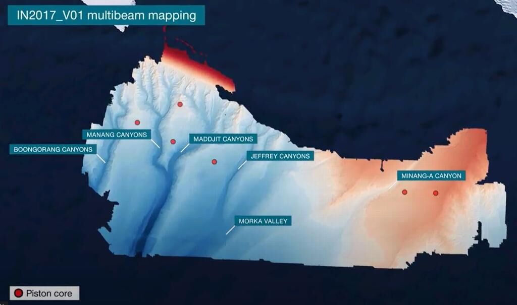
* interpretation of seafloor geomorphology and processes based on bathymetry and sub-bottom profile data collected from the continental slope on the Sabrina seafloor, East Antarctica (IN2017_V01, AASP4333);
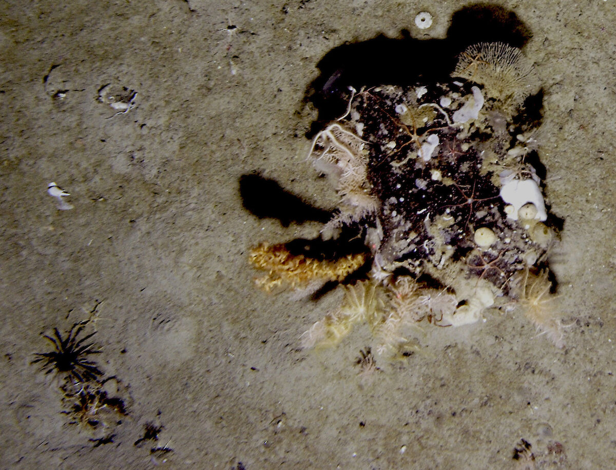
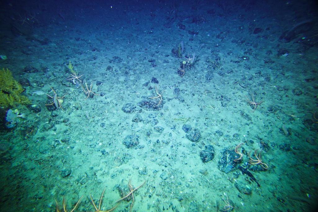
* continued analysis of community composition from seafloor images collected on the upper slope of the Sabrina seafloor, East Antarctica (IN2017_V01; AASP4333);
* Two draft papers (as lead and co-author) on slope environments from the Sabrina seafloor, East Antarctica (IN2017_V01; AASP4333);
* ongoing interpretation of seafloor bathymetry data and habitat implications from nearshore areas adjacent to Davis station (AAS5093/GA0357/HI590);
* Release of a new bathymetric grid for the Davis region;
* Collection of bathymetry data adjacent to Davis and Mawson stations by the Royal Australian Navy for analysis under AAS5093;
* Collection of seafloor sediment samples (for AAP5093) by AAD scientists (from AAP5097) on our behalf adjacent to Davis station;
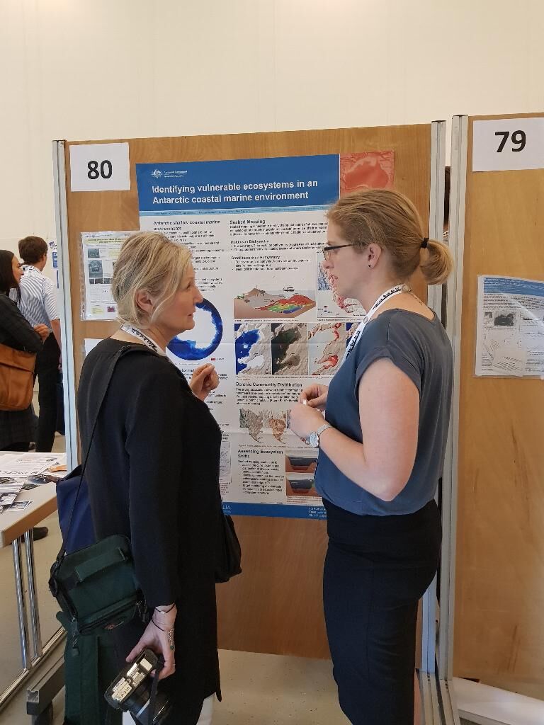
* Presentation of our findings at the SCAR Open Science Conference, the Hydro2018 Conference, the GEBCO Symposium, the Geological Survey of Australia Canberra Branch meeting, and at internal and public seminars at Geoscience Australia.
Summary of the season 2017/18
Over the past 12 months we have processed and begun interpretations of data collected during the previous field seasons. The primary activities include:
* interpretation of seafloor environments, habitats and history based on bathymetry data collected from the upper slope on the Sabrina seafloor, East Antarctica (IN2017_V01);
* preliminary analysis of community composition from seafloor images collected on the upper slope of the Sabrina seafloor, East Antarctica (IN2017_V01);
* processing and preliminary interpretation of seafloor bathymetry data collected from nearshore areas adjacent to Davis station (AAS5093/GA0357/HI590);
* geomorphic interpretation of bathymetry data compiled for the Cape Darnley/MacRobertson Shelf in collaboration with scientists from the National Institute of Polar Research (NIPR), Japan;
* Collection of seafloor sediment samples by the Royal Australian Navy on our behalf adjacent to Mawson station. This was undertaken under our collaborative project AAS5093.
* Presentation of our findings at the 2017 Theo Murphy Australian Frontiers of Science: The Antarctic frontier, at the Marine Ecosystem Assessment of the Southern Ocean (MEASO) conference, at internal and public seminars at Geoscience Australia, and at local primary schools.
* Meetings with AAD scientists and representatives to CCAMLR to discuss our findings and their relevance to broader science objectives.
Summary of the season 2016/17
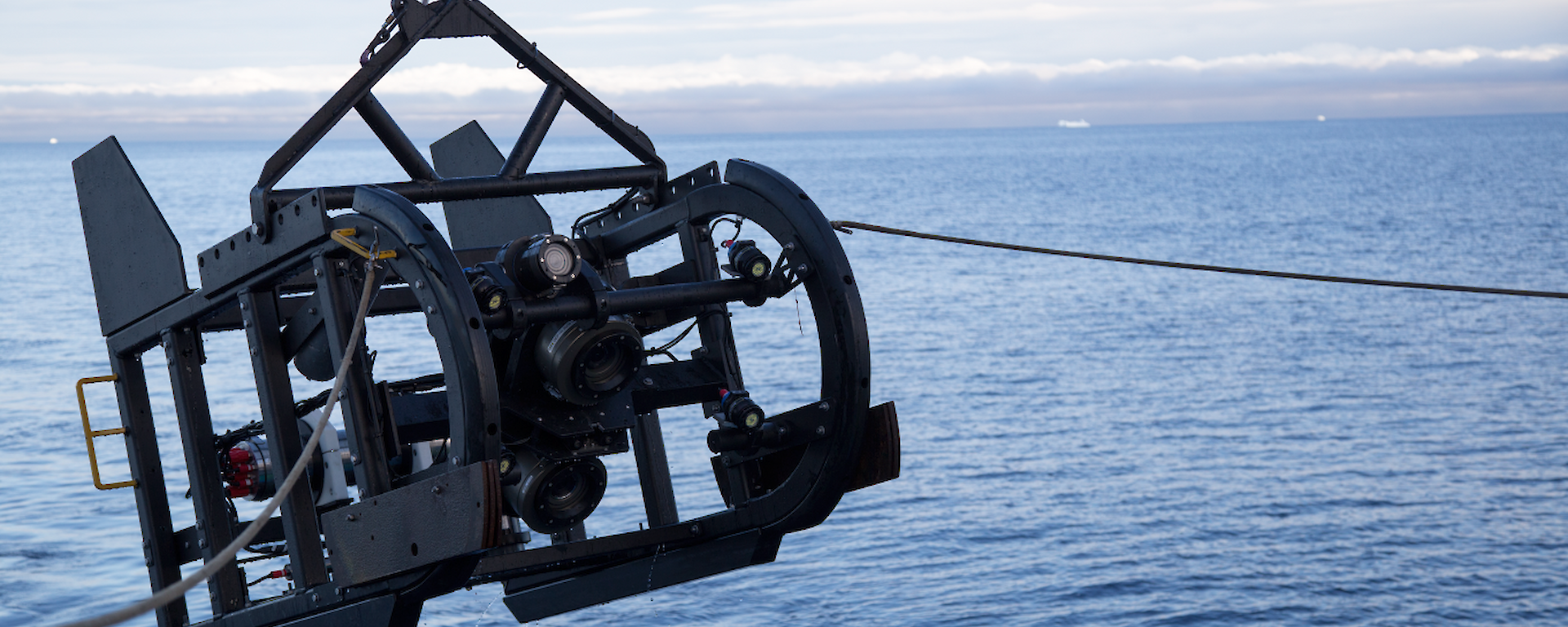
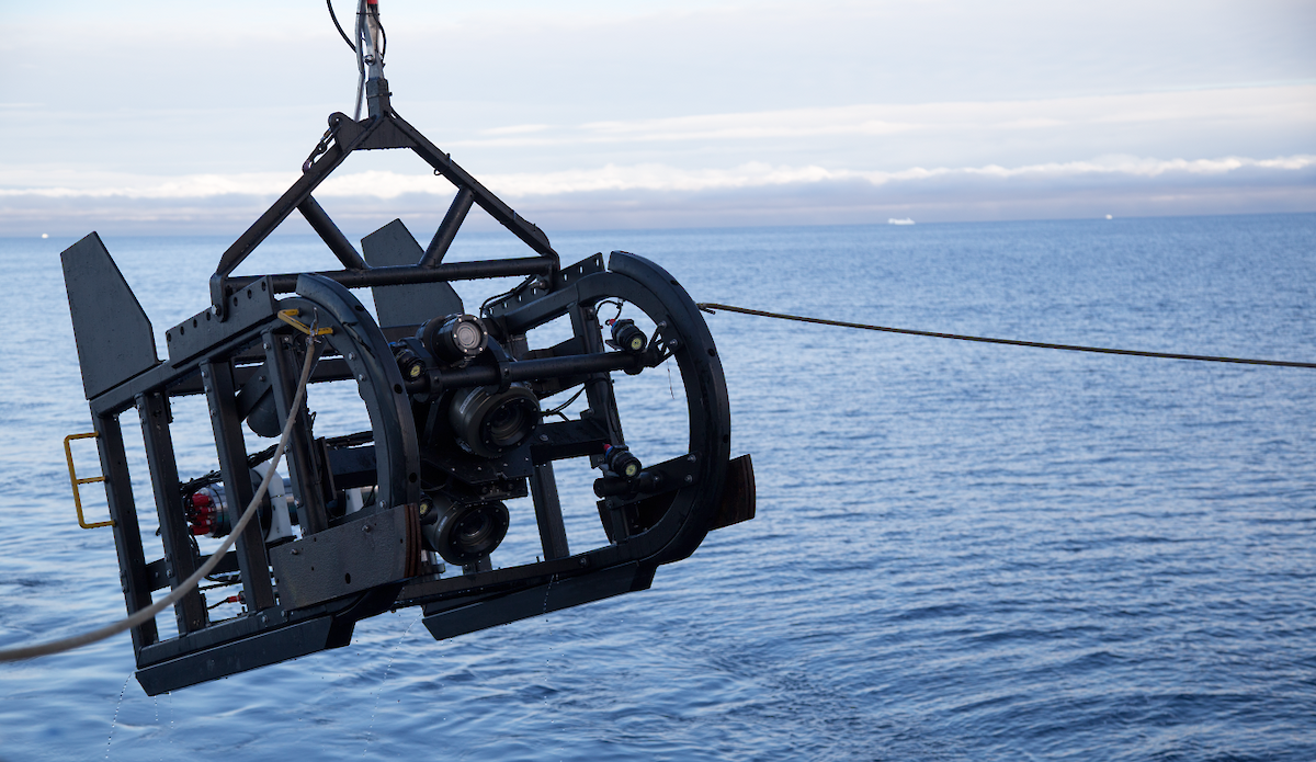
During the last 12 months we have collected significant datasets for this project. A. Post was a PI on RV Investigator voyage (IN2017_V01) led by Macquarie University to sample and map the seafloor along the Sabrina coast. During the 7 week survey we collected underwater footage from 6 transects, we mapped 48,000 km2 with multibeam sonar and sub-bottom profiles, and we collected sediment samples at 13 sites.
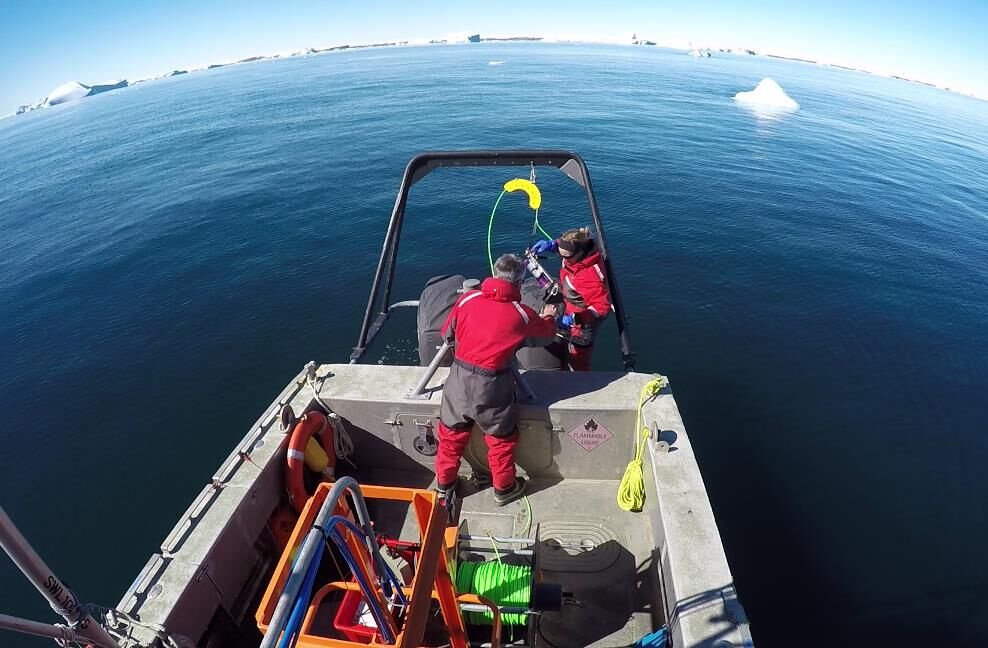
J. Smith led a survey in the Davis nearshore area during the 2016/17 summer season, in collaboration with the Royal Australian Navy and Australian Antarctic Division (AAS5093/GA0357/HI590). During the survey we mapped 111 km2 in high resolution with multibeam sonar in water depths ranging from 1 to 400 m, acquired 33 line km of sub-bottom profiles, sediment samples from 18 sites and underwater video transects from 25 sites.
These datasets provide detailed information for assessment of seafloor habitats.
In addition, we have presented our results at the SCAR Open Science Conference, released datasets and published several papers relevant to this project.
Summary of the season 2015/16
During the last 12 months we have made good progress in analysing existing and recently collected physical and biological datasets. Existing sediment samples from various parts of the East Antarctic shelf have been analysed for calcium carbonate mineralogy, as an indicator of their susceptibility to ocean acidification. Recent imagery and sediment samples collected from the Sabrina Coast shelf near the Totten Glacier have been analysed to understand the characteristics of the benthic habitats and communities on a part of the Antarctic shelf that has never previously been surveyed. This work is currently accepted for publication in the journal Antarctic Science. Datasets on the geomorphology of the nearshore region adjacent to Davis Station have recently been released via the GA website and submitted to the Australian Antarctic Data Centre, and we have conducted a preliminary geomorphic interpretation of the nearshore region adjacent to Casey. We were not able to secure any ship time via the AAD for the 15/16 season, but we are involved in planning for an RV Investigator voyage to the continental slope offshore from the Totten Glacier, now scheduled for January 2017, with preliminary planning (pending approval) also underway for a survey of the Davis nearshore region.