
Project information
Project aim
Estimates of East Antarctica’s contribution to present-day sea-level change vary from +30 to -109 Giga-tonnes of meltwater per year, a range that is equivalent to more than 10% of the global-mean rate of sea-level change. This disagreement is largely due to technique-specific systematic error, most notably that due to glacial isostatic adjustment (GIA) – the solid Earth’s response to past ice-ocean loading changes. One of the largest disagreements in East Antarctic GIA is within the Casey-Davis sector, where predictions of present-day bedrock motion for the same location vary between uplift of 4mm/yr and subsidence of 1mm/yr.
Here we propose to address this contradiction through the collection of new field data on bedrock uplift and ice thickness change over time and apply those data to improved ice sheet reconstructions and a model of GIA. Finally, we will apply our new GIA model to produce an improved estimate of East Antarctica’s contribution to present-day sea level.
Project milestones
Summary of the project achievements 2019/20
The overall context of this work was to improve our understanding of the current contribution of Antarctica to sea-level rise. This project focused on resolving disagreements in East Antarctica of models of glacial isostatic adjustment (GIA) – the solid Earth's response to past ice-ocean loading changes. GIA needs to be accurately removed from some satellite-based estimates of ice-sheet-change to obtain accurate estimates of ice-sheet change.
One of the largest disagreements in East Antarctic GIA is within the Casey-Davis sector, where predictions of present-day bedrock motion for the same location vary between uplift of 4mm/yr and subsidence of 1mm/yr. The reasons for these differences relate to limited understanding of past ice sheet changes (back to 20,000 years before present), and the solid Earth's response to such changes.
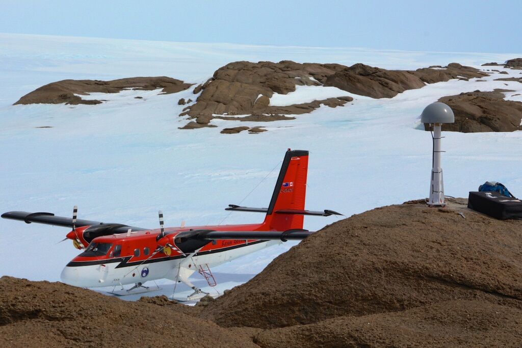
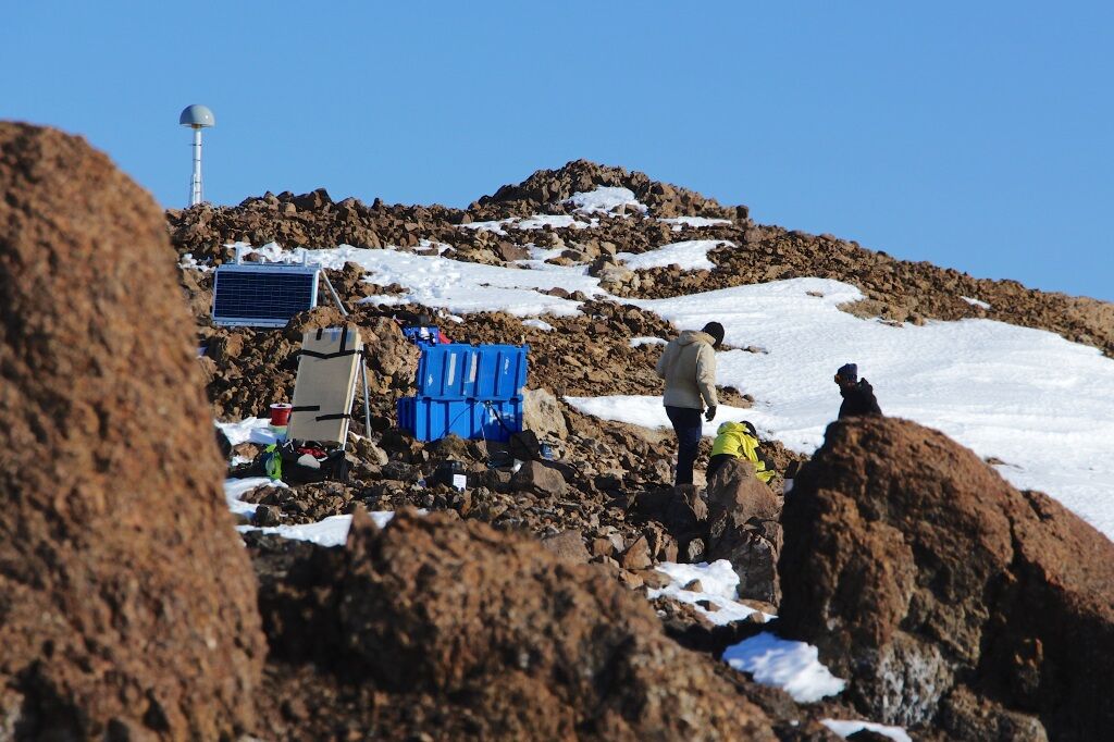
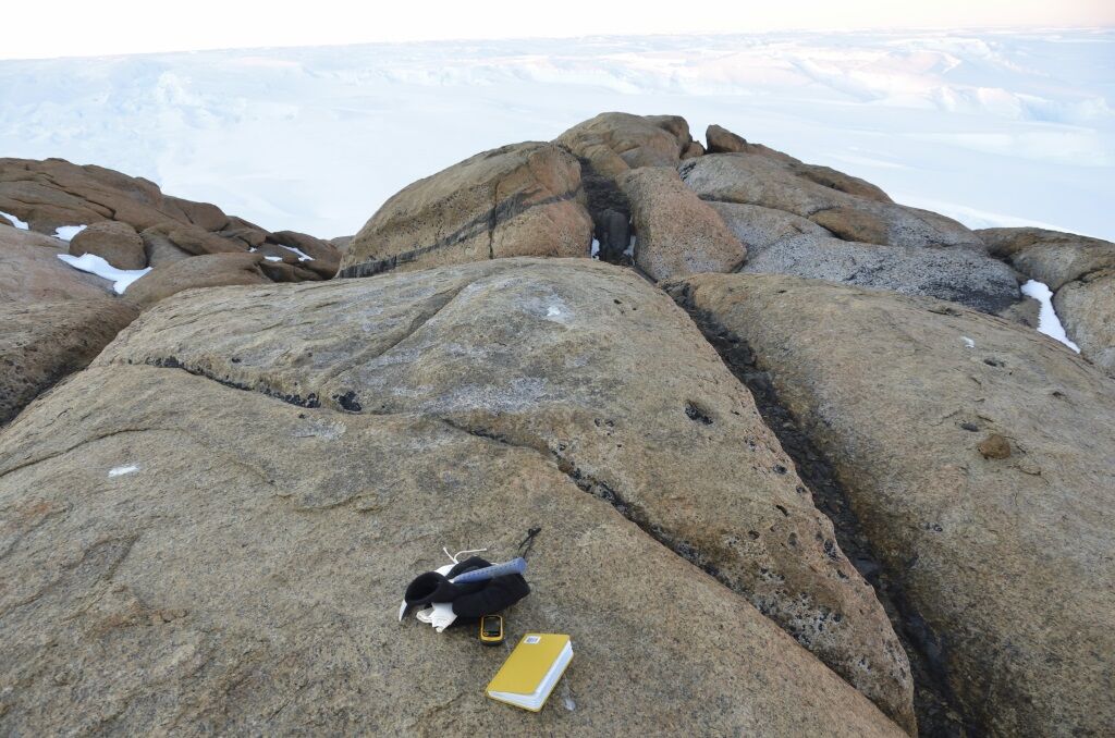
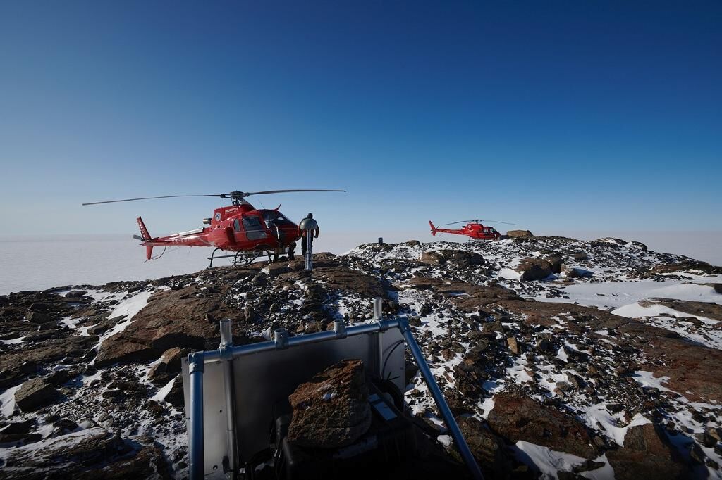
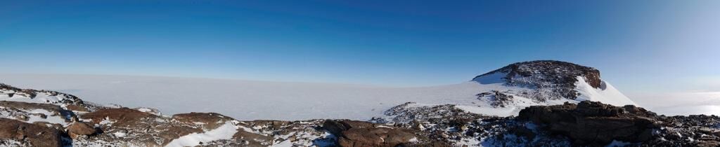
Within the project, arrays of GPS and seismic instruments were deployed across a previously unsampled region of East Antarctica, between 86°E and 121°E. In parallel, geological samples were taken from bedrock, lake sediment, and from glacial erratics – the boulders left behind as the ice sheet retreated in the past.
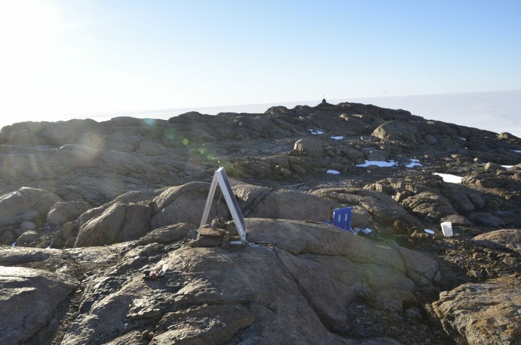
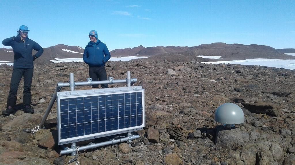
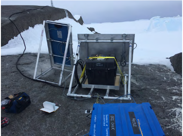
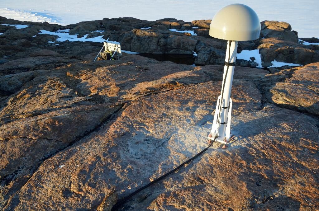
Six new continuous measurement GPS sites were deployed and eight seismic instruments. About 1500 kg of geological samples were collected.
The geological analysis provided a detailed history of ice retreat at 14 major locations across the sector. The analysis detected a pulse of ice sheet thinning, primarily at the coast, that concluded at ~10,000 years before present. Larger, more dynamic outlet glaciers were the most responsive to climate and sea level changes at this time.
An initial appraisal of the seismic data suggests that a large domain exists in the lithosphere to the east of Davis station, with more geological complexity existing in lithosphere beneath the region surrounding Bunger Hills, and extending to Casey Station.
The GPS analysis remains provisional, due to limited data at 3 of 7 sites. However, those which do show uplift rates of 2.0-3.7mm/yr, substantially higher than forward GIA models, but in broad agreement with one estimate derived from satellite estimates.
Summary of the season 2018/19
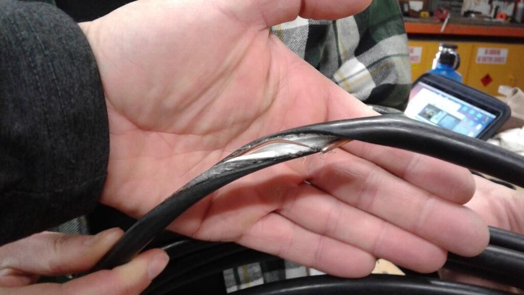
The season consisted of site visits to download and maintain GPS and seismic instruments. Site visits occurred at Chick Island, Bunger Hills, Mt Strathcona, Gillies Island and Snyder Rocks. Data was downloaded at all sites. The antenna cable at Chick Island was found to be worn through, apparently because of abrasion and was replaced; data analysis is pending to understand effect of this on data quality. In most cases, the GPS sites are running through much of the winter, with modest data gaps over June-August. Seismic instruments are likewise often recording through the winter. Data analysis of these newly downloaded data are pending, to produce GPS time series and velocities and make seismic inferences of crustal and mantle structure and rheology.
Summary of the season 2017/18
This year was the third field season for this project and was based out of Casey Station. Like previous seasons the work involved collecting geological samples to help us understand; A) how quickly the East Antarctic Ice Sheet has retreated since the Last Glacial Maximum, and B) how has sea level changed during the same time period. In addition we revisited previously installed GPS and seismometers stations to maintain these installations and retrieve the data collected.
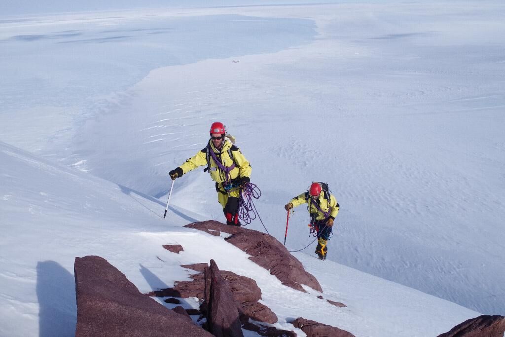
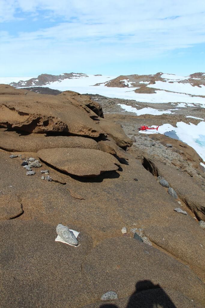
This field season has expanded on the area covered during previous years. We visited numerous islands and peninsulas close to Casey, as well as sites further away such as the Bunger Hills. In these areas we collected rock samples that record how long it has been since the ice sheet retreated and left the rocks where we find them today. We also took sediment cores from lakes that can tell us whether these lakes used to be connected to the sea and how long ago this was. Finally, we collected samples from ancient beaches that are now found up to 10 m above sea level, dating these samples can tell us how quickly sea level has changed since the beaches were formed.
The highlight of the field season was when we made a rare Australian visit to Mount Sandow, an isolated mountain, over 1000m high emerging from the ice sheet. We collected the first rock samples from this site to date when the mountain first emerged from the ice sheet.
This field season has obtained samples from many sites where past changes in ice sheet extent and sea level change are unknown. The data to come from future analysis will represent some of the first information from this part of Antarctica, a crucial area for understanding both past and future sea level change.
Summary of the season 2016/17
The 2016/17 season was effectively part 2 of the 2015/16 season, targeting field sites that were not able to be visited during the initial field season. This involved collection of geological samples and deployment of Global Positioning System (GPS) and seismometers onto rock outcrops poking through the ice. The geological samples will allow us to determine the extent of the ice sheet at the Last Glacial Maximum (~20,000 years before present), and the subsequent timing and pattern of its retreat to the point we see it today. The GPS measures the ongoing change in shape of the Earth as it responds to the past changes in ice. The seismometer measurements help us infer how the Earth responds when the ice sheet grows and shrinks. Geological samplesare now being analysed, along with provisional analysis of GPS and seismic datasets.
In addition to acquiring data from entirely new sites, we also revisited our sites at which GPS and seismometers were deployed last year to download data and maintain the equipment.
Summary of the season 2015/16
This project is focused on improving our understanding of the contribution of the East Antarctic Ice Sheet to sea level since the Last Glacial Maximum. Our aim is collect field data that constrain the extent and retreat history of the past ice sheet. We do that through geological sampling. We are also attempting to understand the solid Earth's response to those past changes in the amount of ice sitting upon it, and so we are making seismometer measurements to understand the interior of Earth and GPS measurements of crustal motion to measure the actual ongoing response of the solid Earth. We will use all these data to improve computer models of the ice history and solid Earth response.
Season 2015/16 was the first field season for this project, operating at Casey, Davis and remote outcrops between the two stations. The fieldwork was further supported by the Australian Research Council Antarctic Gateway Partnership.
We collected geological samples at 6 sites, representing the first comprehensive survey of the ice history in this region of Antarctica. We deployed continuous GPS at 4 remote outcrop sites, 3 of which are entirely new installations. We deployed seismometers at the same 4 remote outcrop sites plus Davis. Several remote sites remain to be visited in coming seasons, logistics allowing.
The analysis of the geological samples will occur through 2016. GPS and seismometer data will not be available from these sites until repeat visits occur in coming seasons.