
Project information
Project aim
Over the Southern Ocean and Antarctica, water in clouds can remain liquid to temperatures as low as -35°C. Besides causing dangerous icing of aircraft, this supercooled liquid partly determines whether clouds cool or heat the earth’s surface. This aspect of clouds is poorly known over the Southern Ocean; satellite measurements are ambiguous, it is an inhospitable place to conduct measurements from the surface, and in regard to cloud the models for climate and weather agree with neither the satellites nor the few aircraft based measurements that have been made. However the Southern Ocean has a huge impact on Australian weather and climate, and whether the clouds there are liquid or ice is a critical part of the models used for weather and climate forecasting. This project will make in-situ measurements of clouds to profile thoroughly the ice/liquid partitioning for the first time at these high southern latitudes, to improve the models and resolve the measurement ambiguities.
Project milestones
Summary of the project achievements 2019/20
Cloud, radiation and aerosol data have been collected at locations over, and bordering, the Southern Ocean over the period from March 2016 to December 2020. These data are being analysed with the aim of testing and improving meteorological models that are used for weather and climate prediction.
The instruments were provided for this by the AAD, the Australian Bureau of Meteorology (BoM), Snowy Hydro, the US Department of Energy's ARM program, CSIRO, the University of Canterbury and the University of Adelaide (UofA). This project focussed on measurements from the in-situ instruments from UofA that measured cloud and aerosols by a polarimetric backscattersonde (polarsonde) and holographic particle imaging, and used the data from the other instruments for context and corroboration. These were a varying mix of radar, lidar, radiometer and precipitation instruments.
Shipborne data was obtained on the RV Investigator (March/April 2016) and Aurora Australis (summer 2017/18). On the former, the UofA instruments were accompanied by instruments from BoM and CSIRO, and on the latter by instruments from the AAD/DoE MARCUS project.
Several balloon flights of the polarsonde were made at Macquarie Is. in the 2016/17 summer season, which obtained high resolution vertical profiles of cloud and aerosol densities, and also their shapes by virtue of the polarimetric nature of the device.
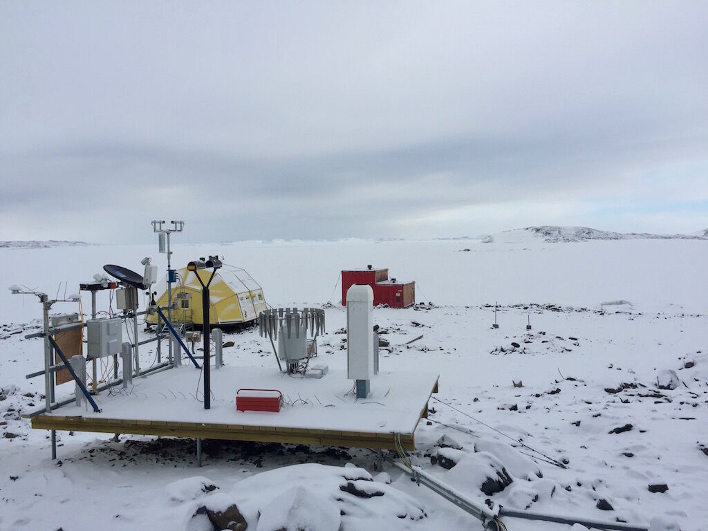
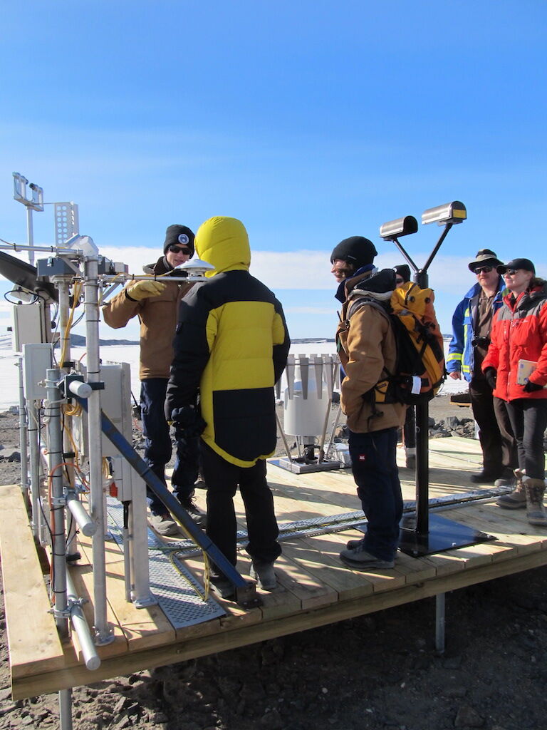
Both the polarsonde and holographic instruments were deployed at Davis in the 2018/19 summer, as part of a suite of precipitation measurements involving also the EPFL in addition to the players listed above. Also several balloon launches of the backscatter instrument were made at Davis. Of particular interest is super-cooled liquid water in the clouds which is an aviation hazard and has a poorly understood distribution.
In 2020 a balloon flight of the holographic particle imager was made through cloud over SA. This returned images of water droplets and ice particles.
Cloud lidar measurements made at Adelaide are being analysed, specifically to validate cloud products of the ACCESS and ERA5 models.
An attempt was made to retrievably launch a polarsonde over the Southern Ocean (Ross Sea) by a Helikyte from the RV Tangaroa by colleagues at NIWA in NZ. This however was unsuccessful because of rough weather at times when suitable low-level cloud was present.
Summary of the season 2018/19
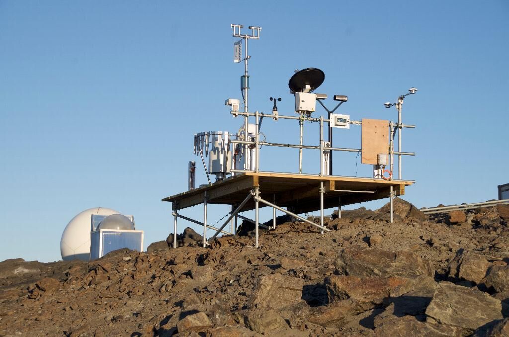
Optical backscatter instruments to determine whether cloud and fog particles are solid or liquid have been deployed at Davis Station. Two of these are fixed instruments on platforms to sense low-level cloud and blowing snow, and the remainder were launched on weather balloons. Of particular interest is super-cooled liquid water in the clouds which is an aviation hazard and has a poorly understood distribution. During a sounding with one of the balloon launched instruments an aircraft was approaching Davis, and the instrument's detection of a layer of cloud with supercooled liquid was confirmed by pilot report. In addition a new holographic microscope was deployed to make images of snow particles. That and the fixed-mount backscatter instruments will remain at Davis to make observations until the start of the 2019/20 summer season.
Summary of the season 2017/18
Two polarsondes were left mounted on masts to probe the low level clouds and aerosols passing by Macquarie Is, from January 2017 to January 2018. These were successfully retrieved in March 2018, and shipped back to Adelaide for checking and data retrieval.
In addition to this, analysis of data from balloon-launched polarsondes (2016/17 summer) has been proceeding. The latter profile the clouds and other optical scatterers from sea-level to ca 15000 metres altitude. Early indications are that these data are giving significant information on insoluble aerosols throughout the troposphere. This was unexpected. However the scope of the data analysis is necessarily expanding to include various satellite products, to verify that these aerosol detections are valid.
An attempt was made to retrievably launch a polarsonde over the Southern Ocean (Ross Sea) by a Helikyte from the RV Tangaroa by colleagues at NIWA in NZ. This however was unsuccessful because of rough weather at times when suitable low-level cloud was present.
Summary of the season 2016/17
Instruments that measure the amount of particles in the atmosphere, in particular cloud droplets and ice crystals were used at Macquarie Is, including being mounted on masts and flown on weather balloons. These have made in-situ profiles of the make-up of cloud layers with a low-cost device. One particular goal, that was achieved, was the detection of supercooled liquid water clouds. In other contexts these are an aviation hazard, but over the Southern Ocean their distribution and prevalence are major problems for meteorological models.
Summary of the season 2015/16
Equipment for measurement of cloud thermodynamic phase was placed at Macquarie Island in March 2016 in preparation for a campaign in the summer of 2016/17.