

Project information
Project aim
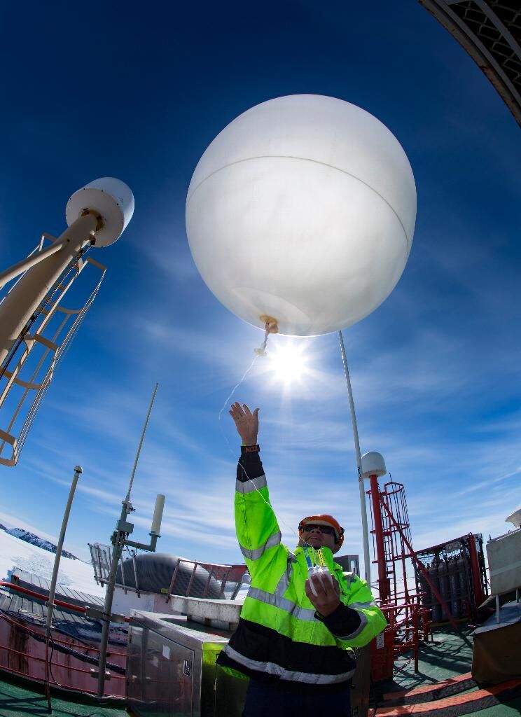
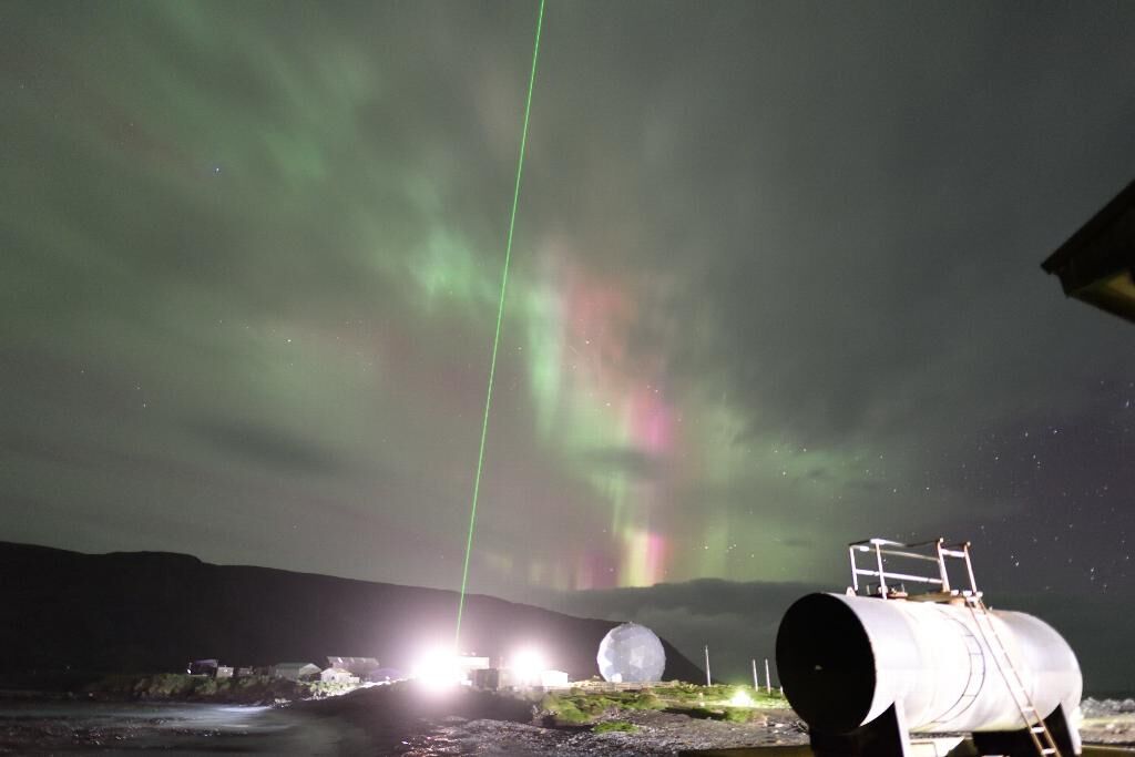
Clouds and their radiative effects have very large uncertainties in present climate models and their quantification continues to be a challenge. The inadequate representation of clouds and moist convection in climate models is the main limitation in current representations of the climate system. Large biases in shortwave radiation and sea surface temperatures in the Southern Ocean are characteristic of most models. These biases are due to an incorrect microphysical representation of clouds in models, in particular the ability to simulate sufficient low-level clouds. We will deploy a suite of instruments to Macquarie Island and then to Davis to characterise clouds and their effects on surface energy balance in the high southern latitudes. We will use the data collected to validate satellite cloud retrievals; evaluate weather forecasting and climate models; and aid in model development.
Project milestones
Summary of the project achievements 2019/20
The Antarctic Clouds and Radiation Experiment (ACRE) was led by the AAD and brought together national and international research scientists in order to understand and quantify key cloud microphysical properties over the high Southern latitudes. The experimental component centred on three campaigns which were designed to ensure that a wide variety of latitudes were sampled, and the seasonal cycle captured at fixed ground-based locations.
Some of the ACRE science highlights include:
(a) Common occurrence of supercooled clouds and drizzle in high-latitude cloud systems
(b) Active generating cells are present within cyclones south of the Polar Front
(c) Persistent dried sea-salt layer is present above the surface well-mixed boundary layer in the mid-latitude Southern Ocean, but absent further south
(d) Clouds near the Antarctic coast exist at times in regions of higher aerosol loading, which suggests sensitivity of cloud properties to biogenic aerosols
(e) The amount of ice nucleating particles (INP) over the Southern Ocean are around 1000 times lower than previously believed
(f) Incorporating the correct amount of INP into high-resolution WRF simulations at Mawson enables supercooled liquid water clouds to be produced, in accordance with observations
(g) Quantification of Southern Ocean shortwave radiation biases using the HadGEM3 global climate model and MERRA reanalysis
(h) Quantification of the underestimate of low-level boundary clouds by satellite, when compared with surface-based observations
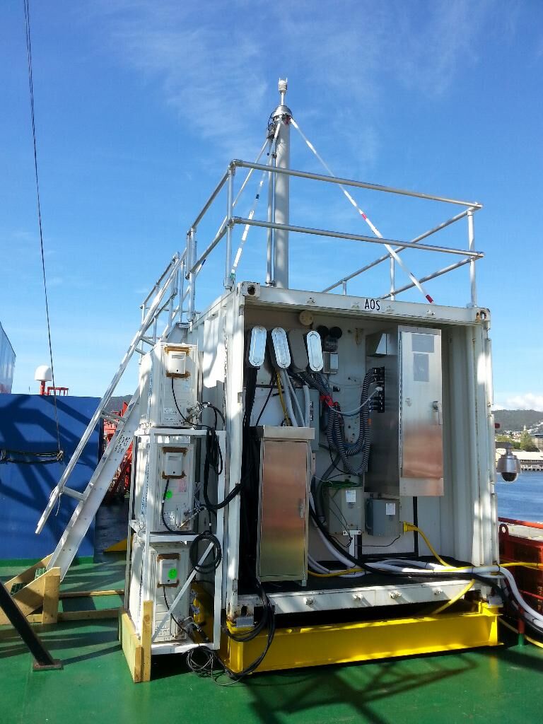
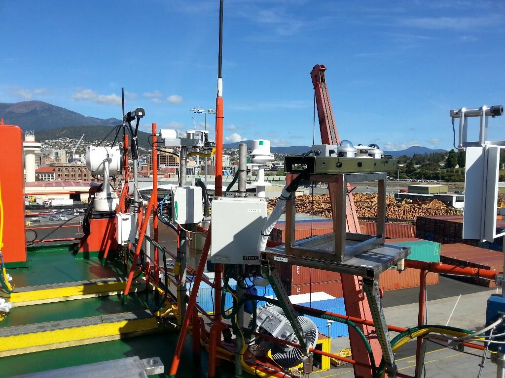
We supported two US Department of Energy Atmospheric Radiation Measurement (ARM) campaigns through ACRE, specifically a two-year deployment on Macquarie Island (2016 - 2018), which supplemented AAD, BoM and CSIRO instrumentation; and the deployment of an ARM Mobile Facility aboard Aurora Australis for summer 2017 - 2018, which provided a unique clouds, aerosol and radiation dataset at high southern oceanic latitudes and over sea ice. These data are all freely accessible to the international community.
We note that these datasets produced continue to be analysed by research groups in Australia and overseas. In particular, through the Australian Antarctic Programme Partnership, work continues using these ACRE datasets (along with others collected in the Southern Ocean) for ACCESS model evaluation and improvement.
Summary of the season 2018/19
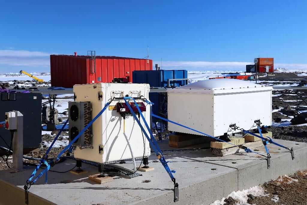
We deployed our clouds and radiation instruments to Davis station, Antarctica during summer 2018/19 for the purpose of studying the unique properties of the pristine clouds found at these high latitudes. Although preliminary analyses have only just commenced, we already have identified examples of multiple layers of thin super-cooled liquid water clouds (i.e. liquid water clouds existing at temperatures below zero), which often have ice falling out of them.
During the last twelve months, we have advanced our understanding of Southern Ocean cloud, radiation and aerosol processes. We have completed a detailed study quantifying the relationship between cloud and surface radiation fields measured onboard Aurora Australis; and determined the vertical and latitudinal structure of sea-salt aerosols which assist in cloud formation. We are also advancing several studies using data from the MARCUS field campaign (aboard Aurora Australis during summer 2017/18), ranging from understanding the occurrence of super-cooled liquid water cloud to quantifying ice nucleating particles.
Summary of the season 2017/18
The 2017/18 summer observational season was extraordinarily successful. The deployment of the US Department of Energy's Atmospheric Radiation Measurement (ARM) program instruments aboard the Aurora Australis for the entire summer has resulted in a unique and valuable dataset. The clouds, aerosols and precipitation data collected during multiple transects of the Southern Ocean, and especially the data collected at high latitudes (south of 60S) will provide a plethora of new science results over coming years. Already, scientists and students from multiple institutions have commenced work using the ARM data.
The second and final year of cloud, aerosol and precipitation observations were completed at Macquarie Island. The relatively small set of instruments deployed performed as well as could be expected in this most challenging of environments. The instruments were returned to Australia in March 2018 as scheduled.
Two externally-led projects were also part of the ACRE PI's summer of Southern Ocean science observations. Firstly, a US NSF-funded research aircraft flew out of Hobart to make 16 flights of in-situ cloud and aerosol observations over the Southern Ocean. Secondly, RV Investigator carried a smaller suite of clouds and aerosol instruments to that aboard Aurora Australis, but timed and located to allow overflights by the research aircraft to co-ordinate surface-based and in-situ observations.
Summary of the season 2016/17
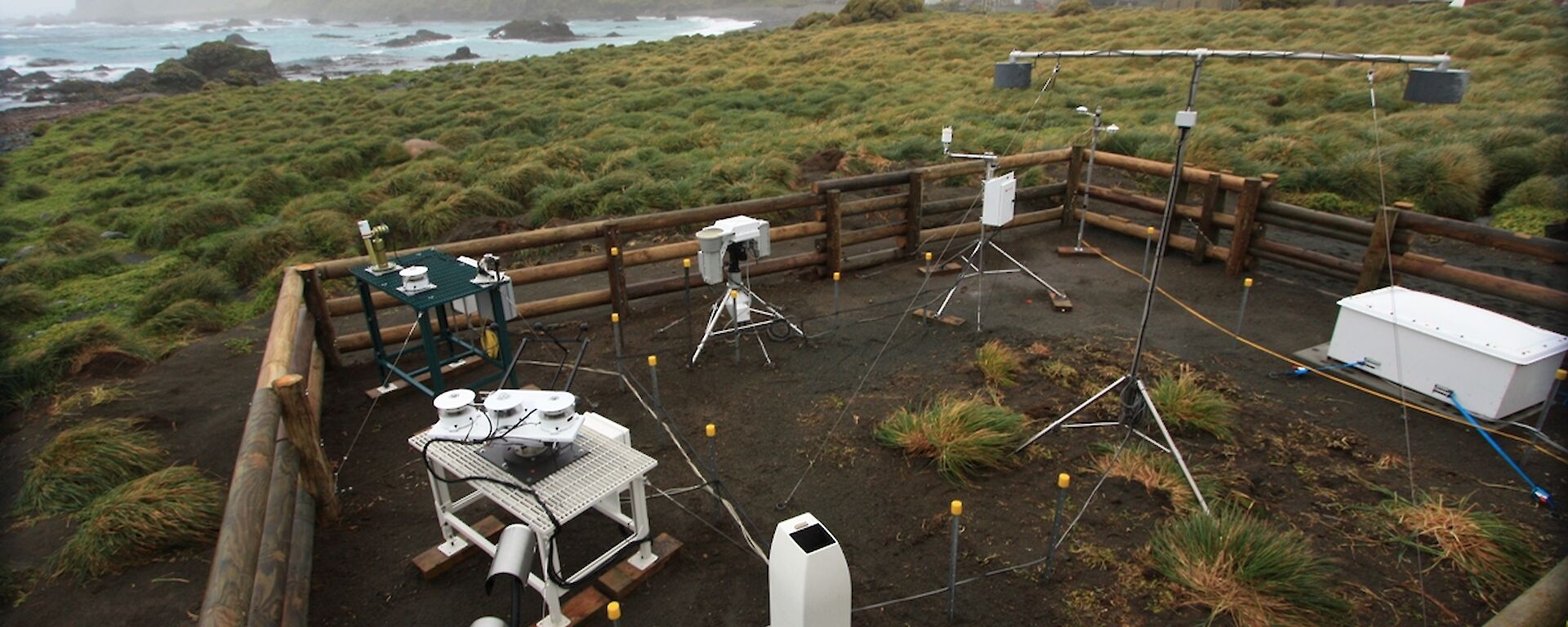
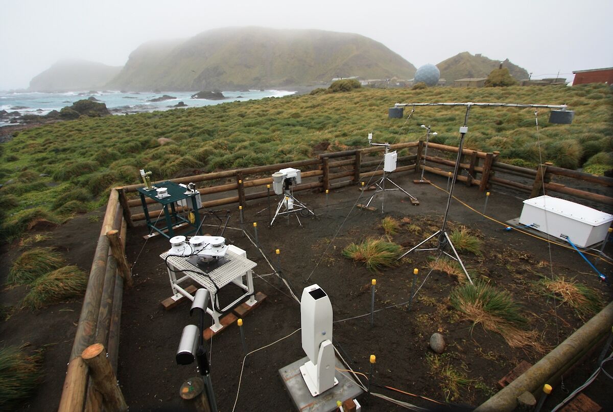
Surface-based remote sensing cloud, radiation and aerosol data have been collected on Macquarie Island since March 2016 in order to quantify seasonal and diurnal properties. Instruments have been provided for this purpose by the AAD, the Australian Bureau of Meteorology, the US Department of Energy's ARM program, CSIRO and the University of Canterbury (New Zealand).
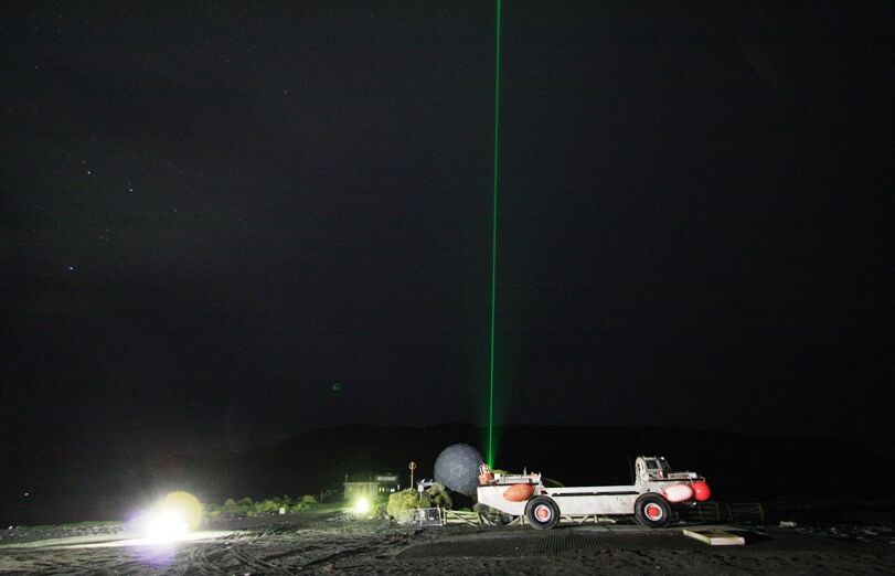
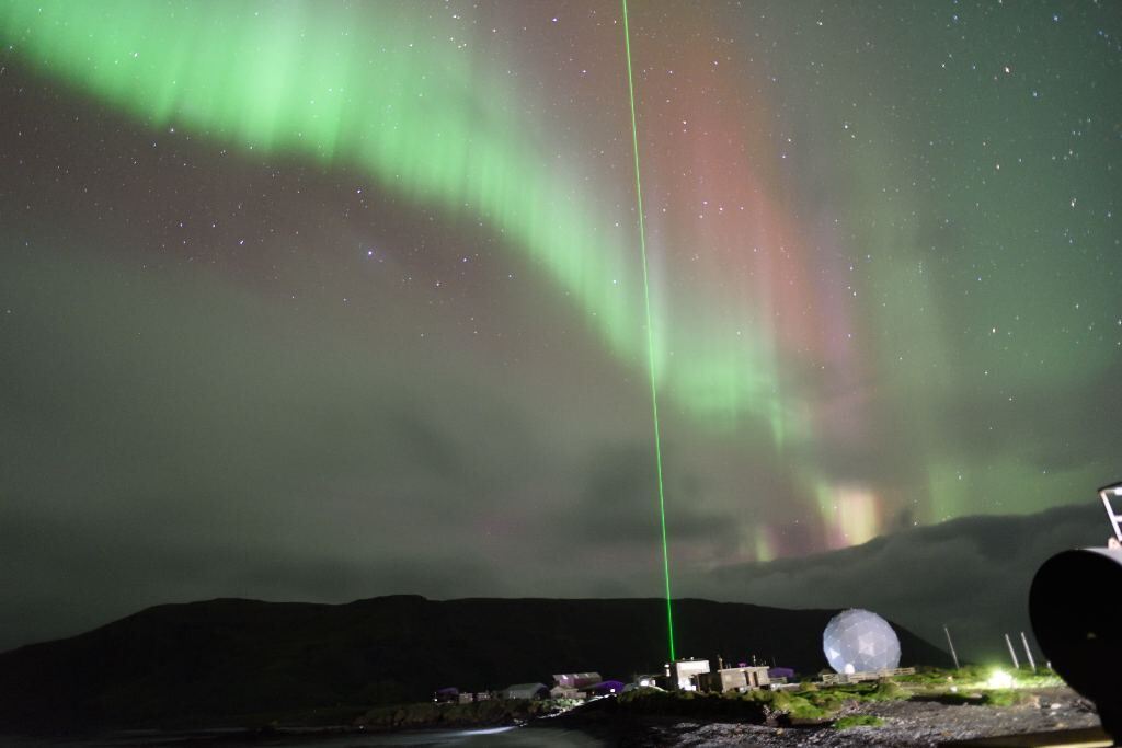
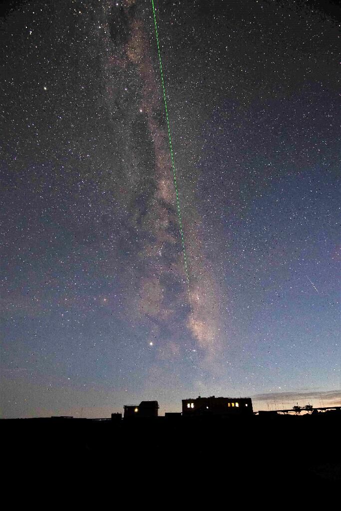
Data collection continued during FY2016-17 at Macquarie Island although was interrupted by a laser failure in the AAD's POLAR lidar system. The lidar was returned to the factory in Novemember 2016 and resumed operation on Macquarie Island in March 2017. Additional ARM-MICRE instruments (two 2-channel microwave radiometers MWRs) were sent in to replace the non-working 3-Channel MWR over summer. An ice nucleating particle detector was also deployed adjacent to the Clean Air Laboratory in March 2017. The Bureau of Meteorology's cloud radar was removed in March 2017 as scheduled. The CSIRO aerosol instruments and the University of Canterbury's ceilometer operated well for the first year of operation and remain on the island.
Summary of the season 2015/16
The first year of ACRE was characterised by the installation of instruments and commencement of data collection. Since the project's approval, major successes have included:
(1) Approval from the US Department of Energy (DoE) Atmospheric Radiation Measurements program (ARM) for the MICRE (Macquarie Island clouds and radiation experiment) project, which is part of the ACRE deployment to Macquarie Island in April 2016.
(2) Application to and approval by ARM for a second, much larger and ambitious deployment of part of one of their mobile facilities onboard Aurora Australis during summer 2017/18 (project MARCUS) as part of ACRE. This will tie in with a large, international project SOCRATES during January 2018 (funding from NSF to be confirmed)
(3) Successful install and operation of AAD's polarisation lidar, the Bureau of Meteorology's cloud radar, University of Canterbury's ceilometer, CSIRO's aerosol CPC and CCNC instruments and the ARM surface radiation instruments (MICRE campaign) during the autumn 2016 resupply.
(4) Successful install and data collection for V1 - V3 during summer 2015/16 aboard Aurora Australis of the AAD's radiometers and all sky camera and University of Canterbury's ceilometer.
(5) Successful install and data collection by French scientists at Dumont d'Urville (for summer 2015/16) of the AAD's radiometers as part of their precipitation project.