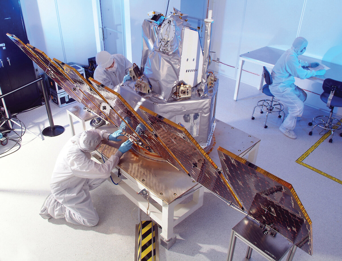

A special atmospheric research campaign for the International Polar Year was undertaken at Davis this summer to gain improved understanding of ice-aerosol layers in Earth’s atmosphere and the effects of global climate change. Five scientists and an engineer spent the summer at Davis operating the complex radar and lidar instruments, while the recently launched AIM satellite (Aeronomy of Ice in the Mesosphere) passed overhead. The Davis observations provide the first Southern Hemisphere study of noctilucent clouds using the AIM satellite.
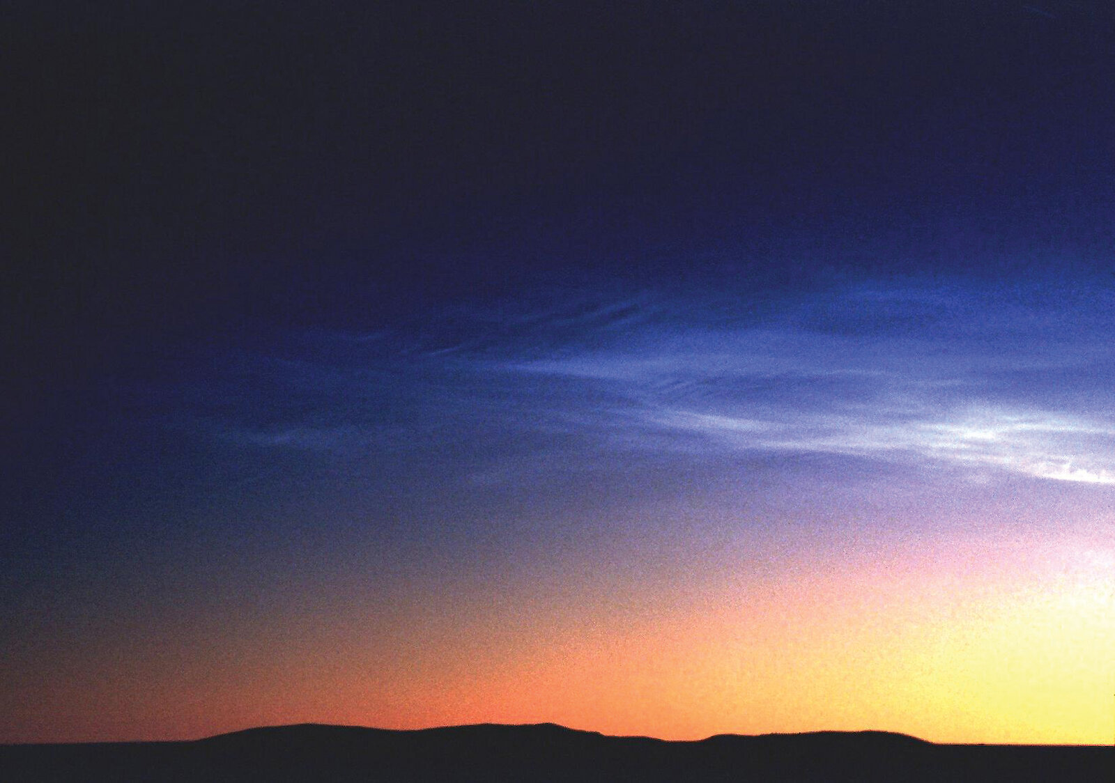
Noctilucent clouds are a rare phenomenon that occur in the polar regions in summer. The clouds form at the edge of space near a height of approximately 85km in the atmospheric region known as the mesosphere (50–95km above ground), and exist only when temperatures are below approximately −120ºC. In the Southern Hemisphere, the clouds normally occur between late November and early February at latitudes greater than approximately 60ºS.Because of the special conditions required for noctilucent clouds to form, they are regarded as a sensitive indicator of climate in the middle atmosphere. Enhanced greenhouse emissions are leading to a warming at Earth’s surface. These gases are also partly responsible for a general cooling of the Earth’s stratosphere (10–50km above). Climate models also predict a cooling of the mesosphere, which will likely lead to greater occurrence and coverage by noctilucent clouds. There is some evidence from the Northern Hemisphere that the clouds are becoming more widespread and brighter.
Noctilucent or ‘night shining’ clouds are only visually observable when the sun is between six and 16 degrees below the horizon. These special viewing conditions are difficult to obtain from land in the Southern Hemisphere. However, remote sensing instruments such as the radars and the lidar at Davis can detect the icy layers over the full summer season.
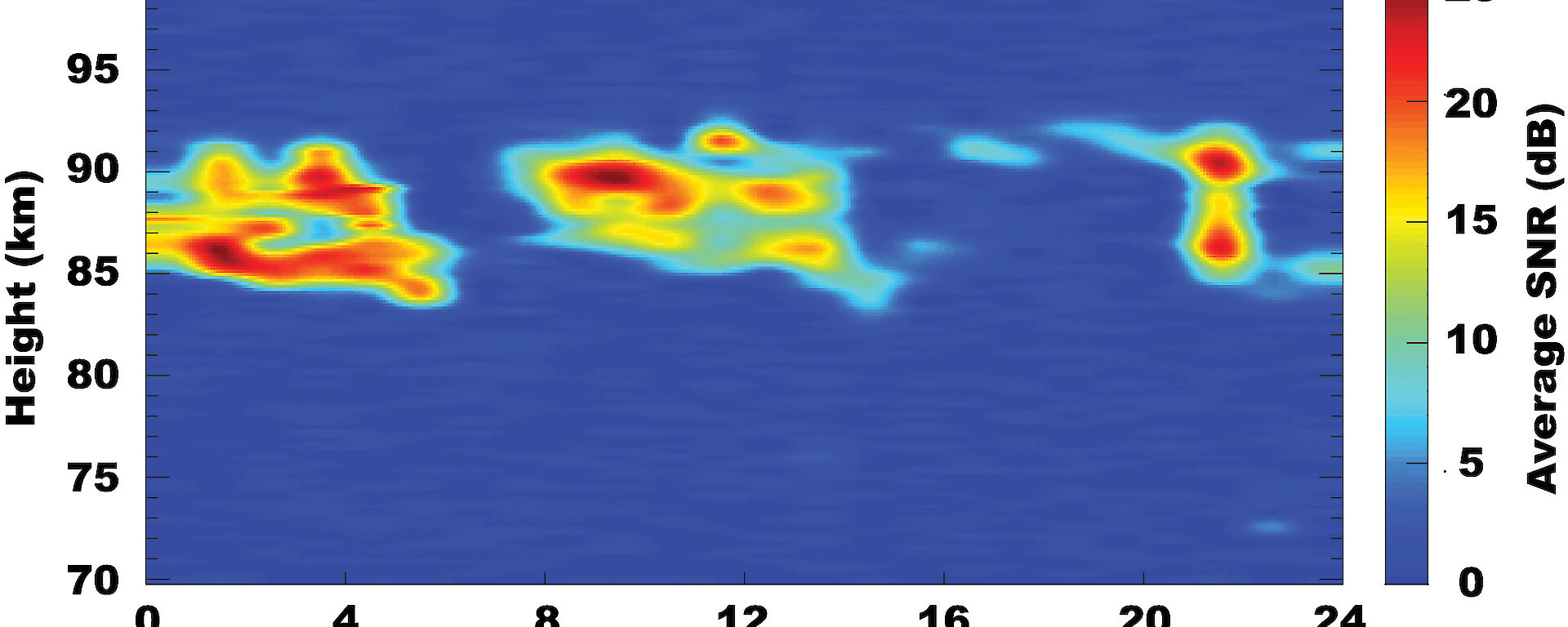
The ground-based radar and lidar measurements at Davis will be combined with observations from NASA's AIM satellite to understand the conditions required for the clouds to form. This will help in verifying detailed climate models for the upper atmosphere.The lidar detects ice-aerosols (noctilucent clouds) with radii larger than 20nm (1nm = 10-9 m) and the radar detects charged ice-aerosols (or polar mesosphere summer echoes) with radii larger than 3 nm. AIM also detects ice-aerosols with radii larger than 3 nm. Thus, a comparison of our lidar/radar combination at Davis, with AIM, will allow us to distinguish between the ice-aerosols (noctilucent clouds) and charged ice-aerosols (polar mesosphere summer echoes) for the first time in the Southern Hemisphere.
Recent noctilucent cloud (lidar) and polar mesosphere summer echoes (radar) observations from Davis were compared with their Northern Hemisphere counterparts to reveal that in the south they are dimmer and occur less frequently and one kilometre higher. AIM’s first Southern Hemisphere observations will provide a space validation of these earlier results, and establish whether the temperatures or water vapour content in this little studied region of the atmosphere are different above the north and south polar regions.
ANDREW KLEKOCIUK, RAY MORRIS and JOHN FRENCH
Ice, Ocean, Atmosphere and Climate Program, AAD