
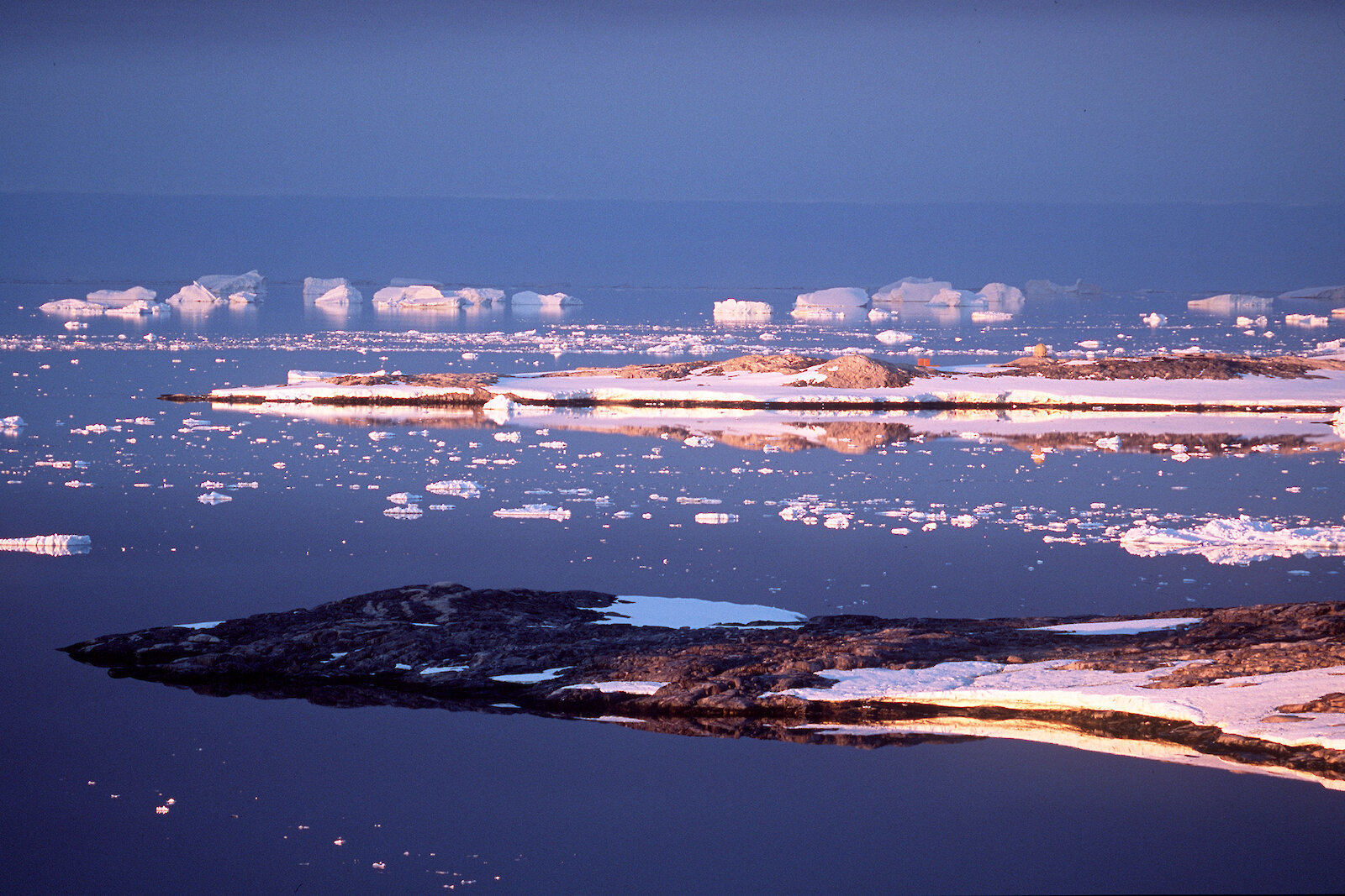
Under the Madrid Protocol, areas of outstanding natural values, such as biodiversity, geology, or landscape, can be protected as Antarctic Specially Protected Areas (ASPAs). However, East Antarctica is the largest under-sampled region of continental shelf around Antarctica, despite more than 100 years of human activity in the region. As a result, secure protection through informed spatial management is not possible. But a strategy of adaptive management can be employed, using new information as it comes to hand, to strengthen and improve protective measures.
Most ASPAs in East Antarctica have been designated to protect biodiversity values, rather than non-living values such as geology or glaciology. However, our research focuses on the geological processes and characteristics that influence conservation values and vulnerability of Antarctic landscapes and geological features. It looks at landscape stability and vulnerability to disturbance — including rarity, fragility, sensitivity and ability to recover after disturbance. It also aims to develop methods to predict the distribution of rare or high value features, such as fossils or meteorites.
The research will provide the scientific foundation for spatial management and area protection in the East Antarctic, accounting for the special characteristics of Antarctic biodiversity and geodiversity, and the landscape and ecosystem processes that affect them.
The research focuses on three key questions:
- How do spatial patterns and landscape influence vulnerability of the biodiversity of Antarctica and how must they be accommodated in spatial planning?
- How do we select areas to include in the series of Antarctic Specially Protected Areas (ASPAs)?
- How should the non-living values of Antarctica be included in spatial planning and area protection?
To answer these questions scientists are examining existing data using spatial analysis and modelling tools to identify the main scales of geology, biodiversity, habitat patchiness and connectedness. This will allow identification of the effects these factors have on the susceptibility and resilience of Antarctic ecosystems, and any gaps in the data that could be filled by future field surveys.
The research is also documenting landscape variability (through, for example, seabed mapping and satellite data of sea ice cover), which can be linked to biodiversity. Scientists are examining relationships between populations using taxonomy and molecular genetic techniques and developing models to explain the current distribution of the biodiversity of East Antarctica and inform predictions of how it might change.